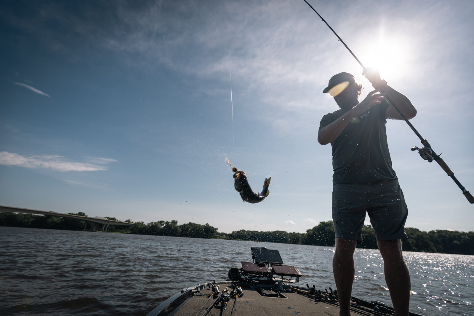
What Is the Best Bass Fishing App? Features To Look For in 2026
The best bass fishing app helps you do more than find water. It helps you choose the right lake, understand bass potential, scout structure, check conditions, save productive spots, and navigate with confidence once you’re on the water.
For anglers who want to spend less time guessing and more time casting, onX Fish brings those tools together in one app built for smarter fishing. With lake and species filtering, fish abundance insights, Recent Imagery, weather tools, fishing regulations, Waypoints, and Offline Maps, onX Fish helps bass anglers plan better trips from home and make better decisions on the water.
Whether you’re fishing a familiar lake after work, scouting new water for the weekend, or trying to build a repeatable bass pattern throughout the season, the right app should help you answer three questions:
- Where should I fish?
- What conditions should I expect?
- How do I get back to productive water?
What Makes a Bass Fishing App the Best?
A good fishing app gives you information. The best bass fishing app helps you turn that information into a plan.
Bass are structure-oriented fish. They move with seasonal changes, weather patterns, water temperature, pressure, baitfish, vegetation, and available cover. That means the best app for bass fishing should help you understand both where bass are likely to live and how conditions may influence their behavior.
Look for an app that combines mapping, species data, weather, waypoints, regulations, and offline navigation in one place.
Detailed 3D Lake Maps
Bass relate to structure throughout the year. Points, weed edges, creek channels, drop-offs, submerged humps, docks, timber, riprap, and shoreline transitions can all hold fish depending on the season and conditions.
A strong bass fishing app should help you identify these areas before you launch. Clear lake maps with 3D maps, imagery, and scouting tools make it easier to build a plan from home instead of burning time searching once you hit the water.
Species-Specific Lake Filtering
The best bass fishing app should help you find the right lake before you ever back down the ramp.
Not every lake has the same bass potential. Some offer better numbers. Others may have stronger size potential. Some are easier to access, while others may require more planning. Species-specific filtering helps you sort through options faster and focus on water that better matches your goal for the day.
For example, the onX Fish App includes Lake and Species Filtering, which allows anglers to filter by species, lake size, and abundance. For bass anglers, this can help narrow down where to fish based on the type of opportunity you’re looking for to start with better information and build a more focused plan.
Fish Abundance and Bass Potential
Finding a lake that holds bass is one thing. Understanding the quality of that opportunity is another.
Fish abundance insights help anglers evaluate whether a lake may offer better action, stronger keeper potential, or a better chance at larger fish. This matters when deciding between a quick after-work trip, a weekend outing, or a more serious day of scouting.
For bass fishing, that kind of information can help answer questions like:
- Is this lake worth the drive?
- Does it have better numbers or better size potential?
- Should I fish here for a quick bite or scout it for a bigger opportunity?
- Is this a lake I should revisit throughout the season?
Recent Imagery for Better Scouting
Bass fishing changes with the season. Vegetation grows and dies back. Water levels shift. Shoreline cover changes. Access points get crowded. Weed beds expand, thin out, or move depending on conditions.
Recent Imagery helps anglers read those changes before they get on the water with an aerial view only a few weeks old. Recent Imagery can also help you spot:
- Shallow vegetation
- Weed edges
- Dock clusters
- Shoreline transitions
- Back bays
- Access points
- Potential pressure areas
- Changes in water level or visible cover
That kind of scouting can save time and help you arrive with a stronger starting plan.
Weather, Feeding Times, and Lunar Data
Bass behavior changes with weather. Wind, pressure, temperature, cloud cover, moon phase, and approaching fronts can all influence where bass position and how aggressively they feed.
The best bass fishing app should make it easy to check conditions while planning your trip and while you’re on the water.
Use weather and feeding-time information to decide:
- When to start fishing
- Whether to target shallow or deeper structure
- Which side of the lake may have wind-blown cover
- Whether bass may be more active or more pressured
- When to slow down or change presentations
- Whether an approaching front may create a short feeding window
Weather alone will not catch bass for you, but when paired with lake maps, species data, and waypoints, it becomes much more actionable.
GPS Waypoints and Fishing Notes
A bass fishing app should help you learn from every trip.
Waypoints let you save productive spots, return to key structure, and build a personal map of what works over time. Every fish you catch gives you information. The more consistently you save that information, the more valuable your app becomes.
Use Waypoints to mark:
- Productive docks
- Weed edges
- Drop-offs
- Rock piles
- Points
- Brush or timber
- Spawning areas
- Offshore structure
- Safe routes
- Boat ramps
- Shore access
- Areas to revisit later
Add notes when possible so each Waypoint becomes more useful. Track depth, cover type, water clarity, lure, retrieve speed, time of day, weather, and wind direction.
Over time, those notes can reveal patterns. You may learn that one weed edge produces on cloudy mornings, a specific dock fishes best with wind pushing into it, or a point turns on when pressure drops.
Offline Maps for Fishing Without Cell Service
Cell service can be unreliable around lakes, especially on remote water, big reservoirs, or areas surrounded by timber, bluffs, or rural roads.
That is why Offline Maps are one of the most important features in a bass fishing app.
For example, onX Fish allows anglers to download detailed fishing maps, Waypoints, and imagery for offline use. This means you can keep navigating, checking saved spots, and referencing your plan even when service drops.
Offline maps are useful for:
- Remote lakes
- Big water
- Early morning or late evening trips
- Areas with unreliable reception
- Navigating back to the ramp
- Staying oriented in poor visibility
- Keeping access and Waypoint information available all day
For serious bass anglers, offline access is not just convenient. It can be a confidence and safety tool.
Fishing Regulations in the App
A good bass fishing app should help you plan legally as well as effectively.
Regulations can vary by state, lake, species, season, slot limit, and possession rule. Having regulations available in your fishing app helps reduce guesswork and makes it easier to check rules before you fish or before you keep a bass.
Access and Area Insights
Finding bass is only part of the equation. You also need to know how to access the water and what to expect once you arrive.
The best bass fishing app should help anglers understand ramps, access points, lake context, and nearby fishing opportunities.
For bass anglers, access information can help answer:
- Where should I launch?
- Is there public access nearby?
- What part of the lake should I start on?
- Can I reach this water from shore, kayak, or boat?
- How do I get back to this spot later?
Why Mapping, Species Data, and Offline Tools Matter Most
Many fishing apps provide pieces of the puzzle. The best bass fishing app brings the most important pieces together.
For bass anglers, the highest-value features are usually:
- Lake selection tools
- Species-specific insights
- Structure and imagery
- Weather and feeding-time data
- GPS waypoints
- Offline maps
- Regulations
- Access information
That mix matters because bass fishing is decision-heavy. You are constantly deciding where to start, whether to move, how deep to fish, what cover to target, and when to revisit a spot.
An app that only gives you weather can help with timing. An app that only gives you a map can help with location. But an app that combines lake data, mapping, conditions, and saved fishing history gives you a stronger decision-making system.
That is what makes onX Fish a strong choice for bass anglers who want a complete planning and navigation tool.
How To Use a Bass Fishing App To Catch More Bass
Installing an app is only the first step. The real value comes from using it consistently.
Here’s a simple workflow for getting more out of your bass fishing app.
1. Pick the Right Lake
Start with lake selection. Choose water that matches your goal for the day.
If you want action, look for lakes with stronger bass abundance. If you want a better shot at size, look for lakes with stronger trophy or keeper potential. If you only have a few hours, choose a lake with easy access and a manageable layout.
onX Fish helps streamline this step with lake and species filtering, abundance insights, access information, and map tools.
2. Build a Milk Run Before You Launch
Before your trip, mark a short list of high-probability areas.
Look for:
- Main-lake points
- Secondary points
- Weed edges
- Drop-offs
- Docks
- Riprap
- Creek channels
- Shoreline transitions
- Shallow bays
- Offshore humps
Choose three to five starting spots. This gives you a plan but still leaves room to adjust.
3. Match Your Plan to the Conditions
Next, check weather, wind, pressure, and feeding windows.
If wind is pushing into a bank, that shoreline may be worth a look. If pressure is rising after a front, you may need to slow down. If a feeding window lines up with morning or evening structure, plan your best spots around that timing.
Use the app to make a starting plan, then let the fish confirm or change it.
4. Download Offline Maps
Before leaving home or the ramp, download Offline Maps for the lake. Make sure your Waypoints and imagery are available without service.
This keeps your plan accessible even when cell signal disappears.
5. Drop Waypoints When You Catch Fish
Every catch tells you something. Mark it.
Add notes such as:
- Depth
- Cover
- Structure
- Lure
- Retrieve
- Wind
- Water clarity
- Time of day
- Weather
- Bass size
After several trips, your saved data can become more valuable than any single forecast or map layer.
6. Review Your Trip Later
After fishing, look back at your Waypoints and notes. Ask what the productive spots had in common.
Were fish on wind-blown points? Inside weed edges? Docks near deeper water? Shallow bays with warmer water? Rock transitions? The answers help you plan your next trip.
Is a Premium Bass Fishing App Worth It?
A premium bass fishing app is worth it if you fish regularly, explore new water, or want to make better use of limited time.
Free tools may be enough for basic maps or general weather. But premium features often unlock the information that helps anglers make better decisions, including:
- Better lake data
- Species-specific insights
- Fish abundance information
- Offline Maps
- Recent Imagery
- Waypoints
- Regulations
- Access details
- Weather and feeding-time tools
If you fish the same pond a few times a year, a basic free app may be enough. But if you fish lakes, travel, target bass seriously, or want to build better patterns, a complete app like onX Fish can quickly become part of your regular fishing system.
The Best Bass Fishing App Helps You Find Better Water
The best bass fishing app should help you fish with a plan.
It should help you choose the right lake, understand bass potential, scout structure, check conditions, save productive spots, and navigate when service drops. It should make your time on the water more focused and your decisions more informed.
That is where onX Fish stands out. With lake and species filtering, fish abundance insights, recent imagery, weather tools, regulations, offline maps, and GPS waypoints, it gives bass anglers a complete system for planning smarter trips and finding better water.
If your goal is to stop guessing and start making better decisions before and during every trip, onX Fish is the bass fishing app to start with.
Frequently Asked Questions
The best bass fishing app is one that helps you find productive water, understand bass potential, check conditions, save waypoints, and navigate without cell service. onX Fish is built for this kind of trip planning, with lake and species filtering, fish abundance insights, recent imagery, weather tools, fishing regulations, GPS Waypoints, and Offline Maps.
A bass fishing app should include detailed lake maps, species-specific lake filtering, fish abundance data, weather and feeding-time tools, Offline Maps, GPS Waypoints, Recent Imagery, access information, and fishing regulations. These features help anglers decide where to fish, when to fish, and how to return to productive areas.
Yes. A fishing app can help you find bass by showing high-probability areas like points, weed edges, drop-offs, docks, shoreline transitions, and offshore structure. Apps with species data and abundance insights can also help you choose better lakes before you launch.
Yes. onX Fish is a strong app for bass fishing because it helps anglers choose lakes, evaluate bass potential, scout structure, check weather and feeding windows, save Waypoints, download Offline Maps, review regulations, and navigate to productive water.
Yes. onX Fish allows anglers to download maps, Waypoints, and imagery for offline use. This is helpful when fishing remote lakes, areas with weak cell service, or big water where reliable navigation matters.
Offline Maps keep your lake maps, waypoints, and imagery available when cell service drops. This helps you stay oriented, return to productive spots, and navigate back to the ramp even without a signal.
Yes. Bass fishing apps are worth it for anglers who fish regularly, explore new water, or want to make better use of limited time. They help with lake selection, scouting, weather planning, waypoint tracking, and offline navigation.
The best bass fishing app for beginners is one that makes lake selection and structure easier to understand. onX Fish helps beginners filter lakes by species, review fish abundance, study imagery, check regulations, and save waypoints as they learn what productive bass water looks like.
Before a trip, use your bass fishing app to choose a lake, check bass potential, review regulations, scout structure, mark likely spots, check weather, and download Offline Maps. This gives you a plan before you get to the ramp.
The best bass fishing app for finding new lakes should include lake and species filtering, fish abundance insights, access information, Recent Imagery, and Offline Maps. onX Fish includes these tools, making it useful for anglers who want to discover and evaluate new bass fishing opportunities.