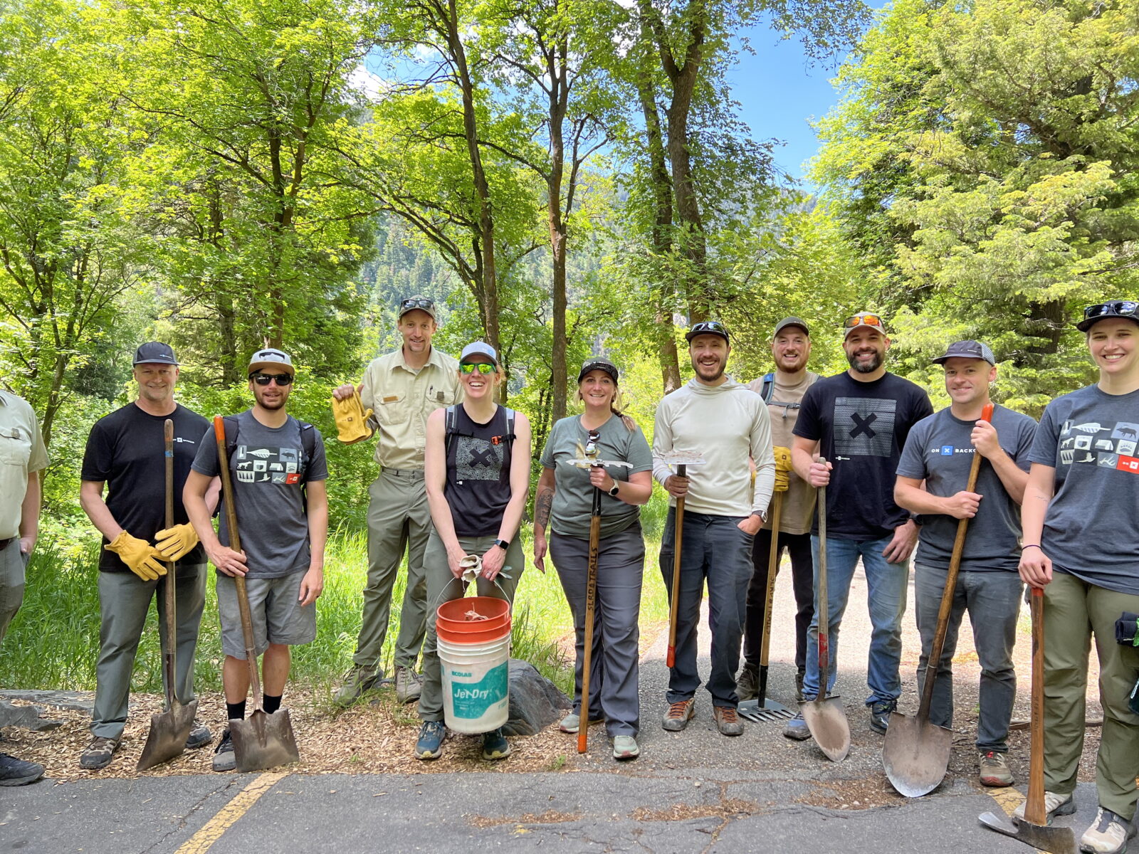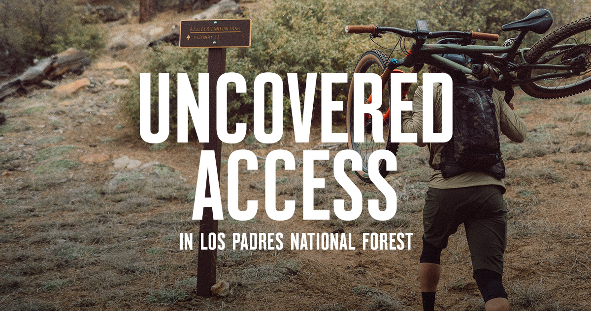


Access Initiatives
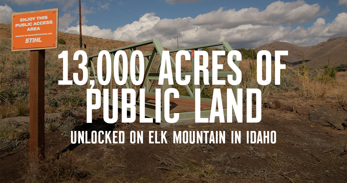
13,000 Acres of Public Land Unlocked on Elk Mountain, Idaho
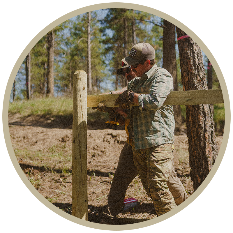
When a 23-acre property came up for sale that would unlock over 13,000 acres of public land, onX Founder Eric Siegfried jumped at the opportunity to help. The film below outlines how the project came together in partnership with the Rocky Mountain Elk Foundation (RMEF). Eric Siegfried, onX Founder, Helps Open Access in Idaho The […]