
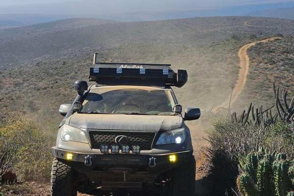
Off-Road Trails
Near Pueblo Benito García, Baja California
Off-Road Trails Near Pueblo Benito García, Baja California
Discover the best offroad trails near you. Browse trail maps, check difficulty ratings, and find your next adventure — whether you're looking for a quick ride or an all-day expedition.
Sleeping Bag
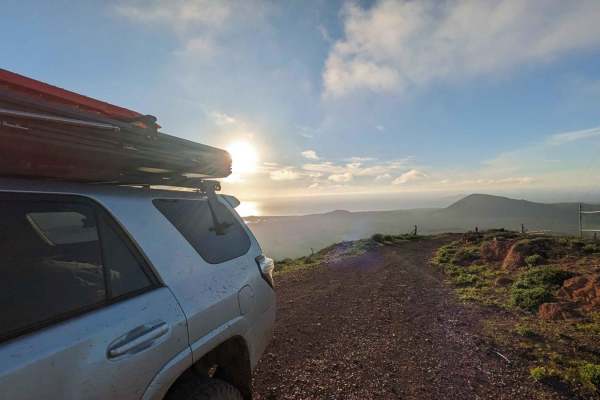
This trail starts easy and has a couple of spots that will test you. The trail consists mostly of hard-packed dirt with deep sand in a few places. Be careful on the hills, as it has loose rocks when you're climbing and descending. It's easy to slip coming down. You will come to a fork in the road;fo...
Learn more about Sleeping Bag
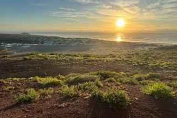
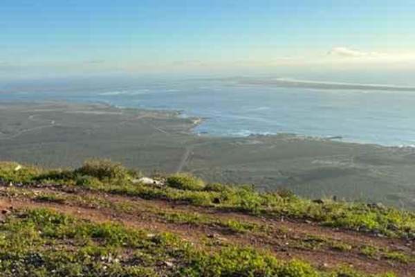
Bahia San Quintin
Starting from Ejido Chapala, this route traces the closest passable contour along the backside of Bahia San Quintin. Along the way, you may encounter various reptiles, unique bird species, and possibly snakes. Initially, for about 15-20 minutes, the trail will consist of mostly hard-packed terrain, ...
Learn more about Bahia San Quintin
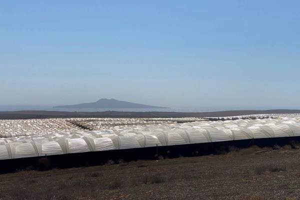
Fresas and Volcanoes
This alternative route has been established to bypass the jarring washboard road leading to La Chorera on the way to Punta Mazo Reserve. By taking the marked fork to the right along the trail, you will immediately find yourself driving on sandy terrain that is easily manageable with a 4WD vehicle an...
Learn more about Fresas and Volcanoes
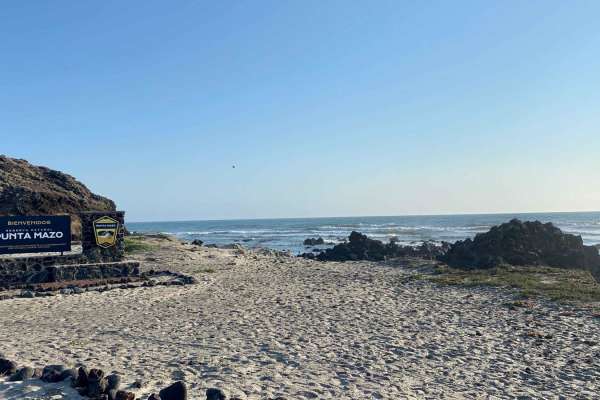
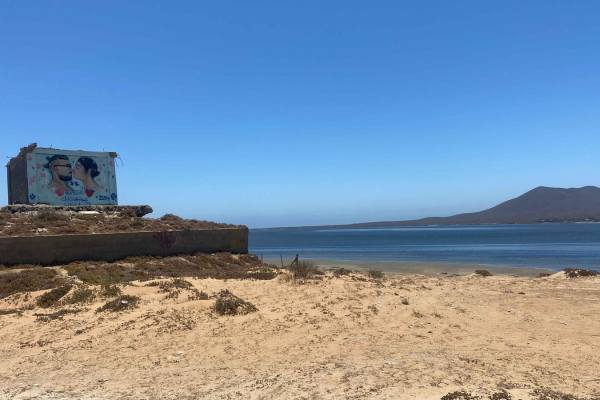
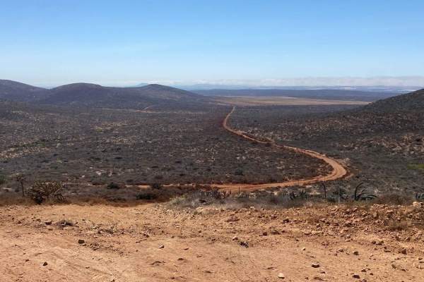
Valley of the Volcanoes to Punta Mazo Natural Reserve
The journey begins at Ejido Chapala, where the paved road transitions into a dirt path. While the road may be uncomfortably bumpy due to washboard patterns, it should not discourage adventurous travelers. You have the option to air down your tires or consider an alternative route provided by onX, wh...
Learn more about Valley of the Volcanoes to Punta Mazo Natural Reserve
Kenton Volcano Summit
The trail is relatively easy, but you will encounter many loose rocks throughout it. The trek goes from sea level up to 866 feet at the summit of Volcano Kenton. The steep charge to the summit is made easier with some cement two-track blocks. The view, which overlooks the bay and ocean, is stunning....
Learn more about Kenton Volcano Summit
Volcano Kenton Summit NE Route
The trail is a relatively easy 3.5-mile climb, but you will encounter many rocks and loose rocks throughout the trail. The trek goes from sea level up to 866 feet at the summit of Volcano Kenton. The steep charge to the summit is made easier with some cement two-track blocks. The view, which overloo...
Learn more about Volcano Kenton Summit NE Route
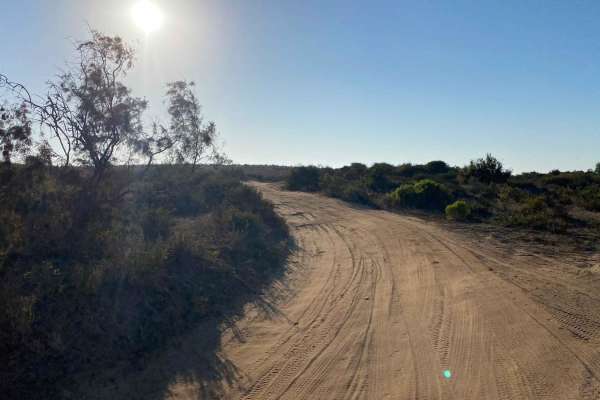
Mision Santa Maria Crossover
This off-road trail offers a practical, if not particularly scenic, alternative for traveling from Bahia San Quintin to the popular Hotel Mision Santa Maria area without using Highway One, allowing you to stay on dirt the entire way. Starting from the hotel side, the route begins on graded dirt road...
Learn more about Mision Santa Maria Crossover
Monte Ceniza Nature Reserve
After enduring the bumpy washboard road, you'll be glad you made the effort to reach this stunning loop. The trail ahead is velvety smooth and a joy to drive, offering some of the best scenery and wildlife sightings in the region. As you pass the volcanic area, you'll have the option to take short d...
Learn more about Monte Ceniza Nature Reserve
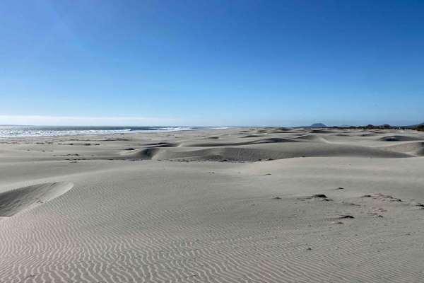
Mision Santa Maria Dunes
This trail offers a challenging off-road adventure through deep sand, running parallel to the coast and ending near Highway One. Starting as a narrow path suitable only for motorcycles and ATVs, the route features rolling deep sand sections before transitioning to a smoother, hard-packed surface. Al...
Learn more about Mision Santa Maria Dunes
Volcano Kenton Alternate (Steep) Route
This alternate route down from the summit ramp ascends over 800 feet in under three-quarters of a mile. It is a steep, rocky trail. It is the fastest way down (or up). There are various hairpin turns. Long-wheelbase vehicles will have to do multi-point turns. Trailers are not recommended. Downhill s...
Learn more about Volcano Kenton Alternate (Steep) Route
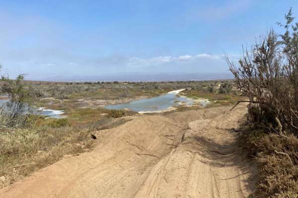
Salt Lakes Loop
The off-road adventure begins just a mile or so up the San Quintin Wash, heading toward the ocean. As you leave the wash, the trail transforms into a sandy two-track, ascending a distant hill. After a few climbs and descents, you'll reach the first dry lake bed, which offers a great spot for camping...
Learn more about Salt Lakes Loop
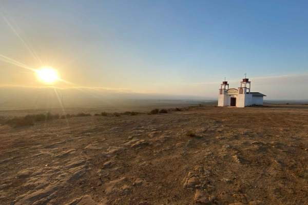
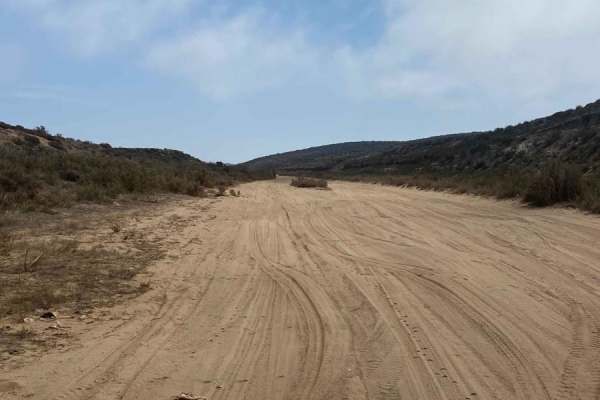
San Fernando Race Route
After leaving the paved road, it gradually transitions into dirt, marking the start of this trail. You'll wind through a small, remote neighborhood before reaching open land with flat spots ideal for camping on the left. The trail begins with a gentle climb, offering a view of a tiny church perched ...
Learn more about San Fernando Race Route
East of San Quintin
This off-road trail begins where the San Fernando to Sleeping Bag Trail takes its first right turn south, but instead of turning, it continues straight onto this relatively easy route. The trail features a few mild ruts and gentle ups and downs, making for a straightforward journey. It winds through...
Learn more about East of San Quintin
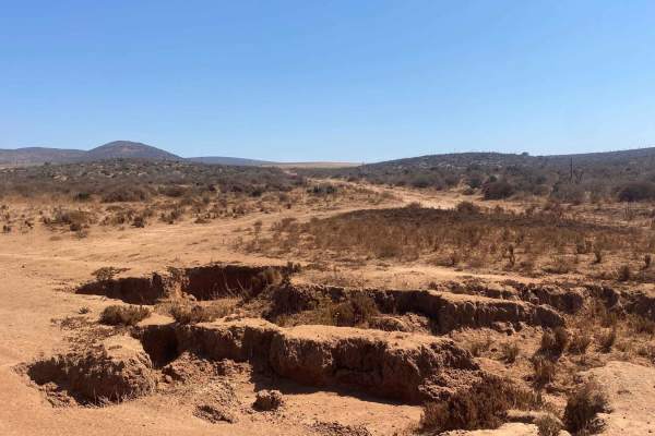
Ruta La Presa
This off-road trail, located east of San Fernando and accessible via the San Fernando to Sleeping Bag Trail route, offers a challenging and rugged adventure for experienced drivers. Initially, the path is manageable, with scattered small rocks, but it quickly becomes more difficult as the terrain gr...
Learn more about Ruta La Presa
Francisco Villa Loop
This off-road trail may not be particularly adventurous, but it leads to several coastal access points and offers access to a trail along the salt flats. Starting at the San Quintin bridge, you can choose between Francisco Via Road, which runs above the wash, or take the wash itself, with both route...
Learn more about Francisco Villa Loop
Coastal Route La Chorera
This route offers a slightly challenging but rewarding off-road experience, with most of the trail consisting of shallow to medium-deep sand set against the backdrop of contrasting salt lakes and ocean views. The trail initially provides smooth conditions and good traction along the lakes. After cli...
Learn more about Coastal Route La Chorera
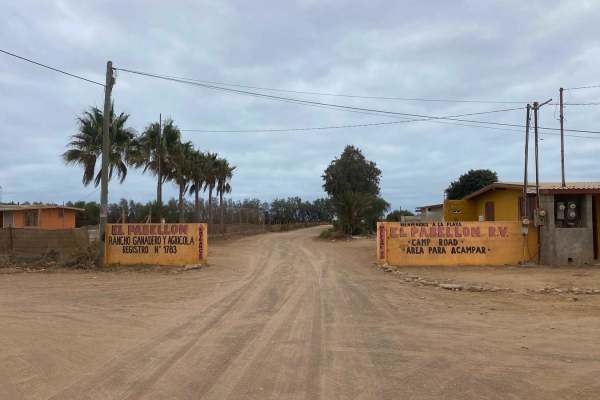
Salt Flats Pabellon
Starting from the Santa Maria Ejido, this off-road trail takes you about three-quarters of a mile through a local neighborhood before opening up onto the expansive salt flats behind the sand dunes. Ideal for motorcycles or quads, the ride through the flats is generally smooth, though be mindful of t...
Learn more about Salt Flats Pabellon
Laguna Figueroa
This scenic off-road loop begins about a mile from the San Fernando Loop, eventually connecting with another trail that leads to Playa San Ramon. Though the trail starts off looking smooth, it can be a bit bumpy due to previous race traffic, but it soon gives way to a light layer of sand and the smo...
Learn more about Laguna Figueroa
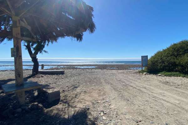
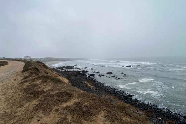
Beach Route El Socorro
From the Fidel Beach Route, this trail extends another five miles along the shoreline towards the town of El Socorro, offering a peaceful ride where you're unlikely to encounter many people, aside from the occasional fisherman or stone gatherer, identified by bags at the top of the beach. After a fe...
Learn more about Beach Route El Socorro
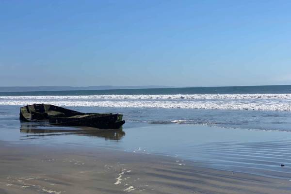
Beach Route Fidel
Starting near the Hotel Mision Santa Maria, this off-road trail takes you over sand dunes, where careful navigation is needed due to soft patches and deep areas, before leading to a firm, hard-packed beach. For the next four miles, you'll enjoy smooth driving along a flat, solid surface, especially ...
Learn more about Beach Route Fidel
ATV trails near Pueblo Benito García, Baja California
Explore ATV-friendly trails near you. These trails are accessible for vehicles up to 50 inches wide, perfect for ATVs and smaller off-road machines.
Sleeping Bag
This trail starts easy and has a couple of spots that will test you. The trail consists mostly of hard-packed dirt with deep sand in a few places. Be careful on the hills, as it has loose rocks when you're climbing and descending. It's easy to slip coming down. You will come to a fork in the road;fo...
Learn more about Sleeping Bag
Bahia San Quintin
Starting from Ejido Chapala, this route traces the closest passable contour along the backside of Bahia San Quintin. Along the way, you may encounter various reptiles, unique bird species, and possibly snakes. Initially, for about 15-20 minutes, the trail will consist of mostly hard-packed terrain, ...
Learn more about Bahia San Quintin
Fresas and Volcanoes
This alternative route has been established to bypass the jarring washboard road leading to La Chorera on the way to Punta Mazo Reserve. By taking the marked fork to the right along the trail, you will immediately find yourself driving on sandy terrain that is easily manageable with a 4WD vehicle an...
Learn more about Fresas and Volcanoes
Valley of the Volcanoes to Punta Mazo Natural Reserve
The journey begins at Ejido Chapala, where the paved road transitions into a dirt path. While the road may be uncomfortably bumpy due to washboard patterns, it should not discourage adventurous travelers. You have the option to air down your tires or consider an alternative route provided by onX, wh...
Learn more about Valley of the Volcanoes to Punta Mazo Natural Reserve
UTV/side-by-side trails near Pueblo Benito García, Baja California
Find UTV and side-by-side trails near you. These trails accommodate vehicles up to 60 inches wide, ideal for UTVs, side-by-sides, and wider off-road rigs.
Sleeping Bag
This trail starts easy and has a couple of spots that will test you. The trail consists mostly of hard-packed dirt with deep sand in a few places. Be careful on the hills, as it has loose rocks when you're climbing and descending. It's easy to slip coming down. You will come to a fork in the road;fo...
Learn more about Sleeping Bag
Bahia San Quintin
Starting from Ejido Chapala, this route traces the closest passable contour along the backside of Bahia San Quintin. Along the way, you may encounter various reptiles, unique bird species, and possibly snakes. Initially, for about 15-20 minutes, the trail will consist of mostly hard-packed terrain, ...
Learn more about Bahia San Quintin
Fresas and Volcanoes
This alternative route has been established to bypass the jarring washboard road leading to La Chorera on the way to Punta Mazo Reserve. By taking the marked fork to the right along the trail, you will immediately find yourself driving on sandy terrain that is easily manageable with a 4WD vehicle an...
Learn more about Fresas and Volcanoes
Valley of the Volcanoes to Punta Mazo Natural Reserve
The journey begins at Ejido Chapala, where the paved road transitions into a dirt path. While the road may be uncomfortably bumpy due to washboard patterns, it should not discourage adventurous travelers. You have the option to air down your tires or consider an alternative route provided by onX, wh...
Learn more about Valley of the Volcanoes to Punta Mazo Natural Reserve
The onX Offroad Difference
onX Offroad combines trail photos, descriptions, difficulty ratings, width restrictions, seasonality, and more in a user-friendly interface. Available on all devices, with offline access and full compatibility with CarPlay and Android Auto. Discover what you're missing today!
Open Trail Map