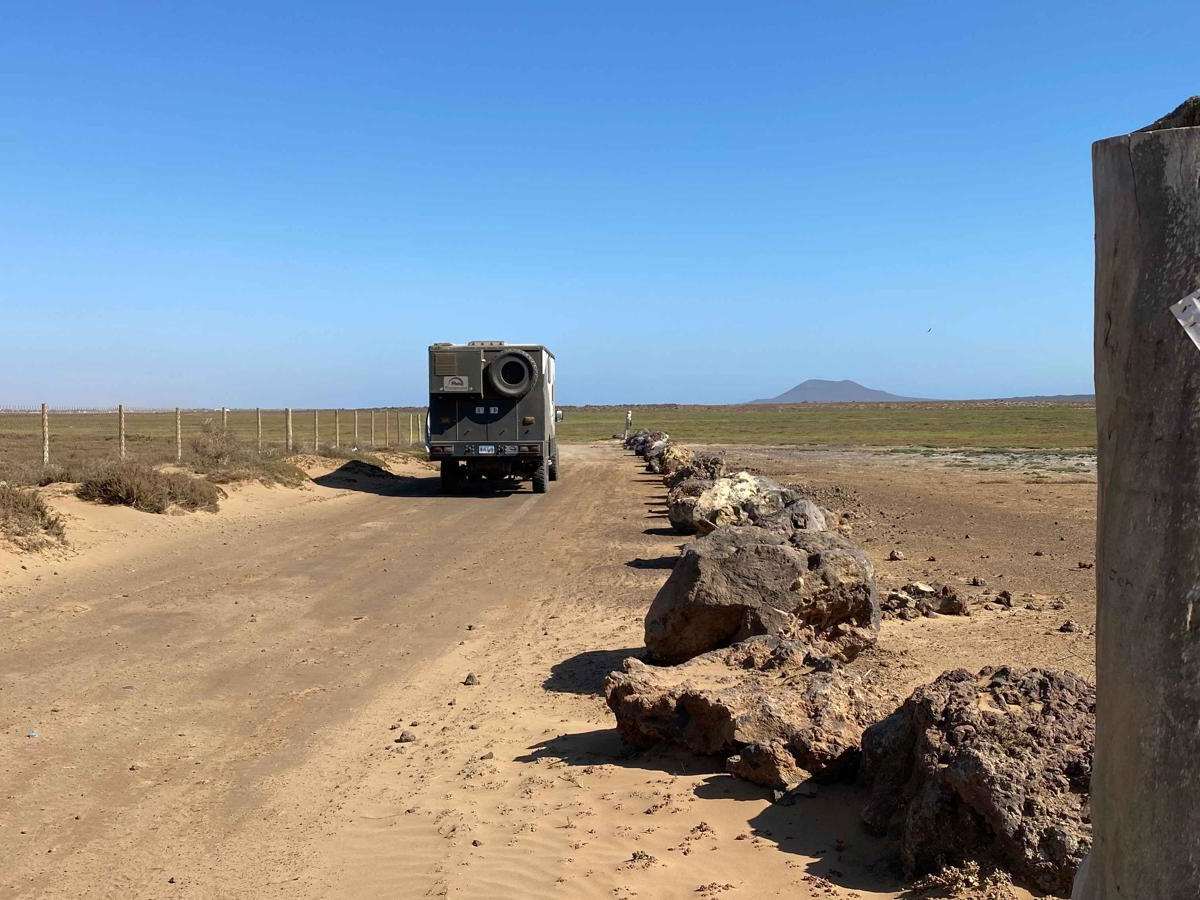
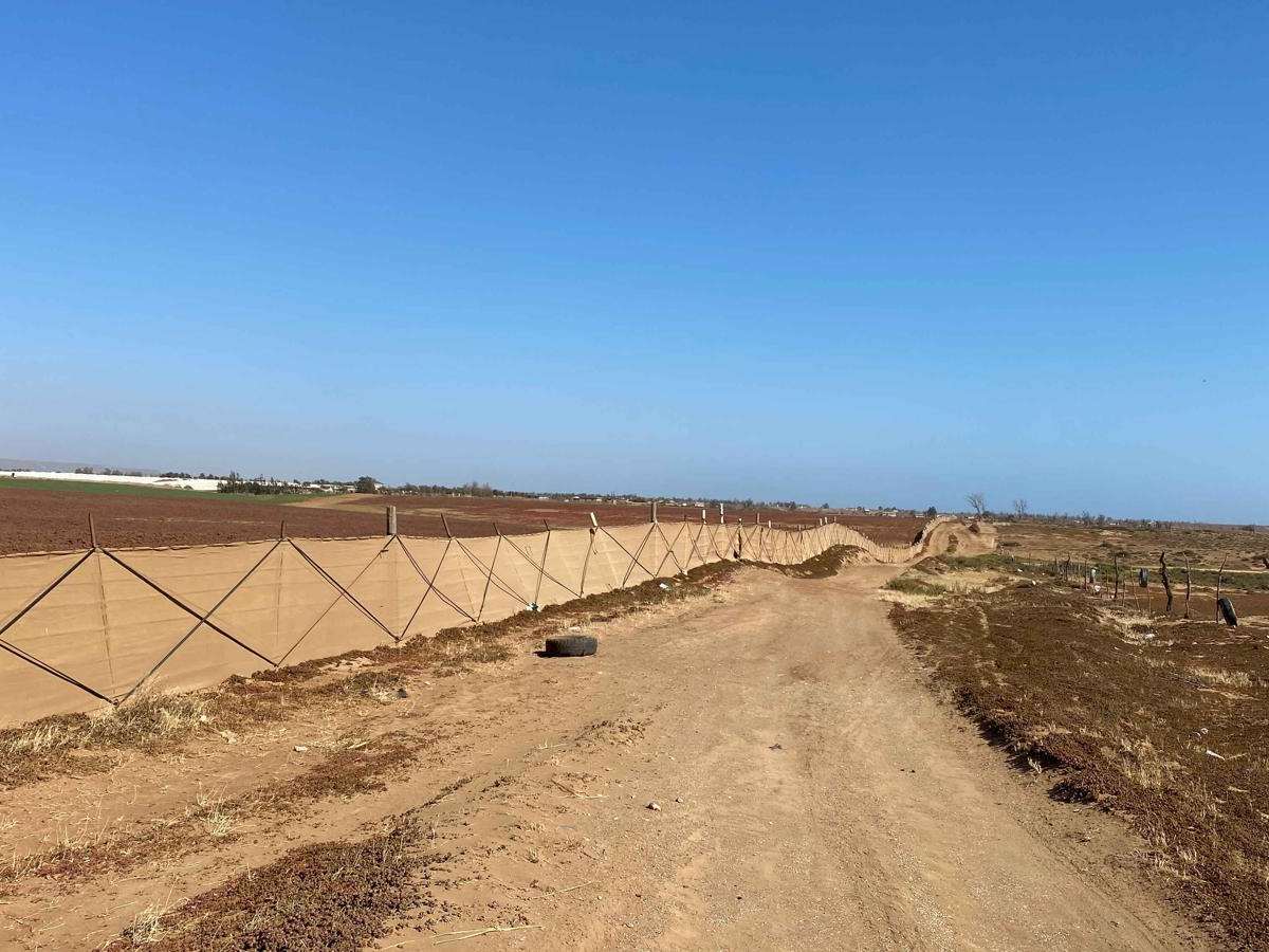
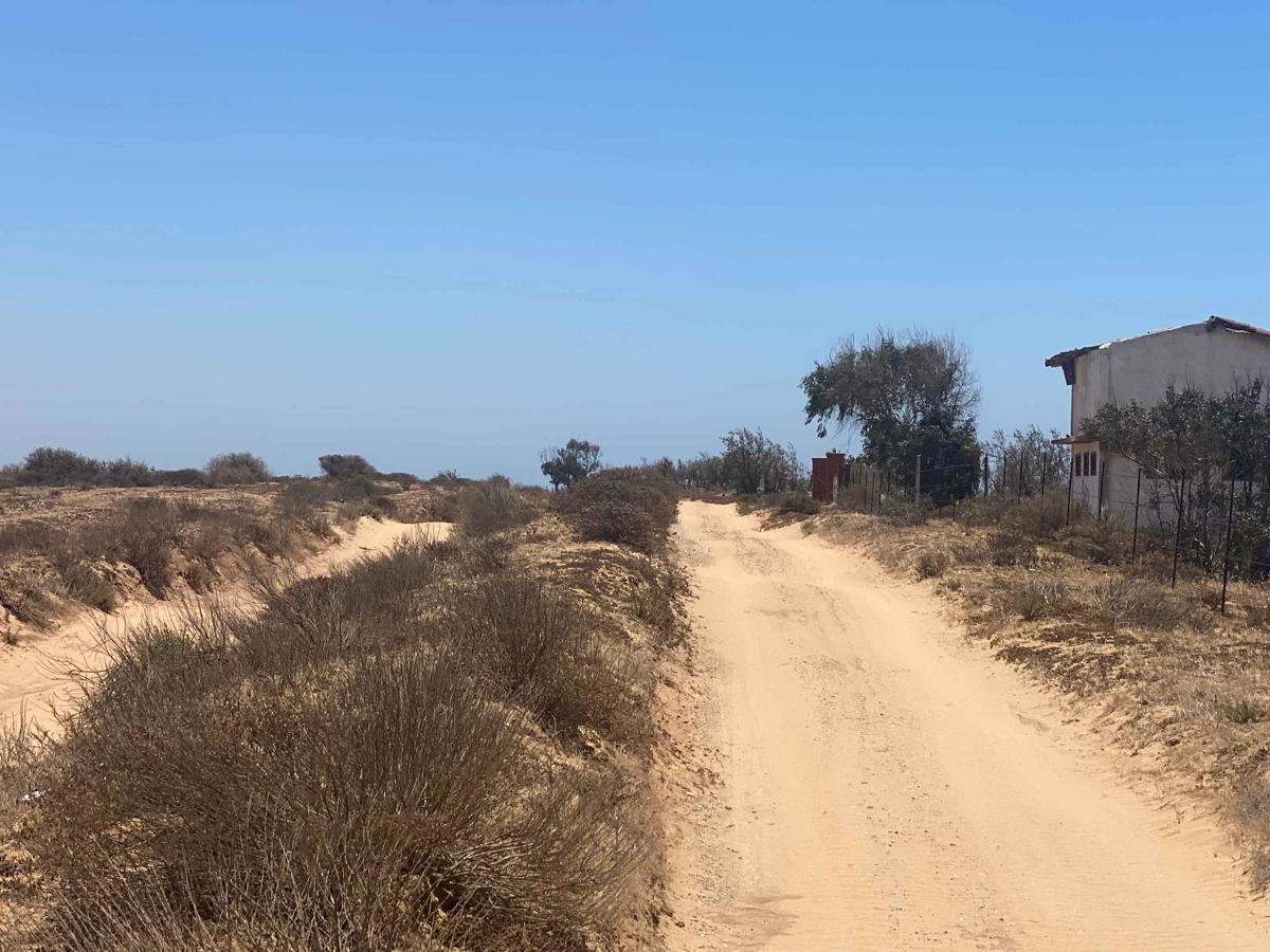
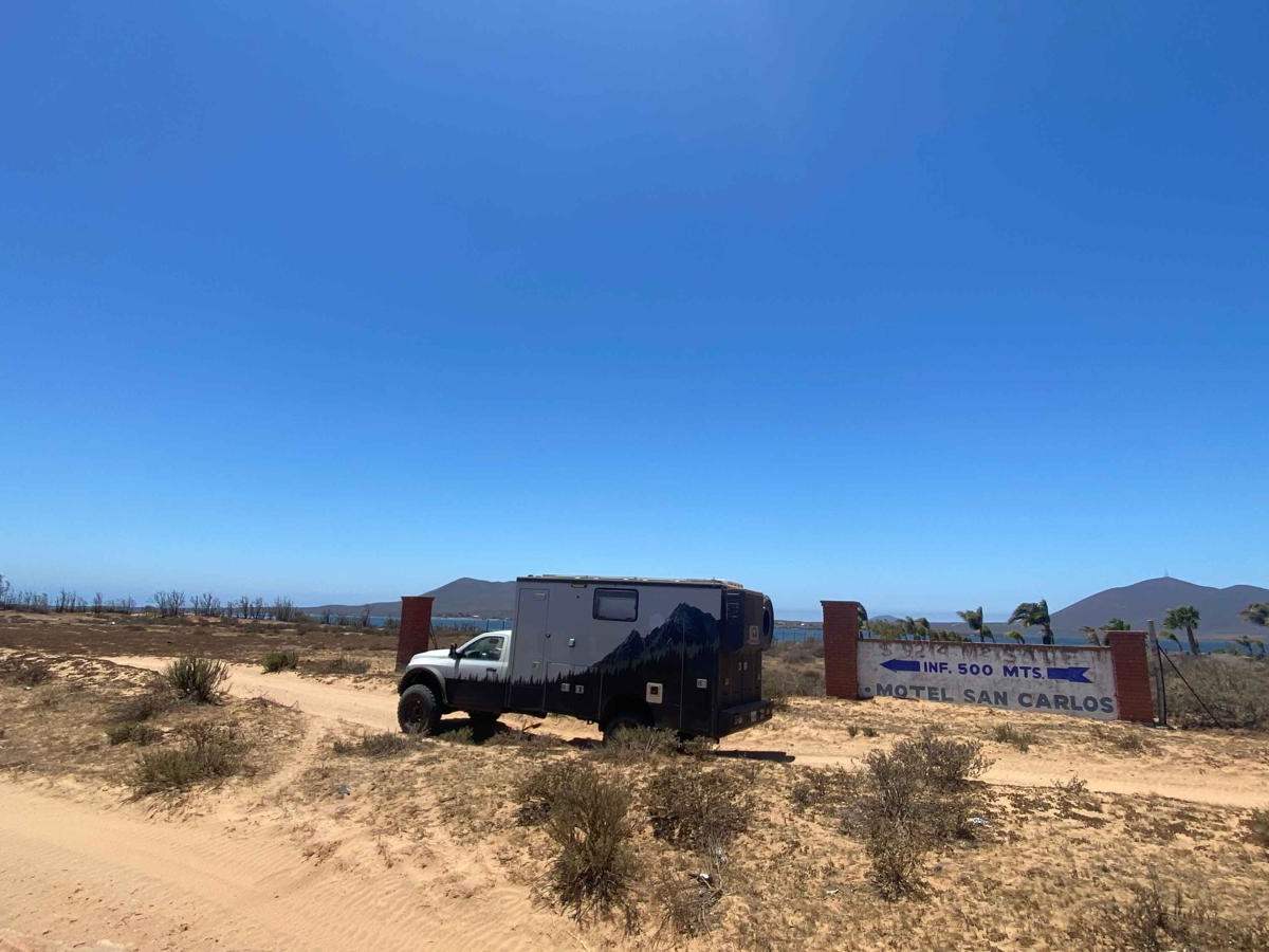
Trail Overview
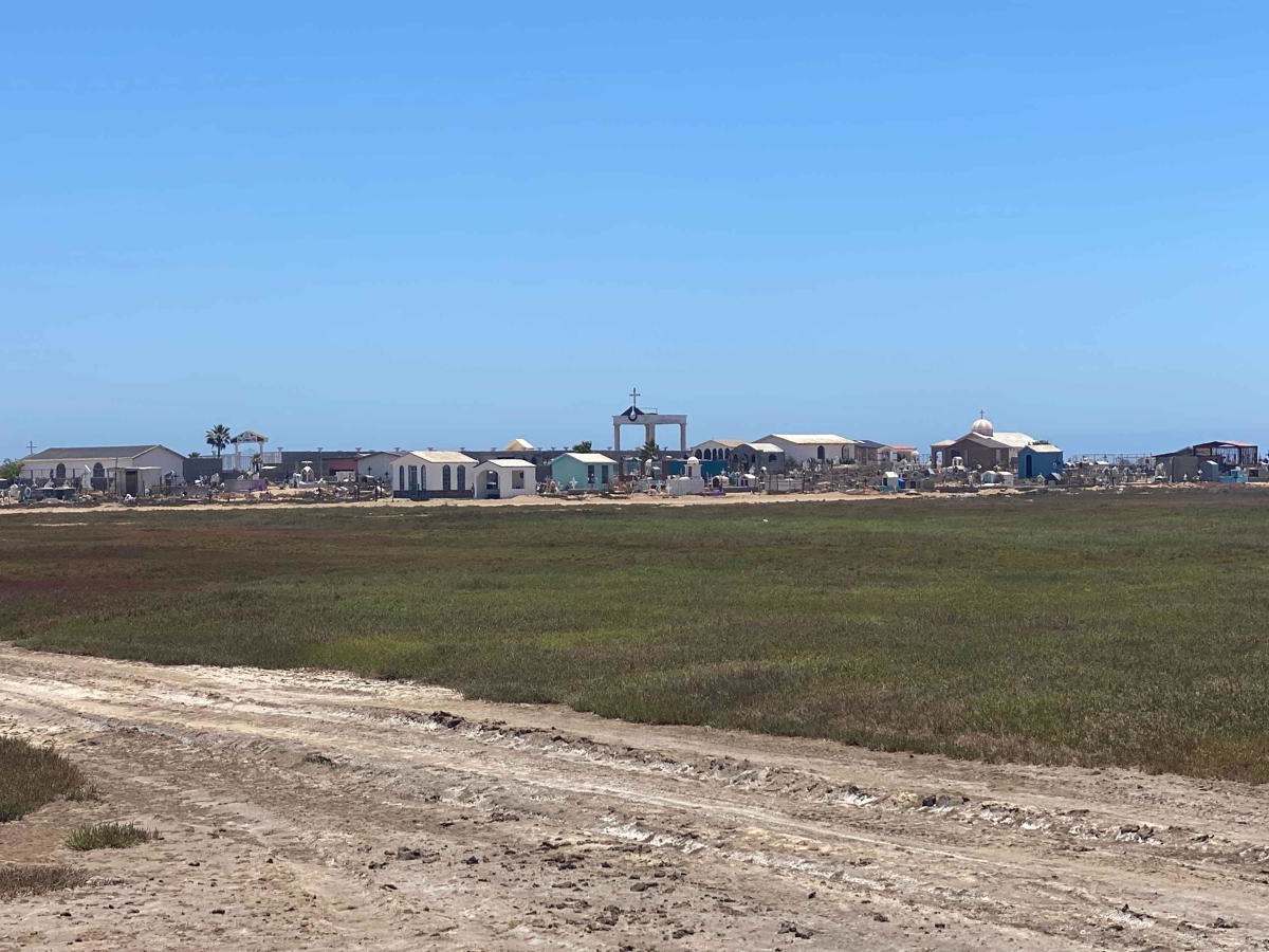
Starting from Ejido Chapala, this route traces the closest passable contour along the backside of Bahia San Quintin. Along the way, you may encounter various reptiles, unique bird species, and possibly snakes. Initially, for about 15-20 minutes, the trail will consist of mostly hard-packed terrain, which was once part of a Baja race route. Expect continuous wave-like whoops until you reach the Fish Taco place, where you'll cross a paved road leading to Campo Lorenzo Sky Park and Don Eddies on the right. Once past this point, the trail quickly transitions into the sand, and as you progress, the sand becomes progressively deeper. It's advisable to have a 4x4 vehicle and be prepared to lower your tire pressure (air down) to navigate this section effectively. After passing the old San Carlos Pier, a recommended lunch stop, you'll make a left turn, moving closer to the wetlands. While the region should generally be dry, except during the rainy season, be cautious of any wet areas. Upon reaching the English Cemetery, you can opt to exit the route to the left to avoid the deepest sand, minimizing the risk of vehicle damage (pinstriping). Continuing on, remain vigilant about the sand depth and the possibility of encountering wet spots. Missing the next 90-degree left turn could lead you down a road that terminates at the water, making it challenging to reverse out. From there, you'll navigate through dense brush and eventually encounter another 90-degree left turn, leading you into a wash. The most challenging section of sand lies within the last half-mile before reaching the bridge, so maintaining an adequate speed is crucial for a smoother ride.