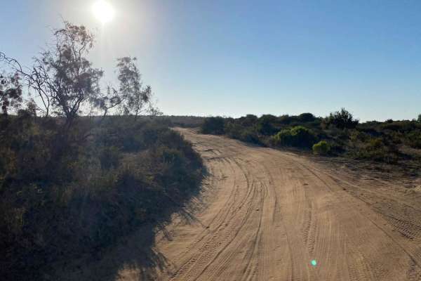
Trail Overview
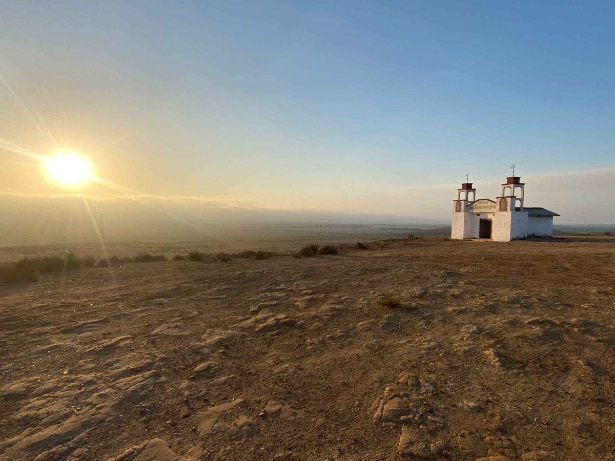
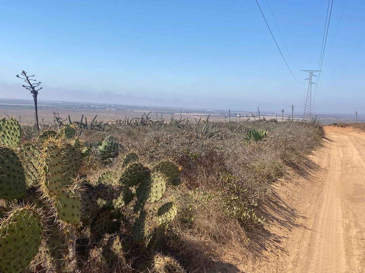
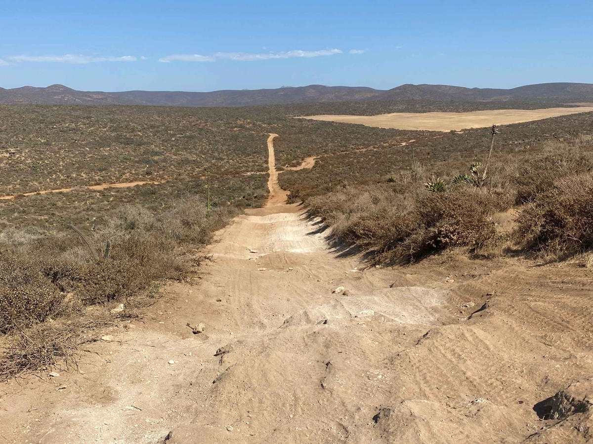
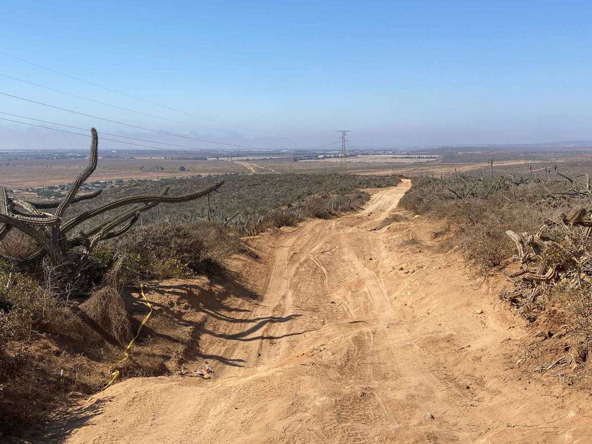
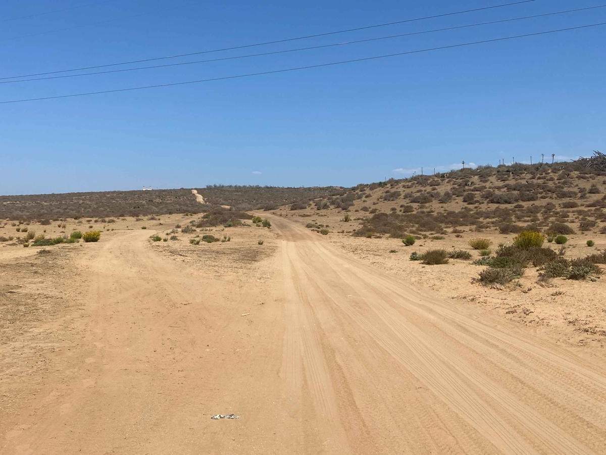
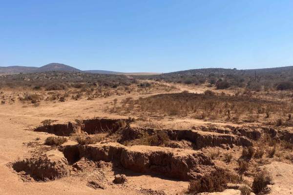
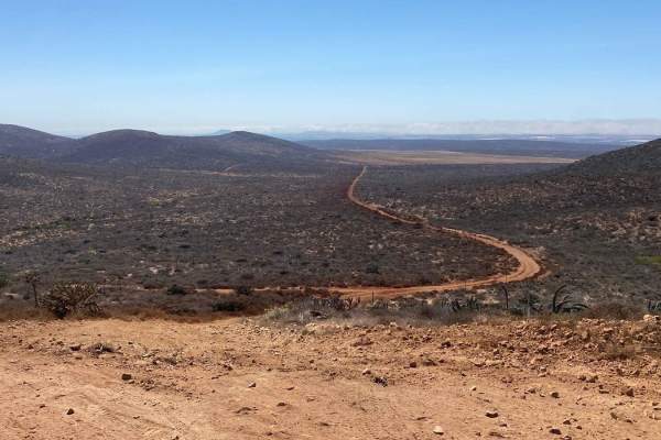
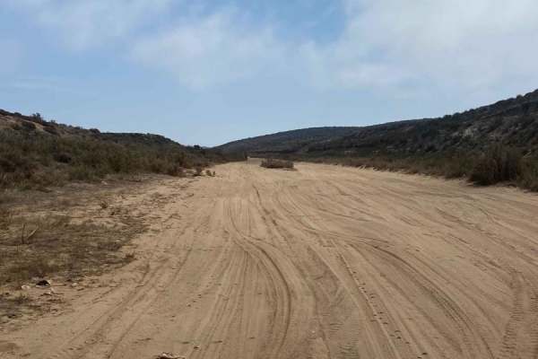
After leaving the paved road, it gradually transitions into dirt, marking the start of this trail. You'll wind through a small, remote neighborhood before reaching open land with flat spots ideal for camping on the left. The trail begins with a gentle climb, offering a view of a tiny church perched on a hill to the left. Soon, you'll reach an intersection where you'll turn right, heading south. This section introduces more challenging terrain, as it serves as a race track for the Record 200, leading to stretches of deep silt--akin to dry quicksand--and some deep ruts that require careful navigation. You'll also need to watch out for cactus encroaching onto the road in certain areas. After navigating these obstacles, the trail descends into a wash before connecting with the Sleeping Bag Trail.
Difficulty
This trail features a few short, steep grades that demand careful maneuvering around deep ruts and silt sections, but overall, it's a straightforward and enjoyable route that's not too remote. However, the trail is stripped of dirt along the southern traverse and there are sharp rocks to contend with. Do exercise caution near the power line poles, as it's easy to misjudge and accidentally scrape a Jeep or full-size vehicle against the structure, potentially causing body damage if you try to pass through.