
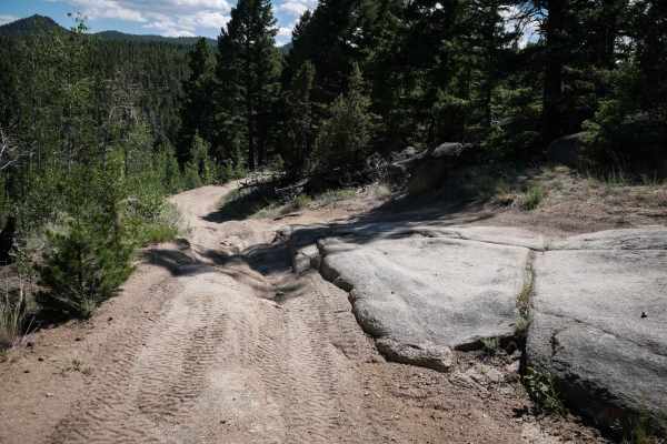
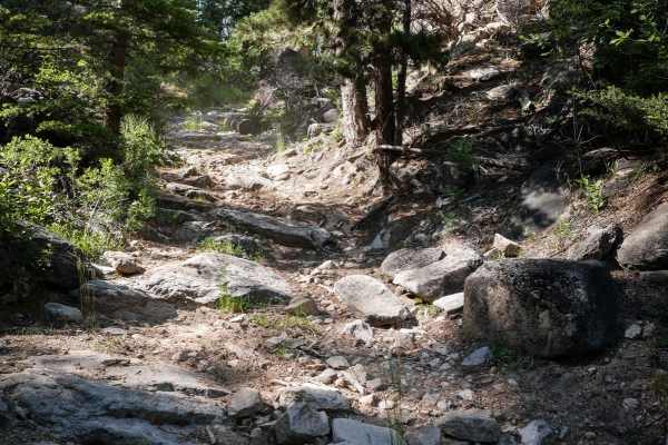
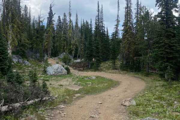
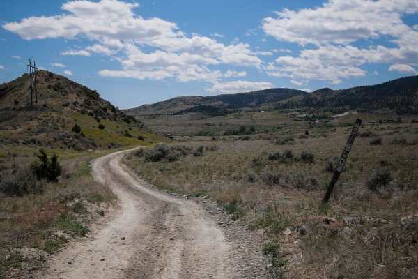
Off-Road Trails
Near Glen, Montana
Off-Road Trails Near Glen, Montana
Discover the best offroad trails near you. Browse trail maps, check difficulty ratings, and find your next adventure — whether you're looking for a quick ride or an all-day expedition.
Canyon Creek - Quartz Hill
This route will take you through Vipond Park, a subalpine meadow. The southern approach to the meadow is a very steep single-lane road with limited turnouts, do not bring a trailer on this side. This route includes Glendale and the kilns that supplied it with charcoal.
Learn more about Canyon Creek - Quartz Hill
Brazil Ridge
This is a very steep climb through the trees that's very cramped in some areas. It has great views at the top, and when the cattle have been moved into that lot, there will be quite a few roaming. Cow patties are everywhere and the views are gorgeous at the top. The entire valley is in sight when at...
Learn more about Brazil Ridge
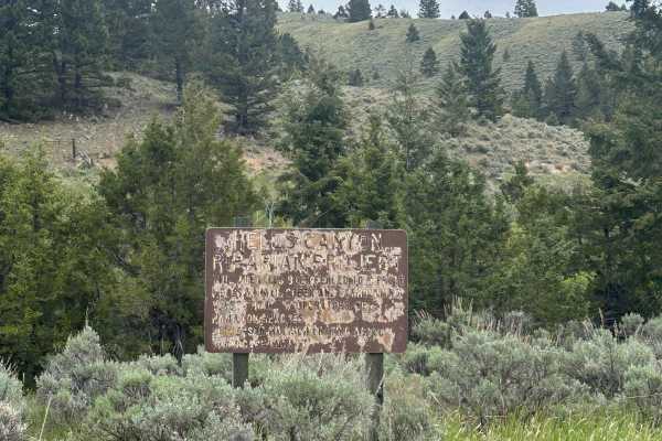
Devil's Canyon
A popular fishing spot at the beginning of the road, it passes through many private plots of land and leads into National Forest and BLM land. There are a couple of camping spots along the trail and it's popular among locals. The road starts and ends along Devils Canyon Creek. The end of the road be...
Learn more about Devil's Canyon

Point of Jefferson River Loop
This mostly dirt loop trail takes you from the downtown of Whitehall into the countryside and drives along the Jefferson River. There are several spots along the trail that have excellent views of the river from above. Most of the land along this trail is private, but there is a small square of BLM ...
Learn more about Point of Jefferson River Loop
German Gulch
Double track 50" ATV and motorcycle trail. Awesome flowing trail that is a little rocky at first but incredible later on. Watch for trail closures as you will be near the continental divide trail system. Parking is easy but no unload ramp is available, just a small raised ground area.
Learn more about German Gulch
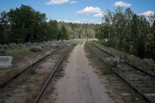
Homestake
The Homestake ATV trail goes west to east for 1.3 miles between 2 sections of Delmoe Lake Road. You can stage at the Homestake trailhead off of Delmoe Lake Road. The entrance to the trail is unmarked, but it starts at the old railroad tracks to the right of the road. It follows the old train tracks ...
Learn more about Homestake
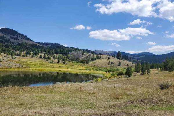
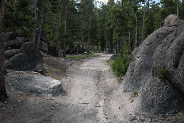
Granite Lake
Fairly easy trail with some great views. Trail got narrow in some spots from freshly cut trees. Some quick switchbacks could be challenging in a longer wheelbase. Not a lot of traffic on the trail and obstacles were mostly the rutted dirt trail. Some loose rocks but nothing to worry about.
Learn more about Granite Lake
WP862
WP862 is a 1.6-mile long loop off of Delmoe Lake Road. This is a popular ATV riding area, and many dispersed campsites can be found on Delmoe Lake Road near this trail. The trail is made of dirt and decomposed granite with embedded flat surfaces of granite rock but is overall pretty smooth. It goes ...
Learn more about WP862
WP231
WP231 starts from the south end as an easy ATV trail, winding through a pine tree forest on a grassy overgrown two-track. The beginning has some ruts, but it starts to get rockier as it goes north. There are some embedded bumpy rocks on the surface of the trail. Then the embedded rock turns into bou...
Learn more about WP231
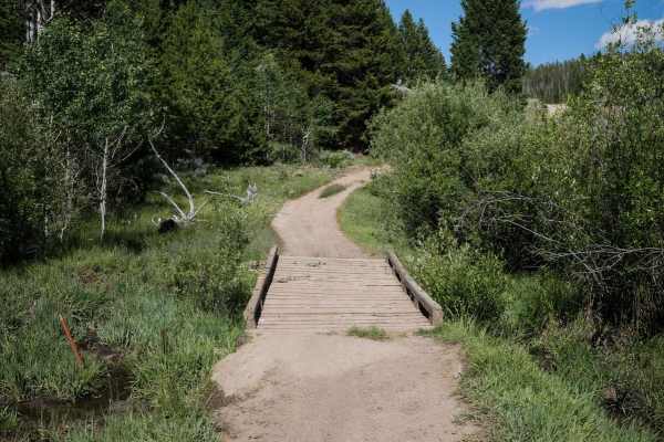
7268
This is a 1 mile ATV trail through the Deerlodge National Forest in the Pipestone OHV area. Two boulders lining the trail at the west entrance prevent full-width vehicles from entering, but it continues as a road-width dirt trail through the forest and connects to another road. It goes over a wooden...
Learn more about 7268
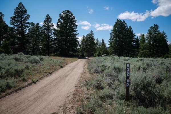
832 WP
This is a 1.4-mile long 50" trail that follows some powerlines through the Pipestone OHV area in the Deerlodge National Forest. The west end is accessed off of Delmoe Lake Road at a rock pinch point, and there is dispersed camping nearby all along Delmoe Lake Road. The trail has moderate obstacles, ...
Learn more about 832 WP
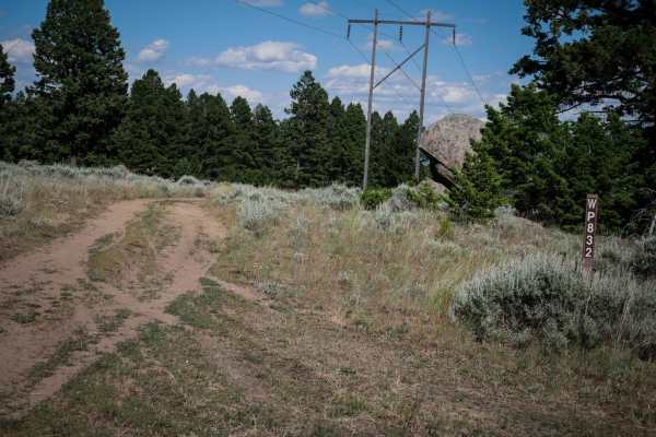
WP832
This is a 1.4-mile-long ATV trail that goes west to east underneath a power. It goes through a gate for an active grazing area, and you must close the gates behind you. The trail is straightforward, with many gradual curves and a gradual downhill descent from west to east. It's a dirt surface covere...
Learn more about WP832
Tobacco Gold Pass
This old mining road off Granite Lake Road features granite faces and expansive views of the Tobacco Root Mountains. The surface is dirt and stretches of loose rock, generally passable in dry conditions. A few pull-offs provide dispersed camping opportunities. The trail ends at a saddle that marks t...
Learn more about Tobacco Gold Pass
Canyon ATV Trail
This is an unmarked trail for vehicles 50" or less. The east end starts off of WP832, another 50" trail. It's an easy two track in a low alpine terrain, below pine trees. The trail is dirt, covered in pea gravel, with some embedded granite rock surfaces, uneven and curvy. It traverses a hillside thr...
Learn more about Canyon ATV Trail
Barton Gulch and Offshoots
Beautiful trail with awesome views. Easy trail that gets narrow in spots and had some low hanging fallen trees that could be an issue if you don't want scratches in your paint. Stock 4x4s won't have a problem. Gravelly range is closed during the winter so summer time or late spring is the best time ...
Learn more about Barton Gulch and Offshoots
Lion Gulch
Lion Gulch is a harder ATV trail in the Pipestone OHV system that connects with WP231 and is accessed off of Delmoe Lake Road from the Homestake Trailhead. It's unmarked at the entrances but does have a wooden bridge over a stream that is only wide enough for ATVs and dirt bikes. The trail is primit...
Learn more about Lion Gulch
Cliff Lake Trail
This is a very short trail to Cliff Lake at the top of the McKelvey Lake Trail and accessed from Mine Lake. Although short, the lake is absolutely worth seeing and the fishing is great. This trail looks wide enough for a rig or SxS but is a 50" ATV or dirt bike trail only!
Learn more about Cliff Lake Trail

BLM 20
Trail 20 is a technical dirt bike trail in the Pipestone Trail System near Butte Montana. It is the hardest single track in the area. It starts from the south end as super wide and whooped like a Jeep trail. It drops down a steep hill right away on pea gravel with embedded rocks, loose boulders, and...
Learn more about BLM 20
BLM 16 (Pipestone Exit Trail)
This is a 2.5-mile long trail designated for vehicles 50" or less. It departs from the Pipestone Trailhead, which is a large dirt staging area off of Delmoe Lake Road, north of Highway 90 at exit 241. It's mostly a wide dirt road covered in gravel and starts climbing up from the parking area as it g...
Learn more about BLM 16 (Pipestone Exit Trail)
Barton Gulch
The Barton Gulch trail is a scenic drive that runs across the northern reaches of the Gravelly Range in Montana. Explore its winding two-tracks, and you'll witness abandoned cabins nestled by babbling brooks, open meadows with mountain views, and rugged ridgeline climbs towards that famous big sky. ...
Learn more about Barton Gulch
ATV trails near Glen, Montana
Explore ATV-friendly trails near you. These trails are accessible for vehicles up to 50 inches wide, perfect for ATVs and smaller off-road machines.
Canyon Creek - Quartz Hill
This route will take you through Vipond Park, a subalpine meadow. The southern approach to the meadow is a very steep single-lane road with limited turnouts, do not bring a trailer on this side. This route includes Glendale and the kilns that supplied it with charcoal.
Learn more about Canyon Creek - Quartz Hill
Brazil Ridge
This is a very steep climb through the trees that's very cramped in some areas. It has great views at the top, and when the cattle have been moved into that lot, there will be quite a few roaming. Cow patties are everywhere and the views are gorgeous at the top. The entire valley is in sight when at...
Learn more about Brazil Ridge
Devil's Canyon
A popular fishing spot at the beginning of the road, it passes through many private plots of land and leads into National Forest and BLM land. There are a couple of camping spots along the trail and it's popular among locals. The road starts and ends along Devils Canyon Creek. The end of the road be...
Learn more about Devil's Canyon
German Gulch
Double track 50" ATV and motorcycle trail. Awesome flowing trail that is a little rocky at first but incredible later on. Watch for trail closures as you will be near the continental divide trail system. Parking is easy but no unload ramp is available, just a small raised ground area.
Learn more about German Gulch
UTV/side-by-side trails near Glen, Montana
Find UTV and side-by-side trails near you. These trails accommodate vehicles up to 60 inches wide, ideal for UTVs, side-by-sides, and wider off-road rigs.
Canyon Creek - Quartz Hill
This route will take you through Vipond Park, a subalpine meadow. The southern approach to the meadow is a very steep single-lane road with limited turnouts, do not bring a trailer on this side. This route includes Glendale and the kilns that supplied it with charcoal.
Learn more about Canyon Creek - Quartz Hill
Brazil Ridge
This is a very steep climb through the trees that's very cramped in some areas. It has great views at the top, and when the cattle have been moved into that lot, there will be quite a few roaming. Cow patties are everywhere and the views are gorgeous at the top. The entire valley is in sight when at...
Learn more about Brazil Ridge
Devil's Canyon
A popular fishing spot at the beginning of the road, it passes through many private plots of land and leads into National Forest and BLM land. There are a couple of camping spots along the trail and it's popular among locals. The road starts and ends along Devils Canyon Creek. The end of the road be...
Learn more about Devil's Canyon
Granite Lake
Fairly easy trail with some great views. Trail got narrow in some spots from freshly cut trees. Some quick switchbacks could be challenging in a longer wheelbase. Not a lot of traffic on the trail and obstacles were mostly the rutted dirt trail. Some loose rocks but nothing to worry about.
Learn more about Granite Lake
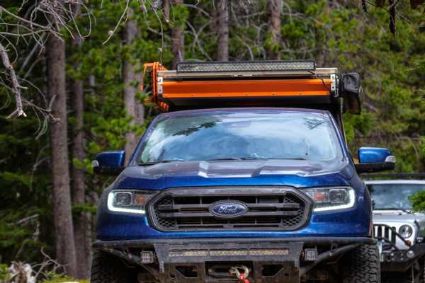
The onX Offroad Difference
onX Offroad combines trail photos, descriptions, difficulty ratings, width restrictions, seasonality, and more in a user-friendly interface. Available on all devices, with offline access and full compatibility with CarPlay and Android Auto. Discover what you're missing today!
Open Trail Map