Trail Overview
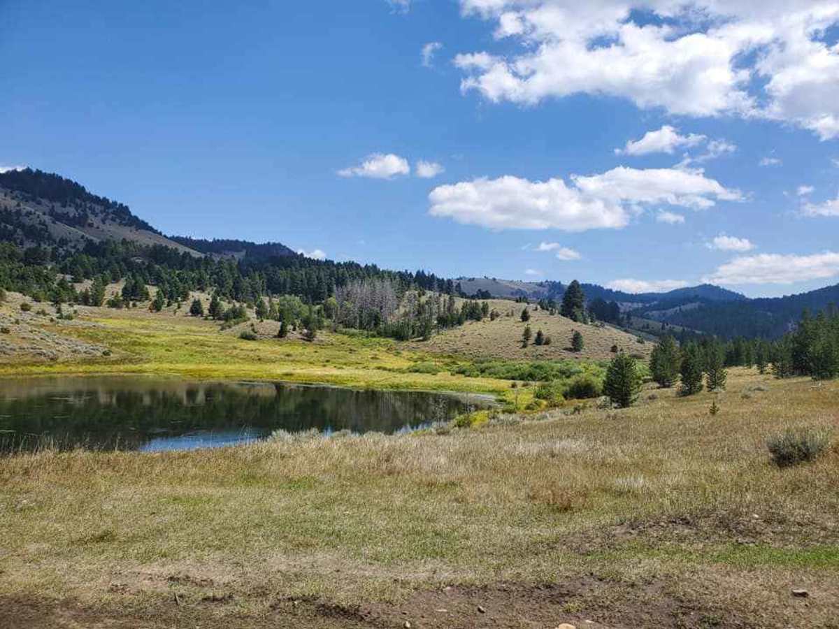
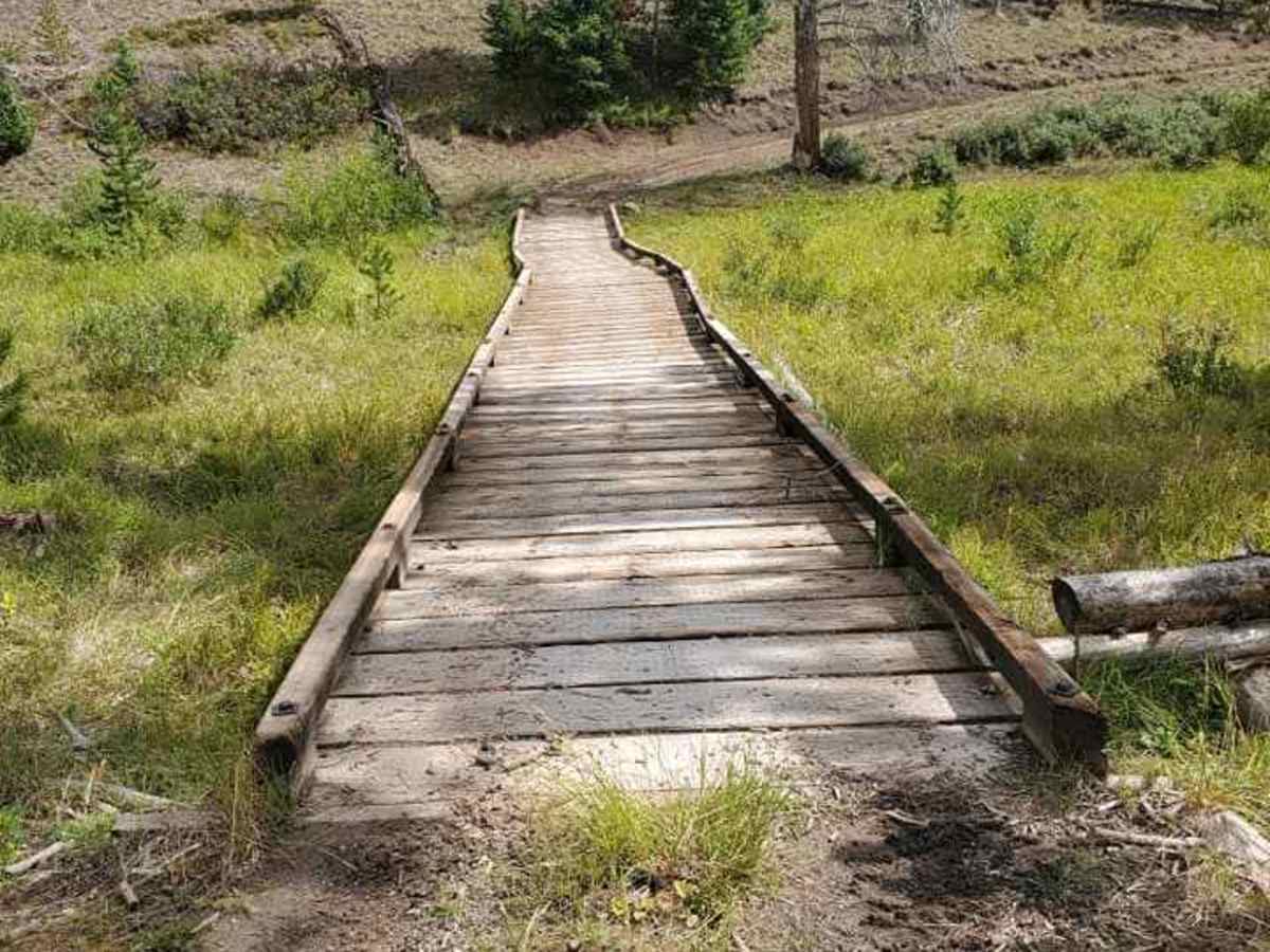
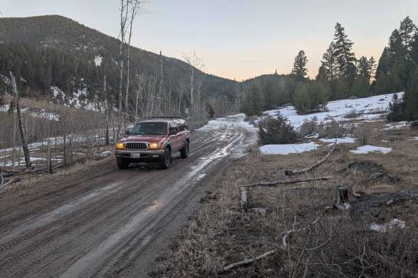
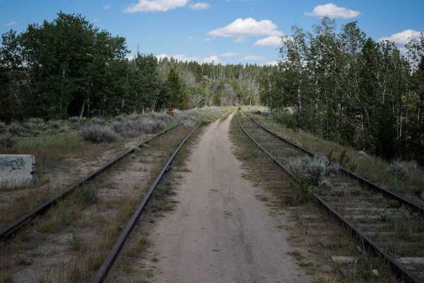
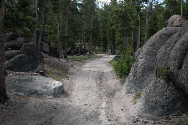
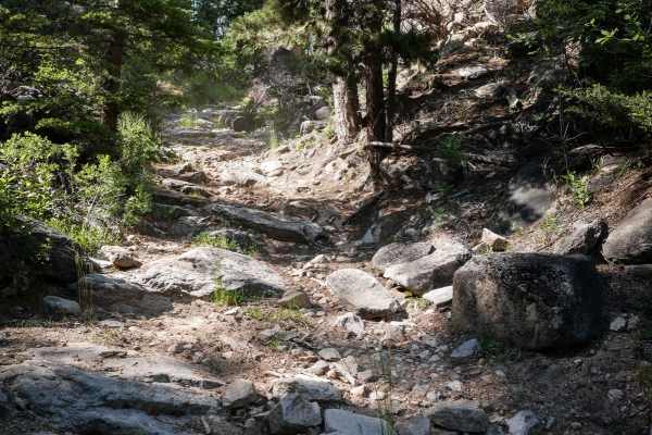
German Gulch is a moderately challenging 14-mile double-track trail designed specifically for 50-inch ATVs and motorcycles, offering riders an exciting mix of rocky climbs and fast, flowing sections near the Continental Divide. Starting at an elevation of approximately 5,500 feet, the route winds its way up through the Beaverhead-Deerlodge National Forest, climbing over 2,400 feet to reach a maximum elevation of 7,600 feet near Beals Hill. The initial stretch of the trail features a loose, rocky surface that demands careful line choice and steady throttle control, making it ideal for intermediate to experienced riders. As the trail progresses, the terrain transitions into a highly rewarding, flowing series of curves, climbs, and descents that wind through dense pine forests and open ridges with expansive mountain views.
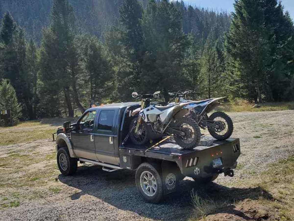
Accessing the trailhead is straightforward by heading toward Fairmont Hot Springs and turning onto German Gulch Road (Forest Road 83), where a small, raised ground area is available for unloading. Because this route borders the Continental Divide Trail system, offroaders must remain highly mindful of designated trail boundaries and watch for signs indicating seasonal or permanent closures. The route experiences significant elevation changes, with a cumulative gain of 2,424 feet, which can present changing weather conditions and slick dirt or mud when wet. Pack-in, pack-out rules apply, and riders should ensure their vehicles meet the 50-inch width restriction to safely navigate the tight gates and narrow corridors along this classic Montana backway.
History
German Gulch was the site of a major gold rush in the mid-1860s, attracting gold placer miners to this rugged area of southwestern Montana. The trail traverses portions of the Beaverhead-Deerlodge National Forest near the Continental Divide, a region with a rich history of mining and forestry.