Canyon Creek - Quartz Hill

Total Miles23.1
Technical Rating
3Easy
Best TimeSummer, Fall
Trail TypeFull-Width Road
Accessible By
Open Trail Map

Trail Overview

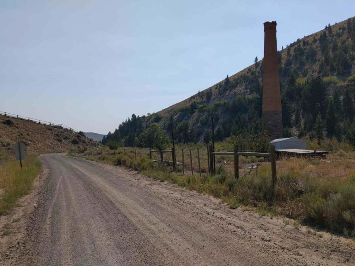
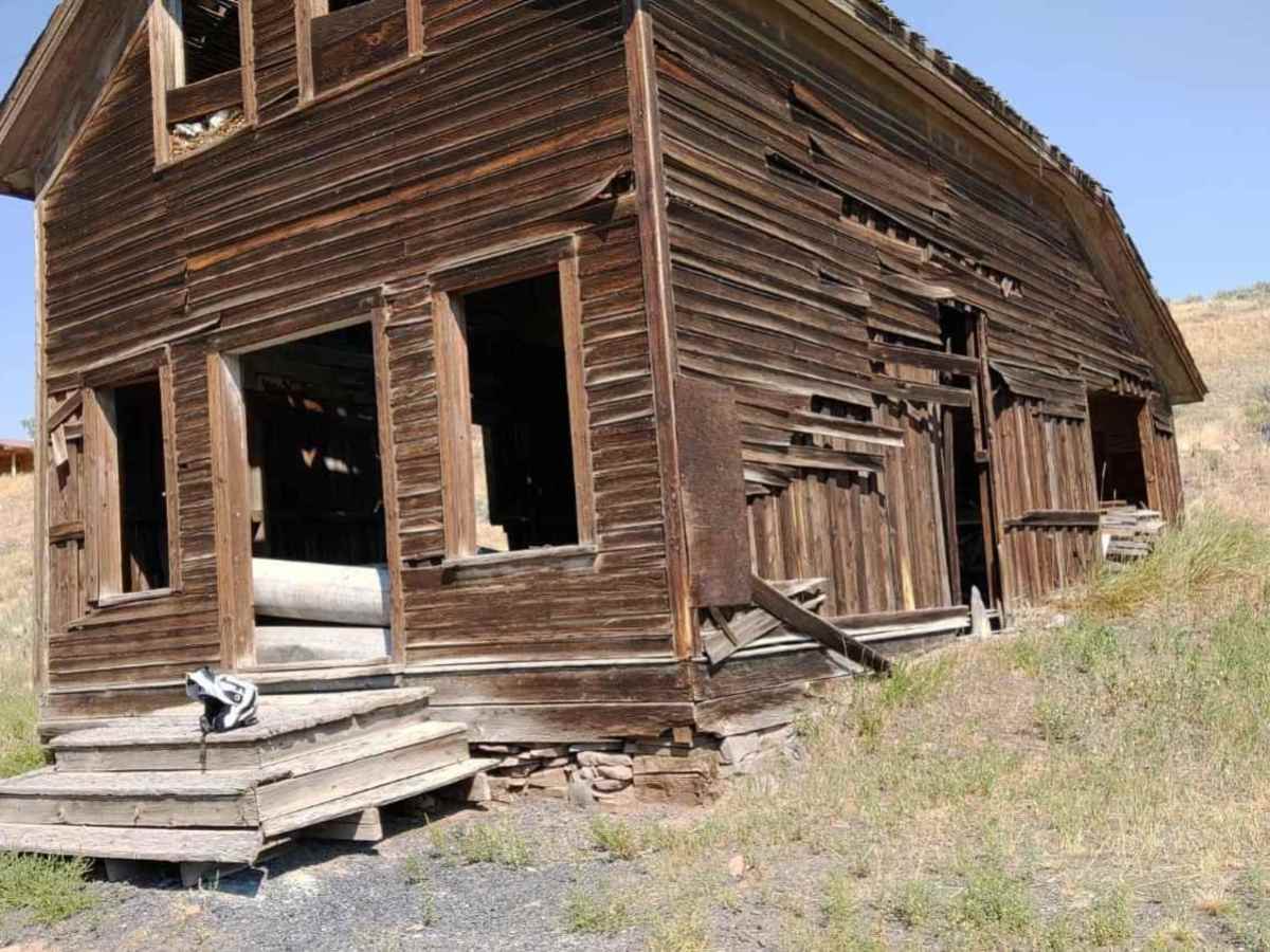
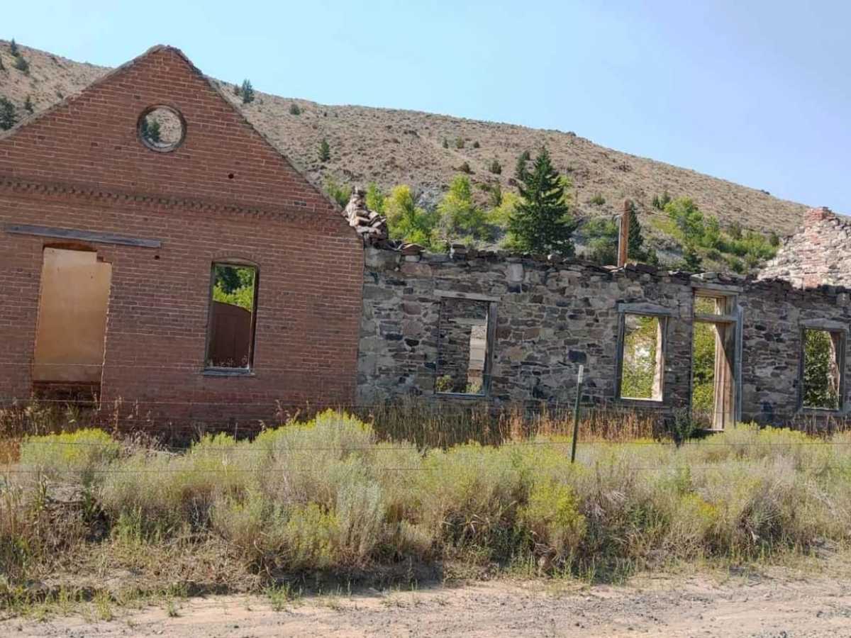
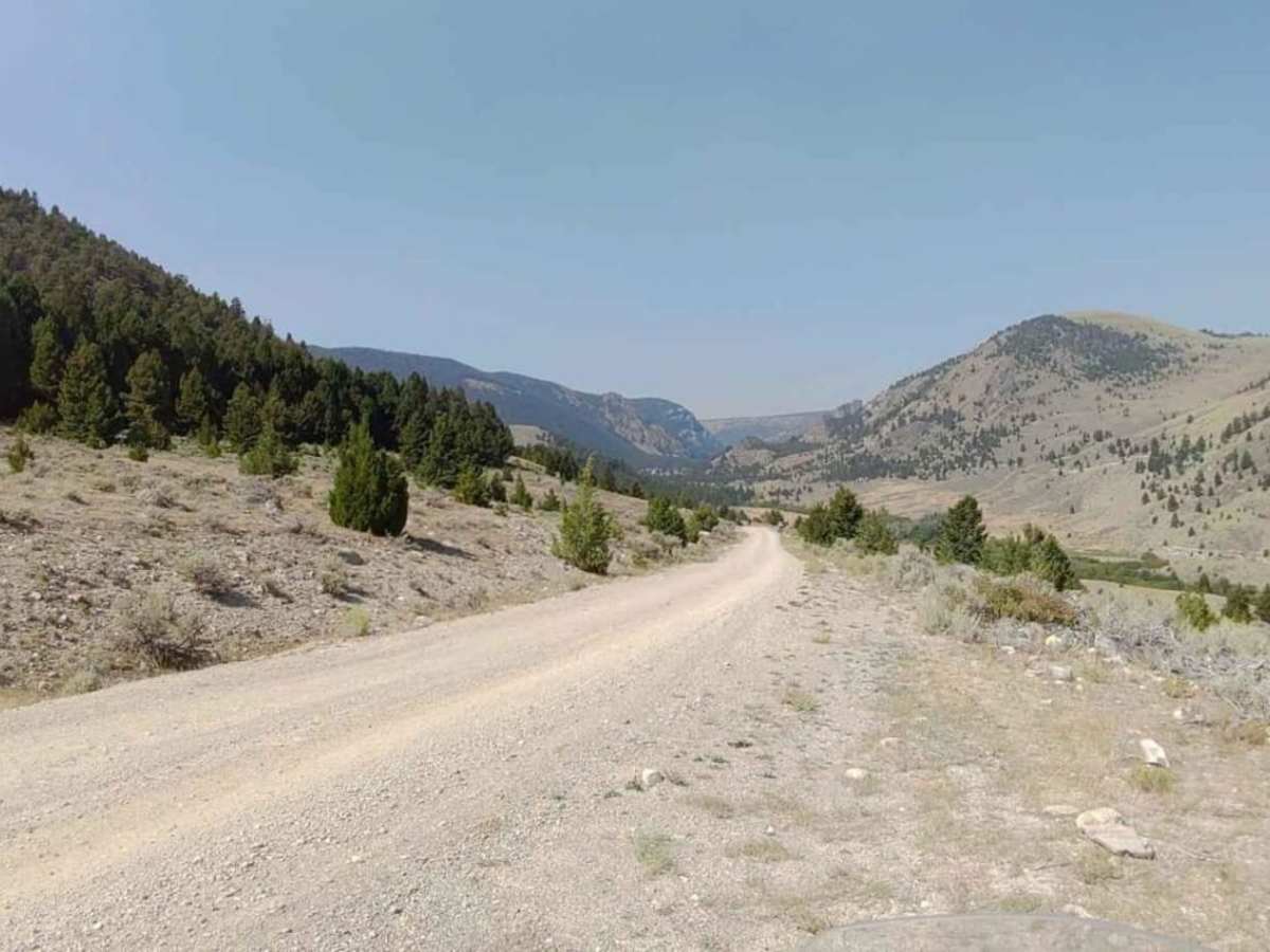
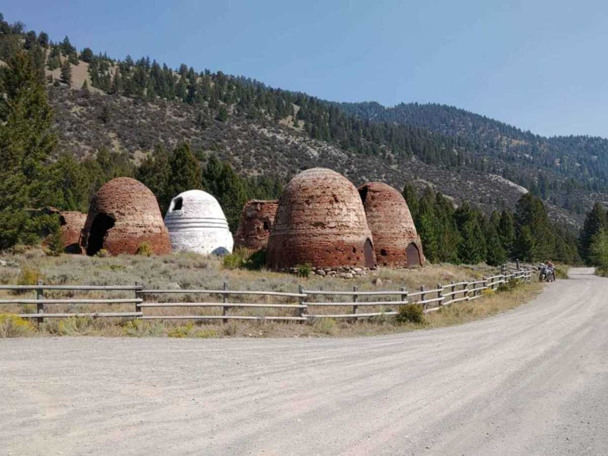
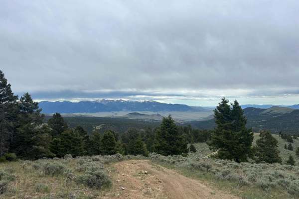
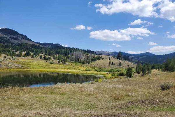
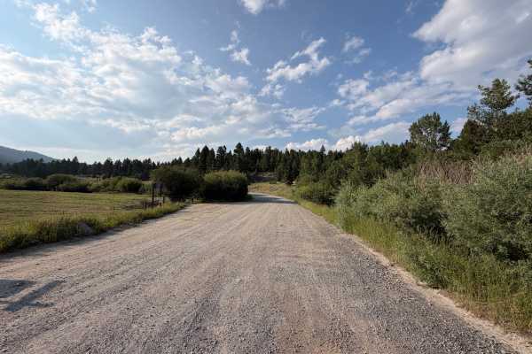
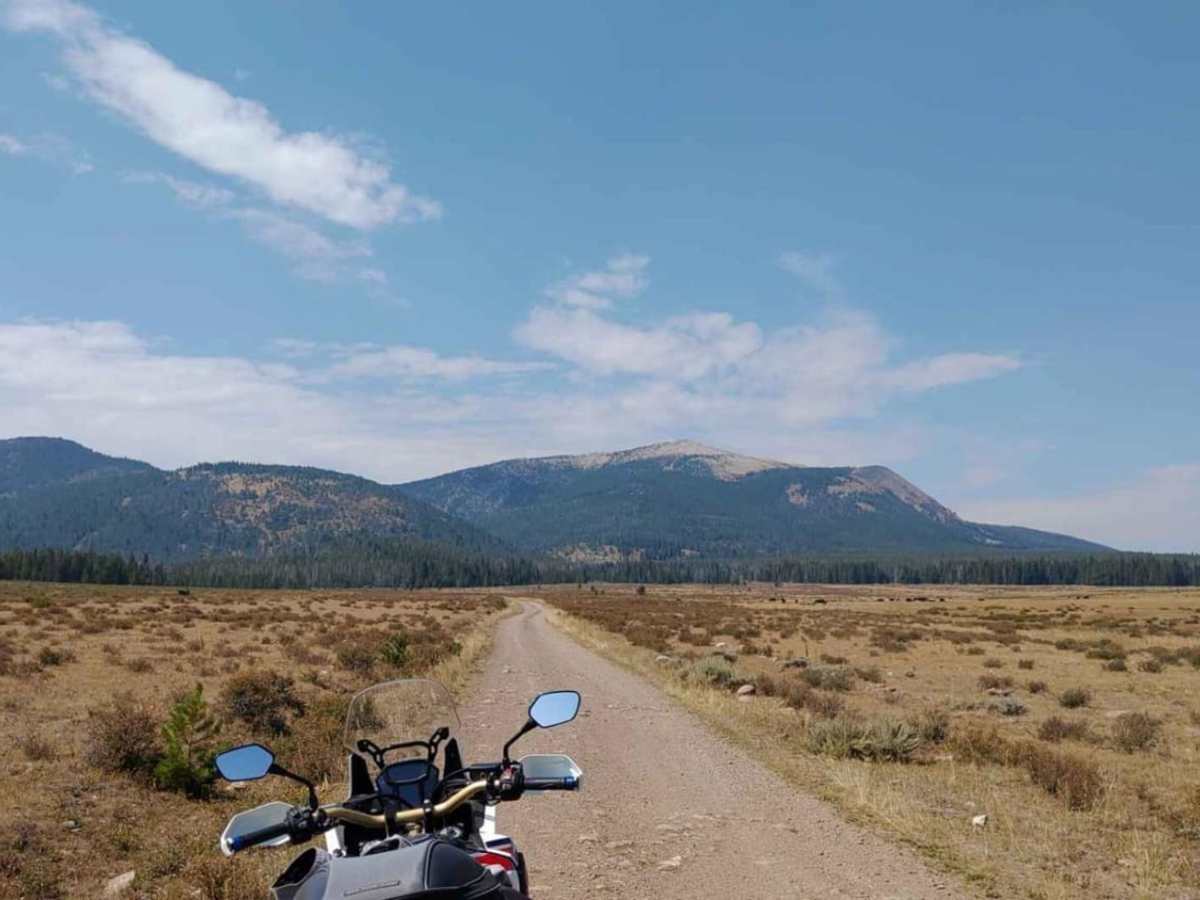
Canyon Creek - Quartz Hill is an incredibly scenic twenty-three-mile point-to-point offroad trail through the Pioneer Mountains, perfect for beginners and intermediate drivers seeking historic ruins and vast subalpine meadows. Starting near Highway 43 in the north or Interstate 15 to the southeast, this moderately rated trail climbs over 2,900 feet of cumulative elevation gain, reaching a peak altitude of 8,234 feet. The northern section winds through dense forests along Canyon Creek before ascending into the sprawling, wildflower-rich subalpine meadow of Vipond Park. Four-wheel-drive vehicles with decent clearance, SxSs, and high-clearance SUVs can easily navigate the mostly unpaved dirt and gravel surfaces, though drivers must remain alert for changing weather conditions that can turn the trail muddy. As the route descends southward, it transitions into a very steep, narrow single-lane shelf road with highly limited turnouts, making trailers strictly prohibited on this half. This southern descent offers breathtaking, sweeping vistas of the surrounding peaks and valleys before passing the historic townsite of Glendale and its famous charcoal kilns, which historically supplied the local smelter. The trail finishes near Melrose, making it an excellent day-trip option with opportunities for dispersed camping and exploring remnants of Montana's rich mining heritage. Be sure to check local forest service regulations for seasonal gate closures, especially during late autumn and winter when heavy snow renders the high-altitude pass impassable.

Photos of Canyon Creek - Quartz Hill

Difficulty

The southern side of the route is steep and narrow.

Technical Rating

3

Status Reports

Add Status Report
Autumn howatt
Jul 04, 2026
2023 Ford Bronco
Open
NormalDusty
Started at Dewey and ended in Melrose. Some spots with shallow puddles and some small, rough rocky areas on downhills. Was in 2WD the whole time so nothing crazy
Josh Taylor
Jun 06, 2026
Open
Normal
Road was in great shape. Lots of camapers on Dewey Side. Lots of side by sides on Melrose side.
Brodie Bergeson
May 25, 2025
2023 Ford Bronco
Open
NormalMuddy/WetSnow/IceRough/Deteriorated
An absolutely gorgeous 70° Sunday and hardly any traffic on the journey. It did get busier the north 3mi of the road. Encountered a small 400yd stretch of snow-mud and is navigable just go slow and maintain control. Otherwise bare and dry 98% of the journey. I am excited to return to some dispersed camping spots I noted.
Rahn Abbott
Sep 29, 2024
2024 Suzuki DR650S
Open
NormalDusty
I left from Melrose and went to Glendale. From there ride to the kilns and then over Vipond Park to Dewy. It was dry and dusty. I think there was one small mud puddle. Beautiful fall colors. Only a couple other cars and one RZR. Some steep rocky inclines. Not suitable for trailers or low clearance vehicles.
Richard Nostrand
Jul 11, 2024
Open
DustyWashboard
We started from Rt 43 in Dewey. Trail from 43 to Charcoal Kilns is rocky and steep and narrow in sections, so slow going. Nothing technical. After the kilns just a dusty dirt road.
Jason M
May 12, 2024
Open
Normal
Dry. Slow for heavy trucks. Mostly ATV's on the trail. Some steep drops-offs
Ross Carlson
Oct 20, 2023
1998 Toyota 4Runner
Open
DustyRough/DeterioratedWashboard
I drove this from Melrose to Hwy 43. The road was 2 lanes up until the top of the subalpine meadow, then 1 lane to the highway. Very dusty on the Melrose end, almost chalky fine moon dust. Saw 3 other parties out on the trail.
Dave Oliverson
Sep 04, 2023
Open
Muddy/WetDusty

Canyon Creek - Quartz Hill Trail can be accessed by the following ride types:

  • Single Track
  • 50 Inch
  • 60 Inch
  • High Clearance
  • Full Width

Canyon Creek - Quartz Hill Map

The onX Offroad Difference

onX Offroad combines trail photos, descriptions, difficulty ratings, width restrictions, seasonality, and more in a user-friendly interface. Available on all devices, with offline access and full compatibility with CarPlay and Android Auto. Discover what you're missing today!

Open Trail Map