
Dirt Bike Trails
Near Waverly Hall, Georgia
Explore All Dirt Bike Trails Near Waverly Hall, Georgia
Dirt Bike Trails Near Waverly Hall, Georgia
Discover the best dirt bike trails near you. Browse trail maps, check difficulty ratings, and find your next adventure — whether you're looking for a quick ride or an all-day expedition.
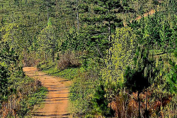
Alexander Ridge Trail
This mostly gravel with packed dirt single trail winds 4.4 miles in-and-back through Sprewell Bluff WMA across rolling ridges and foothills near the Flint River. Expect steep climbs, sharp descents, ruts, wash-outs, and loose rocky terrain. Scenic vistas reward the effort, with the landscape changin...
Learn more about Alexander Ridge Trail
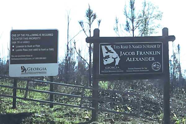
Alexander Hollow Trail
Alexander Hollow Trail in the Jacob Franklin Alexander tract of Sprewell Bluff Wildlife Management Area follows a canopy below the ridgeline in the scenic foothills. This 2.5-mile out-and-back gravel and dirt route has little rutting and washouts along the route, with some ridge grass growth along t...
Learn more about Alexander Hollow Trail
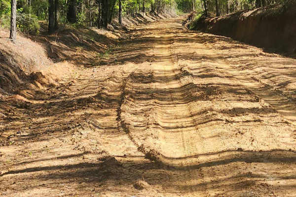
Tatum Road Trail
This 6.3‑mile through‑trail winds through timberland, hunting areas, and to hunting camps bordering the Hannahatchee Creek WMA. Packed red clay and sandy silt create ever‑changing terrain, easily rutted after rain. Scenic vistas near the Georgia foothills offer stunning views, while use, seasonal, a...
Learn more about Tatum Road Trail
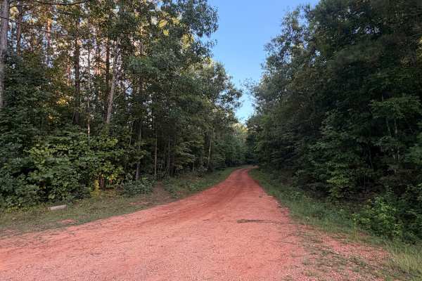
Turkey Trail
Turkey Trail is a dirt and red-clay backroad winding through the wooded countryside near Reeltown, Alabama. The route features rolling terrain, occasional ruts, small muddy sections, and a mix of hard-packed clay and gravel. Conditions are generally suitable for most vehicles when dry, although the ...
Learn more about Turkey Trail
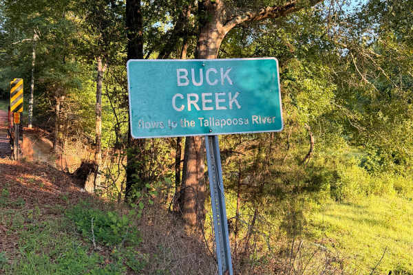
Buck Creek Road
Buck Creek Road is a short, easy backroad near Reeltown that travels through a quiet wooded area on a mix of red clay, dirt, and gravel. The route features rolling hills, minor erosion and ruts, and a single-lane wooden bridge crossing Buck Creek. Dispersed camping is available along the route, maki...
Learn more about Buck Creek Road
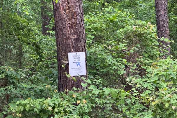
Five Points Road
Five Points Road is an east-west county road traversing through the midsection of the Piedmont NWR. It is a well-maintained, packed clay surface, two lanes wide for easy travel. There are about a dozen side roads that have been gated off and are marked for foot travel only. These side roads provide ...
Learn more about Five Points Road
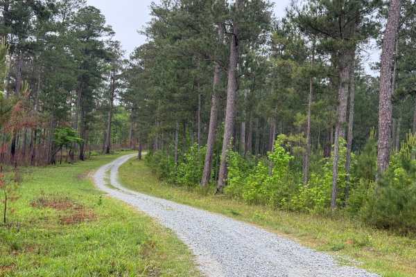
5 Points Lake North Access
5 Points Lake North Access road is a short, single-lane, wide, graveled roadway in the Piedmont NWR. It leads from Five Points Road down to Five Points Lake from the north side of the lake. It is one of two access roads to the lake, the other being the 5 Points Lake East Access. The road is well-mai...
Learn more about 5 Points Lake North Access
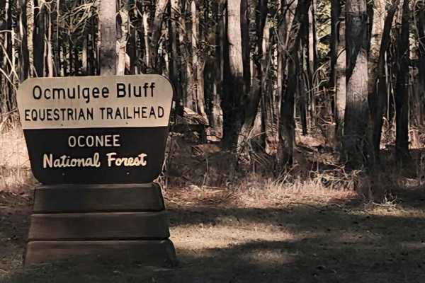
Saddler's Path
This beginner-friendly, two-way, through connector trail winds through a quiet equestrian corridor of gravel, sand, and packed dirt. Conditions are generally easy but can become slick and washed after rain, so steady driving is recommended. This trail runs through the Oconee National Forest and pass...
Learn more about Saddler's Path
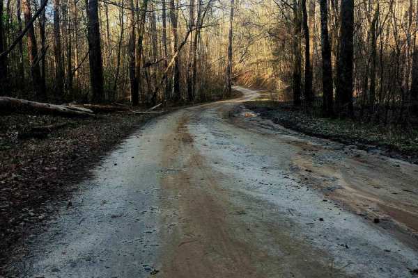
Upper Pope Trail
Wind through Oconee National Forest on this beginner-friendly trail that delivers terrain rarely found in the area. Rolling inclines, dips, and winding stretches reveal scenic ridge views as the route shifts between gravel, sand, and scattered rock shelves and can become slick after rain. Evidence ...
Learn more about Upper Pope Trail
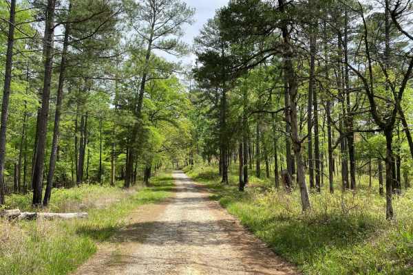
Hitchiti
Hitchiti is a well-maintained gravel trail. There's a bridge over scenic Falling Creek just after you pass through the gate. The trail then winds through an experimental demonstration area, mostly pines, where the US Forest Service evaluates various methods for sustaining and managing forests. The t...
Learn more about Hitchiti
ATV trails near Waverly Hall, Georgia
Explore ATV-friendly trails near you. These trails are accessible for vehicles up to 50 inches wide, perfect for ATVs and smaller off-road machines.
Alexander Ridge Trail
This mostly gravel with packed dirt single trail winds 4.4 miles in-and-back through Sprewell Bluff WMA across rolling ridges and foothills near the Flint River. Expect steep climbs, sharp descents, ruts, wash-outs, and loose rocky terrain. Scenic vistas reward the effort, with the landscape changin...
Learn more about Alexander Ridge Trail
Alexander Hollow Trail
Alexander Hollow Trail in the Jacob Franklin Alexander tract of Sprewell Bluff Wildlife Management Area follows a canopy below the ridgeline in the scenic foothills. This 2.5-mile out-and-back gravel and dirt route has little rutting and washouts along the route, with some ridge grass growth along t...
Learn more about Alexander Hollow Trail
Tatum Road Trail
This 6.3‑mile through‑trail winds through timberland, hunting areas, and to hunting camps bordering the Hannahatchee Creek WMA. Packed red clay and sandy silt create ever‑changing terrain, easily rutted after rain. Scenic vistas near the Georgia foothills offer stunning views, while use, seasonal, a...
Learn more about Tatum Road Trail
Turkey Trail
Turkey Trail is a dirt and red-clay backroad winding through the wooded countryside near Reeltown, Alabama. The route features rolling terrain, occasional ruts, small muddy sections, and a mix of hard-packed clay and gravel. Conditions are generally suitable for most vehicles when dry, although the ...
Learn more about Turkey Trail
UTV/side-by-side trails near Waverly Hall, Georgia
Find UTV and side-by-side trails near you. These trails accommodate vehicles up to 60 inches wide, ideal for UTVs, side-by-sides, and wider off-road rigs.
Alexander Ridge Trail
This mostly gravel with packed dirt single trail winds 4.4 miles in-and-back through Sprewell Bluff WMA across rolling ridges and foothills near the Flint River. Expect steep climbs, sharp descents, ruts, wash-outs, and loose rocky terrain. Scenic vistas reward the effort, with the landscape changin...
Learn more about Alexander Ridge Trail
Alexander Hollow Trail
Alexander Hollow Trail in the Jacob Franklin Alexander tract of Sprewell Bluff Wildlife Management Area follows a canopy below the ridgeline in the scenic foothills. This 2.5-mile out-and-back gravel and dirt route has little rutting and washouts along the route, with some ridge grass growth along t...
Learn more about Alexander Hollow Trail
Tatum Road Trail
This 6.3‑mile through‑trail winds through timberland, hunting areas, and to hunting camps bordering the Hannahatchee Creek WMA. Packed red clay and sandy silt create ever‑changing terrain, easily rutted after rain. Scenic vistas near the Georgia foothills offer stunning views, while use, seasonal, a...
Learn more about Tatum Road Trail
Turkey Trail
Turkey Trail is a dirt and red-clay backroad winding through the wooded countryside near Reeltown, Alabama. The route features rolling terrain, occasional ruts, small muddy sections, and a mix of hard-packed clay and gravel. Conditions are generally suitable for most vehicles when dry, although the ...
Learn more about Turkey Trail
The onX Offroad Difference
onX Offroad combines trail photos, descriptions, difficulty ratings, width restrictions, seasonality, and more in a user-friendly interface. Available on all devices, with offline access and full compatibility with CarPlay and Android Auto. Discover what you're missing today!
Open Trail Map