Trail Overview
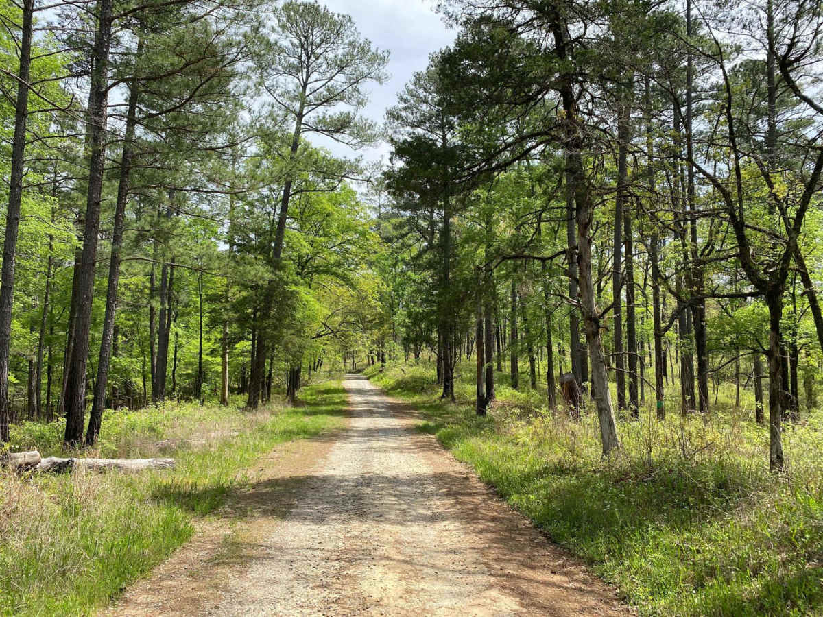
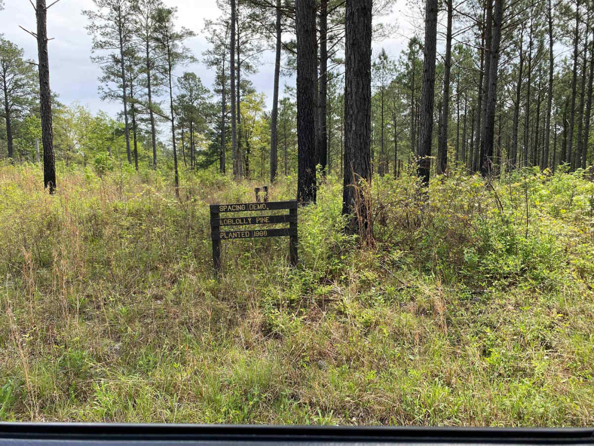
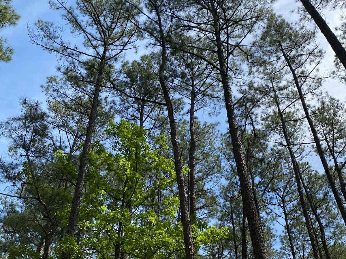
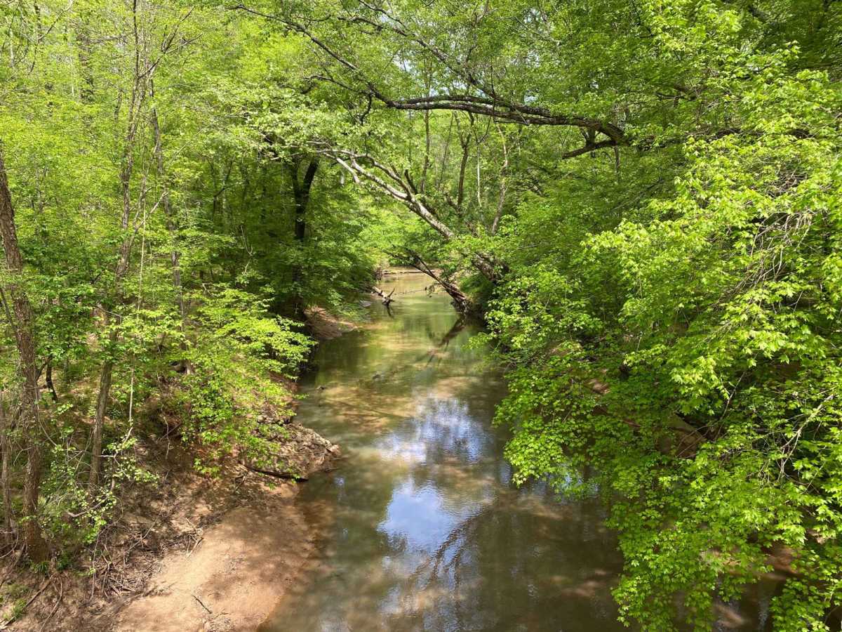
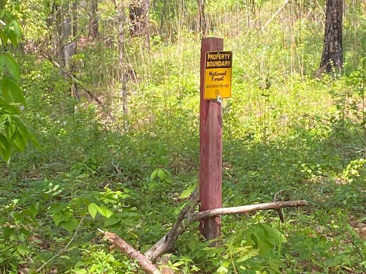
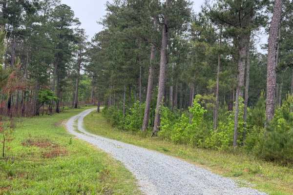
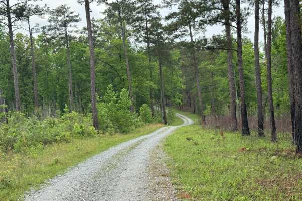
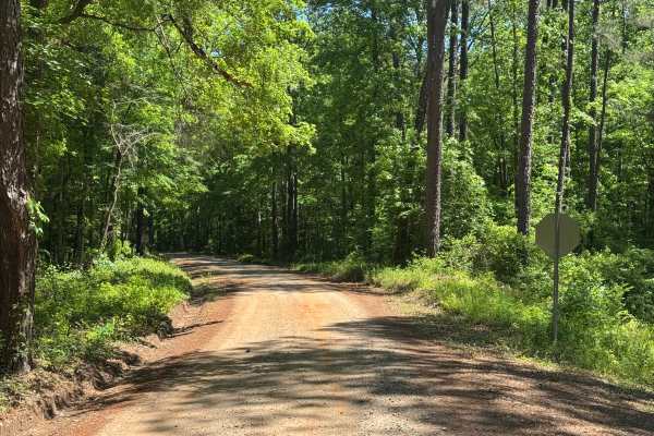
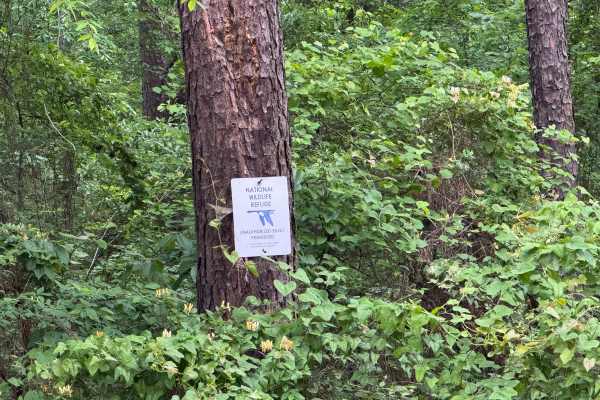
Hitchiti is a well-maintained gravel trail. There's a bridge over scenic Falling Creek just after you pass through the gate. The trail then winds through an experimental demonstration area, mostly pines, where the US Forest Service evaluates various methods for sustaining and managing forests. The trail is 2WD-friendly, but portions could be slick or muddy when wet and the whole trail is dusty when dry. There are branch trails, however, all are gated off and the vegetation overgrowth suggests they've been closed for a long time. The designated part of the trail is a little under 4 miles long and terminates at a gate on the National Forest property line. The road continues past the NF boundary. The time to drive it out and back is 40-60 minutes depending on whether you want to stop at any of the signs identifying the forestry techniques being studied. A sign indicates the area is habitat for the endangered red-cockaded woodpecker. There's at least one bar of cell service all along the trail. There are no restrooms or other structures. Overall, it's a nice drive that's especially fun if you're naturally curious or have an interest in unusual places like a demo forest.
History
From the US Forest Service website: "The 5000-acre Hitchiti Experimental Forest is located about 65 miles southwest of Athens, Georgia, and is the site of the Brender Demonstration Forest, a cooperative effort by the Southern Research Station and the Georgia Forestry Commission to showcase pine management for nonindustrial private landowners."