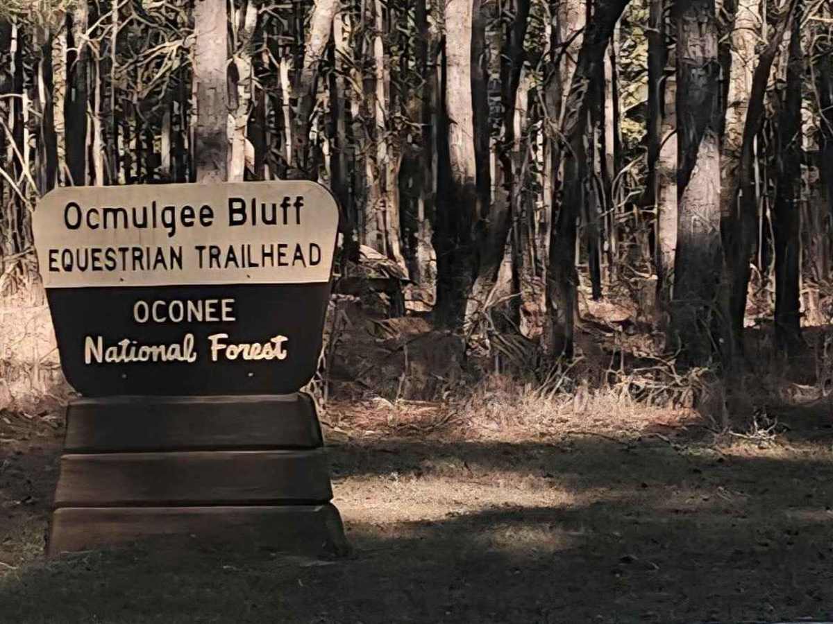
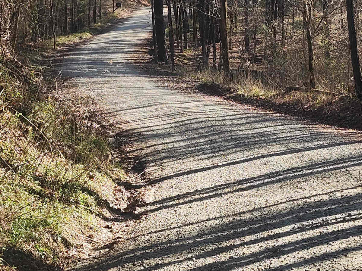
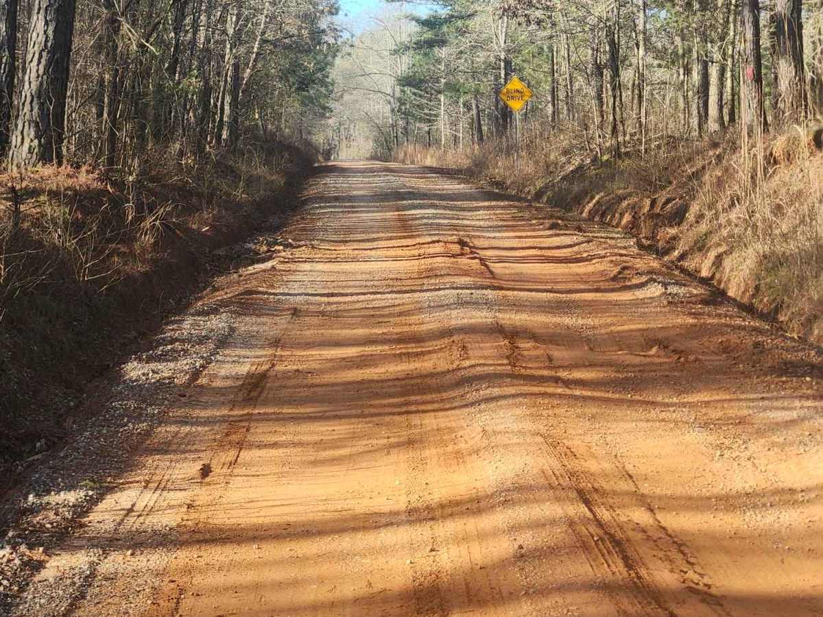
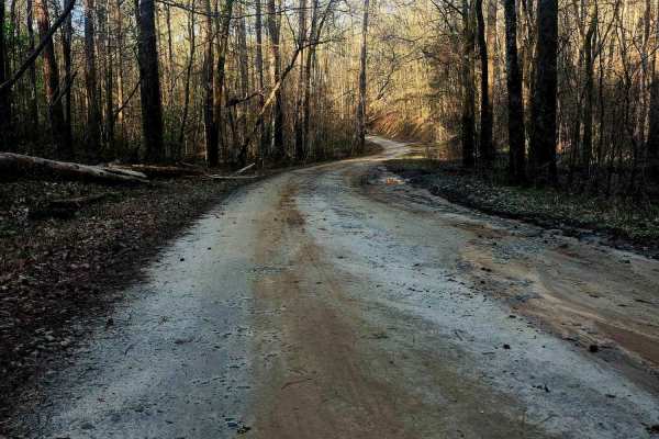
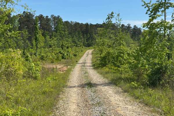
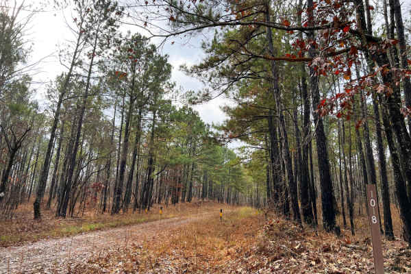
Trail Overview
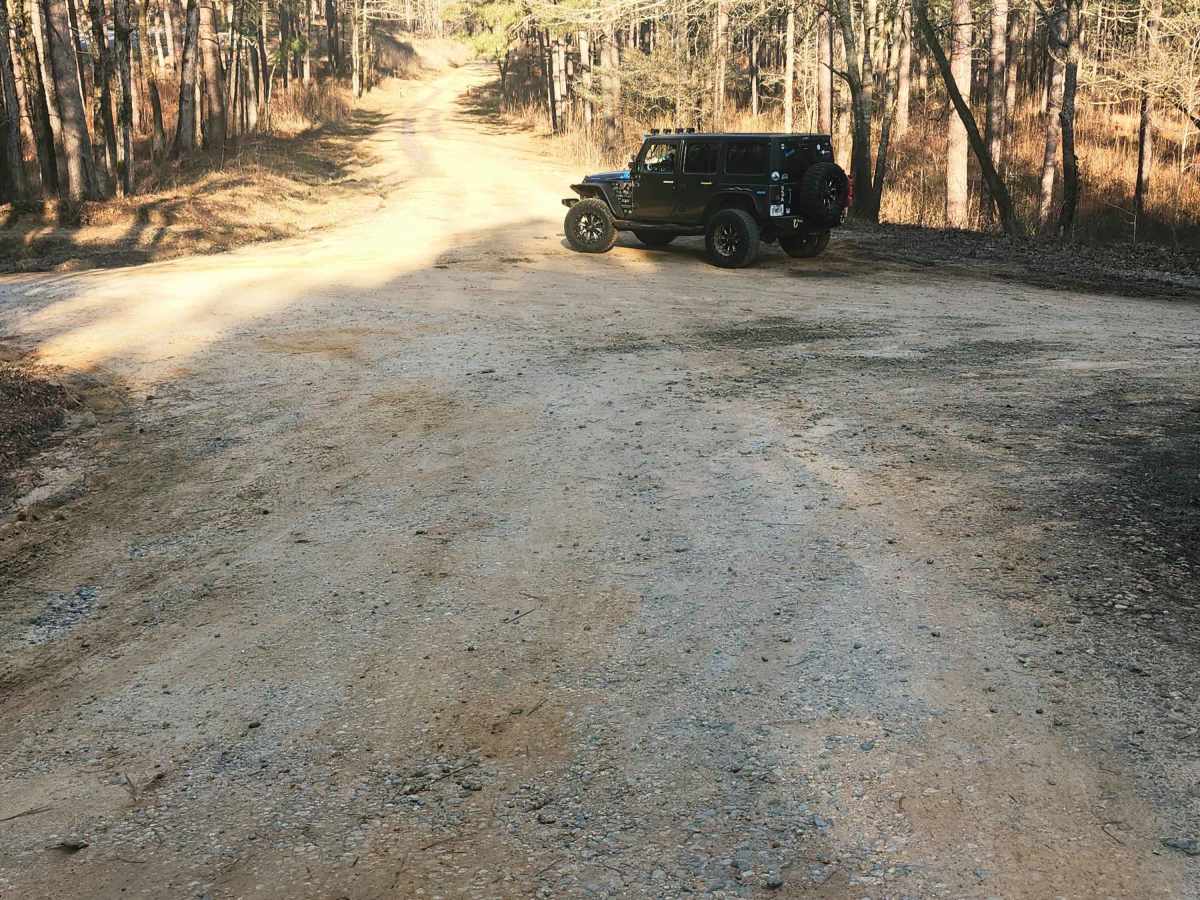
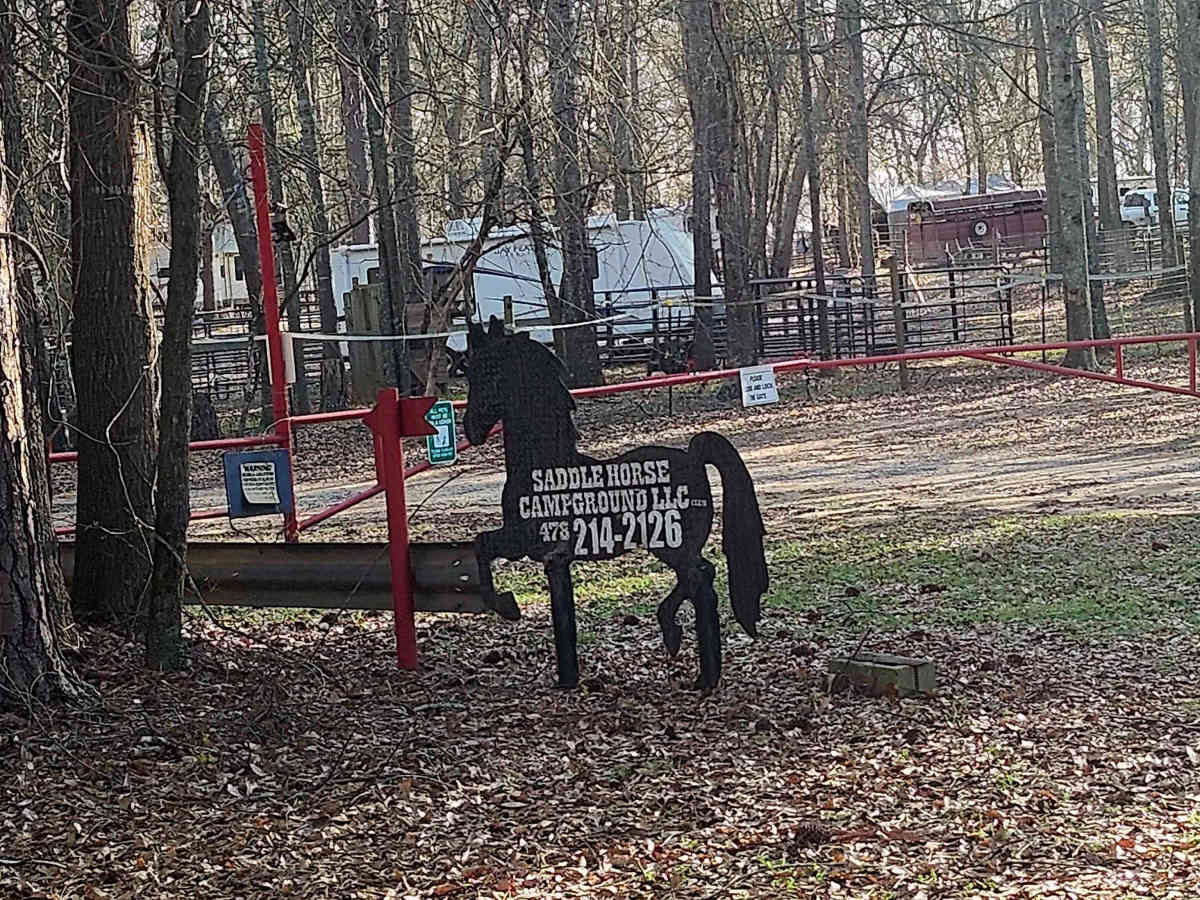
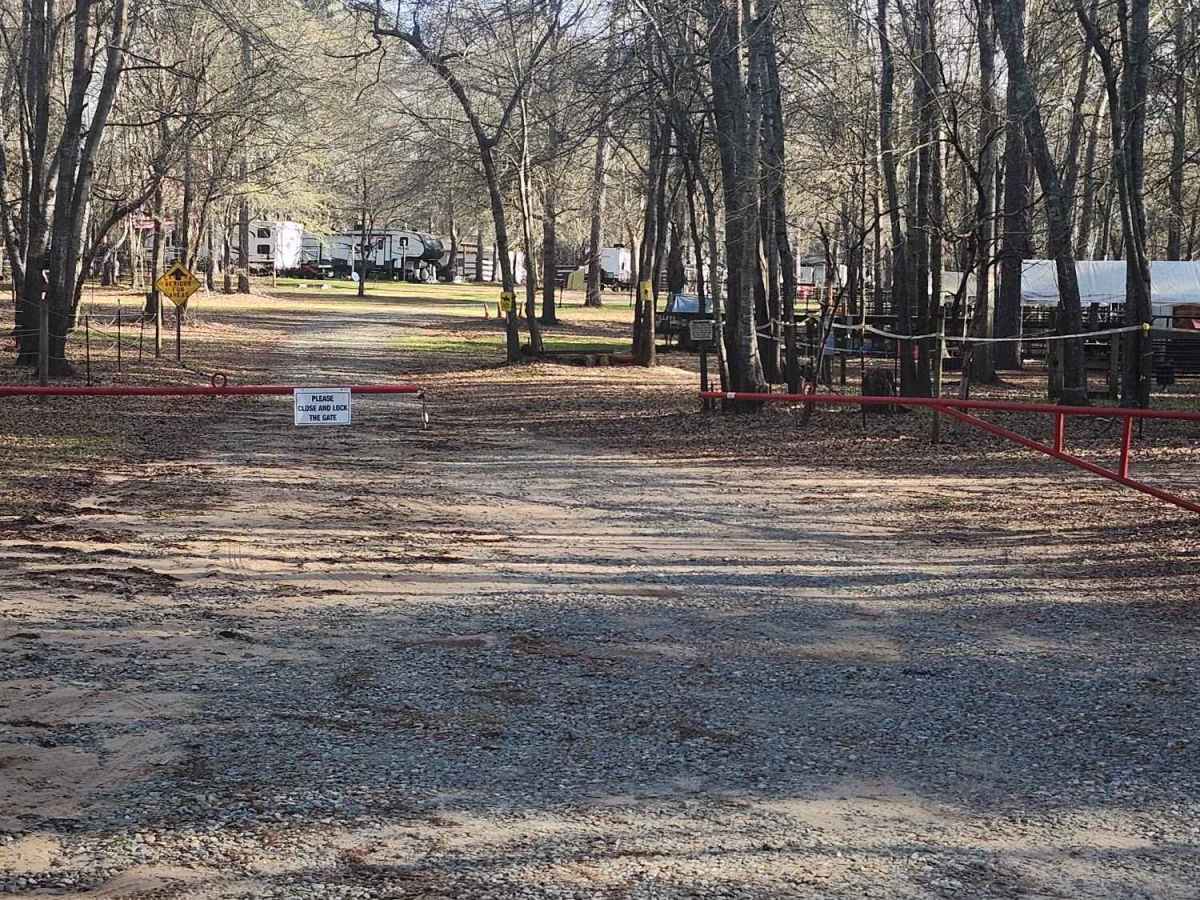
This beginner-friendly, two-way, through connector trail winds through a quiet equestrian corridor of gravel, sand, and packed dirt. Conditions are generally easy but can become slick and washed after rain, so steady driving is recommended. This trail runs through the Oconee National Forest and passes Saddle Horse Campground, an equestrian campground with horse corrals for those wanting to camp and bring their horses to enjoy easy access to the Ocmulgee Equestrian Bluff Trailhead, a popular hub for scenic river & forest views, which is right around the bend from the equestrian-friendly campgrounds. There is a natural stream that runs across the trail at the Northern end, which has caused a natural borrow along both sides of the trail. Use caution, as they can be deceiving after a good rain and are deep in some places.
Difficulty
This trail is very easy and begins in a residential area at the southern end with primarily gravel surfaces. Toward the middle and northern sections, the terrain transitions to sand and packed dirt that can become washed out, rutted, and slick after heavy rain. A natural stream crossing is present and has created borrow ditches along portions of the route.