Lane Cemetery Trail

Total Miles9.2
Technical Rating
4Moderate
Best TimeSpring, Summer, Fall, Winter
Trail TypeFull-Width Road
Accessible By
Open Trail Map

Trail Overview

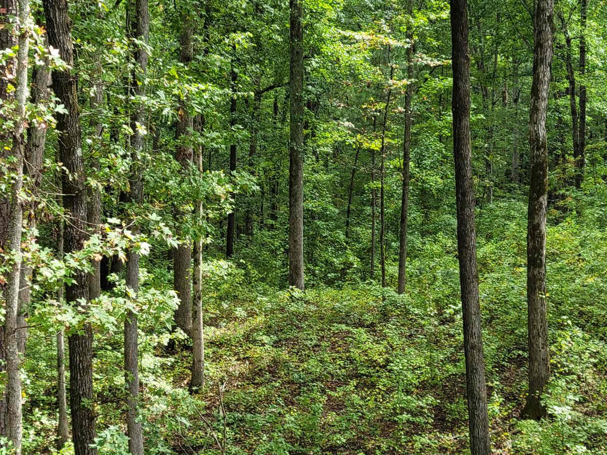
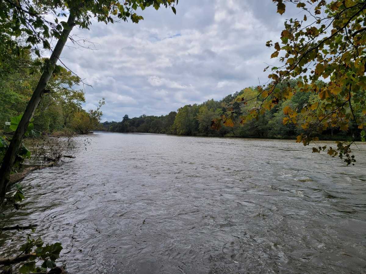
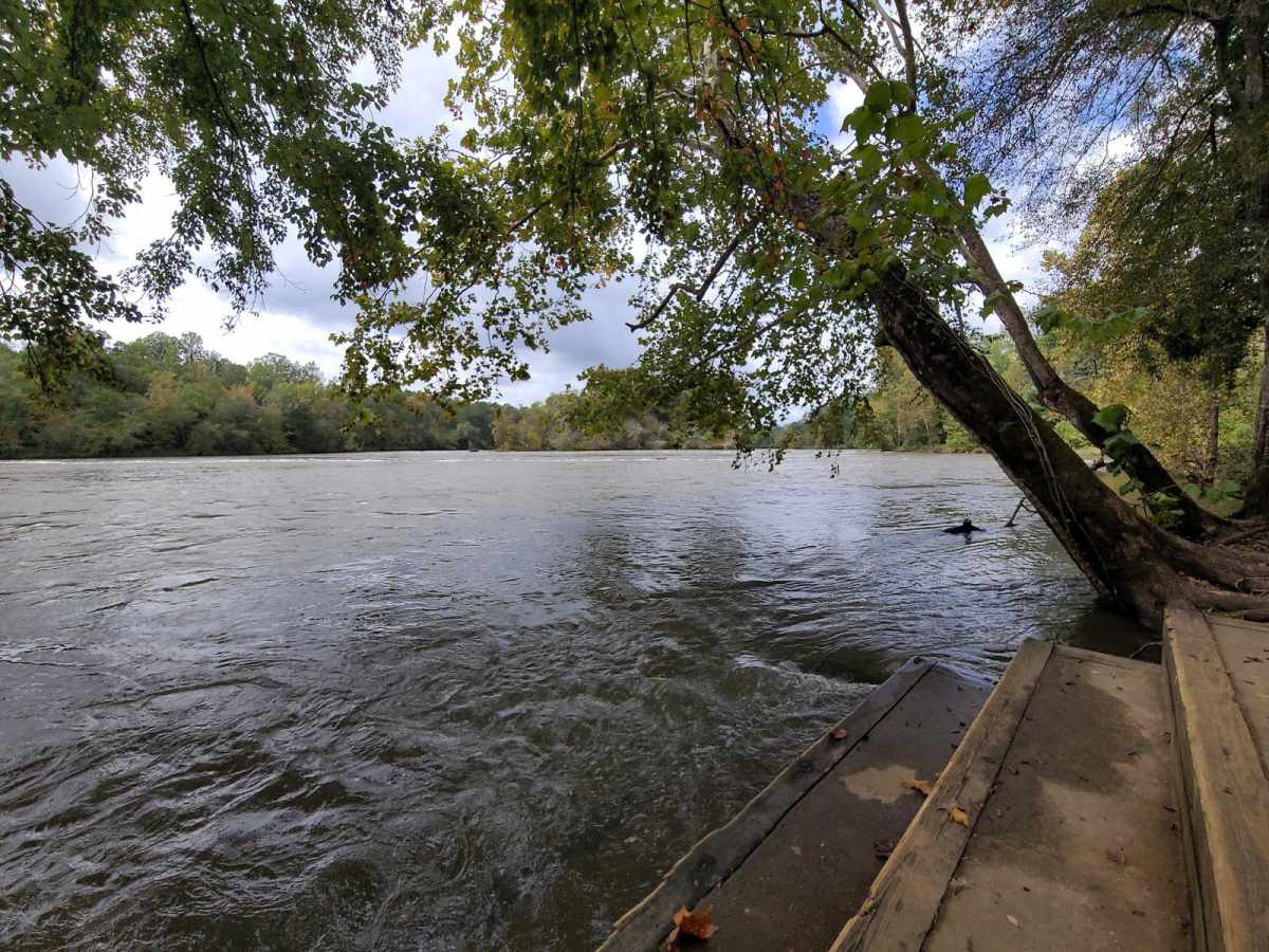
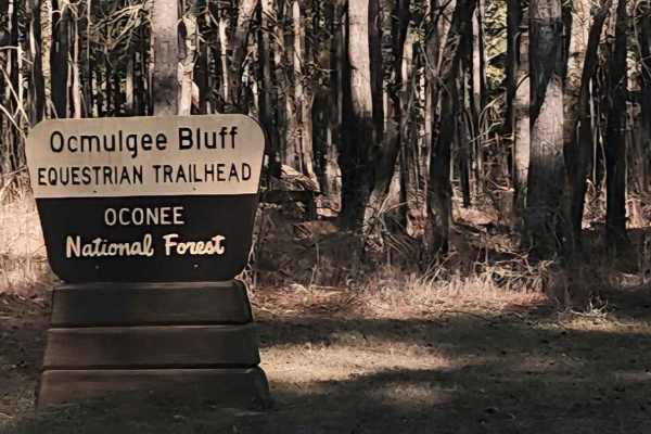
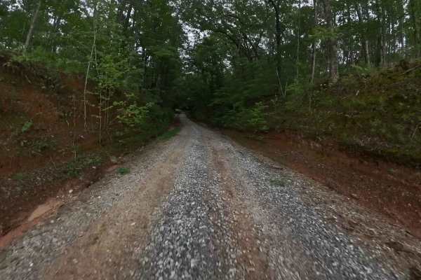
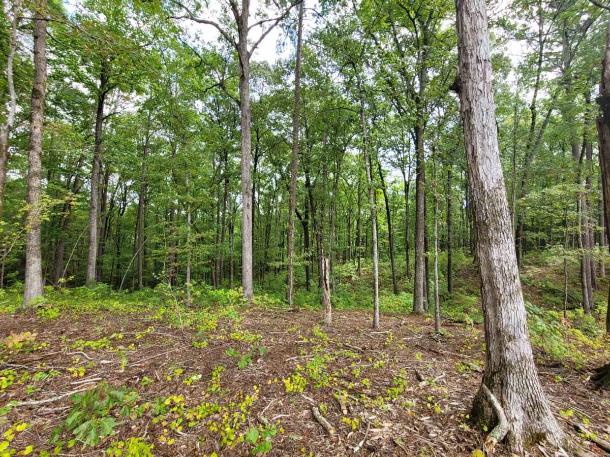
Lane Cemetery Trail is an ideal route for high-clearance four-wheel-drive vehicles, SxSs, and dirt bikes looking for a scenic and moderately challenging run through the Oconee National Forest. Spanning approximately 9.2 miles with an elevation gain of around 760 feet, this unpaved route winds through dense pine and hardwood forests east of the Ocmulgee River. With a technical rating of 4, the terrain consists primarily of gravel and dirt Forest Service roads that feature occasional mud holes, ruts, and rougher sections. While most of the main route is manageable for stock high-clearance vehicles, several more challenging spurs branching off the main track provide extra technicality, though these harder spots can typically be bypassed. As you travel south from the trailhead near Georgia State Route 16, the elevation fluctuates between 400 and 670 feet, passing through a mix of pristine federal forestland and active logging leases. Several spur trails lead directly down to the banks of the Ocmulgee River, offering convenient launch sites for kayaks and canoes, though visitors should note that some of these spurs are subject to seasonal or environmental closures. Primitive dispersed campsites are scattered along the trail, offering free camping spots for those looking to extend their stay. High-clearance four-wheel-drive vehicles are highly recommended, especially during or after wet weather when the clay-rich soil quickly turns into slick mud.

Photos of Lane Cemetery Trail

Difficulty

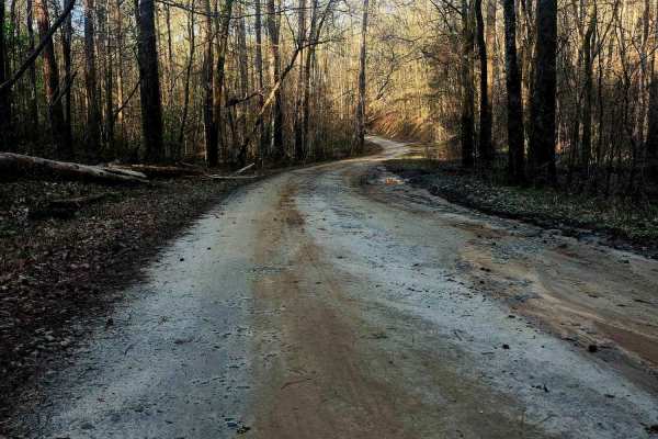
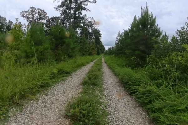
These are mostly gravel and mud roads. They are rough in some parts, and some, which are more difficult, can be bypassed.

Technical Rating

4

Status Reports

Add Status Report
Nathan R
Dec 28, 2025
Open
NormalDustyMuddy/Wet
This trail should be rated as easy 1-3. It was mostly gravel the whole time. A couple baby mud holes that’s avoidable.
John Christian
Dec 14, 2025
Open
Normal
No locked gates on the main trail. Spots are freshly graded.
Scott Andrews
Dec 05, 2025
Permanently Closed
Locked Gate
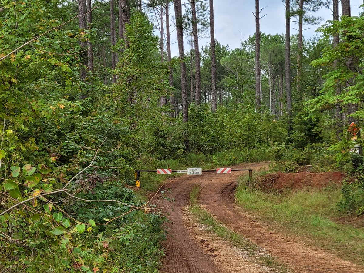
The trail has a "Road Closed" sign and gate closure across the road, per picture 2. This trail should be removed from Onx Off Road, so that people don't drive to it and waste.their time and gas. Or, the reason for the closure should be investigated, so that it can possibly be reopened.
Phillip Fennell
Nov 22, 2025
2008 Lexus GX
Open
Normal
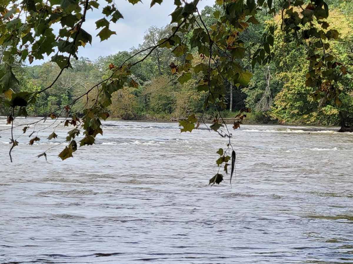
easy country road with access and veiws of the river
Darryl copeland
Nov 07, 2025
Open
Muddy/Wet
Gravel roads in good shape. At the end of the trail at wise cr canoe ramp would be a great spot to do some camping and fishing.
Franz Kinkhorst
Jun 15, 2025
Open
Very nicely graded road no idea what it’s rated a 4 we saw a civic on the “trail” there are some unmarked trails but still nothing above a 2 difficulty. Even with the heavy rain the past few days the was no parts that needed even a high clearance vehicle let alone 4wd
Nathan T
Mar 23, 2025
Open
NormalDustyWashboard
didn't get any photos but went all the way to the river without ever needing 4x4. couple of small roadside ditch puddles. nice candy area with small creek if you have kids and or pets to play. large river area has kayak foot ramp with small parking area. nice quiet and will definitely return to fish and camp.
Jeep A-Aron
Mar 23, 2025
Open
Normal
Robert B
Mar 21, 2025
Open
Fun, easy drive on a gravel road. There was at least one spur road that offered a little more technical driving.
James Wiggins
Dec 07, 2024
Open
NormalDusty
very nice ride with a fun technical climb at the beginning if you want to take it but you need 4x4. The river at the end of the trail is beautiful
Chris Mayfield
Nov 18, 2024
Open
Roger Butch
Sep 22, 2024
Open
Normal
Avion C
Aug 06, 2024
Open
Normal
Zack Hollins
Jul 31, 2024
Obstructed
Downed Tree
trail is a difficulty rating of barely a 2/10. NOT MODERATE. Could be driven easily without a 4x4. Two downed trees on the trail however that makes it a bit more difficult but still passable
Evelyn Ruiz
May 27, 2024
Open
Normal
It was very very easy and doesn’t need 4x4.It’s just a road with gravel.

Lane Cemetery Trail Trail can be accessed by the following ride types:

  • High Clearance
  • Full Width

Access Description

Accessing this route within the Oconee National Forest is free and does not require a permit. Several spur trails along the route are subject to seasonal or environmental closures managed by the U.S. Forest Service. Drivers should verify current road statuses with the forest service, particularly after heavy rains when the clay-rich soil becomes highly slick and muddy.

Lane Cemetery Trail Map

The onX Offroad Difference

onX Offroad combines trail photos, descriptions, difficulty ratings, width restrictions, seasonality, and more in a user-friendly interface. Available on all devices, with offline access and full compatibility with CarPlay and Android Auto. Discover what you're missing today!

Open Trail Map