
Dirt Bike Trails
Near Sautee-Nacoochee, Georgia
Explore All Dirt Bike Trails Near Sautee-Nacoochee, Georgia
Dirt Bike Trails Near Sautee-Nacoochee, Georgia
Discover the best dirt bike trails near you. Browse trail maps, check difficulty ratings, and find your next adventure — whether you're looking for a quick ride or an all-day expedition.
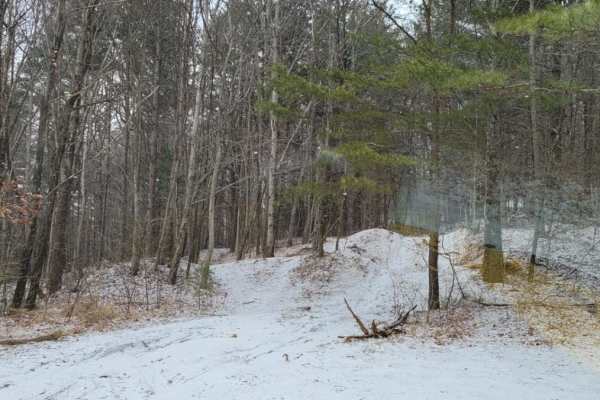
Tray Mountain Trail
Tray Mountain Trail is an ideal destination for beginner to intermediate offroaders seeking a scenic climb through the Chattahoochee-Oconee National Forest with stunning views of the North Georgia Mountains. Stretching approximately 7.8 miles, this popular route begins near the alpine town of Helen ...
Learn more about Tray Mountain Trail
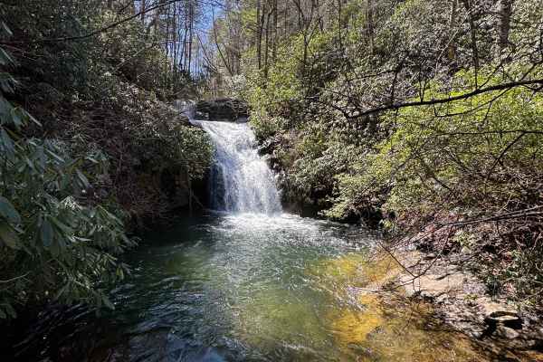
Indian Grave Gap - FR 283
Indian Grave Gap Trail connects CR 17 at the north end and the Tray Mountain Trail at the south end. It's a beautiful loop, if you add the Indian Corbin Creek to your route. There are several hiking trails that lead to breathtaking waterfalls on your way. The trail is a gravel forestry road with som...
Learn more about Indian Grave Gap - FR 283
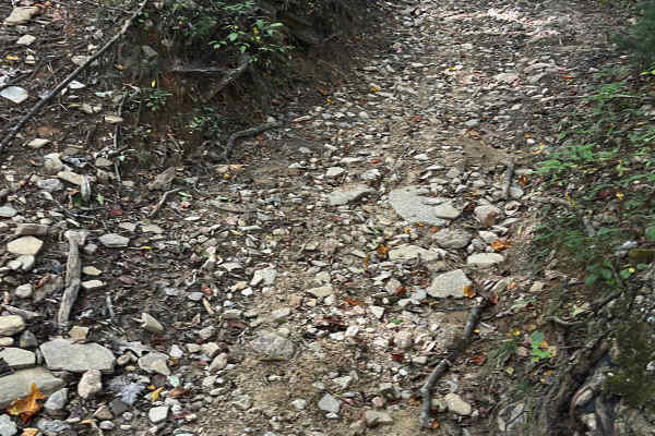
Moates Knob - Oakey Mountain OHV
Top loop at Oakey Mountain OHV. Most of Oakey Mountain is for expert riders only. This loop can give a preview of what's to come for intermediate riders. It connects as a loop to the main trail, so you can ride some of the nearby trails and not get stuck in the back after all the hill climbs.
Learn more about Moates Knob - Oakey Mountain OHV
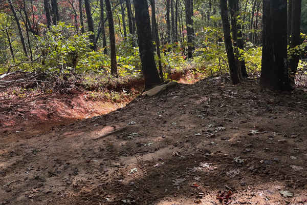
Ann's Gap - Oakley Mountain OHV
Extreme hill climb at Oakey Mountain. This is part of the original trail that has had a bypass installed to folks can at least get past. The USFS left this in rather than close it off since it's all rock and can't get much worse with time and erosion. It's already about as bad as it can get.
Learn more about Ann's Gap - Oakley Mountain OHV
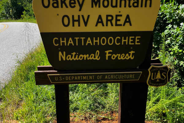
Oakey Mountain OHV
Oakey Mountain is the most difficult/extreme public OHV in Georgia. There are quite a few hills and rocky climbs. This is not a trail for beginners or even intermediates. There is a bike loading ramp in both the north and south parking lots and in the North Day Use Area. Here is a Vault with x6 park...
Learn more about Oakey Mountain OHV
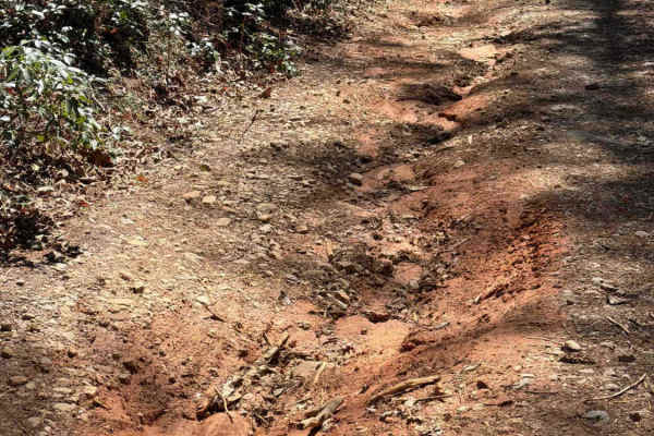
Crow Creek - FS 27
The Crow Creek trail, also known as FS 27, takes you from the West Seed Lake Road along the Crow Creek to a hiking trail to the Crow Creek Falls and primitive campsites along the creek. It is a gravel forestry road with some soft sand spots that can turn into 2-foot deep mud holes after heavy rain. ...
Learn more about Crow Creek - FS 27
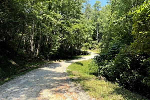
West Seed Lake Road
A beautiful gravel road along the west side of Seed Lake. The road is well-maintained and usually wide enough for two cars to pass. The Lake Seed Recreation Area offers a swimming area for kids and adults and several picnic sites with tables and fire pits. Restrooms with changing rooms are available...
Learn more about West Seed Lake Road
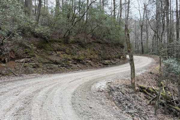
Bear Gap Road
The Bear Gap Road connects the Orchard Road at the east end and the Low Gap Road at the west end of the trail. The road takes you along the Tallulah River and gives you access to some hiking trails to local waterfalls. It is a gravel forestry road with some soft sand spots that can turn into mud hol...
Learn more about Bear Gap Road
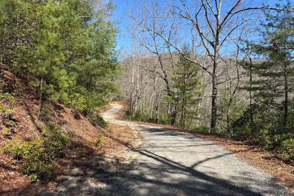
Corbin Creek - FR 698
Corbin Creek Trail connects CR 17 at the north end and the Tray Mountain Trail at the south end. It's a beautiful loop, if you add the Indian Grave Gap to your route. There are several hiking trails that lead to breathtaking waterfalls on your way. The trail is a gravel forestry road with some soft ...
Learn more about Corbin Creek - FR 698
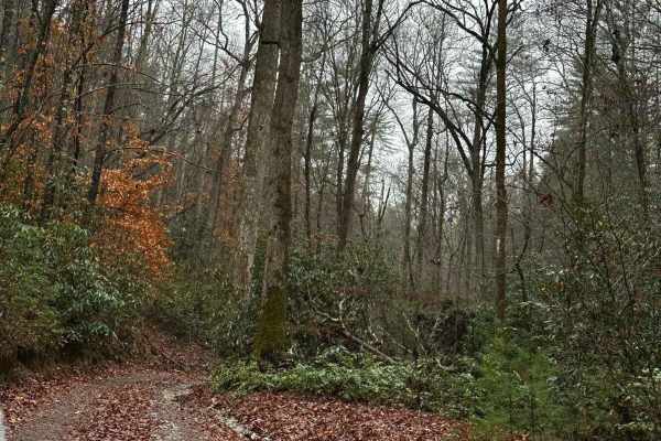
Falls Branch Road - FSR 2
Falls Branch Road is an out-and-back trail that takes roughly 1 Hour to complete. The trail is mostly single-vehicle wide with a few spots to pass if needed. The trail has a few ruts and rocks that could be tricky when wet. Overall, 4WD should not be needed unless wet. The trail ends in an area that...
Learn more about Falls Branch Road - FSR 2
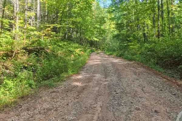
Chester Knob Upper Trail
Chester Knob Upper Trail is a narrow 2.4-mile dirt and gravel path winding through mountainous forest in the Chattahoochee National Forest. While not heavily technical, riders should be cautious of steep drop-offs on the right side when ascending. A few scattered rocks add a minor challenge along th...
Learn more about Chester Knob Upper Trail
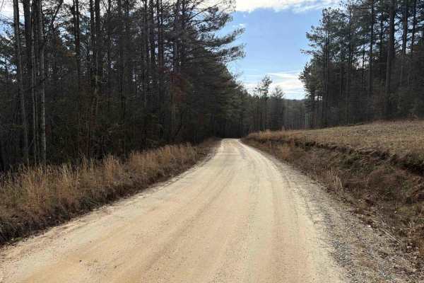
COL Hough Road
COL Hough Road connects US Route 23 at the east end and the Bear Gap Road at the west end of the trail. It is a gravel forestry road with some soft sand spots that can turn into 2-foot deep mud holes after heavy rain. The road is not always wide enough for two vehicles to pass. 4WD and High-Clearanc...
Learn more about COL Hough Road
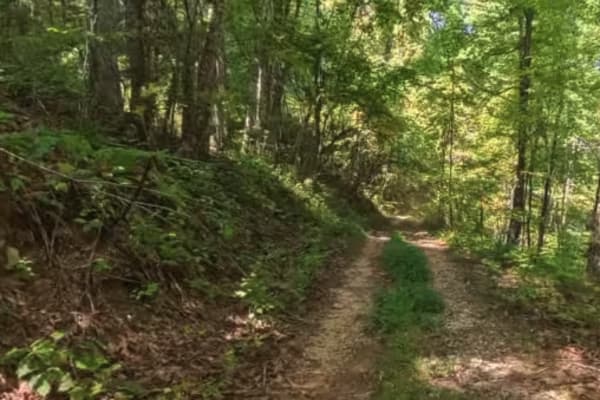
Chester Knob Lower Trail
Chester Knob Lower is a short, wooded trail in the Chattahoochee National Forest that gradually descends toward the Nottely River. The 1-mile route is made up of packed dirt and forest floor, making it a smooth and scenic connector for smaller off-road vehicles. The trail winds through dense mountai...
Learn more about Chester Knob Lower Trail
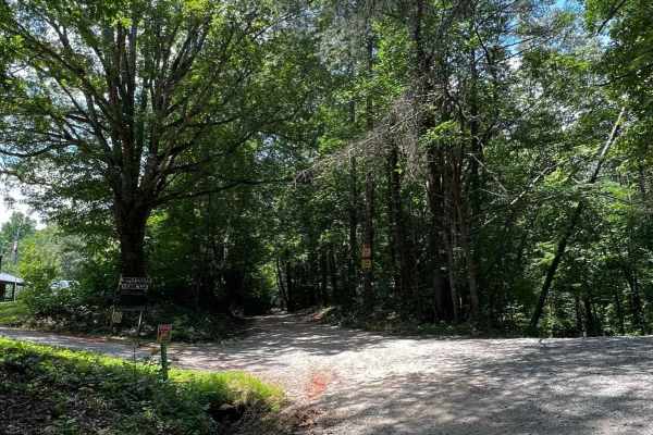
West Wolf Creek - FS 107
This is a fantastic trail that’s genuinely fun to drive, offering a relaxed yet engaging experience from start to finish. When the leaves are down, the views open up beautifully, making this a particularly scenic ride during the cooler months. The trail features 10 campsites, nearly all situated rig...
Learn more about West Wolf Creek - FS 107
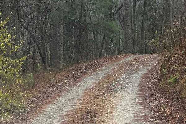
Honey Stand Road - FSR 184
Honey Stand Road is a short out-and-back trail that can be used to get closer access to the Panther Creek walking trail that leads to Panther Creek Falls. The road is graveled with little to no issues traversing. Most vehicles should be able to make it to the end with no issues. At the end, you will...
Learn more about Honey Stand Road - FSR 184
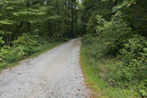
Dockey Lake Recreation Area Trail
Dockey Lake Recreation Area Trail is a 1.9-mile gravel road in the Chattahoochee National Forest, providing easy access to nearby campgrounds and recreation spaces. Open to all vehicle types, the trail offers a peaceful forested drive with no technical challenges. While simple in terrain, it’s a use...
Learn more about Dockey Lake Recreation Area Trail
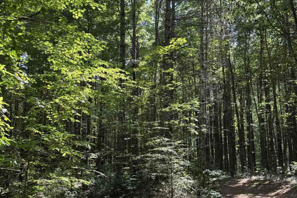
Fortenberry - FS 395
This forest road is less maintained and perfect for those looking to collect pinstripes, branches, and more if you have roof racks. Right at the beginning is a small campsite before two major humps you'll have to pass over to get to the trail. To get over the humps to access the trail, you will need...
Learn more about Fortenberry - FS 395
Bowers Cove - FS 298
This out-and-back, one-lane forest trail is easygoing and welcoming, with plenty of space to pass other vehicles and minimal risk of pinstripes. The route is mostly flat, made up of smooth dirt with occasional patches of gravel, and gently winds its way to a closed gate at the end. Two-thirds of the...
Learn more about Bowers Cove - FS 298
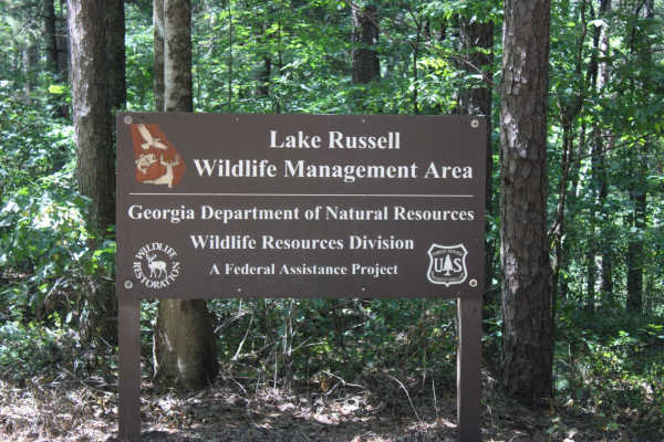
Georgia Mountain Orchard
Georgia Mountain Orchard Road is an easy route into the Lake Russel WMA. This route begins just outside of Cornelia, Georgia. This road can be driven in 2WD and is a relaxing trek overall. Driving south, you will encounter Austin Cemetery on the left. It is easy to pass if you are not looking for it...
Learn more about Georgia Mountain Orchard
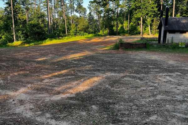
Locust Stake Moon Walk - 148F
Part of the Locust Stake OHV Trail system. This trail begins on the left side of the parking lot as you enter the trailhead. It loops around and back to itself, or near the end, you can turn and continue to the other trails here. This trail has a few moderately difficult rocky hills and one large ro...
Learn more about Locust Stake Moon Walk - 148F
ATV trails near Sautee-Nacoochee, Georgia
Explore ATV-friendly trails near you. These trails are accessible for vehicles up to 50 inches wide, perfect for ATVs and smaller off-road machines.
Tray Mountain Trail
Tray Mountain Trail is an ideal destination for beginner to intermediate offroaders seeking a scenic climb through the Chattahoochee-Oconee National Forest with stunning views of the North Georgia Mountains. Stretching approximately 7.8 miles, this popular route begins near the alpine town of Helen ...
Learn more about Tray Mountain Trail
Indian Grave Gap - FR 283
Indian Grave Gap Trail connects CR 17 at the north end and the Tray Mountain Trail at the south end. It's a beautiful loop, if you add the Indian Corbin Creek to your route. There are several hiking trails that lead to breathtaking waterfalls on your way. The trail is a gravel forestry road with som...
Learn more about Indian Grave Gap - FR 283
Moates Knob - Oakey Mountain OHV
Top loop at Oakey Mountain OHV. Most of Oakey Mountain is for expert riders only. This loop can give a preview of what's to come for intermediate riders. It connects as a loop to the main trail, so you can ride some of the nearby trails and not get stuck in the back after all the hill climbs.
Learn more about Moates Knob - Oakey Mountain OHV
Ann's Gap - Oakley Mountain OHV
Extreme hill climb at Oakey Mountain. This is part of the original trail that has had a bypass installed to folks can at least get past. The USFS left this in rather than close it off since it's all rock and can't get much worse with time and erosion. It's already about as bad as it can get.
Learn more about Ann's Gap - Oakley Mountain OHV
UTV/side-by-side trails near Sautee-Nacoochee, Georgia
Find UTV and side-by-side trails near you. These trails accommodate vehicles up to 60 inches wide, ideal for UTVs, side-by-sides, and wider off-road rigs.
Indian Grave Gap - FR 283
Indian Grave Gap Trail connects CR 17 at the north end and the Tray Mountain Trail at the south end. It's a beautiful loop, if you add the Indian Corbin Creek to your route. There are several hiking trails that lead to breathtaking waterfalls on your way. The trail is a gravel forestry road with som...
Learn more about Indian Grave Gap - FR 283
West Seed Lake Road
A beautiful gravel road along the west side of Seed Lake. The road is well-maintained and usually wide enough for two cars to pass. The Lake Seed Recreation Area offers a swimming area for kids and adults and several picnic sites with tables and fire pits. Restrooms with changing rooms are available...
Learn more about West Seed Lake Road
Bear Gap Road
The Bear Gap Road connects the Orchard Road at the east end and the Low Gap Road at the west end of the trail. The road takes you along the Tallulah River and gives you access to some hiking trails to local waterfalls. It is a gravel forestry road with some soft sand spots that can turn into mud hol...
Learn more about Bear Gap Road
Corbin Creek - FR 698
Corbin Creek Trail connects CR 17 at the north end and the Tray Mountain Trail at the south end. It's a beautiful loop, if you add the Indian Grave Gap to your route. There are several hiking trails that lead to breathtaking waterfalls on your way. The trail is a gravel forestry road with some soft ...
Learn more about Corbin Creek - FR 698
The onX Offroad Difference
onX Offroad combines trail photos, descriptions, difficulty ratings, width restrictions, seasonality, and more in a user-friendly interface. Available on all devices, with offline access and full compatibility with CarPlay and Android Auto. Discover what you're missing today!
Open Trail Map