Jon
Dec 07, 2025
2015 Toyota Tundra
Open
Muddy/Wet
Trails open. Little muddy in some spots but overall great.
Robert B
Nov 08, 2025
Open
Great drive! A little wet from recent rain, but totally manageable. A few sections would be tough if you're not in a high clearance vehicle.
Larry wald
Oct 29, 2025
2021 Jeep Wrangler
Open
Normal
I would say the trail is wet today. Very passable. Nice colors
David Zymowski
Oct 28, 2025
2023 Toyota Tacoma
Open
Wide open.
Diego Jaramillo
Oct 12, 2025
Open
We drove today around the area, We didn’t find anything closed
John Christian
Sep 17, 2025
Temporarily Closed
Closed GatePosted Sign
The road at Tray Gap trailhead is closed at Corbin Creek rd. Going North, You can go left onto Corbin Creek Rd, but not right onto this section of Georgia Traverse.
Shannon Massey
Sep 07, 2025
Open
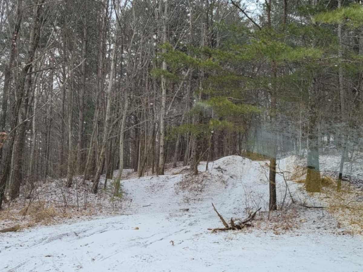
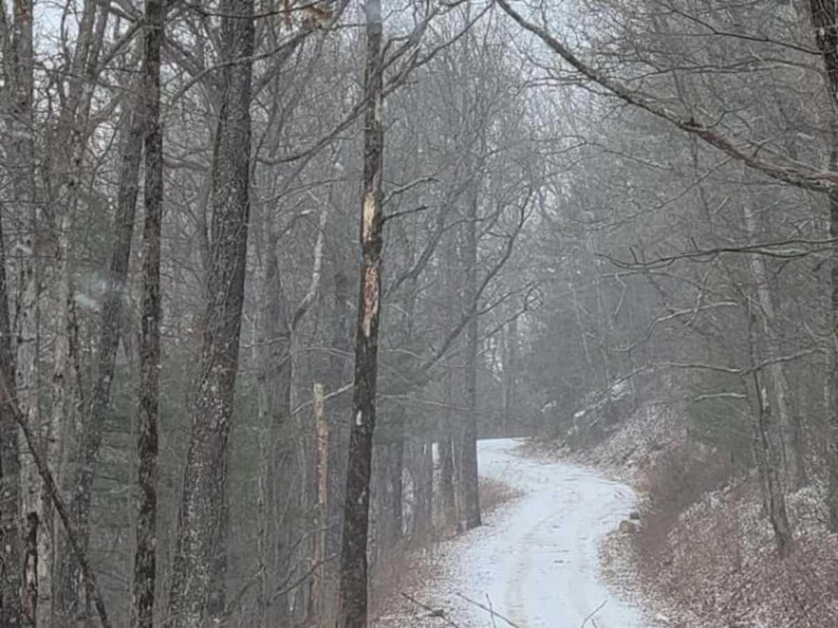
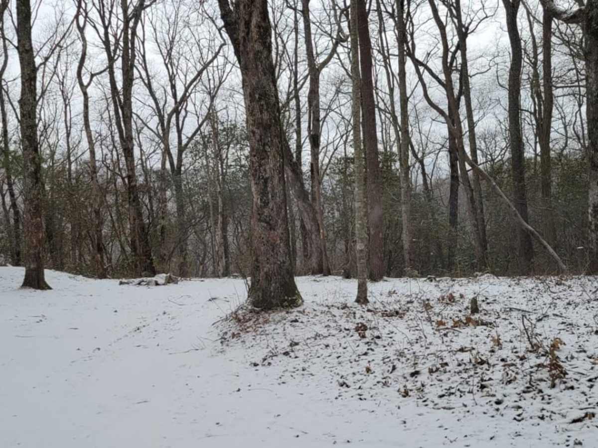
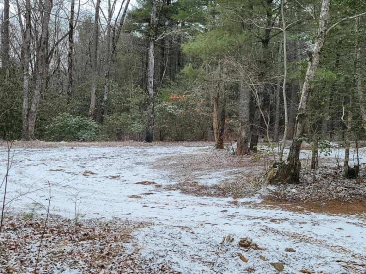
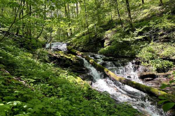
Rough/DeterioratedMuddy/Wet
Mostly dirt & muddy at top. Dirt and rocky going down and rutty throughout. Gravel before the Lodge, washouts, use caution. Didn't need 4WD, but navigated with caution in turns.
Lyndon Pham
Sep 06, 2025
2025 Subaru Outback
Open
A Prius and Crown were able to make it halfway up the trail, there are some ruts and puddles to watch for but they can be bypassed easily
Shariq Shahbazi
Jul 13, 2025
Open
NormalRough/Deteriorated
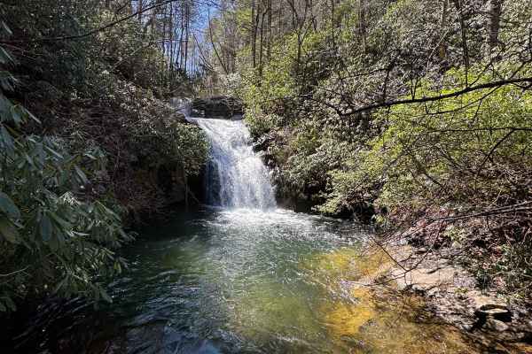
My Hummer EV 3X SUT was in Off-Road mode with Increased Height enabled. It has the stock Extreme Off-Road Package, which includes 35” Wrangler MT tires. We started the trail from the north end, near the falls, and encountered the only water crossing almost right at the beginning—it was less than a foot deep.
The ride was surprisingly comfortable, even for my elderly mother sitting in the back seat. We went very slow, though, because we were followed by my brother-in-law and his family in a stock 2025 4Runner. He, his wife, and their kids were noticeably uncomfortable and later sore from the ruts, bumps, and rocks.
We completed the entire trail at a crawling pace, and it took us two and a half hours. Neither my brother-in-law nor I have much off-road experience—we’re both pretty new to it.
Terry Wilburn
Jul 12, 2025
2021 Jeep Wrangler
Open
NormalRough/DeterioratedWashboard
Caleb McCoy
Jun 18, 2025
2019 Subaru Crosstrek
Open
NormalMuddy/Wet
Slightly wet after recent storm but track still in good condition.
Paul Jones
Jun 15, 2025
2005 Ford Ranger
Open
NormalMuddy/Wet
Easy road. Nice trip. Started at the base and went up thru Indian Gap. Steep climb up the mountain but fairly smooth
Brent Blankinship
Jun 15, 2025
2021 Jeep Wrangler
Open
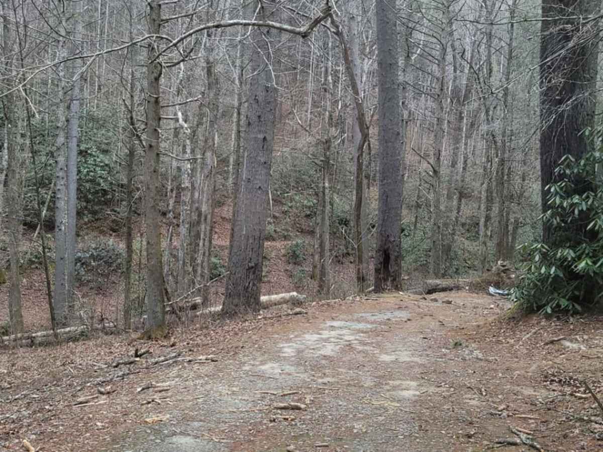
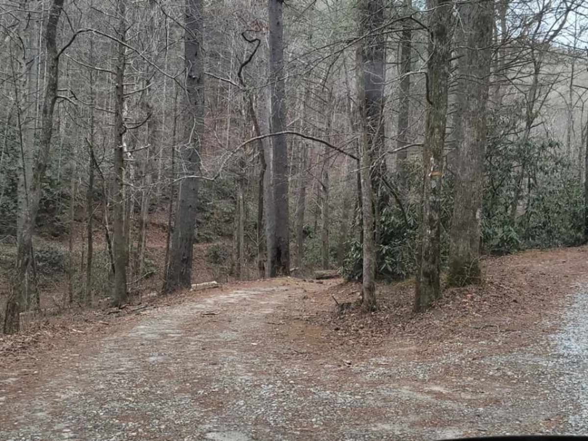
Very easy trail. Mostly gravel road and can be easily done in a 2WD SUV. Very good ride, just not as much to see.
Brian L
Jun 08, 2025
2024 Toyota Land Cruiser
Open
Muddy/Wet
A fairly easy trail. I picked it up from Indian Grave Gap trail. I’m calling it a 3/10 because of fairly deep ruts. Other than that it was mostly just some wet spots with some small mud holes. The last few miles are gravel and pretty well maintained because of homes accessed by that route.
Chett Thomason
Jun 02, 2025
2024 Volkswagen Atlas
Open
nice trail, good condition, followed up to Indian grave gap.