Indian Grave Gap - FR 283

Total Miles4.1
Technical Rating
3Easy
Best TimeFall, Summer, Spring
Trail TypeFull-Width Road
Accessible By
Open Trail Map

Trail Overview

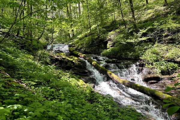
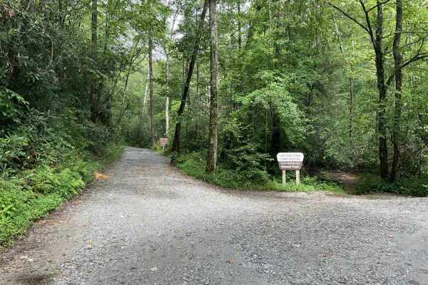
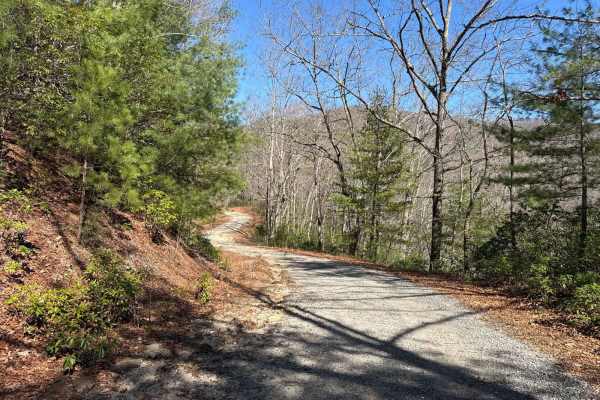
Indian Grave Gap Trail connects CR 17 at the north end and the Tray Mountain Trail at the south end. It's a beautiful loop, if you add the Indian Corbin Creek to your route. There are several hiking trails that lead to breathtaking waterfalls on your way. The trail is a gravel forestry road with some soft sand spots that can turn into mud holes after heavy rain. The road is not always wide enough for two vehicles to pass. 4WD and High-Clearance are recommended, especially during Winter. All vehicles must be street-legal. The Chattahoochee-Oconee National Forest provides the finest outdoor recreation opportunities and natural resources in Georgia. Featuring nearly 867,000 acres across 26 counties, thousands of miles of clear-running streams and rivers, approximately 850 miles of recreation trails, and dozens of campgrounds, picnic areas, and other recreation activity opportunities, these lands are rich in natural scenery, history, and culture. The Chattachoochee-Oconee National Forest offers a variety of activities such as camping, OHV riding, boating, and target shooting. While many of these activities are free, passes or permits may be required at certain recreation sites to help maintain, manage, and improve the facilities: https://www.fs.usda.gov/conf

Photos of Indian Grave Gap - FR 283

Difficulty

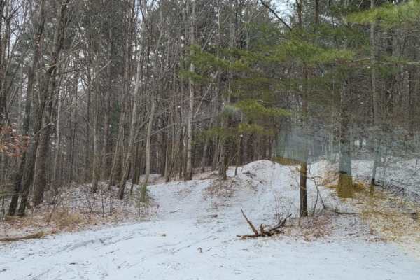
Easy road unless after heavy rain or during winter.

History

Georgia's only national forest offers 867,000 acres of scenery, history, and culture to explore.

Technical Rating

3

Status Reports

Add Status Report
John O.
Oct 11, 2026
2024 Jeep Wranlger JLU
Obstructed
Downed Tree
Trail was was fairly tame but we found that it was blocked by large tree down across the trail just pass the hiking trail head.
Cindy Rieckhoff
Oct 06, 2026
2019 Ram 1500
Open
Rough/Deteriorated
Coming in from the north to the Falls was ROUGH! Lots of badly washed out sections that would make a lower clearance vehicle scrape or high center if you don't pick a perfect line. Doable, but not if you love your car. Recommend 4x4
Jose Villazon
Oct 04, 2026
2025 Ford Bronco
Open
Muddy/Wet
It was raining and the trail was a bit muddy. But overall for my first time off-roading it was pretty easy. Great place to have your first off-roading experience.
William Sine
Aug 17, 2026
2025 Toyota Tacoma Trailhunter
Open
Normal
Easy trail. Doable in 2WD. About 6 cars near the waterfall trail head at the northern section. A few people driving the southern section
Alex Kelly OverLanding
May 09, 2026
2014 Toyota RAV4
Open
No issue with 2wd with clearance.
Brody Toenes
Feb 06, 2026
2006 Toyota Tacoma
Open
NormalMuddy/WetSnow/Ice
Joe fox
Dec 30, 2025
Open
Normal
Rocky at the summits with a couple washouts but easily passable.
Lana self
Dec 25, 2025
Open
DustyRough/Deteriorated
Jon
Dec 07, 2025
2015 Toyota Tundra
Open
Rough/DeterioratedMuddy/Wet
Coming from the highway its super rough. Coming from Tray Mtn its super wet but doable.
Andy Arrieta
Nov 16, 2025
2025 Jeep Wrangler
Open
Normal
Nice views. Very easy gravel trail.
Robert B
Nov 08, 2025
2019 Ford Ranger
Open
Normal
Lots of people hiking in the area and parked on the road. One water crossing right at the beginning/end. Still a fun drive!
Shannon Massey
Sep 07, 2025
Open
Rough/Deteriorated
rock gardens, rutted & washboarding during incline. nothing that required 4wd. parking at waterfall was packed.
Darin Clubbs
Aug 15, 2025
2013 Toyota Sequoia
Open
Normal
Dry conditions. One small creek crossing and a few small ruts and rocks here and there. Very doable in even a small SUV.
Brent Blankinship
Jun 15, 2025
2021 Jeep Wrangler
Open
Normal
Small creek crossing right after you enter off Hwy 17. Pretty easy. I saw a mini van and a sedan go through it. Once you get past the hiking trailhead, there is little to no people. Can be done easily in a 2WD SUV.
Brian L
Jun 08, 2025
2024 Toyota Land Cruiser
Open
Muddy/WetWashboard
I travelled north to south, and the first 1/2 mile was a little muddy after overnight rain. The water crossing didn’t appear to be very high compared to normal and was probably 8-10 inches deep. Starting about 1/3 the way in there were several significant ruts and washes that a standard car would very likely scrape or high side, and many places with book- to football-sized rocks, both embedded and loose. I would hade been worried with SL-rated tire. Not a difficult ride, but I wouldn’t try it in a car or an SUV with street tires (due mainly to lower puncture resistance vs. some of the rocky areas.

Indian Grave Gap - FR 283 Trail can be accessed by the following ride types:

  • Single Track
  • 50 Inch
  • 60 Inch
  • High Clearance
  • Full Width

Indian Grave Gap - FR 283 Map

The onX Offroad Difference

onX Offroad combines trail photos, descriptions, difficulty ratings, width restrictions, seasonality, and more in a user-friendly interface. Available on all devices, with offline access and full compatibility with CarPlay and Android Auto. Discover what you're missing today!

Open Trail Map