
Dirt Bike Trails
Near Rexland Acres, California
Explore All Dirt Bike Trails Near Rexland Acres, California
Dirt Bike Trails Near Rexland Acres, California
Discover the best dirt bike trails near you. Browse trail maps, check difficulty ratings, and find your next adventure — whether you're looking for a quick ride or an all-day expedition.
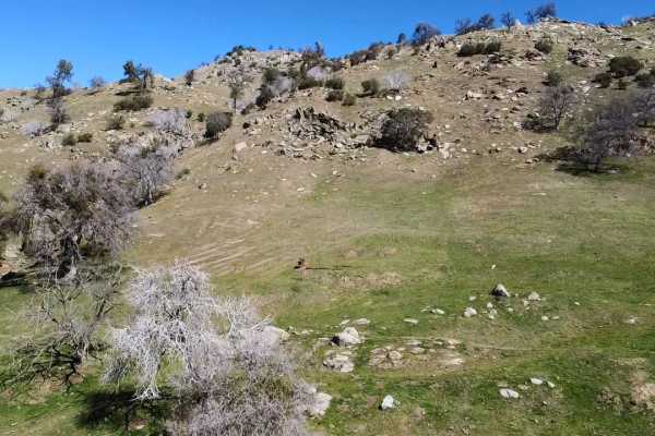
Cow Flat
Cow Flat Road is a moderately challenging, 14.4-mile dirt route in Sequoia National Forest, ideal for intermediate offroaders seeking a thrilling ridge-line drive with dramatic canyon views. This narrow, unpaved track features steep grades and a single-vehicle-wide path with limited passing points, ...
Learn more about Cow Flat
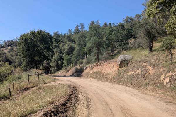
Coffee Creek Road
Coffee Creek Road is a relaxed and flat connector trail linking Poso Road and Poso Flat Road, following the course of Coffee Creek through a corridor of grass and large oak trees. The hard-packed graded surface and relatively flat terrain make this one of the most accessible trails in the network an...
Learn more about Coffee Creek Road
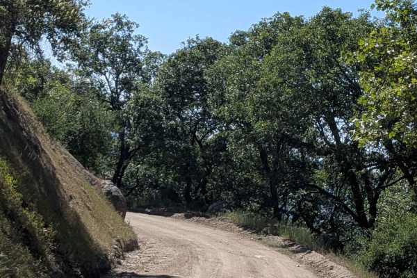
Poso Road
Poso Road departs from Rancheria Road South and drops nearly 1,500 feet in just 2 miles along a winding shelf road overlooking a small canyon. Short patches of rough asphalt appear at heavy water runoff sections along the otherwise dirt surface, remnants of earlier road hardening efforts to manage d...
Learn more about Poso Road
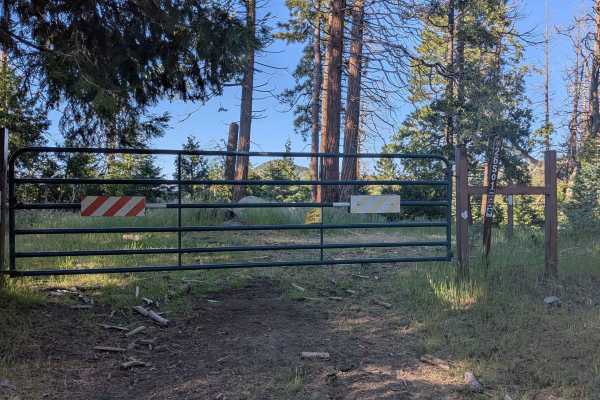
Greenhorn Mountain West - FS 26S01
Greenhorn Mountain West (FS 26S01) cuts through dense pine forest within Sequoia National Forest, running along a shelf road with views of the valley below and surrounding mountaintops. The tree canopy is thick throughout, with overgrown low-hanging branches making frequent contact with taller vehic...
Learn more about Greenhorn Mountain West - FS 26S01
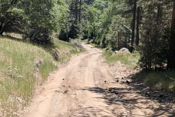
Davis Loop - FS 26S13/26S30
Davis Loop (FS 26S13 & FS 26S30) departs from Rancheria Road South, crosses back over the same trail mid-route, and continues east through open grass and pine forest within Sequoia National Forest. Large boulders punctuate the landscape along the way. A barbed wire fence runs alongside portions of t...
Learn more about Davis Loop - FS 26S13/26S30
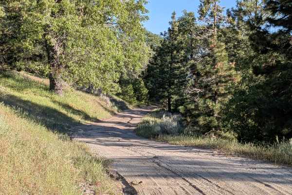
Brown's Mill - FS 26S04
Brown's Mill (FS 26S04) departs from Rancheria Road South and winds through a thick stand of pine and other trees within Sequoia National Forest. A partial shelf road section opens up views of the valleys below and the mountains in the distance before the forest closes back in. Downed branches are p...
Learn more about Brown's Mill - FS 26S04
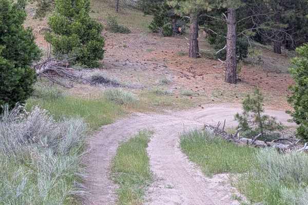
Eagle - FS 27S13
Eagle (FS 27S13) branches off Brown's Mill and winds through dense pine trees and grasses within Sequoia National Forest. Shelf road sections break open the canopy at intervals, revealing views of the mountains and valley below before the forest closes back in. Hawks and ground birds, including quai...
Learn more about Eagle - FS 27S13
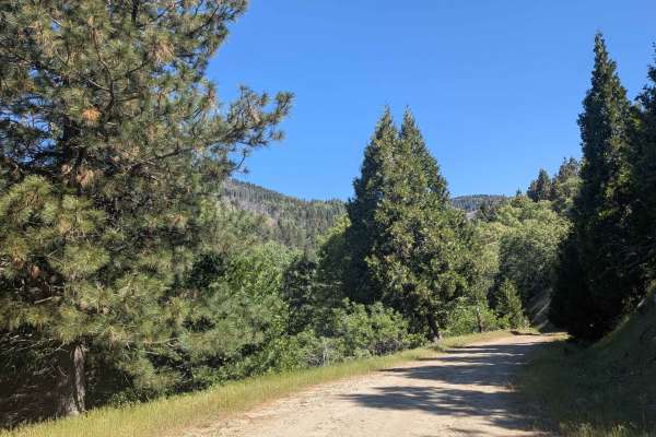
Basket Pass - FS 26S05
Basket Pass (FS 26S05) departs from Rancheria Road South and runs along a shelf road through pine forest within Sequoia National Forest, with beautiful views opening up over the valley below toward the Bakersfield area. Occasional large boulders punctuate the pine-lined corridor. The trail crosses P...
Learn more about Basket Pass - FS 26S05
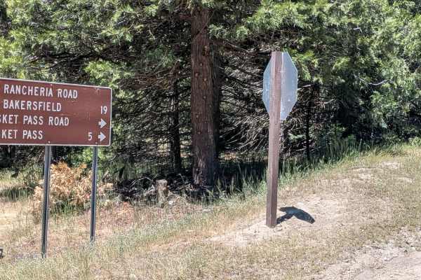
Pettit - FS 26S37
Pettitt (FS 26S03) runs 6 miles from Basket Pass down to Rancheria Road South, dropping 900 feet and gaining 437 feet along a varied course through the thick Sequoia National Forest. The trail is lined with a mix of pine and oak trees, with occasional boulder fields adding visual interest along the ...
Learn more about Pettit - FS 26S37
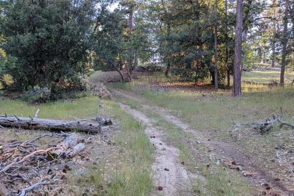
Lone Star - FS 26S24
Lone Star (FS 26S24) winds through a grassy hill area surrounded by trees within Sequoia National Forest, connecting Brown's Mill to the Mayflower 4x4 Trail. The landscape has an open, pastoral quality with grassy clearings breaking up the tree cover along the way. Evidence of trail maintenance is v...
Learn more about Lone Star - FS 26S24
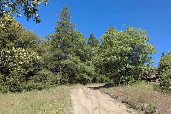
Evans Flat - FS 32E53A
Evans Flat (FS 32E53A) runs north to south from Evans Flat Campground, tracing a ridgetop course through the thick Sequoia National Forest. The dense canopy closes in along much of the route, with low-hanging branches posing a challenge for taller vehicles. A wide shelf road section opens up the sce...
Learn more about Evans Flat - FS 32E53A
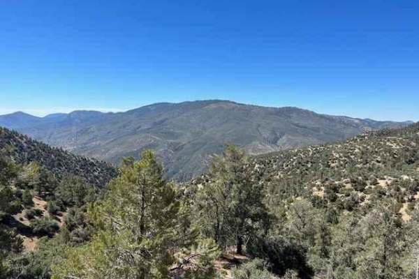
Tecuya Mountain Run
Fun trail that takes you to the top of Tecuya Mountain with great 360-degree views of the area. Access via Cold Springs Canyon trail (20W04) for a great uphill warm-up. Once leaving the peak of Tecuya Mountain and heading east, this trail (19W01) is only accessible by dirt bike due to width-limiting...
Learn more about Tecuya Mountain Run
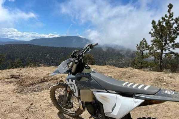
West Tecuya OHV
This is a great section of single track in the Los Padres National Forest north of Frazier Park. Access via Cold Springs Canyon trail (20W04) for a great uphill warm-up. This trail is only accessible by dirt bike due to width-limiting gates. Heading easterly on the trail you can also access several ...
Learn more about West Tecuya OHV
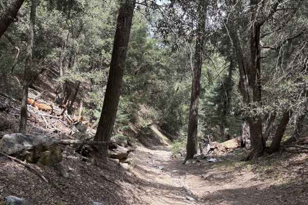
Salt Creek
This is a descending trail down to a very isolated campground with two fire pits. The entire trail is in a rocky narrow drainage, with lots of fallen trees and by the time you are in the descent, there is no where to turn around until you are close to the camp site. The trail is not very difficult, ...
Learn more about Salt Creek
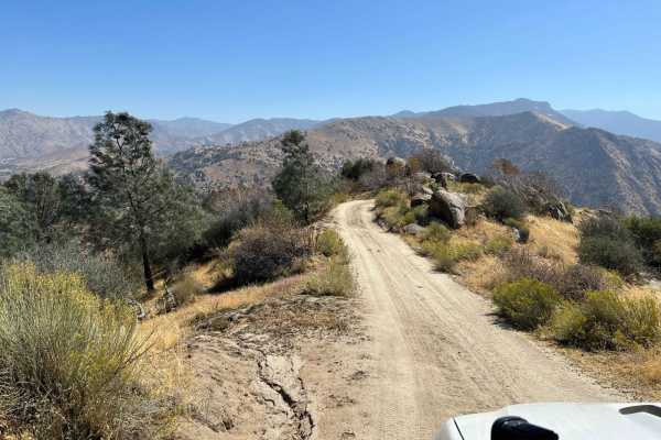
Freeway Ridge 4WD
This is a more steep and narrow trail coming up from the freeway leading into Lake Isabella, making a nice circuit if visiting the area. There are a couple more interesting sections, requiring 4-low to surmount. It is easier to travel down from another trail, but the climb will not be boring and the...
Learn more about Freeway Ridge 4WD
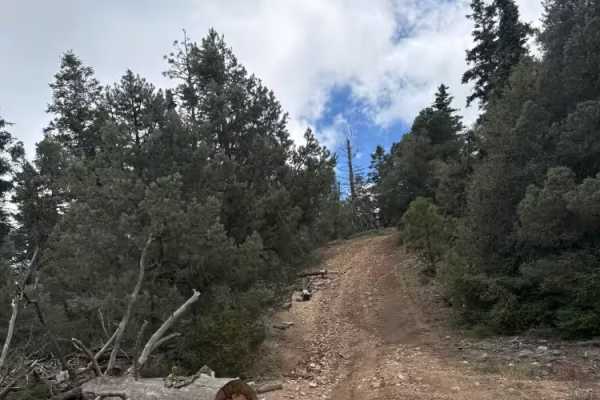
FS 22W12
A nice forested Jeep-style trail between Marian Campground overlook and FS 9N34. It winds through a ridge with one or two short climbs of 15-17 degrees and through a couple of tighter paths cut through felled trees. It may be a little tight for a full-size truck, but a mid-size truck had no issues. ...
Learn more about FS 22W12
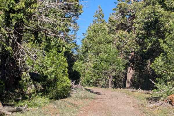
West Evans - FS 31E62
West Evans (FS 31E62) departs from Rancheria Road South and climbs steadily through dense pine forest within Sequoia National Forest. The trail is extremely narrow, barely one vehicle wide, with low-hanging branches that will make contact with taller vehicles throughout. Evidence of recent forest fi...
Learn more about West Evans - FS 31E62
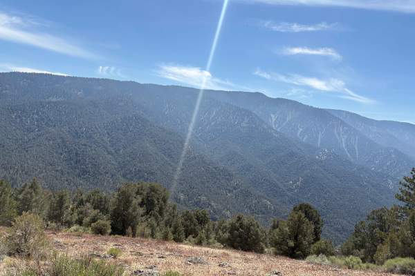
West Tecuya - FS 9N19
A straightforward dirt road following the south side of the mountain, offering some great views of Cuddy Valley. This ends at a dirt circle at the mountain top with some small foot or bike trails afterwards, and is a nice palate cleanser after a few of the more narrow trips through the drainage road...
Learn more about West Tecuya - FS 9N19
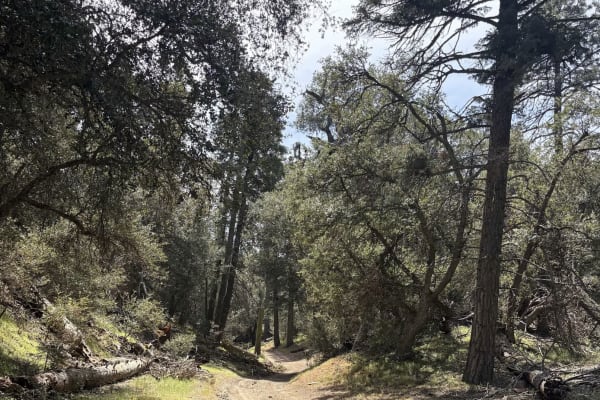
Cherry Creek - FS 20W14
Descending the road down to Cherry Creek campsite, where there are two fire pits and very peaceful scenery. This road follows the drainage down to the campsite and has one steeper descent at 18 degrees. A slower but calm trail, sure to get you away from the main path. The road ends at the campground...
Learn more about Cherry Creek - FS 20W14
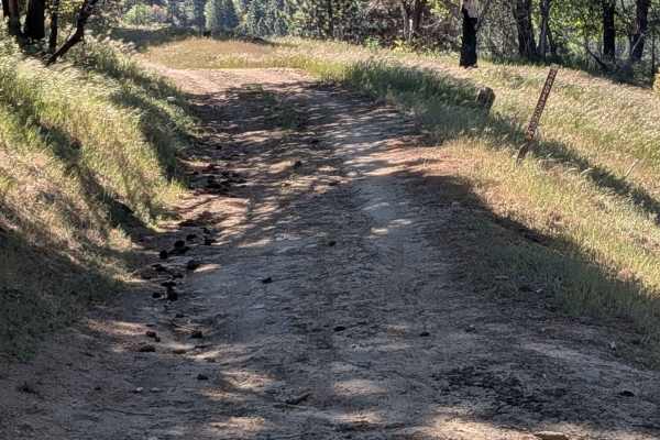
Little Poso Creek - FS 26S12
Little Poso Creek (FS 26S12) climbs over 700 feet in just under 2 miles, winding through a large stand of pine trees within Sequoia National Forest, with evidence of the 2021 French Fire visible throughout. The shelf road route meanders through the hills, delivering beautiful views of grass meadows ...
Learn more about Little Poso Creek - FS 26S12
ATV trails near Rexland Acres, California
Explore ATV-friendly trails near you. These trails are accessible for vehicles up to 50 inches wide, perfect for ATVs and smaller off-road machines.
Cow Flat
Cow Flat Road is a moderately challenging, 14.4-mile dirt route in Sequoia National Forest, ideal for intermediate offroaders seeking a thrilling ridge-line drive with dramatic canyon views. This narrow, unpaved track features steep grades and a single-vehicle-wide path with limited passing points, ...
Learn more about Cow Flat
Coffee Creek Road
Coffee Creek Road is a relaxed and flat connector trail linking Poso Road and Poso Flat Road, following the course of Coffee Creek through a corridor of grass and large oak trees. The hard-packed graded surface and relatively flat terrain make this one of the most accessible trails in the network an...
Learn more about Coffee Creek Road
Poso Road
Poso Road departs from Rancheria Road South and drops nearly 1,500 feet in just 2 miles along a winding shelf road overlooking a small canyon. Short patches of rough asphalt appear at heavy water runoff sections along the otherwise dirt surface, remnants of earlier road hardening efforts to manage d...
Learn more about Poso Road
Greenhorn Mountain West - FS 26S01
Greenhorn Mountain West (FS 26S01) cuts through dense pine forest within Sequoia National Forest, running along a shelf road with views of the valley below and surrounding mountaintops. The tree canopy is thick throughout, with overgrown low-hanging branches making frequent contact with taller vehic...
Learn more about Greenhorn Mountain West - FS 26S01
UTV/side-by-side trails near Rexland Acres, California
Find UTV and side-by-side trails near you. These trails accommodate vehicles up to 60 inches wide, ideal for UTVs, side-by-sides, and wider off-road rigs.
Coffee Creek Road
Coffee Creek Road is a relaxed and flat connector trail linking Poso Road and Poso Flat Road, following the course of Coffee Creek through a corridor of grass and large oak trees. The hard-packed graded surface and relatively flat terrain make this one of the most accessible trails in the network an...
Learn more about Coffee Creek Road
Poso Road
Poso Road departs from Rancheria Road South and drops nearly 1,500 feet in just 2 miles along a winding shelf road overlooking a small canyon. Short patches of rough asphalt appear at heavy water runoff sections along the otherwise dirt surface, remnants of earlier road hardening efforts to manage d...
Learn more about Poso Road
Greenhorn Mountain West - FS 26S01
Greenhorn Mountain West (FS 26S01) cuts through dense pine forest within Sequoia National Forest, running along a shelf road with views of the valley below and surrounding mountaintops. The tree canopy is thick throughout, with overgrown low-hanging branches making frequent contact with taller vehic...
Learn more about Greenhorn Mountain West - FS 26S01
Davis Loop - FS 26S13/26S30
Davis Loop (FS 26S13 & FS 26S30) departs from Rancheria Road South, crosses back over the same trail mid-route, and continues east through open grass and pine forest within Sequoia National Forest. Large boulders punctuate the landscape along the way. A barbed wire fence runs alongside portions of t...
Learn more about Davis Loop - FS 26S13/26S30
The onX Offroad Difference
onX Offroad combines trail photos, descriptions, difficulty ratings, width restrictions, seasonality, and more in a user-friendly interface. Available on all devices, with offline access and full compatibility with CarPlay and Android Auto. Discover what you're missing today!
Open Trail Map