
Dirt Bike Trails
Near Raymond, Washington
Explore All Dirt Bike Trails Near Raymond, Washington
Dirt Bike Trails Near Raymond, Washington
Discover the best dirt bike trails near you. Browse trail maps, check difficulty ratings, and find your next adventure — whether you're looking for a quick ride or an all-day expedition.
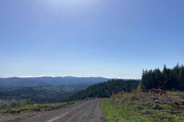
Willapa Hills
The Willapa hills are located within Pacific County, Washington. This trail runs through DNR commercial forestland and gives you the opportunity to see the beauty of the Willapa Hills. This trail is easy, primarily consisting of well maintained gravel logging roads with the occasional opportunity to...
Learn more about Willapa Hills
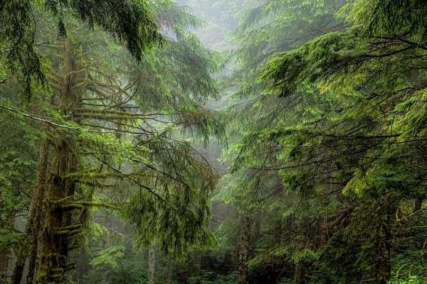
A Line
Off the main trail, you will hit A Line which ends at G Line and exits the large network of trails. About half way through the trail A line turns into G Line. This trail offers a more beautiful pathway going through thick forested growth and lichen-covered trees. The trail remains a well-groomed gra...
Learn more about A Line
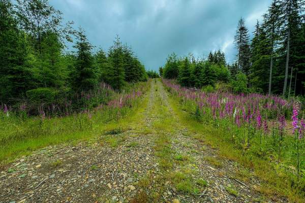
Radar Mainline
Radar Mainline is that main trail that has many offshoots to other trails within 30 minutes of Long Beach, WA. This is a relatively well groomed gravel road with few potholes and small patches of rocky areas. 2WD friendly off the main road. Plentiful campsites spotted but some required 4x4 to access...
Learn more about Radar Mainline
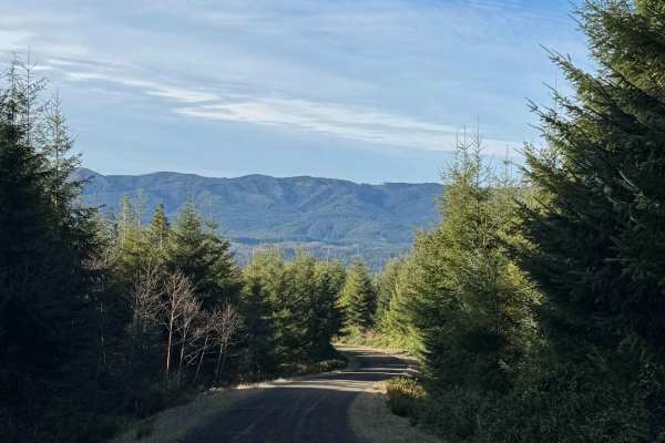
Snag and Western Lake
This route takes you to two small lakes in the forest of the Willapa Hills. There is a steady and gradual incline until you level out at the top, where the lakes are. The road is mostly gravel mixed with some dirt, and there are several deep potholes that were full of water, as well as washboard sec...
Learn more about Snag and Western Lake
Capitol Forest South Trail
This trail is mostly a maintained road with gravel on top of dirt. There are narrow in most spots for one vehicle and side pull-offs, often for on coming vehicles. Roads are up and down with curves and cliffsides as you gain elevation. There are many side roads to explore, camp, or take in the views...
Learn more about Capitol Forest South Trail
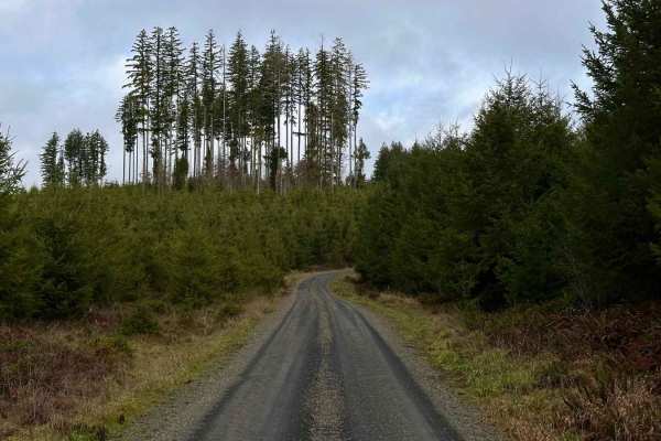
Capitol Forest D-1000
The D-1000 splits off the main paved D-line and takes you into the heart of Capitol Forest. Immediately as you turn onto the road, you'll start to gain elevation as you look down on the Cedar River. The trees are tagged with CB Channel 5, so be mindful of big rigs that may be on the trail (different...
Learn more about Capitol Forest D-1000
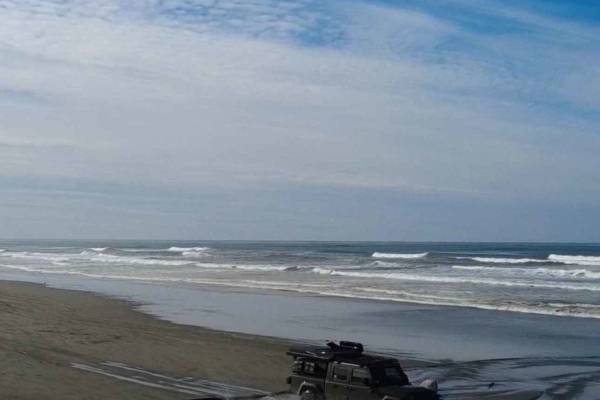
Long Beach
This is a 23-mile stretch of beach where it is allowed to drive a motor vehicle. Starting from the arch and sign for "Long Beach, The World's Longest Beach," you travel north to the end of the peninsula. The sand is loose and deep in some places, and it requires 4x4, and airing down your tires makes...
Learn more about Long Beach
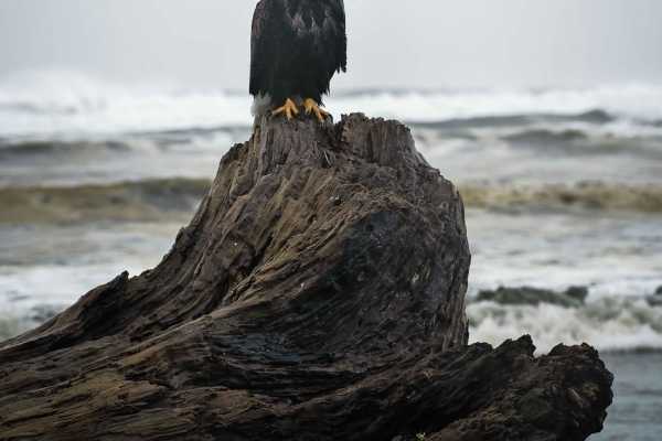
Ocean Shores Beach Highway
This is an original beach highway that is typically no longer used as such. Please pay attention to posted signs as there are time periods (generally spring/summer) when motor vehicles are not allowed in some sections. This trail-esq highway is solely a beach with minimal rocks. There are spots of h...
Learn more about Ocean Shores Beach Highway
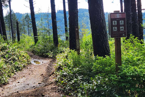
Larch Mountain Trail West
The Larch Mountain Trail has two sections - East and West. The West portion has had heavy logging recently, which cut the trail off, requiring traveling on a forest road for a little under three-quarters of a mile to get between the two sections of the West trail. There are several trail crossings o...
Learn more about Larch Mountain Trail West
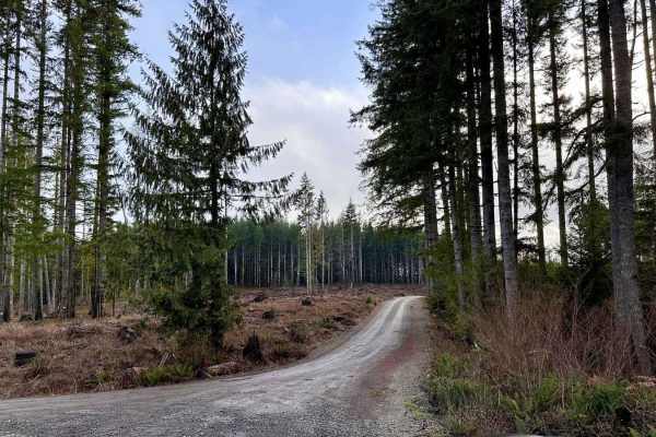
Capitol Forest D-4000
Branching off the C-Line at Mount Molly Campground, the D-4000 road is a very well-traveled hard dirt-packed road. There are only a few potholes along this route that can easily be avoided by driving around them. The campground itself seems to have been cleared for logging and the spur road to the c...
Learn more about Capitol Forest D-4000
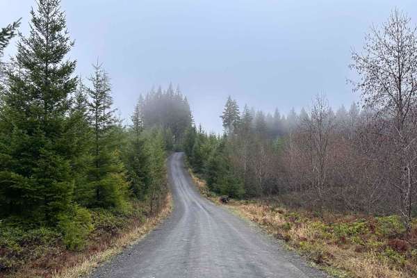
Capitol Forest E-Line
The E-Line trail cuts east to west through Capitol State Forest. Starting off of Bordeaux Paved Road, the E-Line is a hard-pack dirt road through typical Pacific Northwest forest. This wooded road has plenty of spur trails to explore; a few of the trails have ditches to cross but most are easy to tu...
Learn more about Capitol Forest E-Line
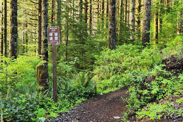
Divide Trail South
The Divide Trail South brings you from the Rock Candy side of Capitol Forest to the start of the Waddell Basin side. This trail has diverse terrain, some challenging obstacles for new riders, but is passable by most riders with basic skills. The trail crosses over a couple of bridges and through the...
Learn more about Divide Trail South
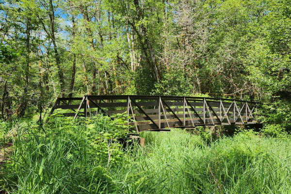
North Rim Trail #3
Prepare for water, mud, dust, roots and rocks. This trail has it all. In deep, thick forest so it stays wet for several weeks after a good rain. Mud is very slick red clay. Sections of fast flow trail and tight technical sections with small rock climbs and tall tree roots. This will take you over a ...
Learn more about North Rim Trail #3
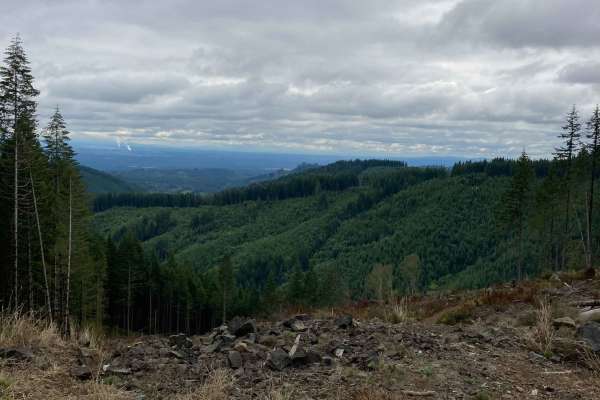
East Waddell Basin
Easternmost trail that runs between Middle Waddell, the Southernmost staging area, and Rock Candy, the Northernmost staging area. The trail runs through fast flowy wooded sections, along with up and down switchbacks in the trees and out in the clear cuts. The trail is mostly composed of clay dirt, w...
Learn more about East Waddell Basin
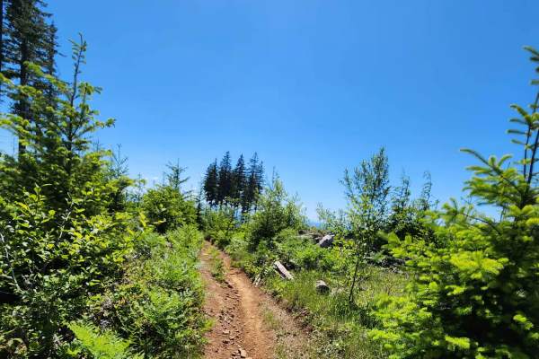
Twin Peaks Trail
The Twin Peaks trail takes you up and down the mountains of Capitol Forest. Through thick treed forest, over exposed dirt and rocky terrain. The trail is an intermediate enduro-style trail. A mix of flow and slightly more technical terrain for a rider looking for a little more challenge without gett...
Learn more about Twin Peaks Trail
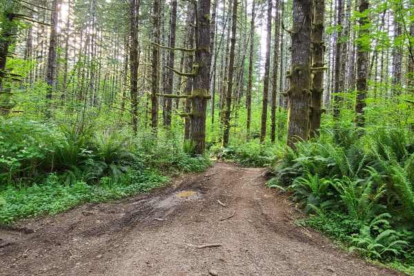
Capitol Forest Tour
This is an easy trail if you stay on the main tracks--mostly gravel roads, with some asphalt mixed in. There are plenty of places to venture off the main track and find mud, tight technical spots, and some camp areas. It gets tight and slippery back there; I advise going with another vehicle or havi...
Learn more about Capitol Forest Tour
West Waddell Basin Trail
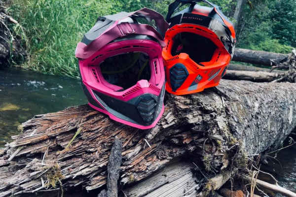
This is a great beginners' trail and still fun for novices. It follows a little bit of the creek and has a nice little spot to have a quick snack while sitting next to the creek. This will lead to other trails that lead into the capitol forest and also lead into East Waddell Basin Trail and back to ...
Learn more about West Waddell Basin Trail
Slide
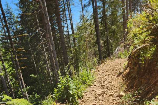
Short enduro-style trail that takes you through thick forest and onto the exposed mountainside. Rocks are scattered throughout the trail, making it challenging for new riders but perfect for a beginner-intermediate rider looking for a little more challenge. Sections of fast flow and slower technical...
Learn more about Slide

Larch Trail East
Larch Trail East connects the Rock Candy side of Capitol Forest with the intersection of Twin Peaks and Larch Trail West. Trail is flowy and weaves through forest and along an exposed ridge. Beautiful views of Capitol Forest in several places. Trail is easy enough for a beginner but can be ridden qu...
Learn more about Larch Trail East
C-8000
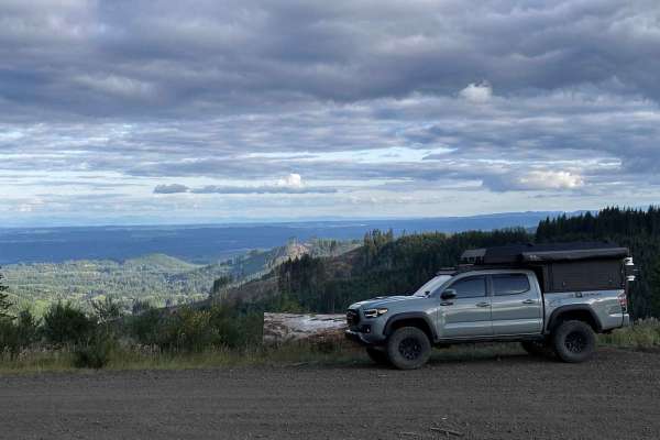
The C-8000 Trail serves as a popular access route into and out of Capitol Forest from the east side and is well-suited for a variety of outdoor recreation activities. Open year-round, the trail can be enjoyed in all seasons, including winter when snow adds to the experience. The road is wide and wel...
Learn more about C-8000
ATV trails near Raymond, Washington
Explore ATV-friendly trails near you. These trails are accessible for vehicles up to 50 inches wide, perfect for ATVs and smaller off-road machines.
Willapa Hills
The Willapa hills are located within Pacific County, Washington. This trail runs through DNR commercial forestland and gives you the opportunity to see the beauty of the Willapa Hills. This trail is easy, primarily consisting of well maintained gravel logging roads with the occasional opportunity to...
Learn more about Willapa Hills
A Line
Off the main trail, you will hit A Line which ends at G Line and exits the large network of trails. About half way through the trail A line turns into G Line. This trail offers a more beautiful pathway going through thick forested growth and lichen-covered trees. The trail remains a well-groomed gra...
Learn more about A Line
Radar Mainline
Radar Mainline is that main trail that has many offshoots to other trails within 30 minutes of Long Beach, WA. This is a relatively well groomed gravel road with few potholes and small patches of rocky areas. 2WD friendly off the main road. Plentiful campsites spotted but some required 4x4 to access...
Learn more about Radar Mainline
Snag and Western Lake
This route takes you to two small lakes in the forest of the Willapa Hills. There is a steady and gradual incline until you level out at the top, where the lakes are. The road is mostly gravel mixed with some dirt, and there are several deep potholes that were full of water, as well as washboard sec...
Learn more about Snag and Western Lake
UTV/side-by-side trails near Raymond, Washington
Find UTV and side-by-side trails near you. These trails accommodate vehicles up to 60 inches wide, ideal for UTVs, side-by-sides, and wider off-road rigs.
Willapa Hills
The Willapa hills are located within Pacific County, Washington. This trail runs through DNR commercial forestland and gives you the opportunity to see the beauty of the Willapa Hills. This trail is easy, primarily consisting of well maintained gravel logging roads with the occasional opportunity to...
Learn more about Willapa Hills
A Line
Off the main trail, you will hit A Line which ends at G Line and exits the large network of trails. About half way through the trail A line turns into G Line. This trail offers a more beautiful pathway going through thick forested growth and lichen-covered trees. The trail remains a well-groomed gra...
Learn more about A Line
Radar Mainline
Radar Mainline is that main trail that has many offshoots to other trails within 30 minutes of Long Beach, WA. This is a relatively well groomed gravel road with few potholes and small patches of rocky areas. 2WD friendly off the main road. Plentiful campsites spotted but some required 4x4 to access...
Learn more about Radar Mainline
Snag and Western Lake
This route takes you to two small lakes in the forest of the Willapa Hills. There is a steady and gradual incline until you level out at the top, where the lakes are. The road is mostly gravel mixed with some dirt, and there are several deep potholes that were full of water, as well as washboard sec...
Learn more about Snag and Western Lake
The onX Offroad Difference
onX Offroad combines trail photos, descriptions, difficulty ratings, width restrictions, seasonality, and more in a user-friendly interface. Available on all devices, with offline access and full compatibility with CarPlay and Android Auto. Discover what you're missing today!
Open Trail Map