
Dirt Bike Trails
Near Port Orford, Oregon
Explore All Dirt Bike Trails Near Port Orford, Oregon
Dirt Bike Trails Near Port Orford, Oregon
Discover the best dirt bike trails near you. Browse trail maps, check difficulty ratings, and find your next adventure — whether you're looking for a quick ride or an all-day expedition.
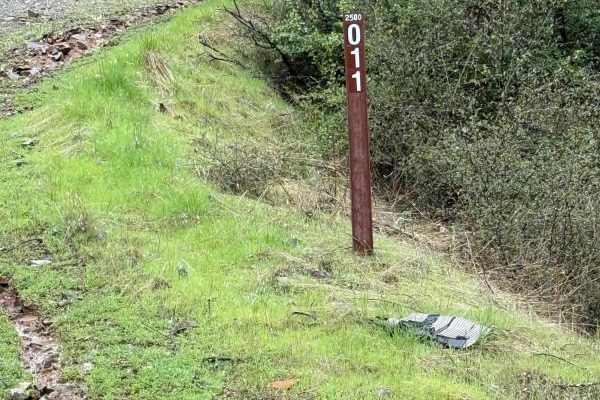
Taylor Ridge Road
This trail is best ridden during the summer. It's a great road even in the rain. Lots of trees are down on the road, depending on the time of year, as you will see in the pictures. This road is about 2 miles up Taylor Creek Road. There are a couple of good overnight camping spots on this road, as we...
Learn more about Taylor Ridge Road
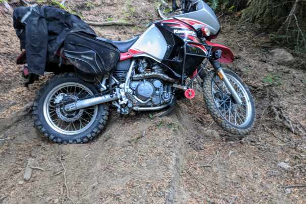
Dead Horse Revenge
This trail is a fun out-and-back route that offers great views and some fun terrain. Originally the trail connects back to Coos Bay Wagon road, however, aside from the trail becoming very difficult at the end of this route, it appears that RFP posted signs closing the trail to motor vehicles. Althou...
Learn more about Dead Horse Revenge
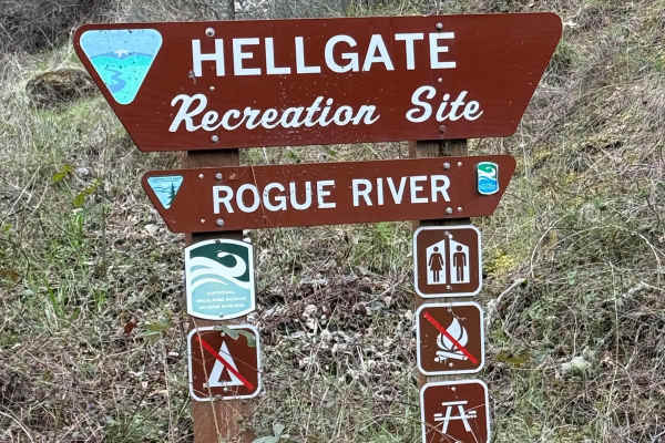
Hellgate Recreation Site
This is a nice trail that is definitely easier during the summer. The technical rating ranges from between a 1 to 3 in difficulty. There are some mud slides, but they are easy enough to get through, and the road ended at a good-sized washout. This trail goes through some beautiful country. The trail...
Learn more about Hellgate Recreation Site
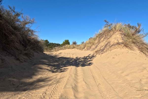
Bark OHV Trail - 1342
This 4-mile undulating sand track offers a dynamic North-South traverse through the inland section of the Oregon Dunes National Recreation Area. Running parallel to the coast but sheltered by the foredunes, the route connects the Horsefall and Old Bark OHV Staging Areas in the south to the Hauser Sa...
Learn more about Bark OHV Trail - 1342

Right Fork Hellgate Recreation Site
This is a gravel road with some middle-of-the-road washouts that you will have to straddle with your vehicle. Great overlook of the valley below and the Rogue River about halfway up. The trail is a bit overgrown from the winter. So if you're concerned about scratches may want to pick a different pat...
Learn more about Right Fork Hellgate Recreation Site
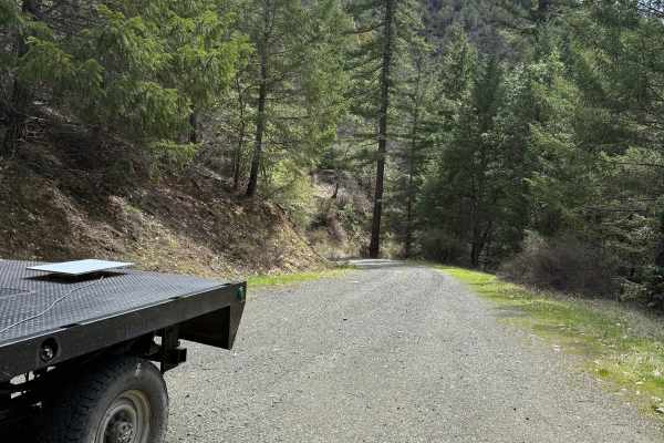
Lower Stratton Creek Road
This is a nice and easy drive. It is a gravel road with some low branches, but most full-size trucks will fit under them. There are no real washouts on this section, even with all the rain. The trail is pretty easy to drive most times of the year. The trail has a nice turnaround at the end.
Learn more about Lower Stratton Creek Road
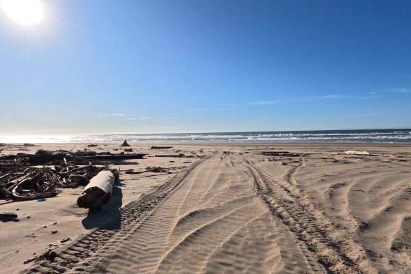
Hauser OHV Trail - 1341
The Hauser OHV Trail is a 2.4-mile sandy corridor that acts as a premier gateway from the sheltered coastal forest directly to the crashing surf of the Pacific Ocean. Beginning near the staging area kiosks, this wide, deeply rutted sand route winds westward from the Hauser Hill Campground through th...
Learn more about Hauser OHV Trail - 1341
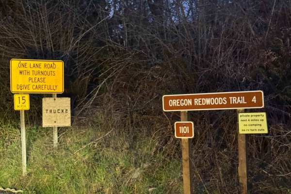
Oregon Redwoods Trail
When you turn onto Peavine Ridge, this is the start of the trail. You cross the bridge over the creek, and the road turns to dirt and gravel. The trail climbs at a steady grade with Private Property on both sides of the road until you cross into the Siskiyou National Forest. Once you enter the Natio...
Learn more about Oregon Redwoods Trail
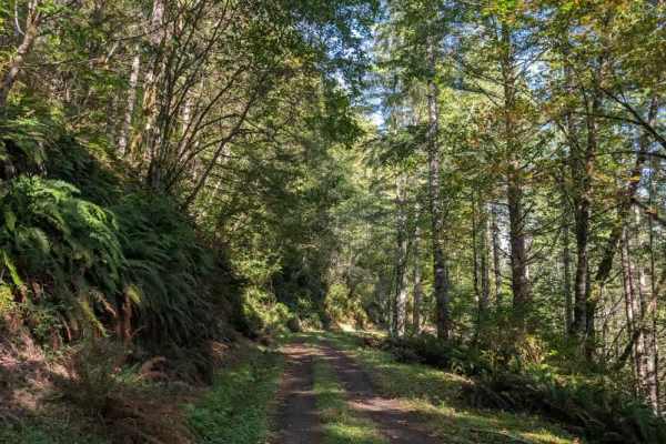
1100
This absolutely stunning trail follows a ridgeline with significant drop-offs, so use extra caution throughout. The road is quite narrow and steep in places, with a long downhill section followed by a steep climb on the return trip; take it easy on the descent and watch your brakes. A small side roa...
Learn more about 1100
Onion Mountain, Shan Creek
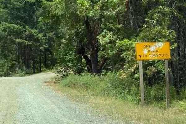
Onion Mountain is a great place to break away from the crowds in town and take in some beautiful scenery. If you're lucky, you might even see a bear or two. Most of the trails are open year-round; however, heavy snow can be expected in the winter, and there are spots where you can get cell phone rec...
Learn more about Onion Mountain, Shan Creek
Coast Guard OHV South Trail - 1343
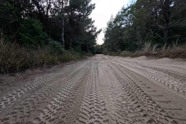
This 8.8-mile sandy corridor is a quintessential dune experience, serving as a primary North-South artery running parallel to the crashing Pacific Ocean. The route connects the northern 10 Mile OHV Trail to the southern hub of Horsefall Beach Campground, offering a continuous flow through the shifti...
Learn more about Coast Guard OHV South Trail - 1343
10 Mile OHV Trail
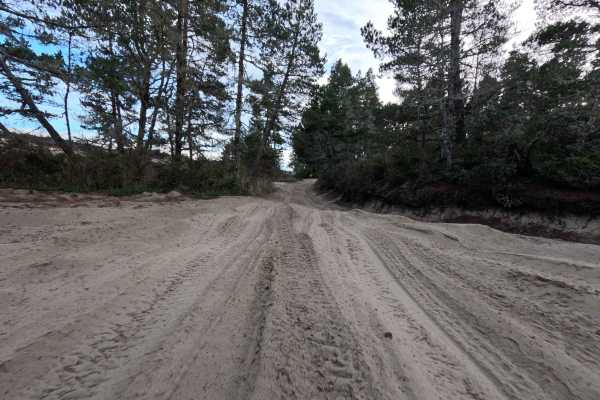
Despite its numeric moniker, which refers to the adjacent Tenmile Creek rather than its distance, this 1.6-mile sandy corridor acts as a vital gateway into the vast Oregon Dunes National Recreation Area. Launching from the popular Spinreel Staging Area and Campground, the route plunges travelers imm...
Learn more about 10 Mile OHV Trail
1400
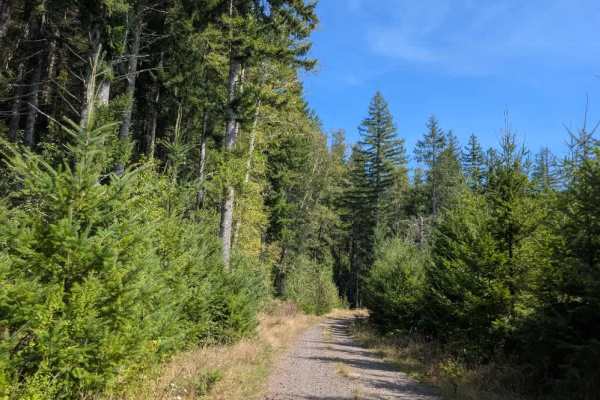
This absolutely stunning trail follows a ridgeline with significant drop-offs, so use extra caution throughout. The road is quite narrow and steep in places, with a long downhill section followed by a steep climb on the return trip. Take it easy on the descent and watch your brakes, especially after...
Learn more about 1400
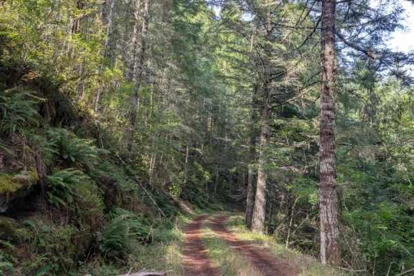
1420
This gravel trail begins with a steady descent before becoming significantly steeper farther along the route. The descent is a bit difficult, and the muddy surface can become very slippery, so low range is advisable for both the descent and the climb back up. Although the forest is generally wet, it...
Learn more about 1420

2270
This short but exciting trail features a series of steep descents and climbs, with muddy and slippery conditions that can become more challenging when wet. Near the bottom of one descent, a muddy rut typically forms before the trail climbs steeply again. Use extra caution on these sections, particul...
Learn more about 2270
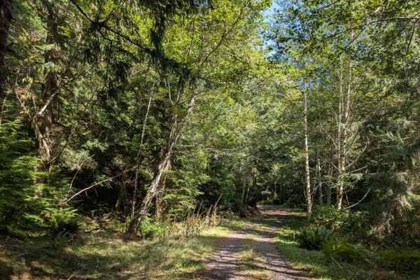
1440
This beautiful, well-maintained trail is a short, one-way-in, one-way-out route, so you must travel the same road in both directions. The trail descends all the way to the bottom, so be prepared for the climb back up on the return trip. At the bottom is the Jerry Phillips Reserve, a 58-acre grove of...
Learn more about 1440
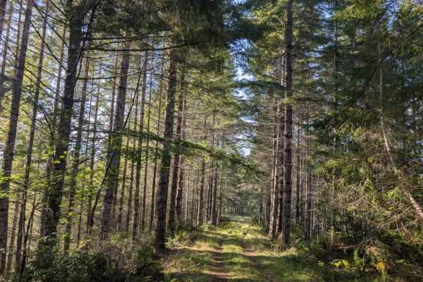
2170
This short but beautiful trail can be deceptive, with a steep descent followed by an equally challenging climb on the return trip. Although the road is gravel, dense greenery can make the route hard to see in places. Mud also cuts through the gravel, creating wet, slippery conditions. Use extra caut...
Learn more about 2170
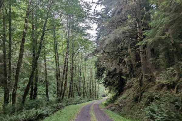
9000
This well-maintained but slippery trail follows a mountain ridgeline and descends steadily through the forest. The route drops approximately 600 feet over 1.5 miles, making for a fairly steep downhill drive. Take care on the descent, particularly where the surface becomes slippery. The trail eventua...
Learn more about 9000
1800
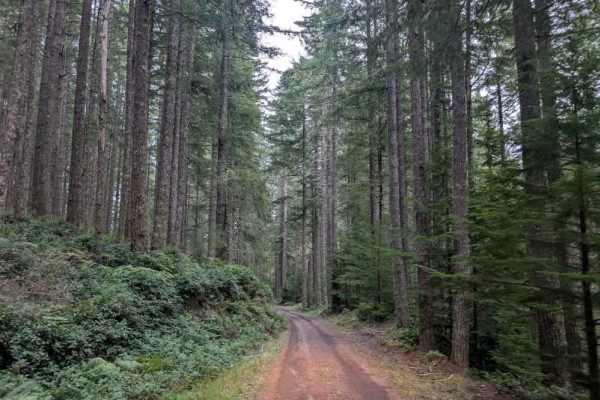
This beautiful, well-maintained trail is generally single-lane throughout and offers an impressive variety of forest scenery. The route begins in a narrow, dark forest before opening into more spacious woodland and climbing toward elevations of 1,800 feet and higher. From there, it descends into a l...
Learn more about 1800
2200
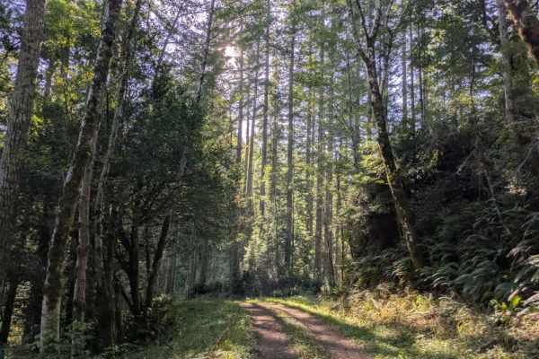
This well-maintained trail winds through the forest with a series of descents and climbs along the route. This trail starts with a long downhill section, though it is not particularly steep. The road is initially dry, but conditions become noticeably wetter farther along after turning around the oth...
Learn more about 2200
ATV trails near Port Orford, Oregon
Explore ATV-friendly trails near you. These trails are accessible for vehicles up to 50 inches wide, perfect for ATVs and smaller off-road machines.
Taylor Ridge Road
This trail is best ridden during the summer. It's a great road even in the rain. Lots of trees are down on the road, depending on the time of year, as you will see in the pictures. This road is about 2 miles up Taylor Creek Road. There are a couple of good overnight camping spots on this road, as we...
Learn more about Taylor Ridge Road
Dead Horse Revenge
This trail is a fun out-and-back route that offers great views and some fun terrain. Originally the trail connects back to Coos Bay Wagon road, however, aside from the trail becoming very difficult at the end of this route, it appears that RFP posted signs closing the trail to motor vehicles. Althou...
Learn more about Dead Horse Revenge
Hellgate Recreation Site
This is a nice trail that is definitely easier during the summer. The technical rating ranges from between a 1 to 3 in difficulty. There are some mud slides, but they are easy enough to get through, and the road ended at a good-sized washout. This trail goes through some beautiful country. The trail...
Learn more about Hellgate Recreation Site
Bark OHV Trail - 1342
This 4-mile undulating sand track offers a dynamic North-South traverse through the inland section of the Oregon Dunes National Recreation Area. Running parallel to the coast but sheltered by the foredunes, the route connects the Horsefall and Old Bark OHV Staging Areas in the south to the Hauser Sa...
Learn more about Bark OHV Trail - 1342
UTV/side-by-side trails near Port Orford, Oregon
Find UTV and side-by-side trails near you. These trails accommodate vehicles up to 60 inches wide, ideal for UTVs, side-by-sides, and wider off-road rigs.
Taylor Ridge Road
This trail is best ridden during the summer. It's a great road even in the rain. Lots of trees are down on the road, depending on the time of year, as you will see in the pictures. This road is about 2 miles up Taylor Creek Road. There are a couple of good overnight camping spots on this road, as we...
Learn more about Taylor Ridge Road
Dead Horse Revenge
This trail is a fun out-and-back route that offers great views and some fun terrain. Originally the trail connects back to Coos Bay Wagon road, however, aside from the trail becoming very difficult at the end of this route, it appears that RFP posted signs closing the trail to motor vehicles. Althou...
Learn more about Dead Horse Revenge
Hellgate Recreation Site
This is a nice trail that is definitely easier during the summer. The technical rating ranges from between a 1 to 3 in difficulty. There are some mud slides, but they are easy enough to get through, and the road ended at a good-sized washout. This trail goes through some beautiful country. The trail...
Learn more about Hellgate Recreation Site
Bark OHV Trail - 1342
This 4-mile undulating sand track offers a dynamic North-South traverse through the inland section of the Oregon Dunes National Recreation Area. Running parallel to the coast but sheltered by the foredunes, the route connects the Horsefall and Old Bark OHV Staging Areas in the south to the Hauser Sa...
Learn more about Bark OHV Trail - 1342
The onX Offroad Difference
onX Offroad combines trail photos, descriptions, difficulty ratings, width restrictions, seasonality, and more in a user-friendly interface. Available on all devices, with offline access and full compatibility with CarPlay and Android Auto. Discover what you're missing today!
Open Trail Map