Dead Horse Revenge

Total Miles3.1
Technical Rating
4Moderate
Best TimeSummer, Fall
Trail TypeHigh-Clearance 4x4 Trail
Accessible By
Open Trail Map

Trail Overview

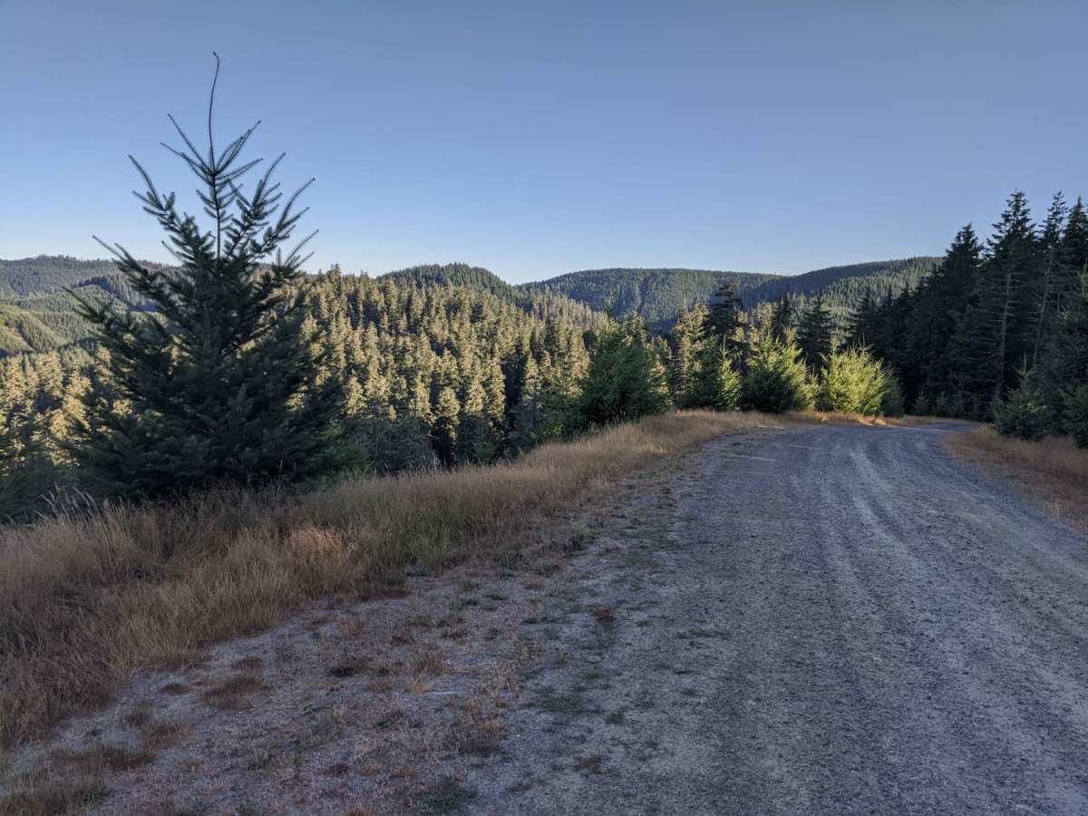
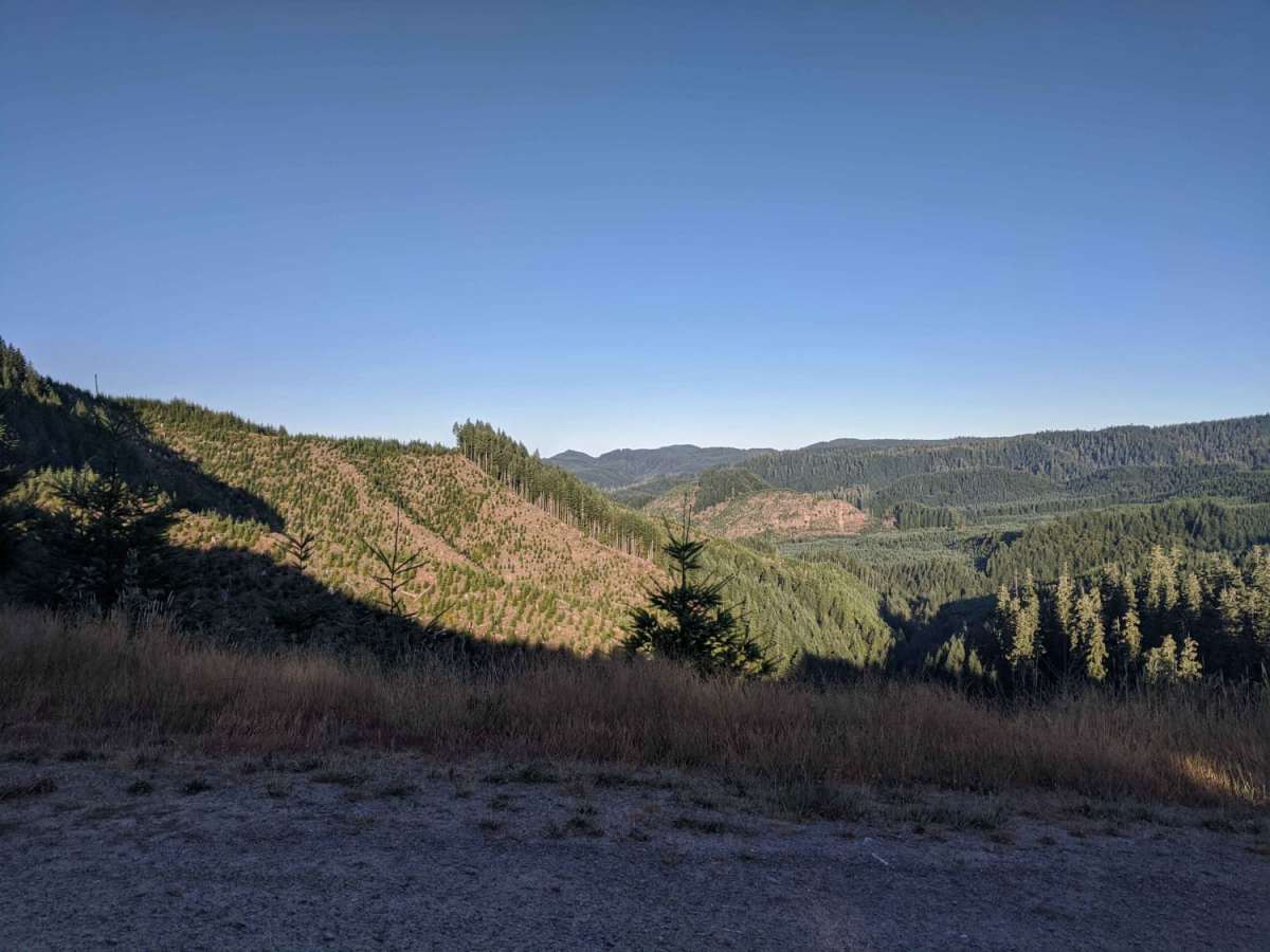
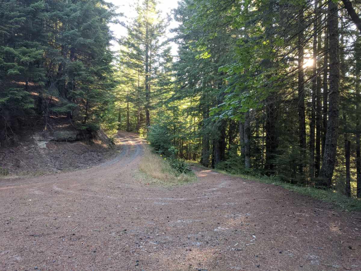
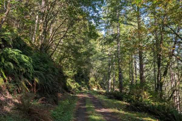
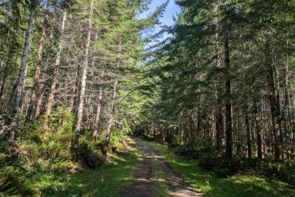
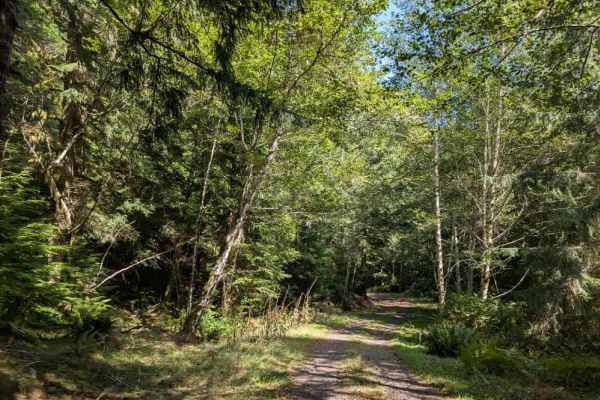
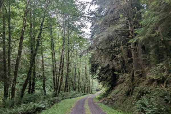
This trail is a fun out-and-back route that offers great views and some fun terrain. Originally the trail connects back to Coos Bay Wagon road, however, aside from the trail becoming very difficult at the end of this route, it appears that RFP posted signs closing the trail to motor vehicles. Although it is a short-and-sweet trail, it is worth checking out. Much of the trail is rated easy with a few points at the end bumping it up to Intermediate. The trail ends at the Tank Trap with a nice easy turnaround.

Photos of Dead Horse Revenge

Difficulty

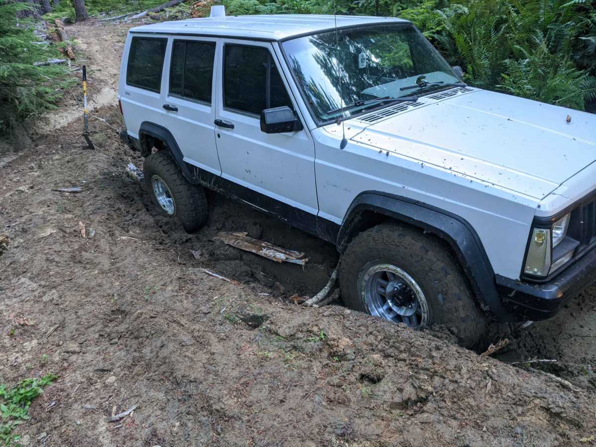
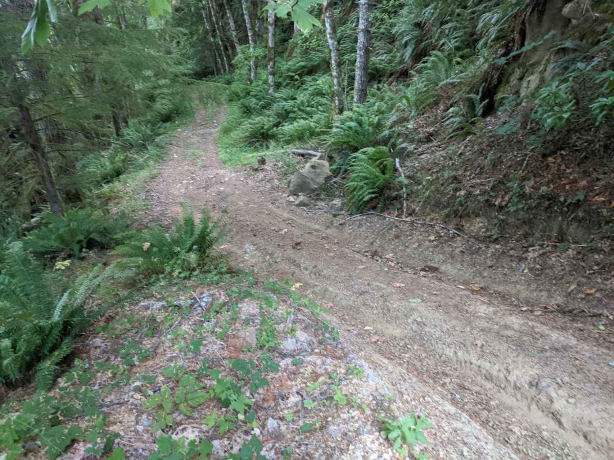
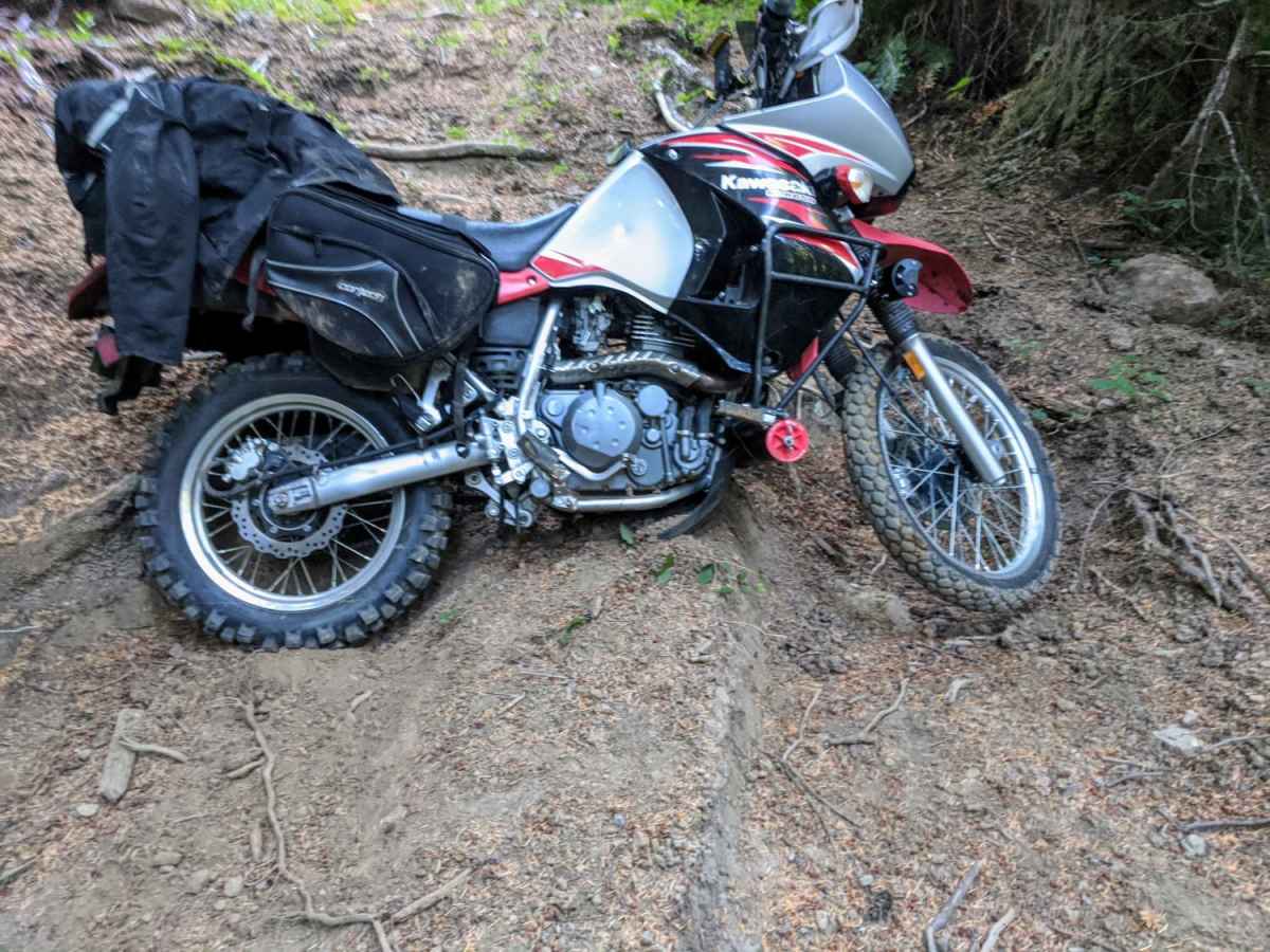
Most of the trail is easy dirt. There are some points with deep mud ruts and a few steep inclines/declines.

Technical Rating

4

Status Reports

Add Status Report
Mtrsgl .
Aug 22, 2025
Open
Rough/Deteriorated
The trail was gravel Road for 90%. Trees had lots of Pineneedles that made the trail like a car wash at times. Almost turned around because I wasn’t sure I wanted to do that to my paint. Two spots were closed obviously by the forest service and everybody had been going around. That was the only time I needed four-wheel-drive. Very tight turns around some trees at that point. I got to the southern end of the trail and thought I would come back on the gravel Forest Road, but there was a gate a mile up the road so I had to turn around and go back the same way I came in.

Dead Horse Revenge Trail can be accessed by the following ride types:

  • Single Track
  • 50 Inch
  • 60 Inch
  • High Clearance

Dead Horse Revenge Map

The onX Offroad Difference

onX Offroad combines trail photos, descriptions, difficulty ratings, width restrictions, seasonality, and more in a user-friendly interface. Available on all devices, with offline access and full compatibility with CarPlay and Android Auto. Discover what you're missing today!

Open Trail Map