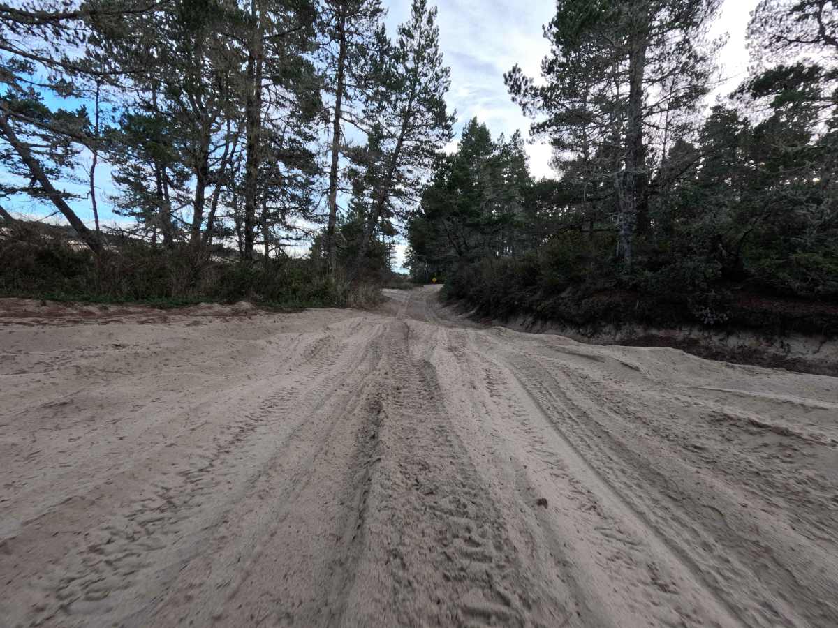
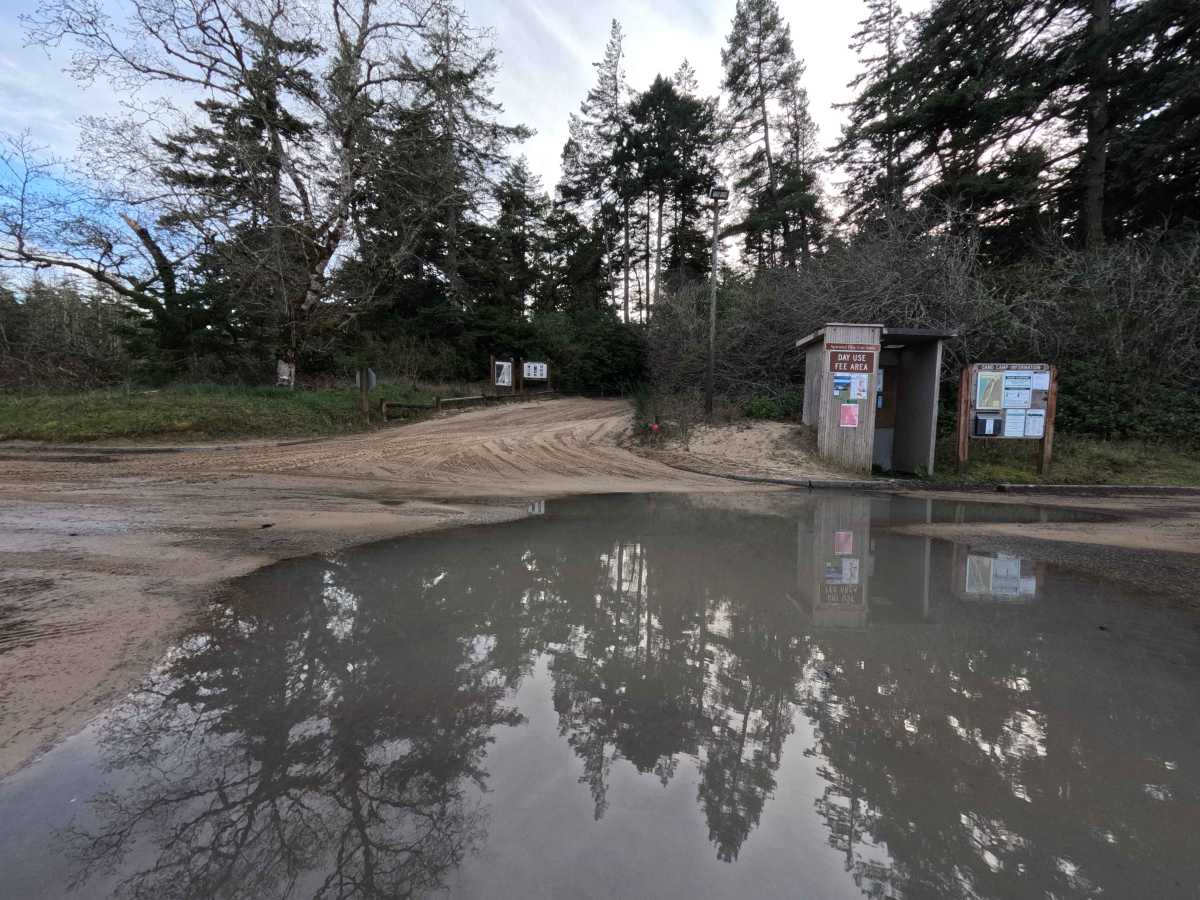
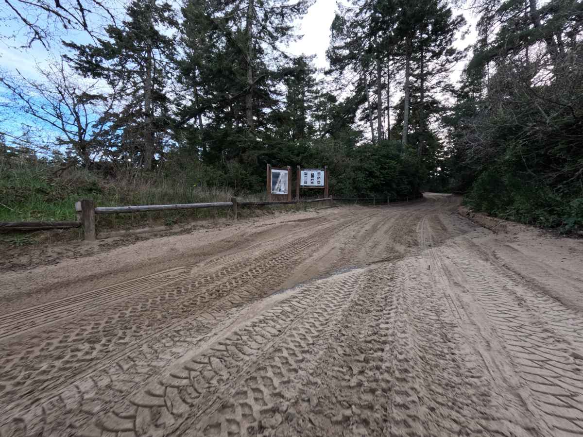
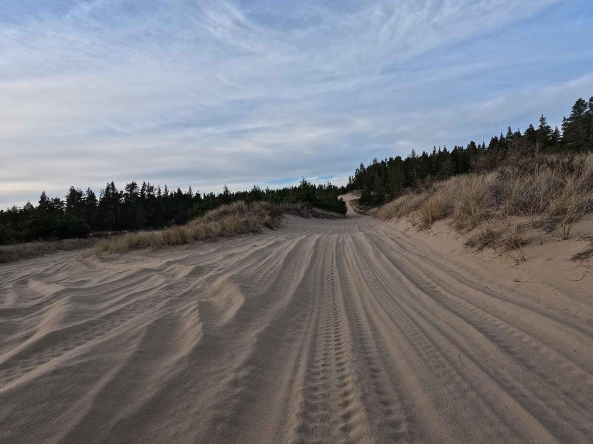
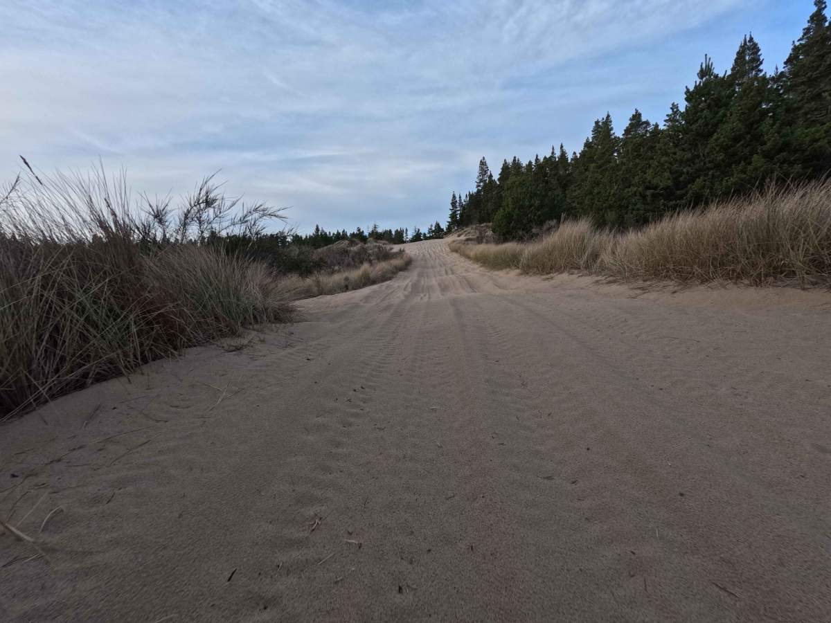
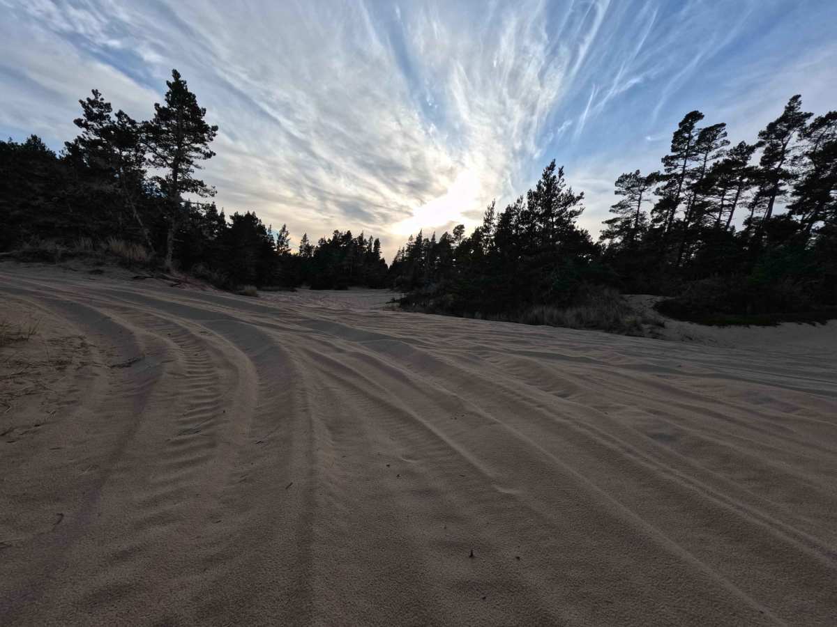
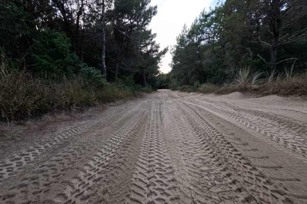
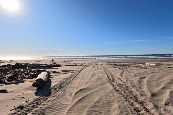
Trail Overview
Despite its numeric moniker, which refers to the adjacent Tenmile Creek rather than its distance, this 1.6-mile sandy corridor acts as a vital gateway into the vast Oregon Dunes National Recreation Area. Launching from the popular Spinreel Staging Area and Campground, the route plunges travelers immediately into the dynamic South Open Riding Area. The trail is an unmaintained, shifting track that carves through wind-sculpted dunes and sun-drenched coastal scrub. While navigation is loosely aided by orange diamond markers on white masonite stakes, the terrain is a playground of "choose-your-own-adventure" lines, featuring a complex spiderweb of side trails and bowls to explore. Along its short but intense length, explorers will find numerous marked sand campsites, providing a rare opportunity to camp amidst the rolling drifts before the trail seamlessly connects into the Coast Guard South and North 430 networks.
Difficulty
While only 1.6 miles long, the 10 Mile OHV Trail presents a consistent technical challenge due to the deep, yielding sand that can quickly bog down unprepared vehicles. The "3" rating reflects the mandatory requirement for drivers to air down their tires to 10-15 PSI to achieve the necessary flotation across the softest drifts. Maintaining momentum is critical, as is the ability to read the ever-changing "razorbacks" (sharp dune peaks) and slip faces. Success on this track requires specialized recovery gear—such as traction boards and a shovel—and an onboard air system for re-inflating tires once the sand adventure concludes.