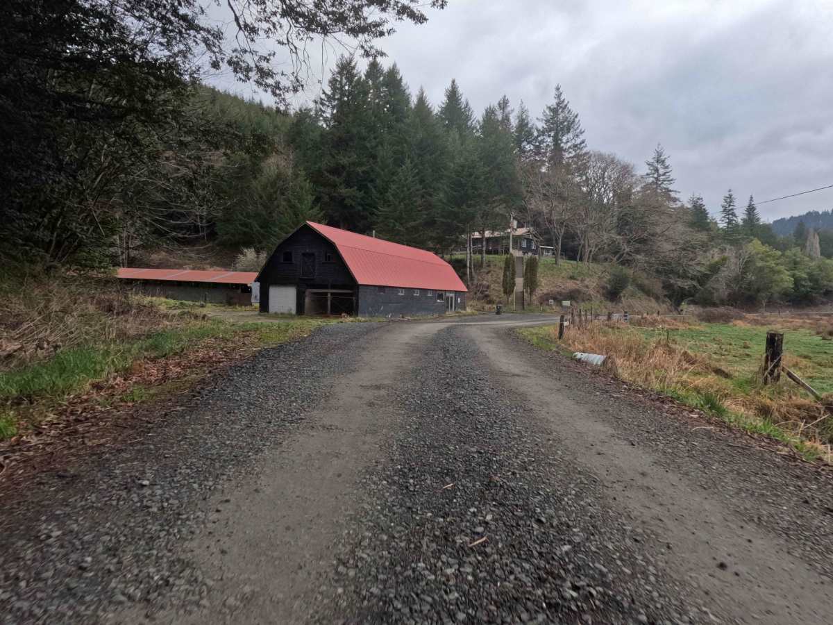
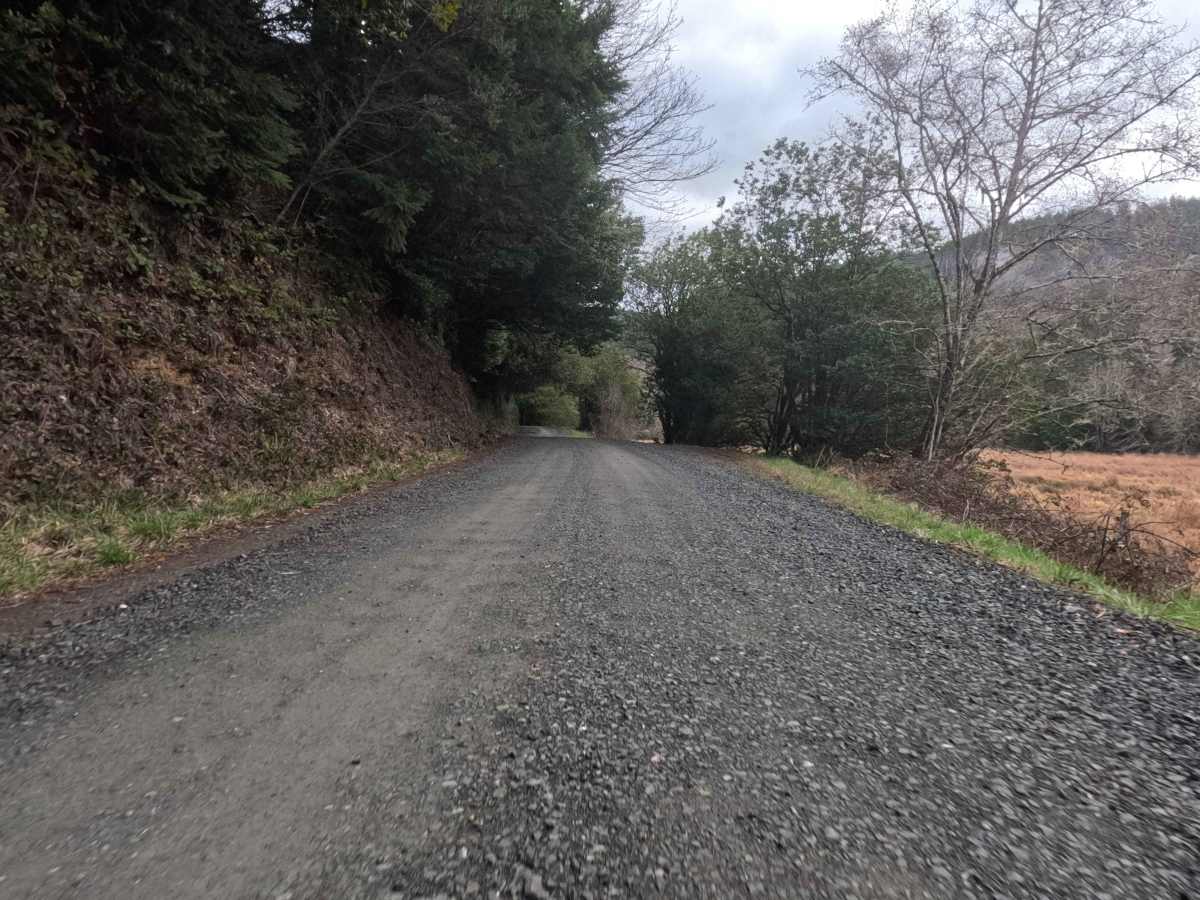
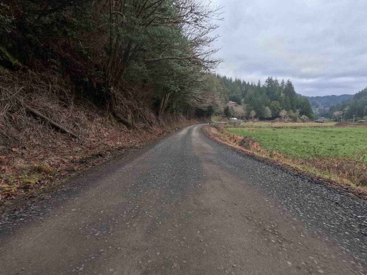
Trail Overview
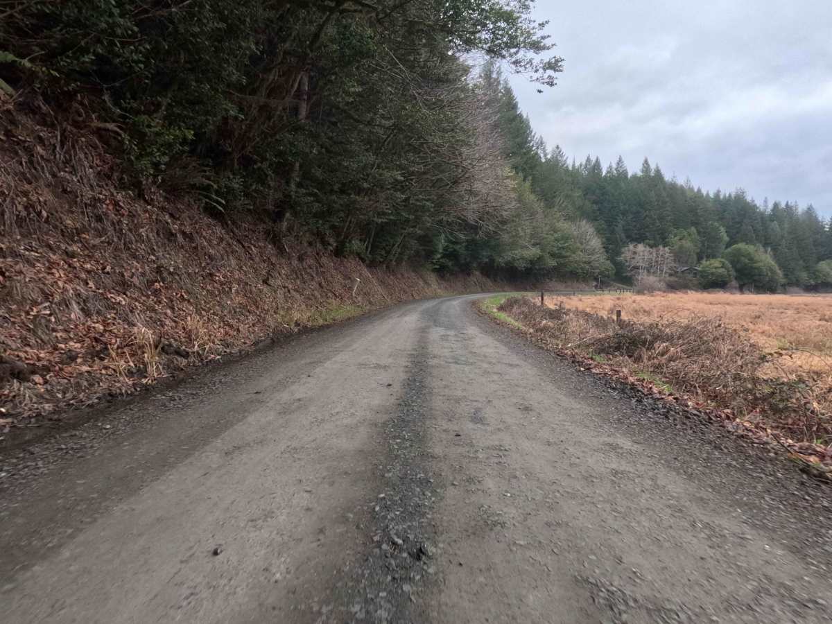
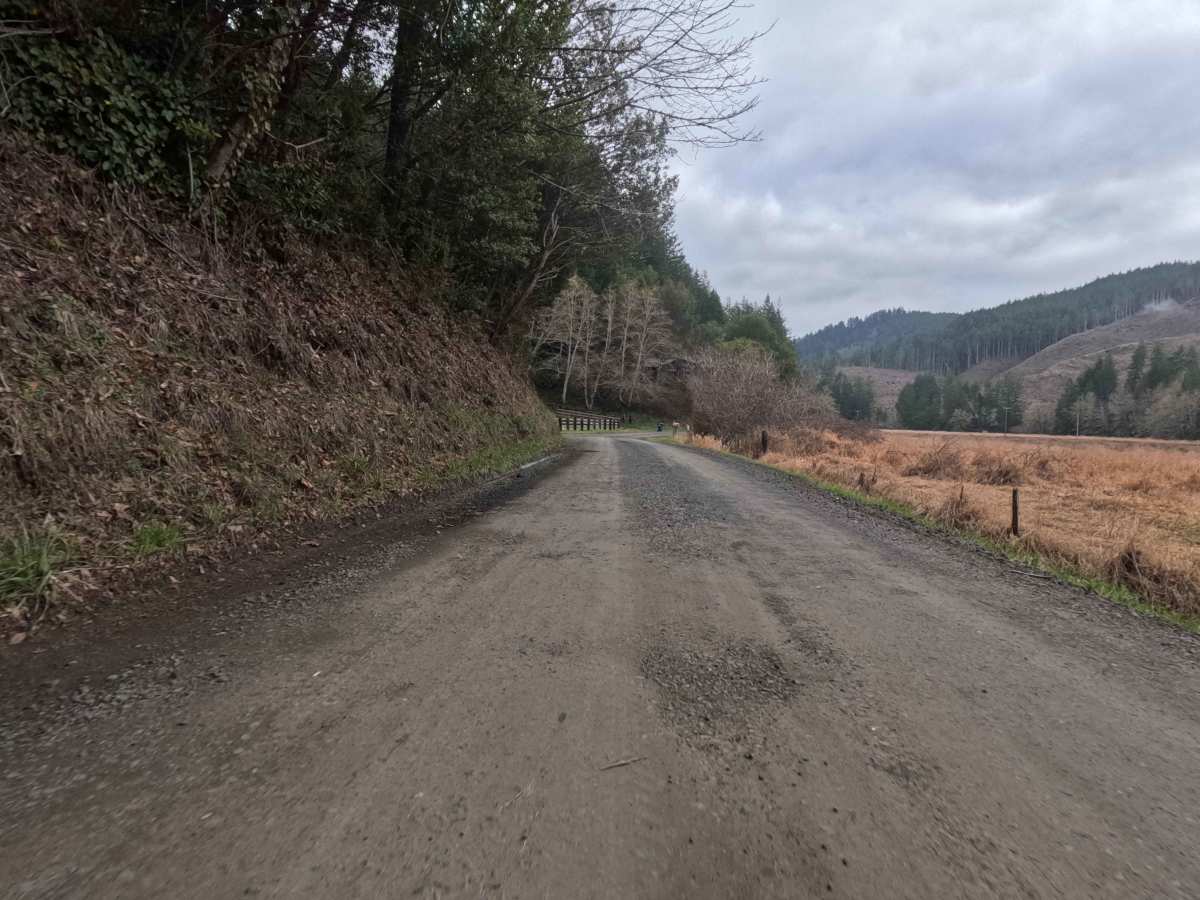
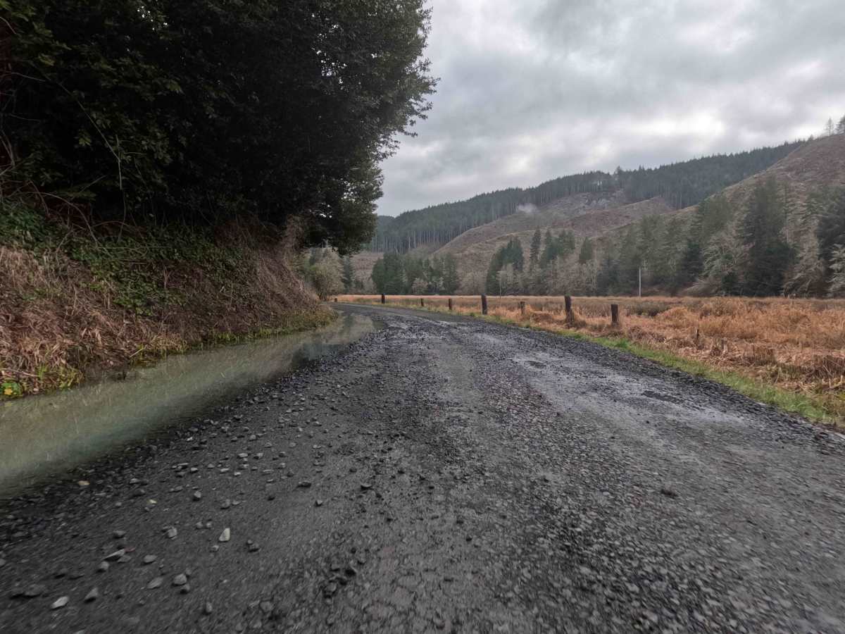
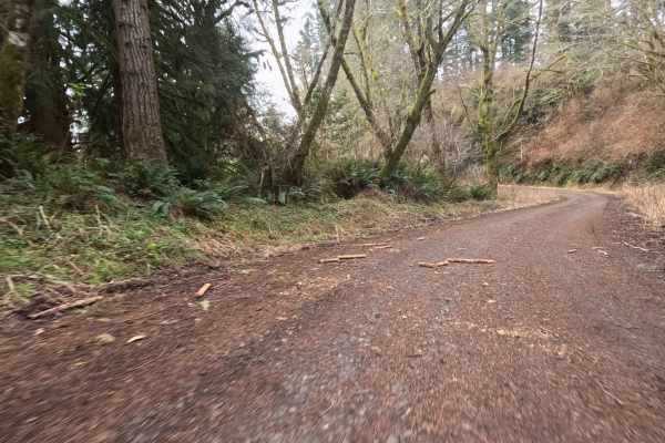
This 3.4 -mile scenic connector begins as a pastoral drive through a quiet valley before transitioning into the working timberlands of the coast range. The road starts as a wide, well-maintained two-lane gravel country road, flanked by rolling green pastures and active family farms that characterize the rural charm of the Oregon coast hinterlands. As the route pushes inland, the landscape shifts from agricultural to industrial, eventually connecting seamlessly to FS 4811011 and the steeper forest service network above. Despite its rural appearance, this lane is a vital commercial artery, actively used for heavy logging operations. Travelers should expect to share the road with loaded timber trucks and heavy machinery, making this more than just a leisurely Sunday drive. The wide surface allows for easy travel, but the looming forest wall ahead signals the start of the true backcountry.
Difficulty
This road presents virtually no technical challenge for any street-legal vehicle. The surface is wide, graded, and designed to support heavy commercial traffic, ensuring consistent traction and generally well-managed potholes. The primary "difficulty" is situational awareness: the road's active status as a logging corridor means drivers must remain vigilant for fast-moving timber trucks and heavy equipment. While any passenger car can drive it, the dust and gravel emitted by trucks require defensive driving.