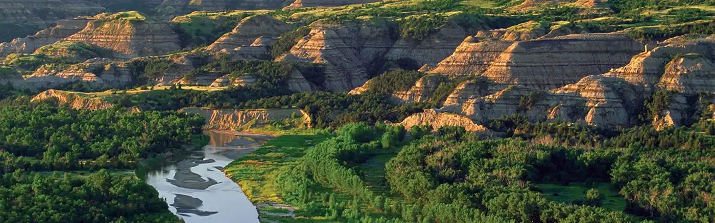
Dirt Bike Trails
Near Plummer, Minnesota
Explore All Dirt Bike Trails Near Plummer, Minnesota
Dirt Bike Trails Near Plummer, Minnesota
Discover the best dirt bike trails near you. Browse trail maps, check difficulty ratings, and find your next adventure — whether you're looking for a quick ride or an all-day expedition.
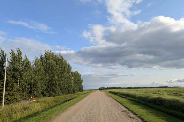
Dylan Road NW
This long and scenic road is part of the Fourtown Grygla Trail and features a well-maintained, smooth gravel surface. The width varies, with some sections accommodating two vehicles and others narrowing to single-vehicle passage. The route passes by working farms, scenic farmhouses, and stretches of...
Learn more about Dylan Road NW
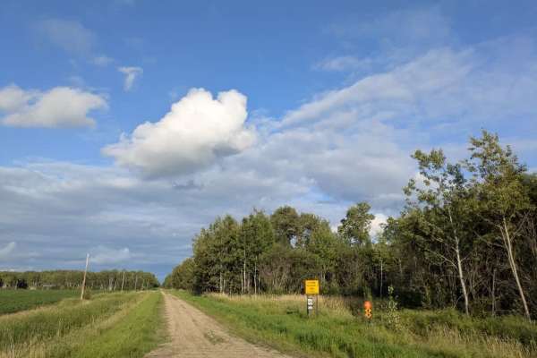
Wildlife Road NW
The surface is well-maintained gravel, though drivers should watch for slippery patches, deer crossing the road, and local traffic. The route passes a farmhouse and stretches of open fields while running parallel to a Wildlife Management Area. Along the way, a rustic two-track trail branches off, ma...
Learn more about Wildlife Road NW
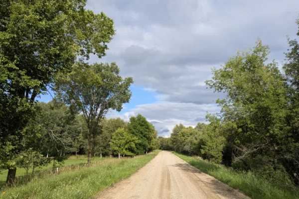
Moose River Road NW
This trail is a paved road and is one of the most scenic routes in the Beltrami Island National Forest. It is wide enough for two vehicles and has a well-maintained gravel surface. The drive passes through picturesque farmland, including a honey farm, and features views of grazing cattle, rolling gr...
Learn more about Moose River Road NW
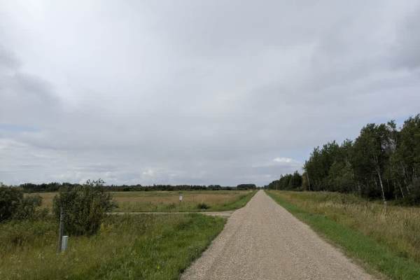
380 Avenue NE
This trail leads to the Thief Lake Wildlife Management Area, which offers several hiking trails. The surface is well-maintained gravel, with sections that alternate between single-vehicle and two-vehicle widths. Drivers should be aware of potential slippery areas, watch for deer crossing the road, a...
Learn more about 380 Avenue NE
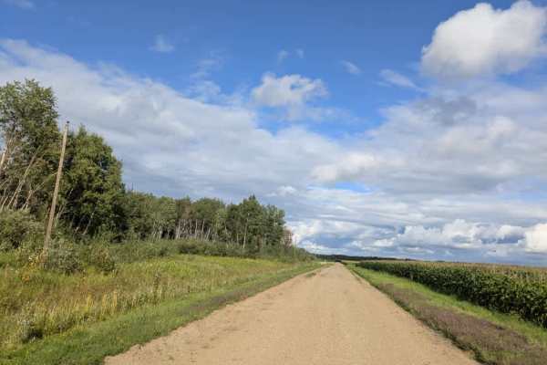
Phantom Road NW
The surface is well-maintained gravel, with sections where the gravel is fine and others where it is thicker. The route passes between the Wapiti Wildlife Management Area on one side and farmland on the other, with fields of corn and soybeans lining parts of the drive. The scenery is a mix of agricu...
Learn more about Phantom Road NW
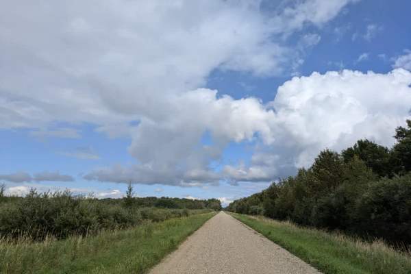
440 Street NE
This trail is wide enough for two vehicles and has a well-maintained gravel surface. It follows a nearly straight course through a forested landscape, offering a scenic and quiet drive. The route leads to the Wapiti and Thief Lake Wildlife Management Areas, making it a useful access road for visitor...
Learn more about 440 Street NE
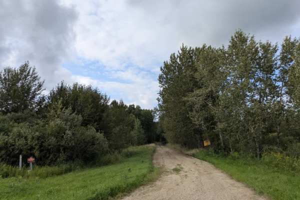
Morel Road NW
This trail runs mostly straight and intersects with Moose River Road. One end of the trail begins in forested terrain with a well-maintained gravel surface that can become muddy in wet conditions. The route eventually leads to private property, so access beyond that point is not permitted. After the...
Learn more about Morel Road NW
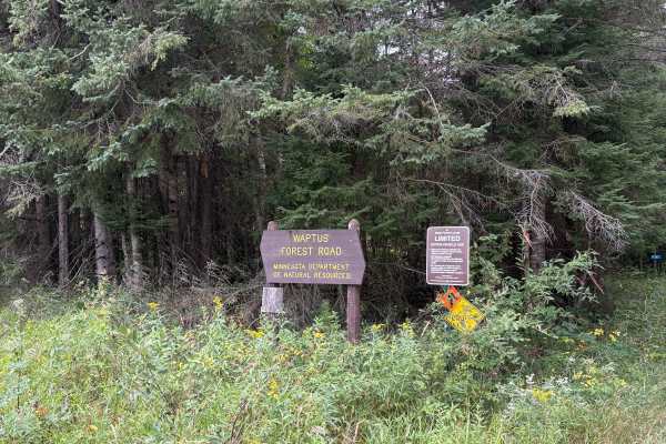
Waptus Forest Road
Waptus Forest Road is an easy to navigate Forestry Road near Itasca State Park. The Trail is mostly wide open with some narrow sections with low overhead clearance. Wildlife and scenery are abundant, making it a perfect fall color trail. This trail connects to many others in the area. Closed Decembe...
Learn more about Waptus Forest Road
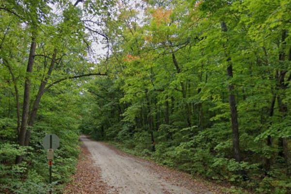
T-251
Easy, scenic drive through the woods. Trail runs past entrance to Little Elbow Lake Campground & Park. Trail connects Tulaby Lake to the snowmobile trail network in the Naytahwaush area. Beautiful leaves in the fall. Dirt & gravel can at times give way to rocks or loose sand on the trail.
Learn more about T-251
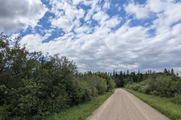
Nyhiem Forest Road
The route itself is straight and narrow, accommodating a single vehicle, and consists of a gravel and sand two-track surface. It passes through scenic forest, with one section crossing an access gate before continuing over a bridge and a river. Beyond the bridge, the trail reaches a wash area with a...
Learn more about Nyhiem Forest Road
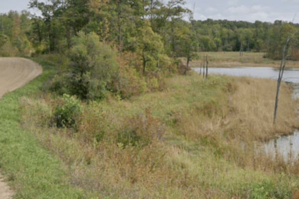
New Horizons - Gravel
Dirt road that is commonly used by locals to travel around the north side of White Earth Lake rather than travel extra miles on the tar. You may encounter cars, pickups, and off road vehicles, along with the occasional delivery truck or construction machinery. Road winds through the woods and around...
Learn more about New Horizons - Gravel
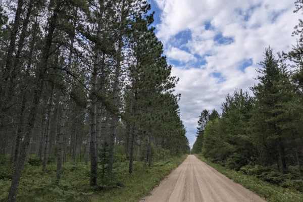
River Forest Road
This scenic trail is accessed from Blacks Winner Trail and features a well-maintained gravel surface bordered by neatly cut lawn verges. It is smooth and generally wide enough for two vehicles, making for an easy drive. Along the way, it passes a small number of private residences and includes a few...
Learn more about River Forest Road
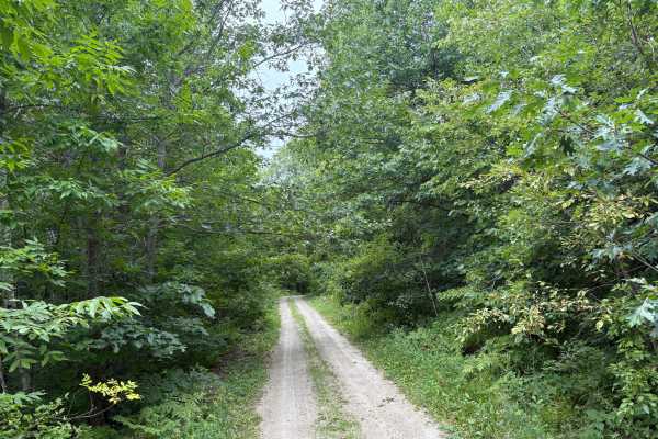
Heart Lake Trail
Heart Lake Trail is a narrow forestry road near Itasca State Park. The trail is very narrow in spots with overgrown vegetation. The fall colors and Wildlife along this trail are definitely worth the travel. In the Spring thaw and heavy rain periods, some of the trail can have some overflow and ruts....
Learn more about Heart Lake Trail
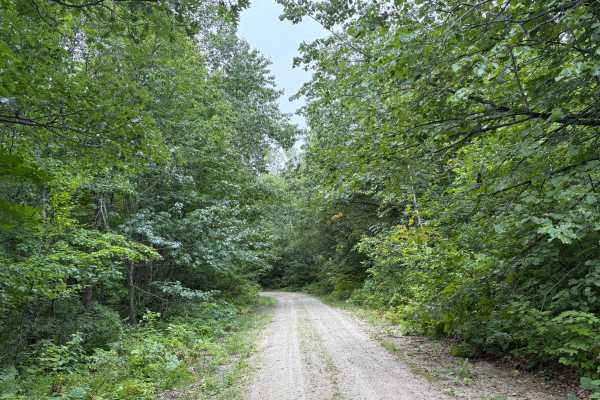
Otterkill Trail
The Otterkill trail is a gravel forestry trail with some tight vegetation in spots. This trail is easy to navigate but may get overgrown depending on the year. It is located near Itasca State Park, making it a beautiful Fall color tour trail to take. Closed December 1 to March 31.
Learn more about Otterkill Trail
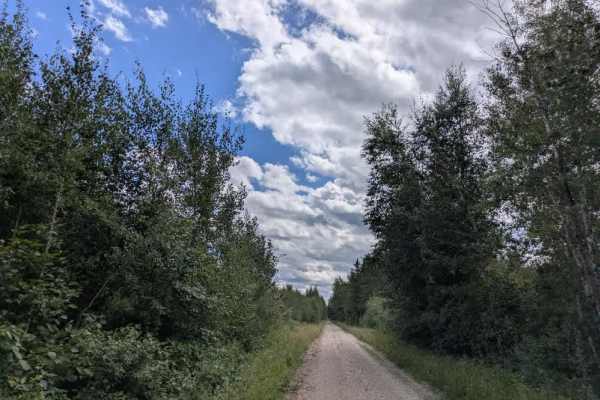
Penturan Road
This single-vehicle-wide gravel trail is mostly flat and level, with a generally smooth surface interrupted by occasional bumps and potholes. It runs through scenic forest and intersects with Summer Forest Road, which provides access to a historic church. The route offers few clearings and only a sm...
Learn more about Penturan Road
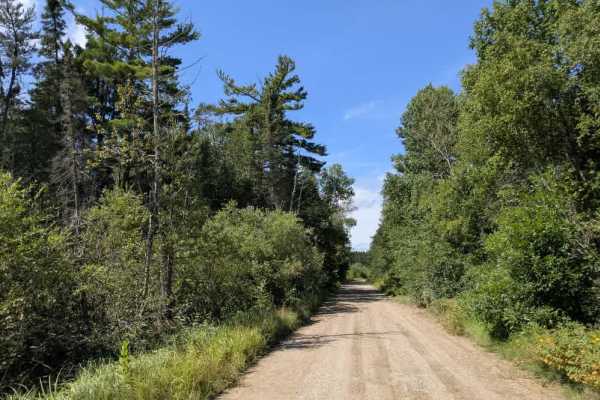
Faunce Butterfield Forest Road
This 19-mile trail is wide and well-maintained with a gravel surface and is generally smooth but has some gentle undulations along its length. It connects to the Hogsback O’Brien Trail and Butterfield Forest Road, with many smaller trails branching off from the main route. This trail is jam-packed w...
Learn more about Faunce Butterfield Forest Road
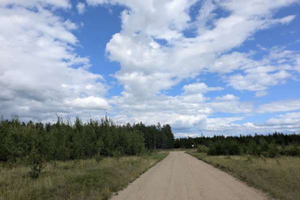
Palsburg Road
This scenic trail is wide enough for two vehicles and has a well-maintained gravel surface. It winds through forested terrain, maintaining a generally level grade throughout its length. The trail is accessed from Thompson Forest Road and extends to connect with Blacks River Road, providing a link be...
Learn more about Palsburg Road
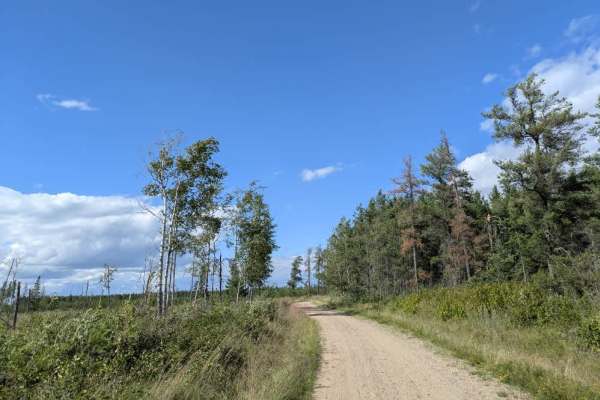
Root Forest Road
This scenic trail branches off from Blacks Winner Road and features a gravel surface that varies between two-vehicle and single-vehicle width. It winds through forested surroundings and has numerous side trails leading away from the main route, providing opportunities for further exploration. About ...
Learn more about Root Forest Road
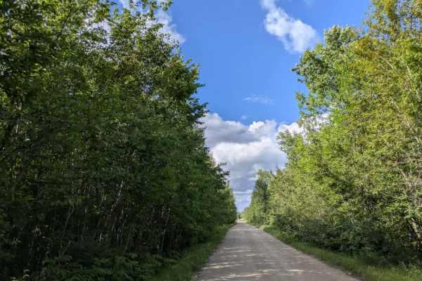
Bemis Hills Forest Road
This scenic trail has a well-maintained gravel surface and alternates between sections that are wide enough for two vehicles and narrower stretches suited to a single vehicle. It winds through forested terrain with a mix of ascents and descents, and numerous side trails branch off from the main rout...
Learn more about Bemis Hills Forest Road
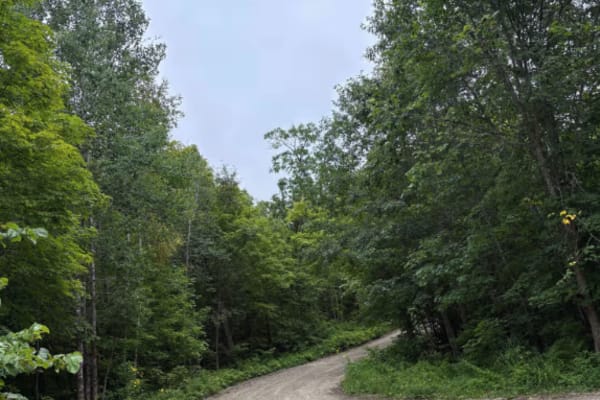
Waptus-Mckenzie Lake Road
The trail is an easy-going Forestry Road, with lots of great scenery and wildlife. Narrow in spots and some washouts depending on the time of year. The trail follows the West edge of Itasca State Park with many great camping opportunities. Fall colors are amazing with the mix of Northwoods Pine and ...
Learn more about Waptus-Mckenzie Lake Road
ATV trails near Plummer, Minnesota
Explore ATV-friendly trails near you. These trails are accessible for vehicles up to 50 inches wide, perfect for ATVs and smaller off-road machines.
Dylan Road NW
This long and scenic road is part of the Fourtown Grygla Trail and features a well-maintained, smooth gravel surface. The width varies, with some sections accommodating two vehicles and others narrowing to single-vehicle passage. The route passes by working farms, scenic farmhouses, and stretches of...
Learn more about Dylan Road NW
Wildlife Road NW
The surface is well-maintained gravel, though drivers should watch for slippery patches, deer crossing the road, and local traffic. The route passes a farmhouse and stretches of open fields while running parallel to a Wildlife Management Area. Along the way, a rustic two-track trail branches off, ma...
Learn more about Wildlife Road NW
Moose River Road NW
This trail is a paved road and is one of the most scenic routes in the Beltrami Island National Forest. It is wide enough for two vehicles and has a well-maintained gravel surface. The drive passes through picturesque farmland, including a honey farm, and features views of grazing cattle, rolling gr...
Learn more about Moose River Road NW
380 Avenue NE
This trail leads to the Thief Lake Wildlife Management Area, which offers several hiking trails. The surface is well-maintained gravel, with sections that alternate between single-vehicle and two-vehicle widths. Drivers should be aware of potential slippery areas, watch for deer crossing the road, a...
Learn more about 380 Avenue NE
UTV/side-by-side trails near Plummer, Minnesota
Find UTV and side-by-side trails near you. These trails accommodate vehicles up to 60 inches wide, ideal for UTVs, side-by-sides, and wider off-road rigs.
Dylan Road NW
This long and scenic road is part of the Fourtown Grygla Trail and features a well-maintained, smooth gravel surface. The width varies, with some sections accommodating two vehicles and others narrowing to single-vehicle passage. The route passes by working farms, scenic farmhouses, and stretches of...
Learn more about Dylan Road NW
Wildlife Road NW
The surface is well-maintained gravel, though drivers should watch for slippery patches, deer crossing the road, and local traffic. The route passes a farmhouse and stretches of open fields while running parallel to a Wildlife Management Area. Along the way, a rustic two-track trail branches off, ma...
Learn more about Wildlife Road NW
Moose River Road NW
This trail is a paved road and is one of the most scenic routes in the Beltrami Island National Forest. It is wide enough for two vehicles and has a well-maintained gravel surface. The drive passes through picturesque farmland, including a honey farm, and features views of grazing cattle, rolling gr...
Learn more about Moose River Road NW
380 Avenue NE
This trail leads to the Thief Lake Wildlife Management Area, which offers several hiking trails. The surface is well-maintained gravel, with sections that alternate between single-vehicle and two-vehicle widths. Drivers should be aware of potential slippery areas, watch for deer crossing the road, a...
Learn more about 380 Avenue NE
The onX Offroad Difference
onX Offroad combines trail photos, descriptions, difficulty ratings, width restrictions, seasonality, and more in a user-friendly interface. Available on all devices, with offline access and full compatibility with CarPlay and Android Auto. Discover what you're missing today!
Open Trail Map