Trail Overview
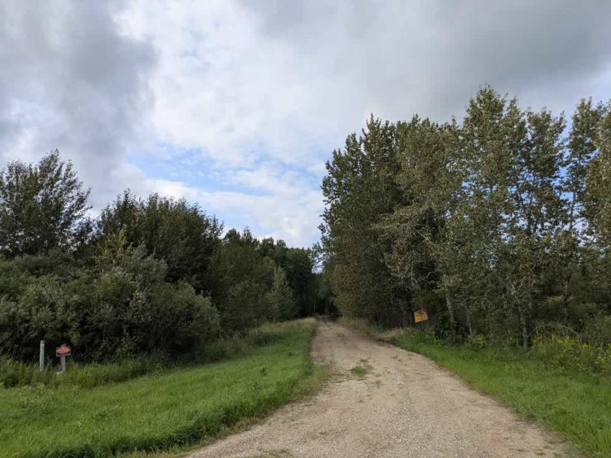
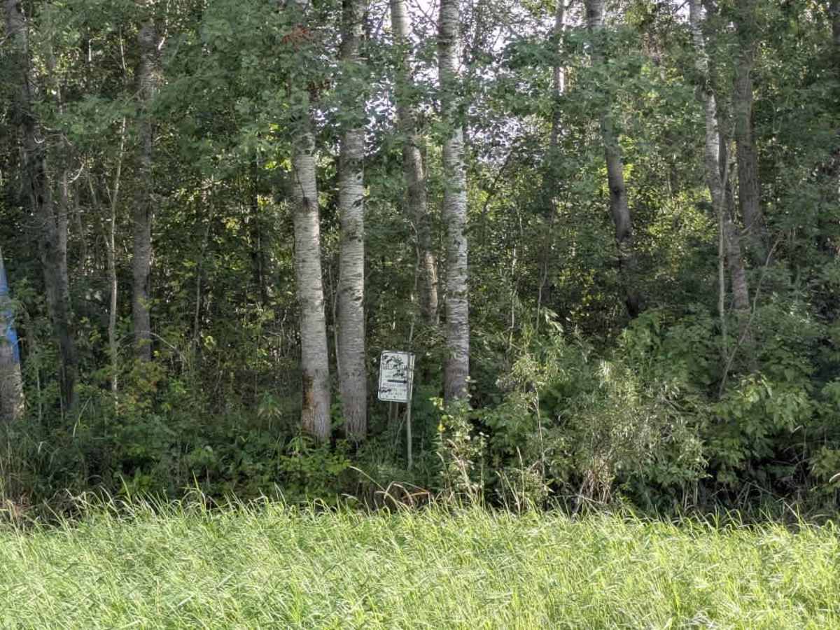
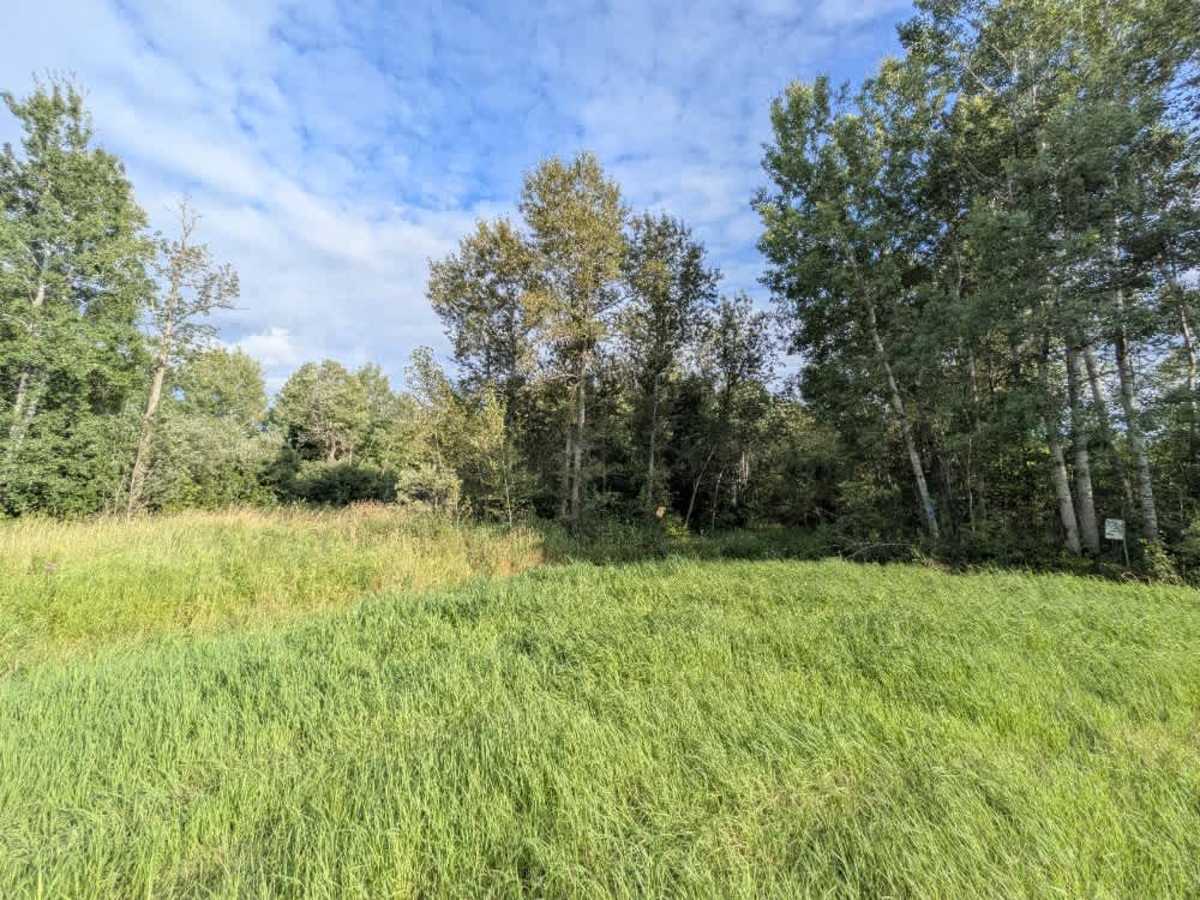
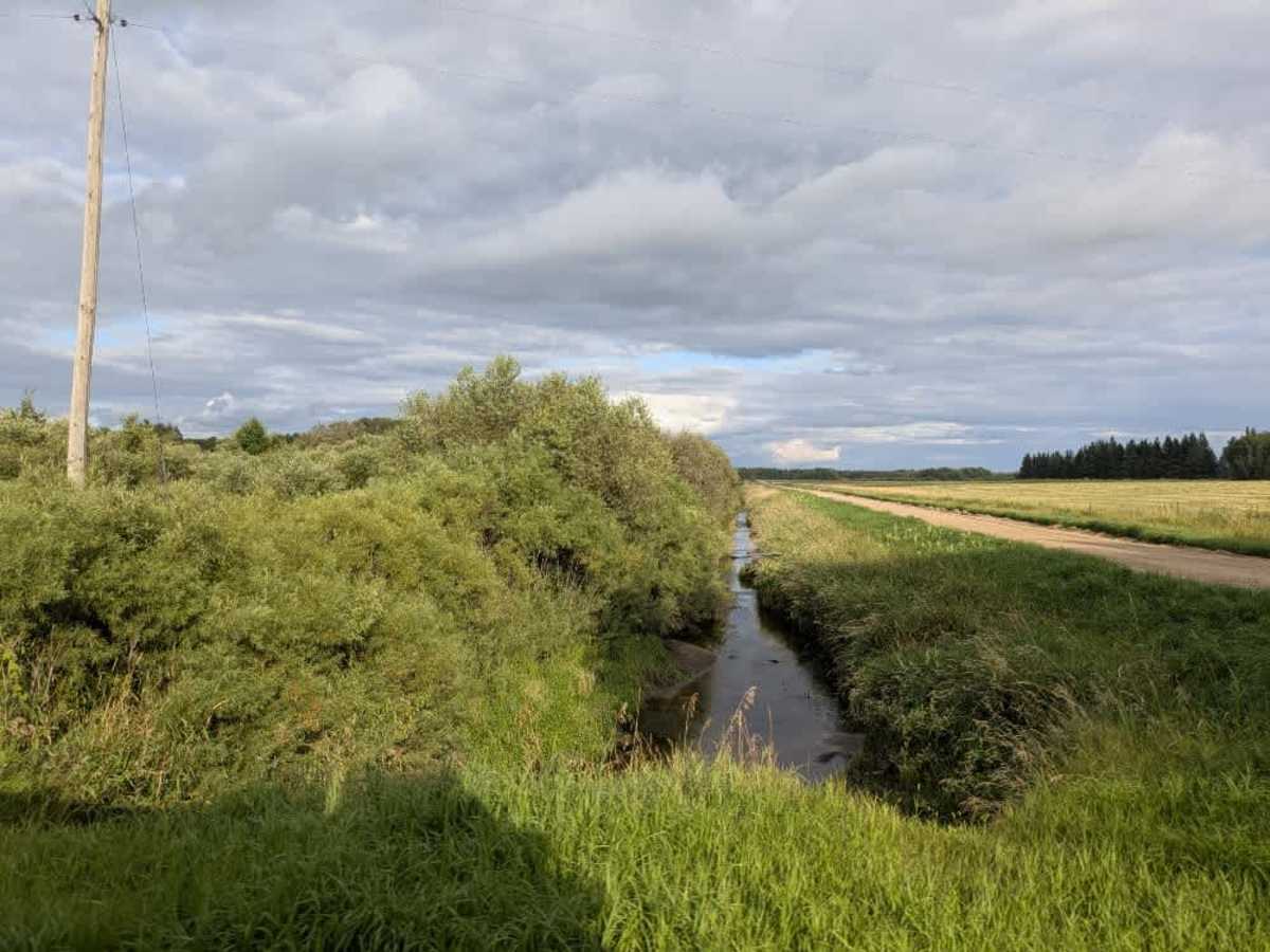
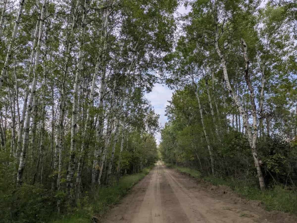
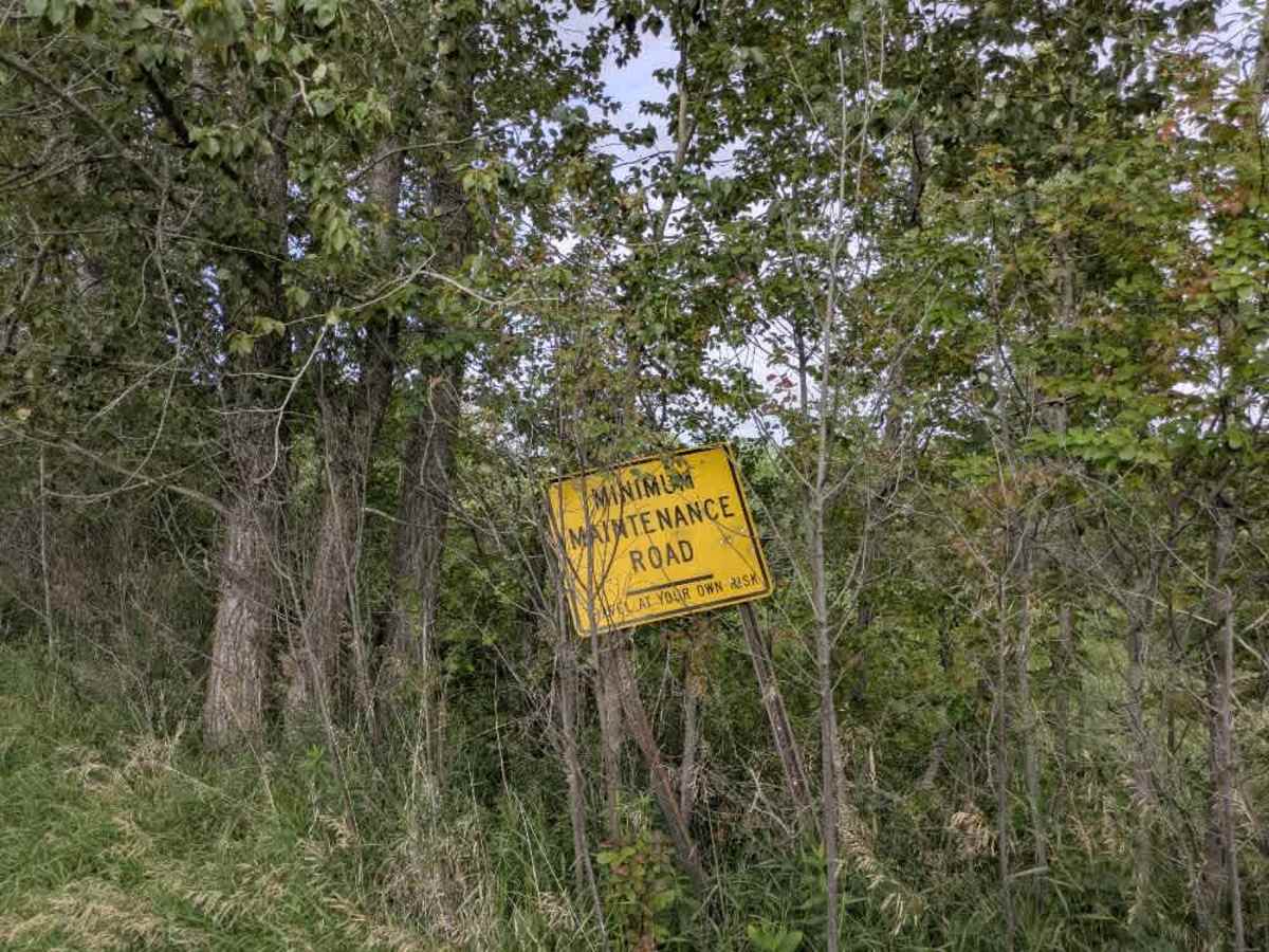
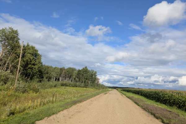
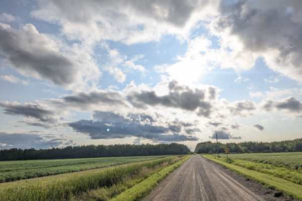
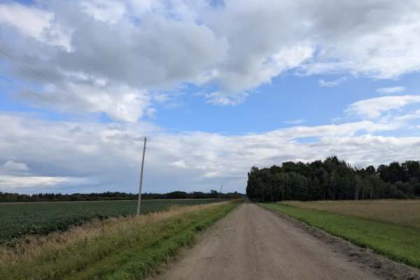
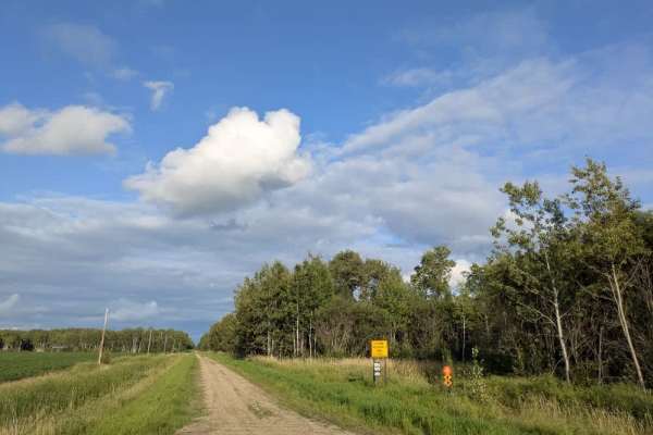
This trail runs mostly straight and intersects with Moose River Road. One end of the trail begins in forested terrain with a well-maintained gravel surface that can become muddy in wet conditions. The route eventually leads to private property, so access beyond that point is not permitted. After the intersection with Moose River Road, the trail continues on well-maintained gravel, bordered by forest on one side and open fields on the other. The surrounding area includes some residences, and the drive offers a scenic mix of rural and natural landscapes. Drivers should watch for deer, slippery spots, and local traffic. The trail ends at Morel, where one side is bordered by a state Wildlife Management Area and the other by the Red Lake Indian Reservation. Entry into the reservation is prohibited without the proper permit and permission. The trail has no dispersed or formal campsites and lacks amenities such as trash disposal or a water supply, and cell service may be limited.
Difficulty
This forest trail is well-maintained and used daily by residents and adventurers. The route is wide and clear of debris, with established tread and minimal overgrowth, making it ideal for a smooth and scenic drive.
History
The Red Lake Indian Reservation is located in northern Minnesota, encompassing approximately 825,654 acres, making it the largest reservation in the state. It is unique in that it is entirely owned and occupied by members of the Red Lake Band of Chippewa Indians, with all land held in common and not allotted to individuals.