
Dirt Bike Trails
Near Orick, California
Explore All Dirt Bike Trails Near Orick, California
Dirt Bike Trails Near Orick, California
Discover the best dirt bike trails near you. Browse trail maps, check difficulty ratings, and find your next adventure — whether you're looking for a quick ride or an all-day expedition.
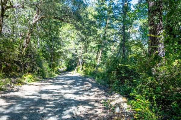
Pappas Flat
Pappas Flat is a very easy, mostly gravel service road traversable by any vehicle with a moderate amount of ground clearance that can manage small ruts and a roughly 10-degree slope at around the mid-point of the road. Although it is a very short, publicly accessible trail, this service road provide...
Learn more about Pappas Flat

Gasquet Mountain Road - FSR 17N49
Gasquet Mountain Road (GMR) is just one of many routes available to access the beautiful Six Rivers National Forest. GMR is a single-lane gravel road that will reveal stunning views of the surrounding mountains. The road surface will change periodically from packed small gravel to loose softball siz...
Learn more about Gasquet Mountain Road - FSR 17N49
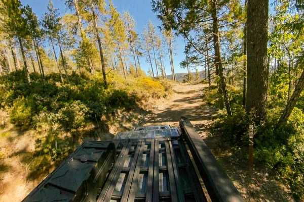
Black Jack Mine
Black Jack Mine is a narrow spur trail originating off Gasquet Mountain Road [FSR 17N49] that starts relatively easy, but features a lot of rocks, plenty of ruts, some steep climbs and descents, and a tight, technical turnaround at the end of the trail that will have you off camber near a steep drop...
Learn more about Black Jack Mine
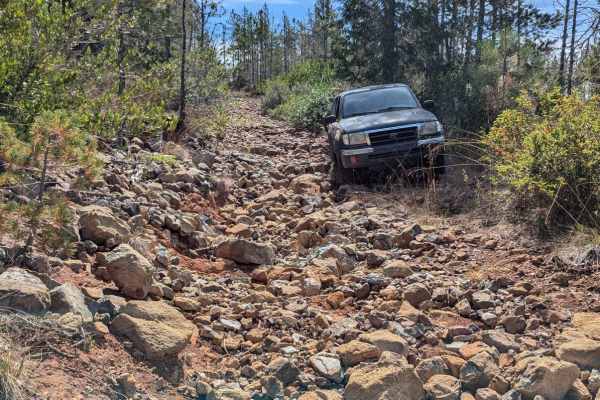
Red Rock Grade
This is a fun and moderately challenging spur trail off of Gasquet Mountain Road, beginning near a good campsite. Starting from the south, the road climbs up a series of rocky switchbacks and crosses a couple of washes. The trail has become overgrown and is quite narrow, particularly in the southern...
Learn more about Red Rock Grade
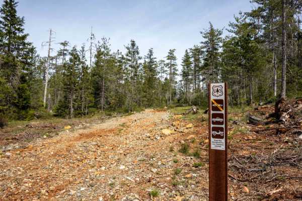
Angela Mine
Angela Mine is an intermediate trail originating off Gasquet Mountain Road - FS 17N49 that starts relatively easy, but features a lot of rocks, exposed roots, ruts, some steep climbs and descents, and a very tight, overgrown turnaround at the end of the trail near where the trail’s namesake mine onc...
Learn more about Angela Mine
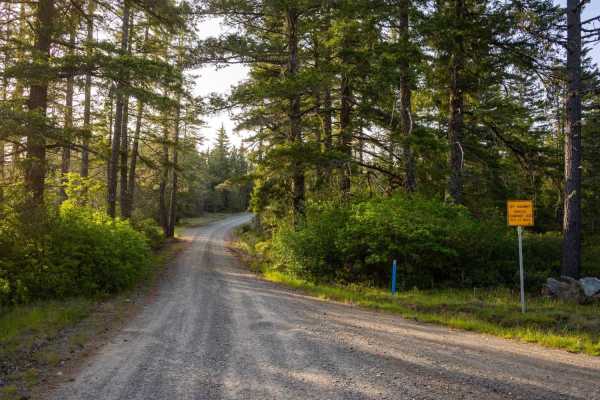
Low Divide-West - FS 305
Low Divide-West - FS 305 is a publicly accessible, hard-packed gravel service road that intersects several private properties before leading you through a long, picturesque northern section of the Six Rivers National Park, bringing you close to the California-Oregon Border. The staging area at the S...
Learn more about Low Divide-West - FS 305
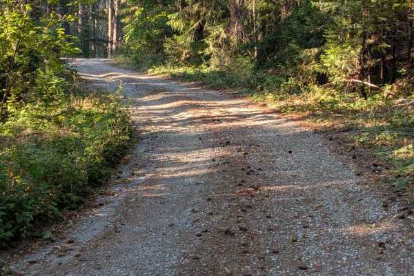
Hennessy Road - FS 5N40
This single-lane gravel road starts across FS 60 from Big Lake Road - FS 5N09. Patches of old pavement remain from years past, though they now serve more to channel and concentrate erosion than provide a usable road surface. The road has areas of erosion damage up to a foot deep, along with loose an...
Learn more about Hennessy Road - FS 5N40
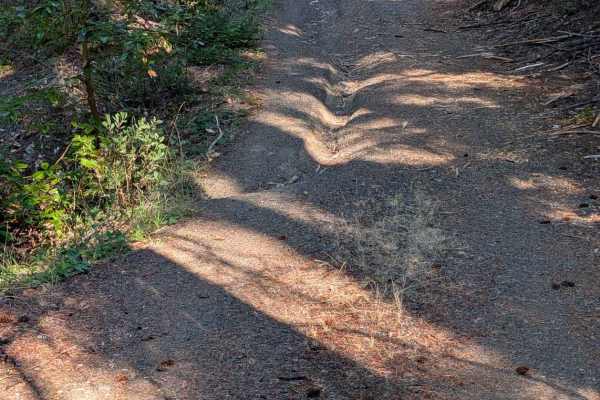
Round Knob Road - FS 5N27
This single-lane gravel road begins at Hennessy Road - FS 5N40 and ends back at Underwood Mountain Road - FS 5N60. It has some erosion damage up to a foot deep and exposed embedded and loose rocks up to six inches high. The road travels through a mixed forest with quite a bit of undergrowth. There i...
Learn more about Round Knob Road - FS 5N27
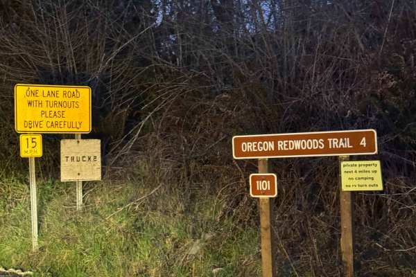
Oregon Redwoods Trail
When you turn onto Peavine Ridge, this is the start of the trail. You cross the bridge over the creek, and the road turns to dirt and gravel. The trail climbs at a steady grade with Private Property on both sides of the road until you cross into the Siskiyou National Forest. Once you enter the Natio...
Learn more about Oregon Redwoods Trail
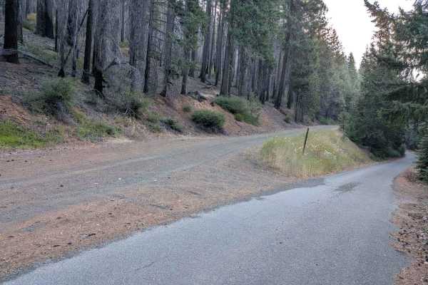
Big Lake Road - FS 5N09
This single-lane road is mostly gravel with some natural surface areas. It is wide enough to meet another vehicle safely for most of its length. The road surface is mostly good, but it has some erosion damage and areas with loose, exposed embedded rocks up to a foot deep or higher. In August, Big La...
Learn more about Big Lake Road - FS 5N09
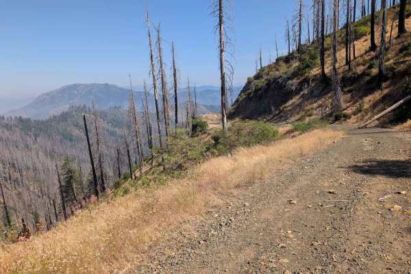
Eagle Rock Road - FS 4N11
This single-lane road is mostly gravel with some areas of natural surface. It is wide enough to meet and pass another vehicle safely for much of its length, but does have sections too narrow for that. It has some erosion damage up to a foot deep and loose and exposed embedded rocks up to a foot high...
Learn more about Eagle Rock Road - FS 4N11
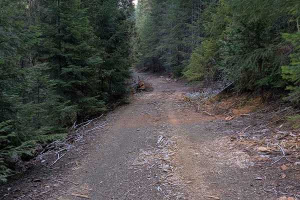
Clark Creek Loop - FS 4N25
This single-lane gravel road begins and ends on the paved FS 5N60 road. The road surface is mostly good, with minor ruts and erosion damage. There are also a few places with rocks less than six inches high scattered across the road. The road travels through a mixed forest for most of its length, but...
Learn more about Clark Creek Loop - FS 4N25
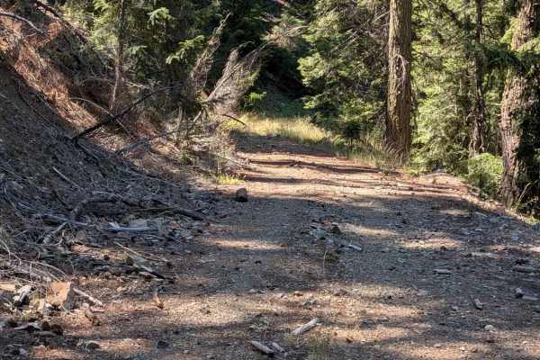
Eagle Road - FS 4N32
This single-lane gravel road connects Eagle Rock - FS 4N11 to Eagle Lookout - FS 4N11A near the old lookout site. It has places wide enough to meet and pass another vehicle safely, but many places are too narrow for that. It is pretty overgrown in some places, so pinstriping is possible for a full-s...
Learn more about Eagle Road - FS 4N32
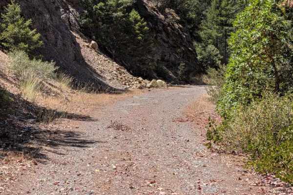
Hayshed Creek Road - FS 4N05
This single-lane gravel road connects Corral Bottom - FS 47 to Eagle Rock - FS 4N11. The lower section is wide enough to meet and pass another vehicle safely, but parts of the upper section are pretty overgrown and narrow. The road goes through both mixed forest and an old burn area. The road surfac...
Learn more about Hayshed Creek Road - FS 4N05
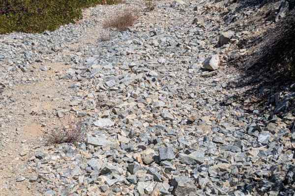
Eagle Rock Lookout - FS 4N11A
This single-lane rocky road goes from Eagle Rock Road to the old lookout site. The views from this site are wide open in nearly all directions. The road is overgrown in several places, enough that pin striping is likely on full-size vehicles. As is typical for lookout roads, it has many areas of loo...
Learn more about Eagle Rock Lookout - FS 4N11A
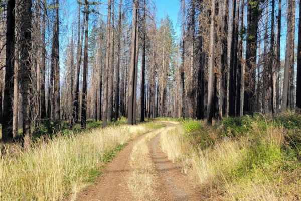
Page Mountain
The Page Mountain Trail is an out and back at Siskiyou National Forest in Oregon. It is a very easy ride with one tight spot that could potentially cause pinstripes if not passed with care. There's a very large rocky area at the top that makes for some cool campsites. The base of the trail has 2 res...
Learn more about Page Mountain
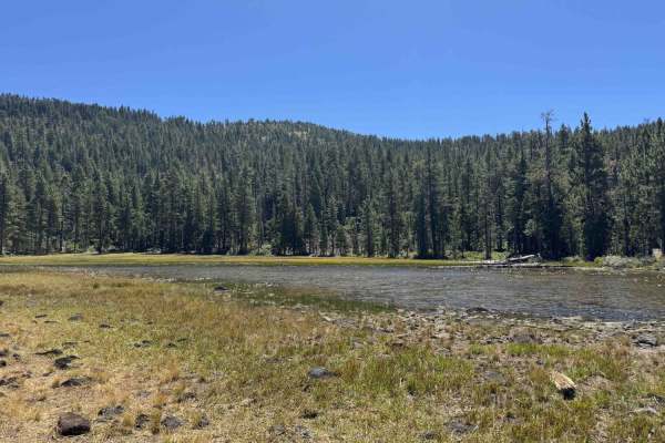
Kangaroo Creek - FS 40N08
Kangaroo Creek FS 40N62 offers a scenic, sweeping mountain journey through picturesque forests filled with mullein, bright wildflowers, and lush green grasses managed by the Klamath National Forest. Accessed at the end of a long, well-traveled dirt road beyond local ranch houses, this route serves a...
Learn more about Kangaroo Creek - FS 40N08
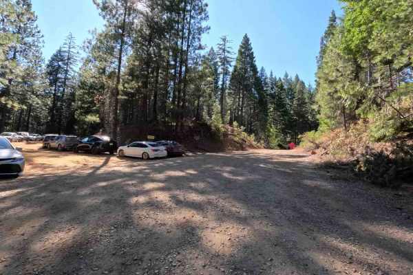
Mule Creek - FS 35N23Y
Mule Creek - FS 35N23Y leads travelers through a serene timberland setting within the Shasta-Trinity National Forest, transitioning from lush creek-side greenery to open evergreen stands. This well-traversed connector route is accessed directly off local forest arterials and serves as a vital thorou...
Learn more about Mule Creek - FS 35N23Y
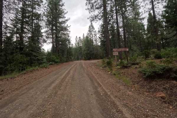
Lake Eleanor - FS 36N24
Branching off from the main road and clearly marked by brown Forest Service directional signs, this beautiful journey takes you through a dense pine forest along a road that is generally very wide, exceptionally flat, and clearly well-traversed. As you cruise along the hillside, the surface alternat...
Learn more about Lake Eleanor - FS 36N24
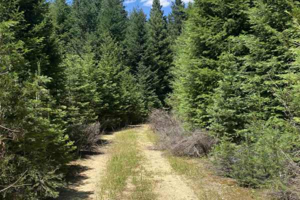
North Fork Swift Creek Spur A - FS 37N55A
This short, unmarked out-and-back spur climbs into a densely wooded, lush evergreen forest that feels incredibly secluded. Starting from the main FS 37N55 road, the entrance can be a bit tricky to spot due to the complete lack of signage or trail markers. The journey begins with a relatively wide up...
Learn more about North Fork Swift Creek Spur A - FS 37N55A
ATV trails near Orick, California
Explore ATV-friendly trails near you. These trails are accessible for vehicles up to 50 inches wide, perfect for ATVs and smaller off-road machines.
Pappas Flat
Pappas Flat is a very easy, mostly gravel service road traversable by any vehicle with a moderate amount of ground clearance that can manage small ruts and a roughly 10-degree slope at around the mid-point of the road. Although it is a very short, publicly accessible trail, this service road provide...
Learn more about Pappas Flat
Gasquet Mountain Road - FSR 17N49
Gasquet Mountain Road (GMR) is just one of many routes available to access the beautiful Six Rivers National Forest. GMR is a single-lane gravel road that will reveal stunning views of the surrounding mountains. The road surface will change periodically from packed small gravel to loose softball siz...
Learn more about Gasquet Mountain Road - FSR 17N49
Black Jack Mine
Black Jack Mine is a narrow spur trail originating off Gasquet Mountain Road [FSR 17N49] that starts relatively easy, but features a lot of rocks, plenty of ruts, some steep climbs and descents, and a tight, technical turnaround at the end of the trail that will have you off camber near a steep drop...
Learn more about Black Jack Mine
Red Rock Grade
This is a fun and moderately challenging spur trail off of Gasquet Mountain Road, beginning near a good campsite. Starting from the south, the road climbs up a series of rocky switchbacks and crosses a couple of washes. The trail has become overgrown and is quite narrow, particularly in the southern...
Learn more about Red Rock Grade
UTV/side-by-side trails near Orick, California
Find UTV and side-by-side trails near you. These trails accommodate vehicles up to 60 inches wide, ideal for UTVs, side-by-sides, and wider off-road rigs.
Pappas Flat
Pappas Flat is a very easy, mostly gravel service road traversable by any vehicle with a moderate amount of ground clearance that can manage small ruts and a roughly 10-degree slope at around the mid-point of the road. Although it is a very short, publicly accessible trail, this service road provide...
Learn more about Pappas Flat
Gasquet Mountain Road - FSR 17N49
Gasquet Mountain Road (GMR) is just one of many routes available to access the beautiful Six Rivers National Forest. GMR is a single-lane gravel road that will reveal stunning views of the surrounding mountains. The road surface will change periodically from packed small gravel to loose softball siz...
Learn more about Gasquet Mountain Road - FSR 17N49
Black Jack Mine
Black Jack Mine is a narrow spur trail originating off Gasquet Mountain Road [FSR 17N49] that starts relatively easy, but features a lot of rocks, plenty of ruts, some steep climbs and descents, and a tight, technical turnaround at the end of the trail that will have you off camber near a steep drop...
Learn more about Black Jack Mine
Red Rock Grade
This is a fun and moderately challenging spur trail off of Gasquet Mountain Road, beginning near a good campsite. Starting from the south, the road climbs up a series of rocky switchbacks and crosses a couple of washes. The trail has become overgrown and is quite narrow, particularly in the southern...
Learn more about Red Rock Grade
The onX Offroad Difference
onX Offroad combines trail photos, descriptions, difficulty ratings, width restrictions, seasonality, and more in a user-friendly interface. Available on all devices, with offline access and full compatibility with CarPlay and Android Auto. Discover what you're missing today!
Open Trail Map