Trail Overview
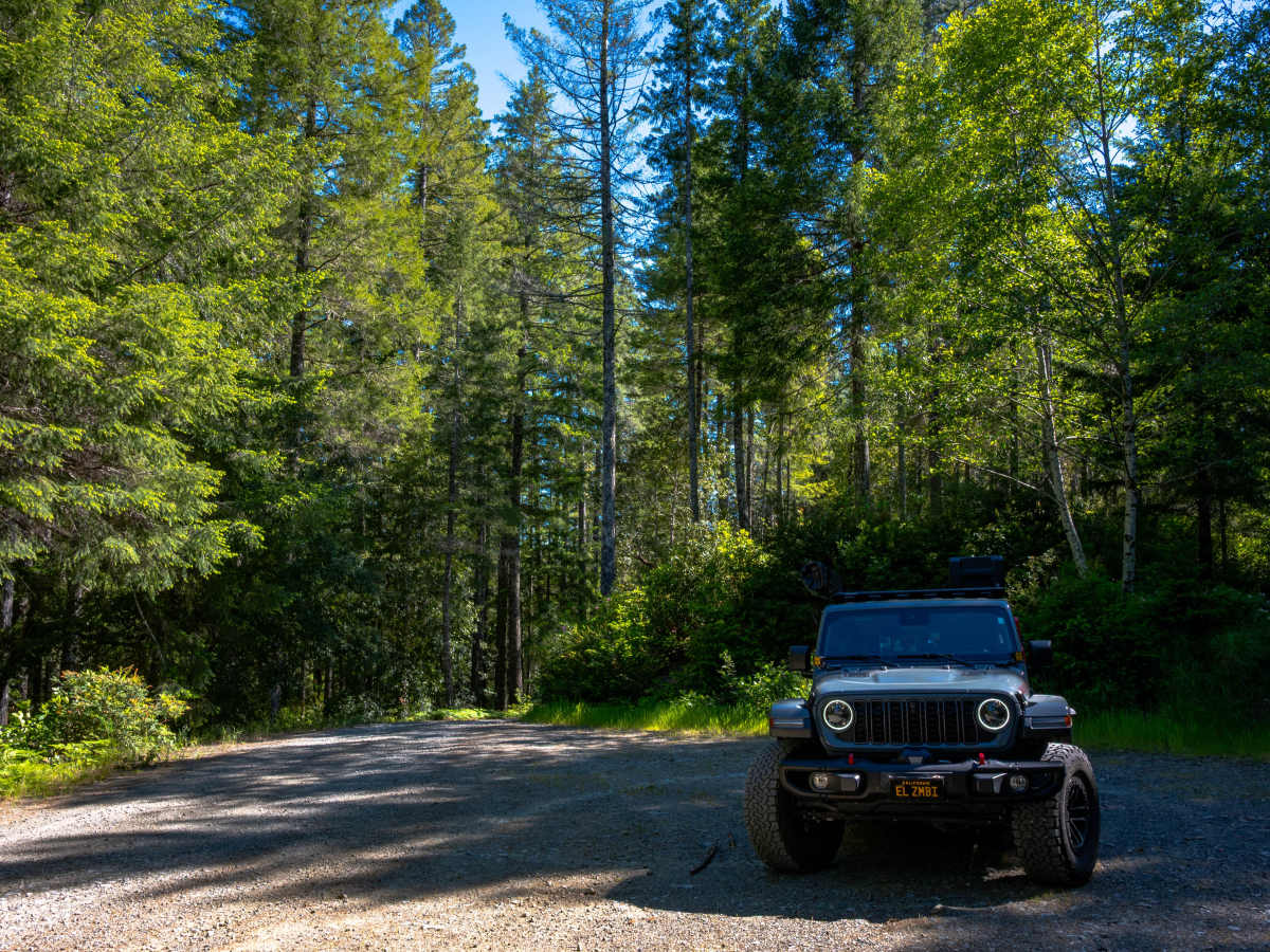
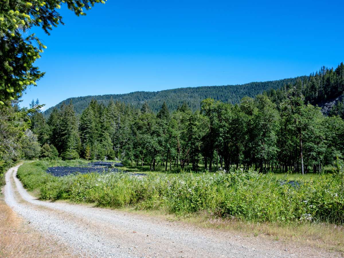
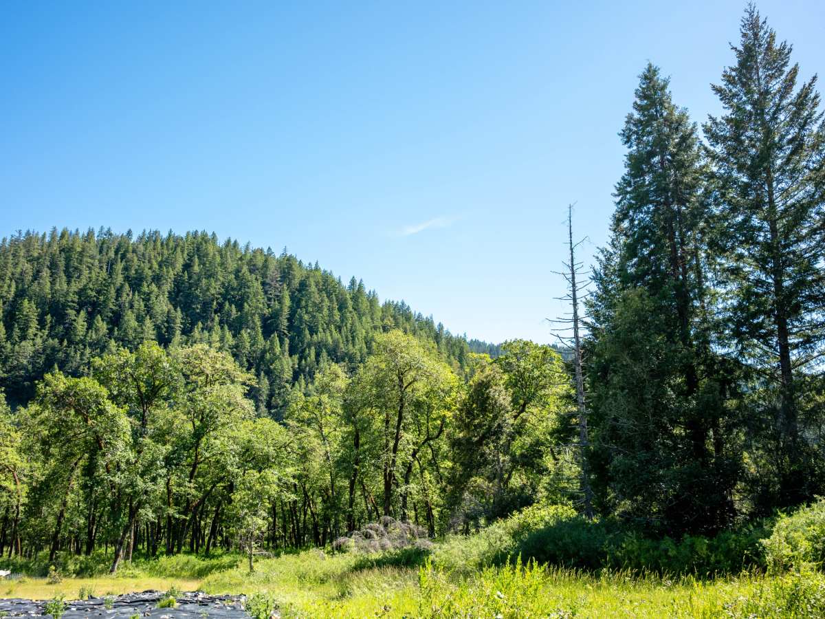
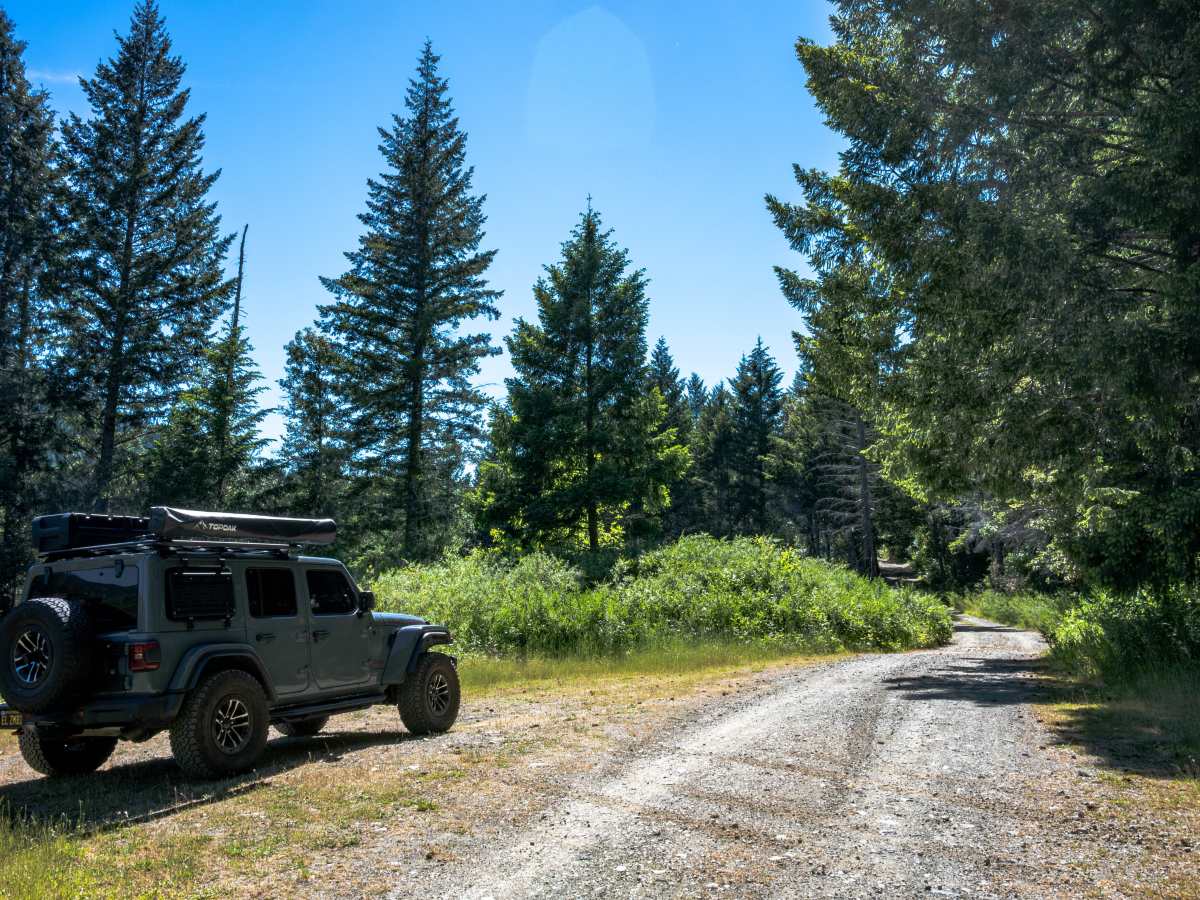
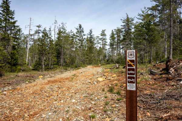
Pappas Flat is a very easy, mostly gravel service road traversable by any vehicle with a moderate amount of ground clearance that can manage small ruts and a roughly 10-degree slope at around the mid-point of the road. Although it is a very short, publicly accessible trail, this service road provides at least two potential dispersed car-camping campsites near a US Forest Service-managed clearing and a short, slightly overgrown hiking trail that was once a service road for local utilities companies. The hiking trail follows a line of telephone/electrical poles that will lead you to the Smith River within the boundaries of the Six Rivers National Forest. Note: There is a gate at the end of the service road that prevents vehicle passage through to the Smith River, and if you camp at one of the two potential campsites near the US Forest Service-managed clearing, be sure to mind the posted signs that expressly prohibit entering the clearing, as this is a protected reforesting area for Six Rivers National Park.
Difficulty
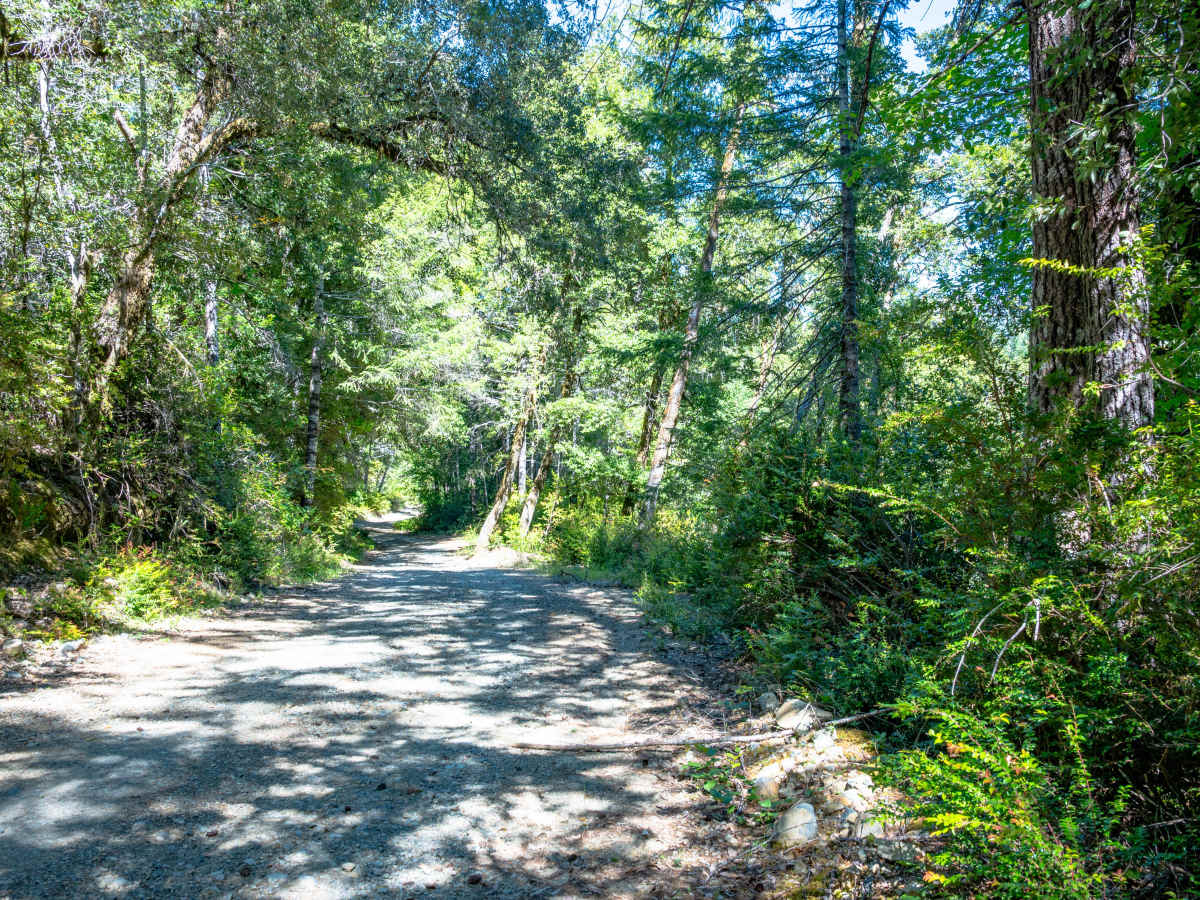
This trail is primarily gravel, and although some ruts exist around the mid-point, where you will also find a bit of a slope, most vehicles with a moderate amount of clearance should be able to manage the terrain.


 Offroad