Trail Overview
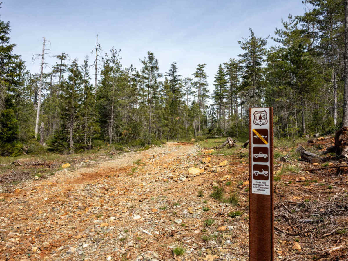
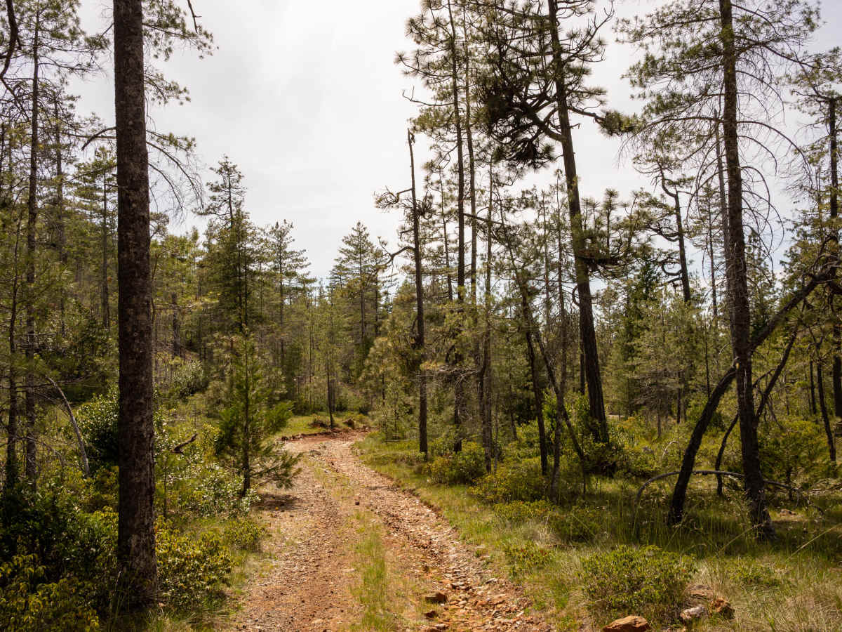
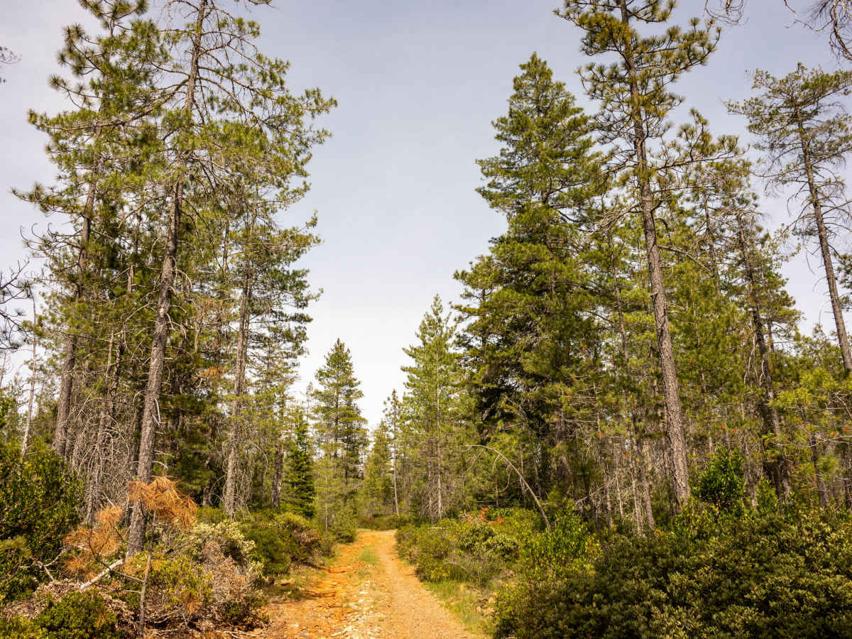
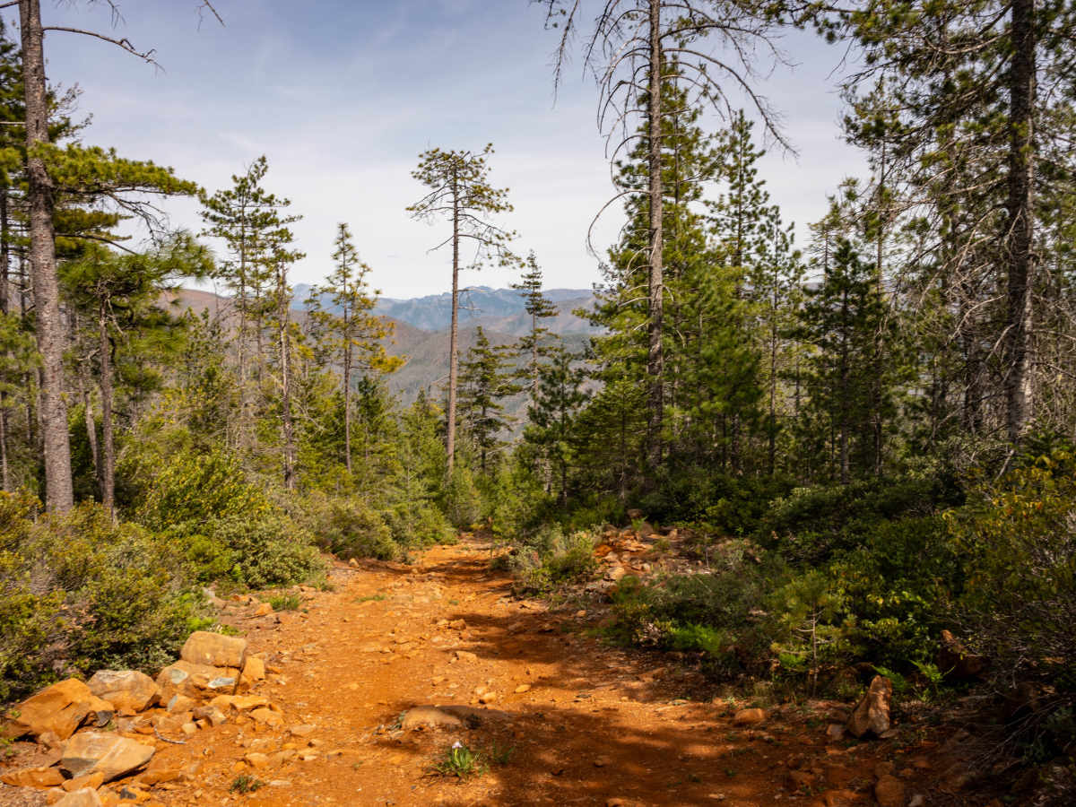
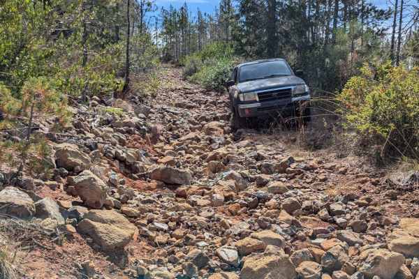
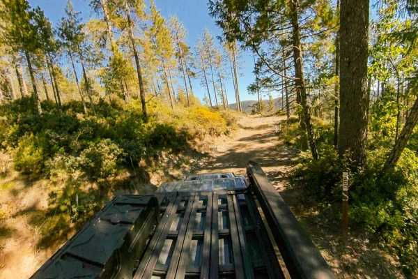
Angela Mine is an intermediate trail originating off Gasquet Mountain Road - FS 17N49 that starts relatively easy, but features a lot of rocks, exposed roots, ruts, some steep climbs and descents, and a very tight, overgrown turnaround at the end of the trail near where the trail’s namesake mine once was. The technical portion of this trail is for high-clearance, midsize 4x4 vehicles only (think Toyota Tacomas or Jeep Wranglers), and it is very narrow, with no turnouts after passing the first pair of dispersed campsites, thereby making it impossible for more than one midsize vehicle to travel along the technical portions at any given time. However, the trail’s easterly views out toward the Six Rivers National Forest are spectacular, and there are at least four areas along this trail where you can find dispersed camping areas suitable for a solo or group of up to two trail riders. Note: The end of this trail is overgrown with bushes and young Fir trees, which can potentially cause damage to full-size trucks or SUVs, and will certainly cause pin-stripping on midsize 4x4s. Only small track buggies or dirt bikes can likely navigate beyond the mapped trail to eventually connect with the Black Jack Mine trail to the South. Lastly, this trail will likely be more difficult, or not open at all, immediately after periods of heavy rain or snow.
Difficulty
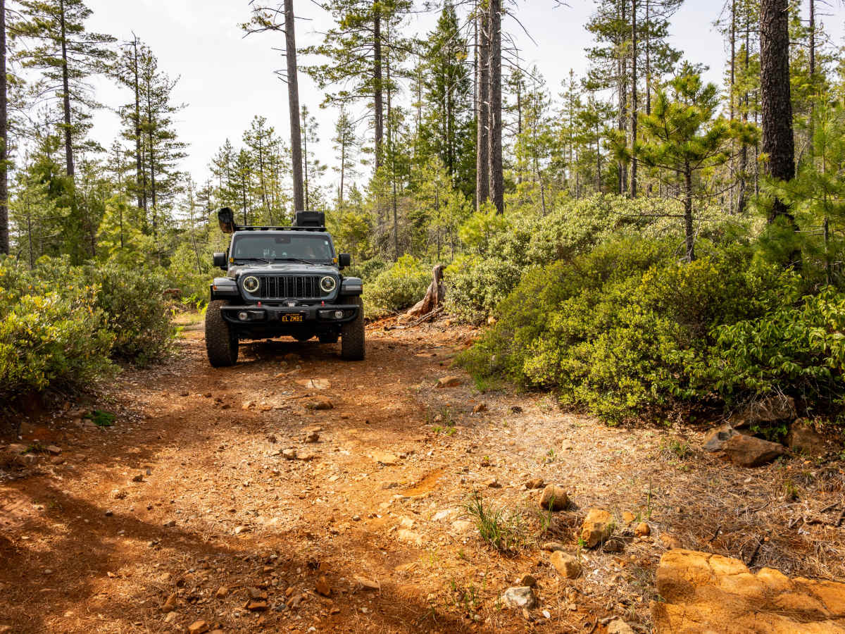
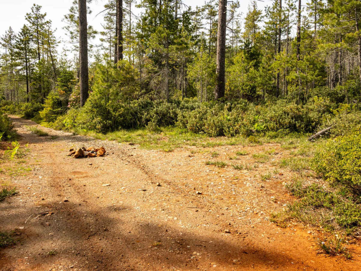
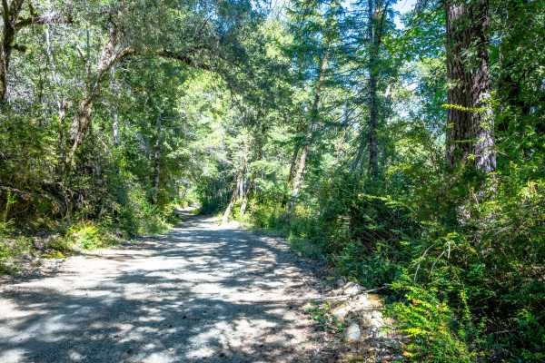
This trail begins on relatively even ground, allowing most SUVs and trucks with good ground clearance access to the first pair of dispersed camping areas that can be found within the first half-mile of the trail, but beyond the second camping area with a fire ring, the trail becomes quite steep, narrow, rocky, rutted, and overgrown with bushes and young Fir trees. This trail will be especially difficult after rain or snowstorms, at which time you should expect the US Forest Service to close access to the final 2/3rds of the trail. The trail has no turnouts beyond the second camping area (except for the mid-trail offshoot that leads to another pair of campsites), and only one small or midsize 4x4 can ride the latter portion of the trail at a time. The only area to turn around and go back up the trail (for small or midsize 4x4s) is at the end of the mapped section, which is a very tight turnaround for any larger vehicle due to the amount of overgrown vegetation. Pin-stripping is highly likely for all 4x4s riding this trail. ATV, SxS, and dirt bike riders can likely go past the mapped section and eventually connect with the Black Jack Mine Trail to the South, although that connecting portion between the trails is also heavily overgrown and will likely require cutting back some of the vegetation.


 Offroad