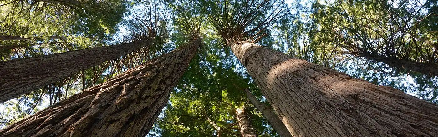
Dirt Bike Trails
Near Big Lagoon, California
Explore All Dirt Bike Trails Near Big Lagoon, California
Dirt Bike Trails Near Big Lagoon, California
Discover the best dirt bike trails near you. Browse trail maps, check difficulty ratings, and find your next adventure — whether you're looking for a quick ride or an all-day expedition.
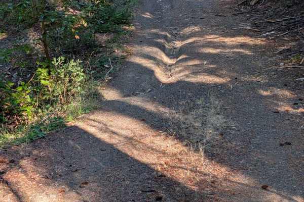
Round Knob Road - FS 5N27
This single-lane gravel road begins at Hennessy Road - FS 5N40 and ends back at Underwood Mountain Road - FS 5N60. It has some erosion damage up to a foot deep and exposed embedded and loose rocks up to six inches high. The road travels through a mixed forest with quite a bit of undergrowth. There i...
Learn more about Round Knob Road - FS 5N27
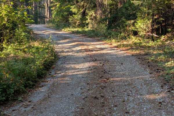
Hennessy Road - FS 5N40
This single-lane gravel road starts across FS 60 from Big Lake Road - FS 5N09. Patches of old pavement remain from years past, though they now serve more to channel and concentrate erosion than provide a usable road surface. The road has areas of erosion damage up to a foot deep, along with loose an...
Learn more about Hennessy Road - FS 5N40
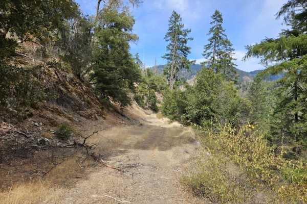
FS 5N06
This trail winds steadily downhill through the forest, with several switchbacks, steep drop-offs, and sections that require careful navigation around fallen or broken trees. Most of the larger trees have been cleared from the route, but overgrowth and other obstacles remain common. The scenery chang...
Learn more about FS 5N06
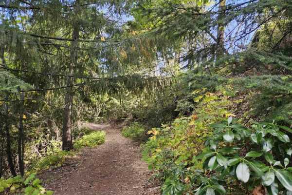
FS 5N04C
This trail starts out in fairly good condition before immediately climbing along the side of the mountain. A sign at the beginning warns of hazardous trees and advises against parking or standing near dead or dying trees. The trail is somewhat off-camber in places, with rocky sections and a grassy c...
Learn more about FS 5N04C
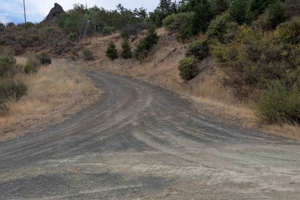
Grapevine Creek Road - FS 4N20
This mostly gravel road begins from Lower South Fork Road and ends where it meets Kerlin Creek Road - FS 3N14 at the Forest Service property boundary. The road is initially a generous single lane, but becomes narrower and natural surface for the last couple of miles. The first several miles of the r...
Learn more about Grapevine Creek Road - FS 4N20
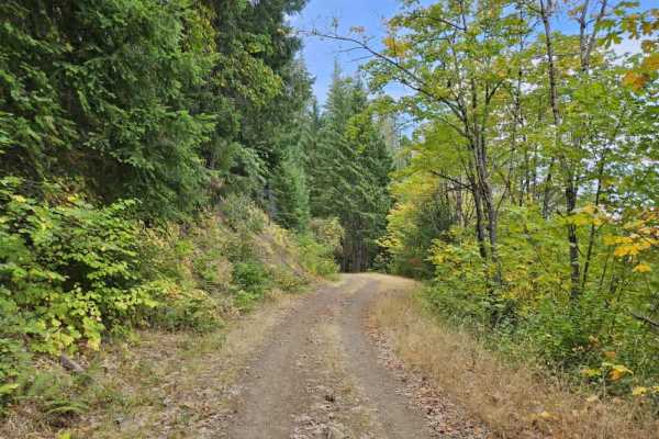
Gap - FS 5N05
This trail winds downhill through the forest with some beautiful views along the way. A large open area near the top could be used for parking, followed shortly by a gate marked as closed from November 1 through April 1. Beyond the gate, the route continues through the forest on mostly smooth gravel...
Learn more about Gap - FS 5N05
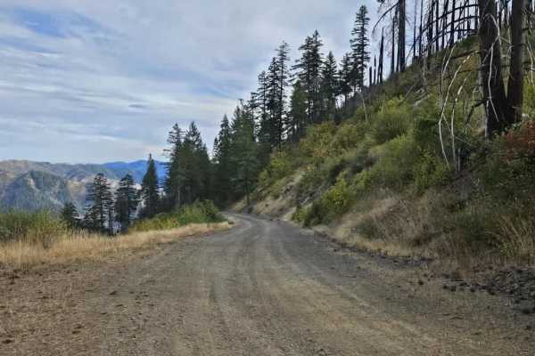
Big French Creek - FS 5N13
This trail climbs steadily from the river toward the summit, winding through the mountain on mostly smooth gray gravel. The first three miles are narrow and can be heavily corrugated, making for a noticeably rougher start. After a turn toward a private residence, the surface becomes much smoother as...
Learn more about Big French Creek - FS 5N13
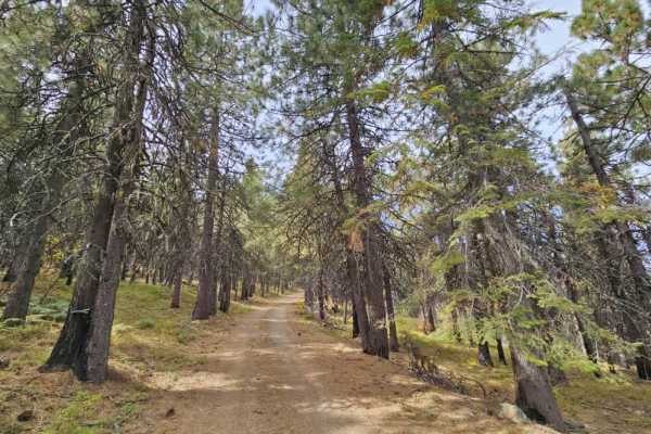
Ironside Mountain Lookout - FS 5N18
This trail isn’t for the faint of heart or those afraid of heights. It climbs Ironside Mountain and offers beautiful views throughout. Most of the trail is in good condition, but the biggest concern is the steep drop-off along much of the mountain, with some sections lacking trees, barriers, or othe...
Learn more about Ironside Mountain Lookout - FS 5N18
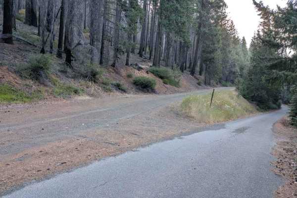
Big Lake Road - FS 5N09
This single-lane road is mostly gravel with some natural surface areas. It is wide enough to meet another vehicle safely for most of its length. The road surface is mostly good, but it has some erosion damage and areas with loose, exposed embedded rocks up to a foot deep or higher. In August, Big La...
Learn more about Big Lake Road - FS 5N09
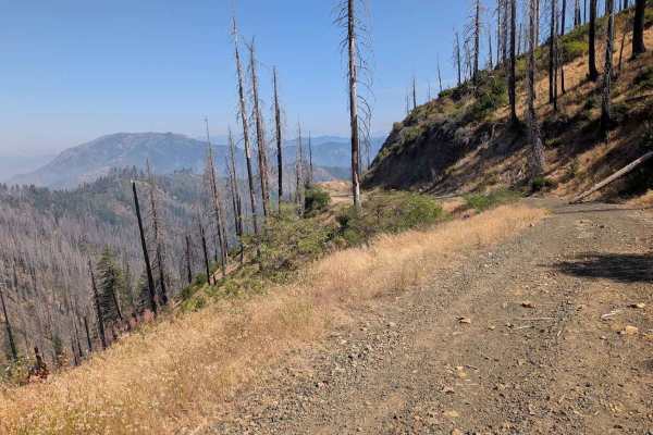
Eagle Rock Road - FS 4N11
This single-lane road is mostly gravel with some areas of natural surface. It is wide enough to meet and pass another vehicle safely for much of its length, but does have sections too narrow for that. It has some erosion damage up to a foot deep and loose and exposed embedded rocks up to a foot high...
Learn more about Eagle Rock Road - FS 4N11
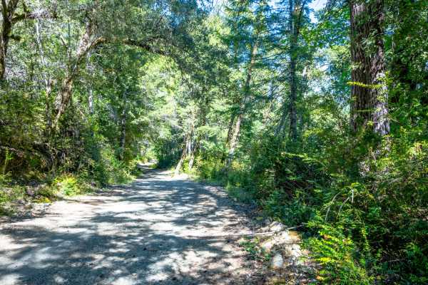
Pappas Flat
Pappas Flat is a very easy, mostly gravel service road traversable by any vehicle with a moderate amount of ground clearance that can manage small ruts and a roughly 10-degree slope at around the mid-point of the road. Although it is a very short, publicly accessible trail, this service road provide...
Learn more about Pappas Flat

Gasquet Mountain Road - FSR 17N49
Gasquet Mountain Road (GMR) is just one of many routes available to access the beautiful Six Rivers National Forest. GMR is a single-lane gravel road that will reveal stunning views of the surrounding mountains. The road surface will change periodically from packed small gravel to loose softball siz...
Learn more about Gasquet Mountain Road - FSR 17N49
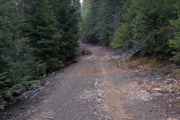
Clark Creek Loop - FS 4N25
This single-lane gravel road begins and ends on the paved FS 5N60 road. The road surface is mostly good, with minor ruts and erosion damage. There are also a few places with rocks less than six inches high scattered across the road. The road travels through a mixed forest for most of its length, but...
Learn more about Clark Creek Loop - FS 4N25
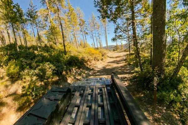
Black Jack Mine
Black Jack Mine is a narrow spur trail originating off Gasquet Mountain Road [FSR 17N49] that starts relatively easy, but features a lot of rocks, plenty of ruts, some steep climbs and descents, and a tight, technical turnaround at the end of the trail that will have you off camber near a steep drop...
Learn more about Black Jack Mine
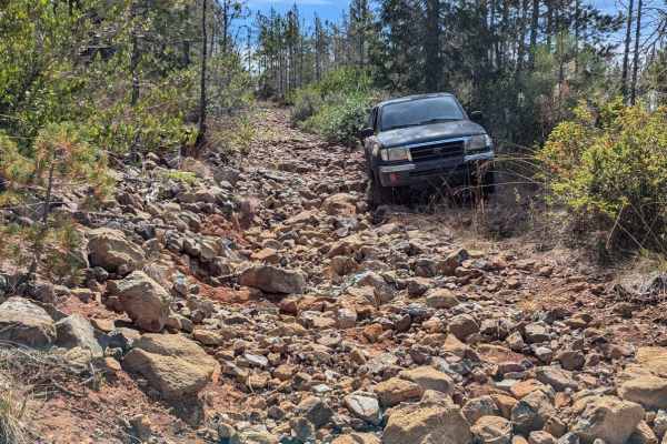
Red Rock Grade
This is a fun and moderately challenging spur trail off of Gasquet Mountain Road, beginning near a good campsite. Starting from the south, the road climbs up a series of rocky switchbacks and crosses a couple of washes. The trail has become overgrown and is quite narrow, particularly in the southern...
Learn more about Red Rock Grade
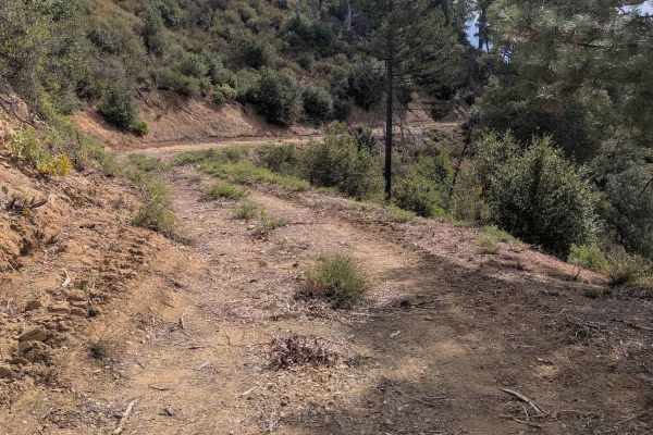
Crewcut Road - FS 4N04
This single-lane dirt road starts from Eltapom Road - FS 4N24 and connects through to Corral Bottom Road - FS 5N60. It goes through a mixed forest and open areas. The road has a few areas of erosion damage up to a foot deep, along with random loose rocks up to six inches in diameter. The road is too...
Learn more about Crewcut Road - FS 4N04
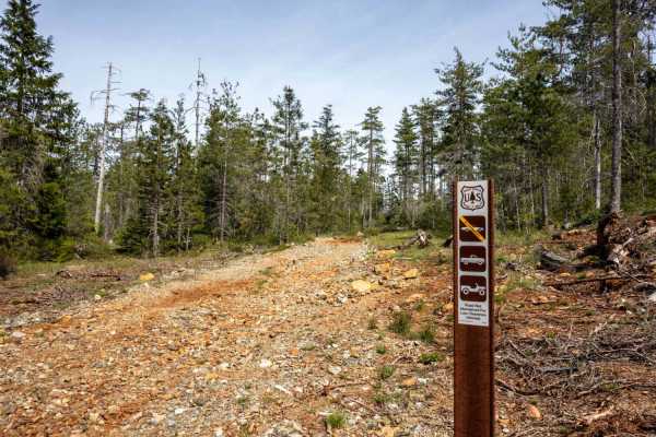
Angela Mine
Angela Mine is an intermediate trail originating off Gasquet Mountain Road - FS 17N49 that starts relatively easy, but features a lot of rocks, exposed roots, ruts, some steep climbs and descents, and a very tight, overgrown turnaround at the end of the trail near where the trail’s namesake mine onc...
Learn more about Angela Mine
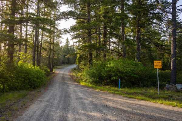
Low Divide-West - FS 305
Low Divide-West - FS 305 is a publicly accessible, hard-packed gravel service road that intersects several private properties before leading you through a long, picturesque northern section of the Six Rivers National Park, bringing you close to the California-Oregon Border. The staging area at the S...
Learn more about Low Divide-West - FS 305
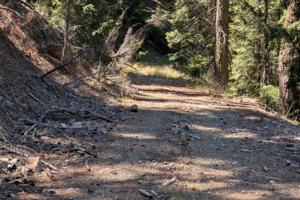
Eagle Road - FS 4N32
This single-lane gravel road connects Eagle Rock - FS 4N11 to Eagle Lookout - FS 4N11A near the old lookout site. It has places wide enough to meet and pass another vehicle safely, but many places are too narrow for that. It is pretty overgrown in some places, so pinstriping is possible for a full-s...
Learn more about Eagle Road - FS 4N32
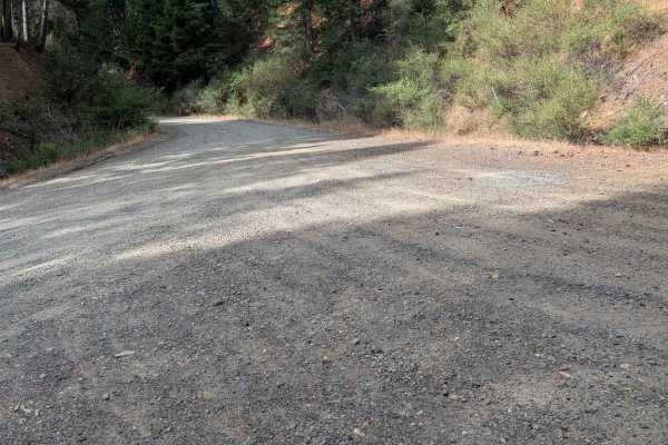
Eltapom Road - FS 4N24
This single-lane gravel road begins from the paved Corral Bottom Road - FS 5N60. It ends at a locked gate about 4.5 miles in. The road is generally in good condition, but there are some areas of erosion damage around a foot deep. It also has some exposed embedded rocks and loose rocks up to six inch...
Learn more about Eltapom Road - FS 4N24
ATV trails near Big Lagoon, California
Explore ATV-friendly trails near you. These trails are accessible for vehicles up to 50 inches wide, perfect for ATVs and smaller off-road machines.
Round Knob Road - FS 5N27
This single-lane gravel road begins at Hennessy Road - FS 5N40 and ends back at Underwood Mountain Road - FS 5N60. It has some erosion damage up to a foot deep and exposed embedded and loose rocks up to six inches high. The road travels through a mixed forest with quite a bit of undergrowth. There i...
Learn more about Round Knob Road - FS 5N27
Hennessy Road - FS 5N40
This single-lane gravel road starts across FS 60 from Big Lake Road - FS 5N09. Patches of old pavement remain from years past, though they now serve more to channel and concentrate erosion than provide a usable road surface. The road has areas of erosion damage up to a foot deep, along with loose an...
Learn more about Hennessy Road - FS 5N40
FS 5N06
This trail winds steadily downhill through the forest, with several switchbacks, steep drop-offs, and sections that require careful navigation around fallen or broken trees. Most of the larger trees have been cleared from the route, but overgrowth and other obstacles remain common. The scenery chang...
Learn more about FS 5N06
FS 5N04C
This trail starts out in fairly good condition before immediately climbing along the side of the mountain. A sign at the beginning warns of hazardous trees and advises against parking or standing near dead or dying trees. The trail is somewhat off-camber in places, with rocky sections and a grassy c...
Learn more about FS 5N04C
UTV/side-by-side trails near Big Lagoon, California
Find UTV and side-by-side trails near you. These trails accommodate vehicles up to 60 inches wide, ideal for UTVs, side-by-sides, and wider off-road rigs.
Round Knob Road - FS 5N27
This single-lane gravel road begins at Hennessy Road - FS 5N40 and ends back at Underwood Mountain Road - FS 5N60. It has some erosion damage up to a foot deep and exposed embedded and loose rocks up to six inches high. The road travels through a mixed forest with quite a bit of undergrowth. There i...
Learn more about Round Knob Road - FS 5N27
Hennessy Road - FS 5N40
This single-lane gravel road starts across FS 60 from Big Lake Road - FS 5N09. Patches of old pavement remain from years past, though they now serve more to channel and concentrate erosion than provide a usable road surface. The road has areas of erosion damage up to a foot deep, along with loose an...
Learn more about Hennessy Road - FS 5N40
FS 5N06
This trail winds steadily downhill through the forest, with several switchbacks, steep drop-offs, and sections that require careful navigation around fallen or broken trees. Most of the larger trees have been cleared from the route, but overgrowth and other obstacles remain common. The scenery chang...
Learn more about FS 5N06
FS 5N04C
This trail starts out in fairly good condition before immediately climbing along the side of the mountain. A sign at the beginning warns of hazardous trees and advises against parking or standing near dead or dying trees. The trail is somewhat off-camber in places, with rocky sections and a grassy c...
Learn more about FS 5N04C
The onX Offroad Difference
onX Offroad combines trail photos, descriptions, difficulty ratings, width restrictions, seasonality, and more in a user-friendly interface. Available on all devices, with offline access and full compatibility with CarPlay and Android Auto. Discover what you're missing today!
Open Trail Map