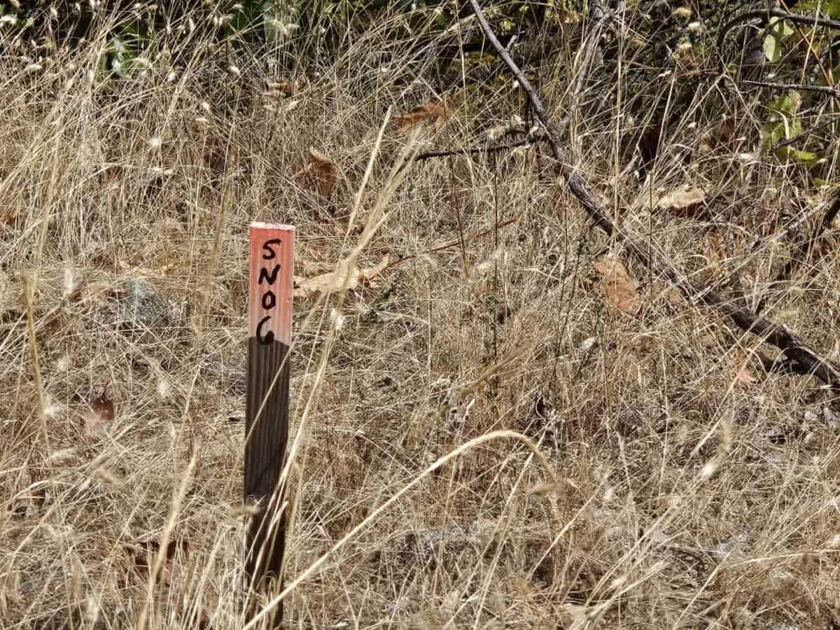
FS 5N06

Total Miles5
Technical Rating
1Easy
Best TimeSpring, Summer, Fall
Trail TypeFull-Width Road
Accessible By
Open Trail Map

Trail Overview

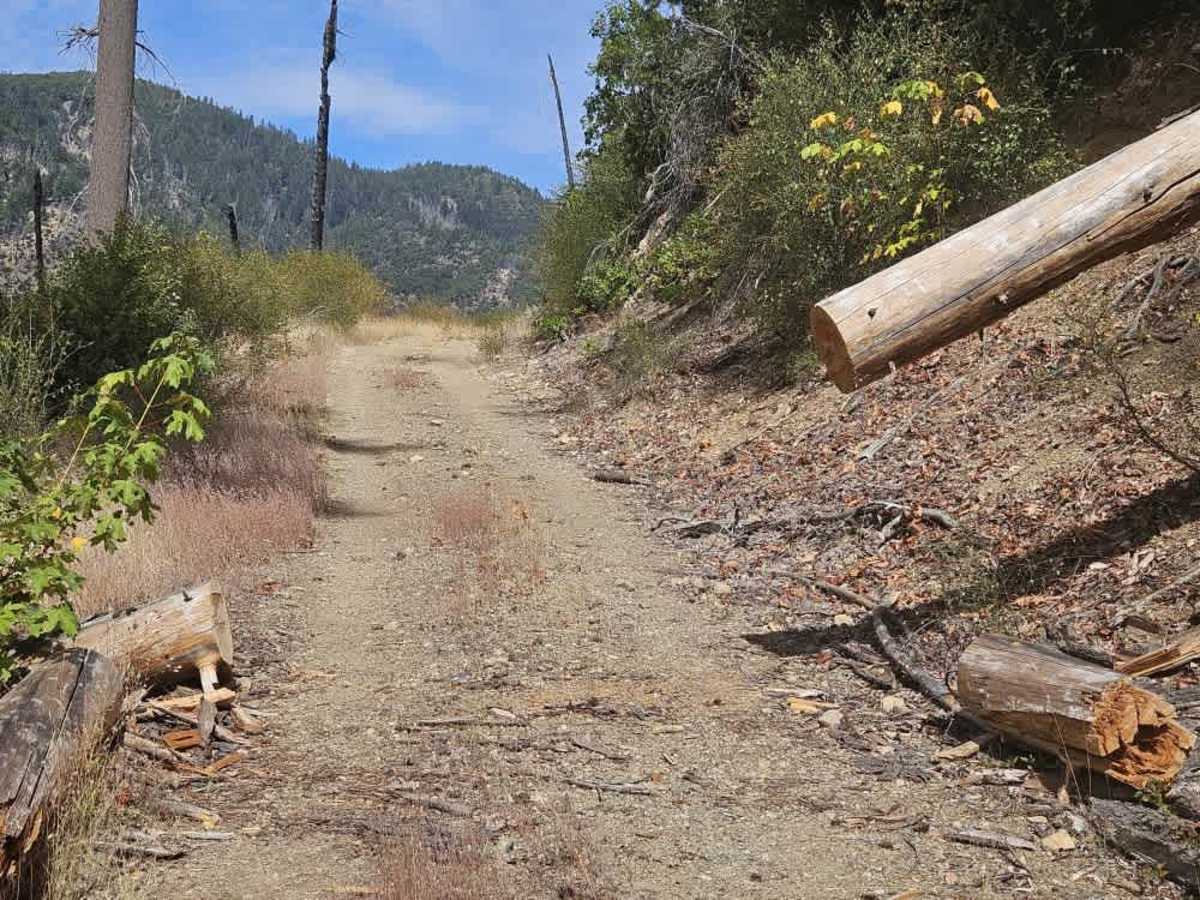
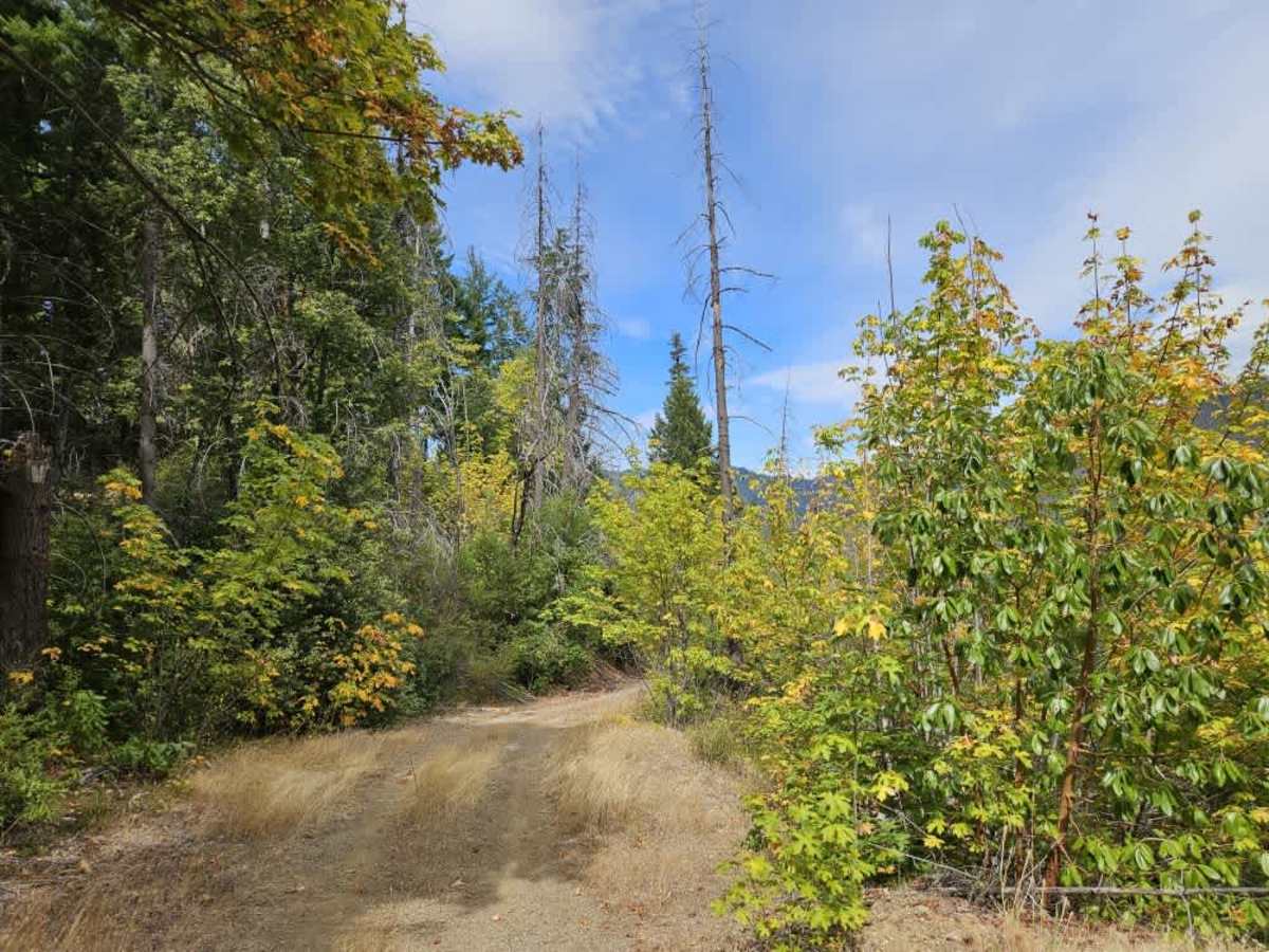
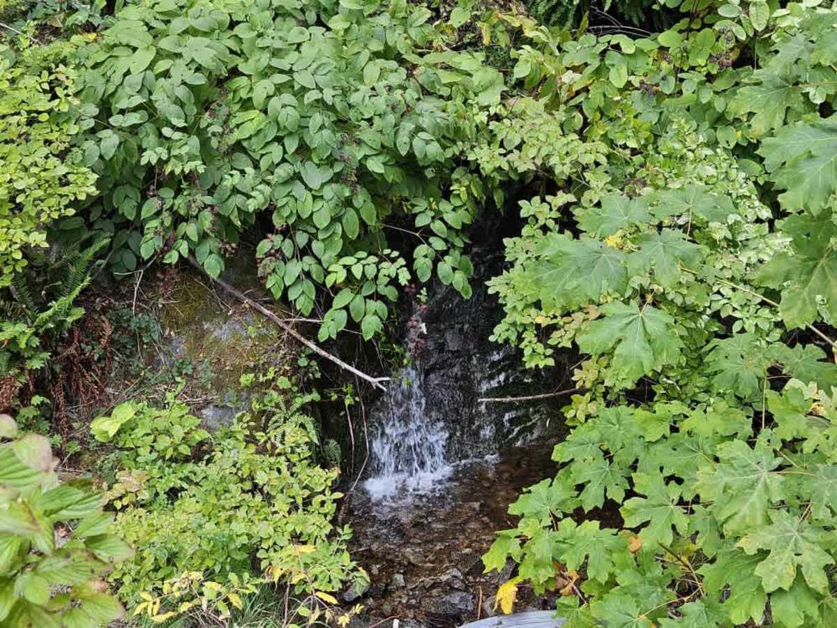
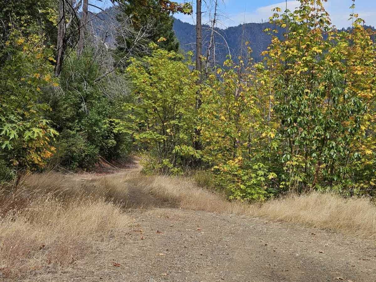
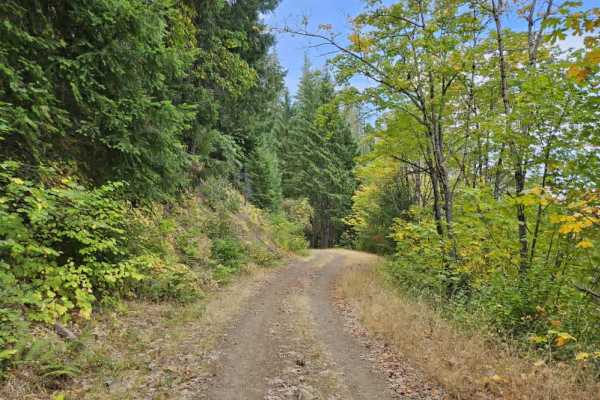
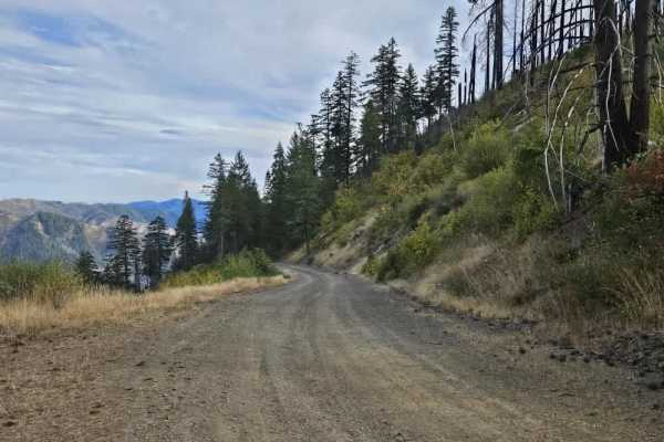
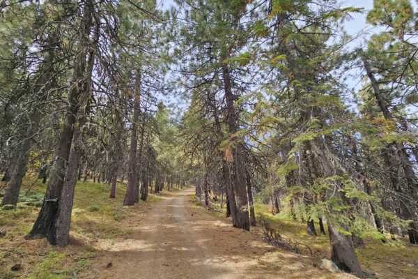
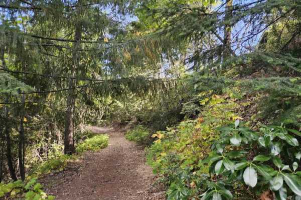
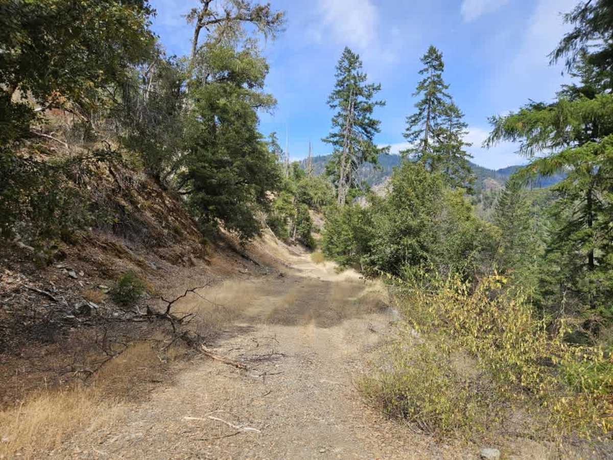
This trail winds steadily downhill through the forest, with several switchbacks, steep drop-offs, and sections that require careful navigation around fallen or broken trees. Most of the larger trees have been cleared from the route, but overgrowth and other obstacles remain common. The scenery changes as you descend, starting with a lush, green forest before gradually becoming more open and grassy as the trail reaches the valley and approaches the creek. Several small clearings along the route could be used for dispersed camping. These areas are surrounded by tall grass, so use extra caution with fire and avoid creating a wildfire risk. The road continues beyond this mapped route, but becomes increasingly overgrown and eventually blocked by more fallen trees. There are no facilities or cell phone reception along the trail. ATVs, UTVs, Side-by-Sides, and Dirt Bikes must always have a valid California ATV Operating Permit sticker.

Photos of FS 5N06

Difficulty

The winding descent is manageable overall, but steep drop-offs and fallen trees require caution.

Technical Rating

1

FS 5N06 Trail can be accessed by the following ride types:

  • Single Track
  • 50 Inch
  • 60 Inch
  • High Clearance
  • Full Width

FS 5N06 Map

The onX Offroad Difference

onX Offroad combines trail photos, descriptions, difficulty ratings, width restrictions, seasonality, and more in a user-friendly interface. Available on all devices, with offline access and full compatibility with CarPlay and Android Auto. Discover what you're missing today!

Open Trail Map