Trail Overview
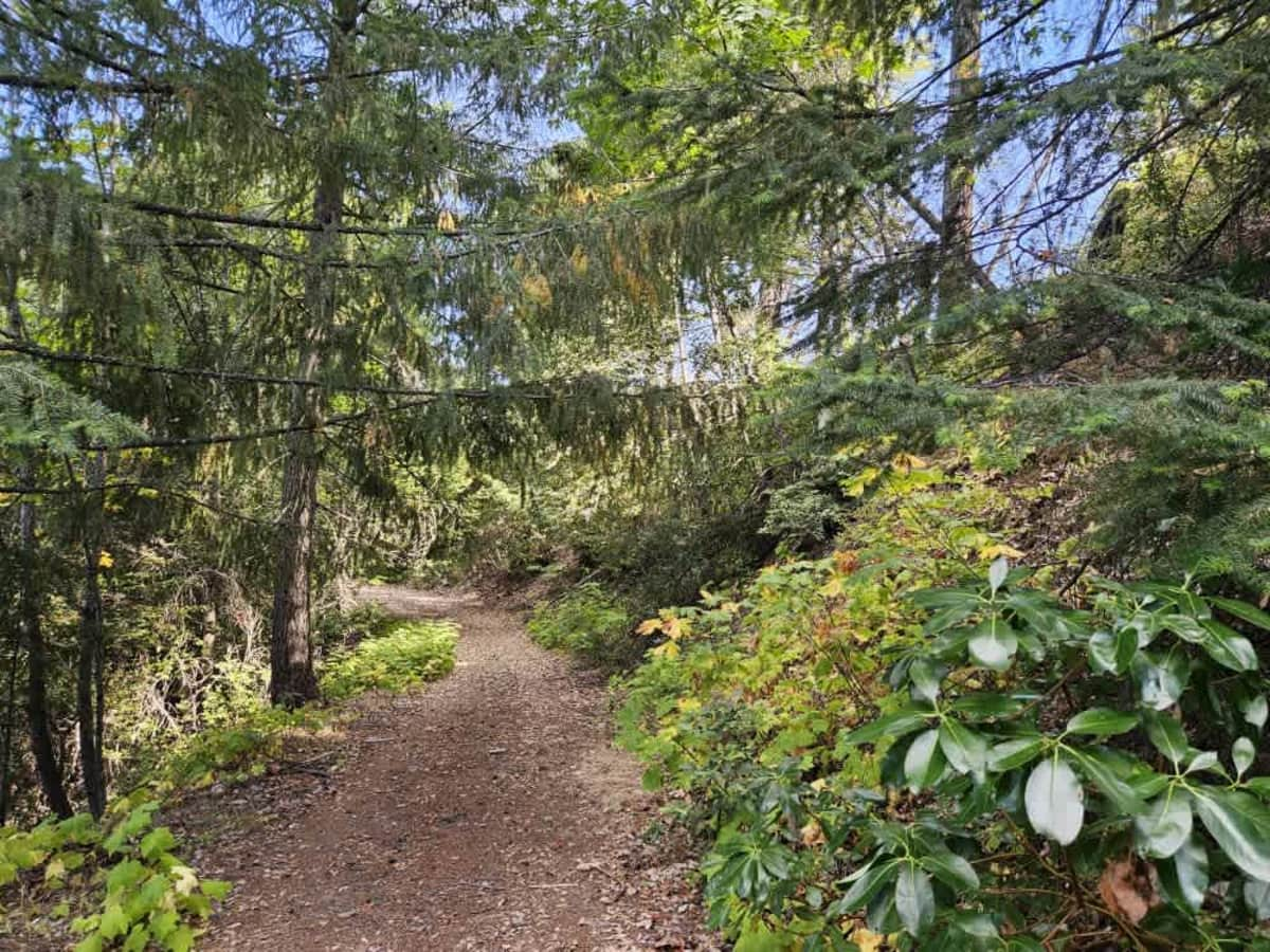
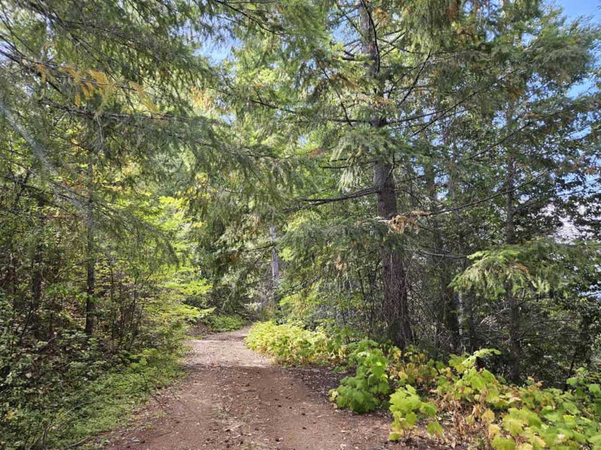
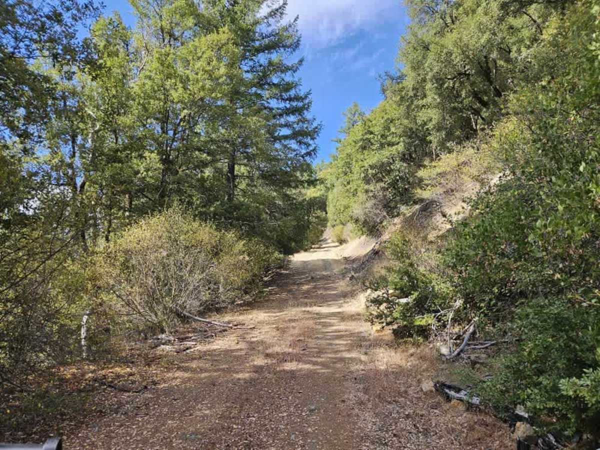
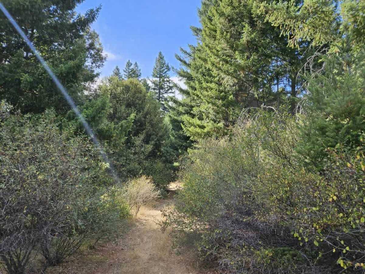
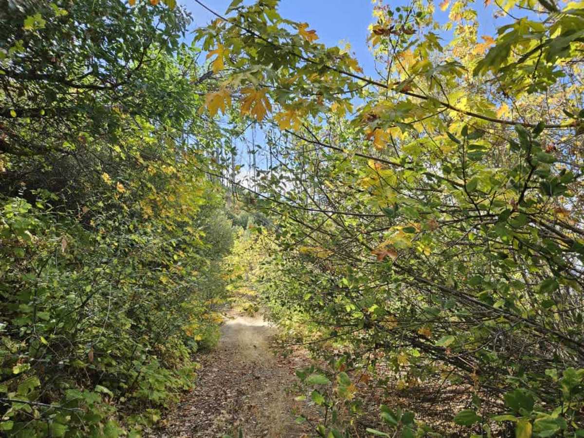
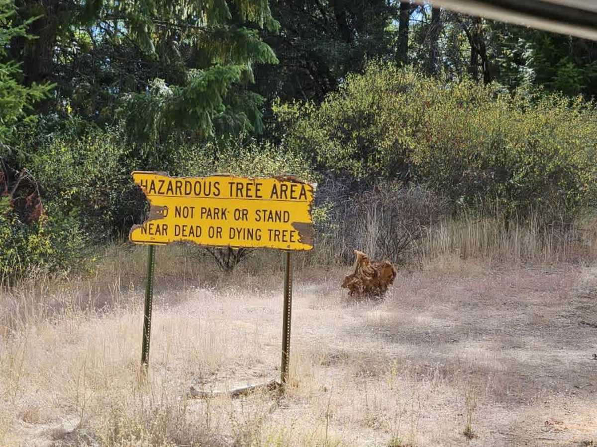
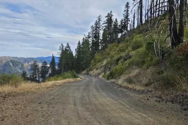
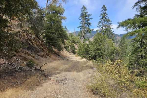
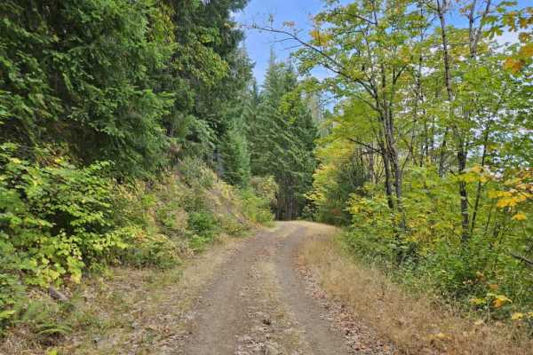
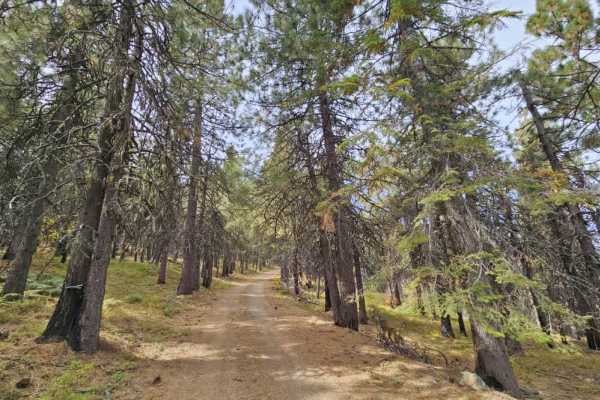
This trail starts out in fairly good condition before immediately climbing along the side of the mountain. A sign at the beginning warns of hazardous trees and advises against parking or standing near dead or dying trees. The trail is somewhat off-camber in places, with rocky sections and a grassy center, but the initial portion is manageable. It soon reaches a clearing that could support dispersed camping, and the tire tracks leading to it suggest regular use. Beyond the clearing, conditions change significantly. The trail becomes narrow, heavily overgrown, and increasingly difficult to navigate, with steep exposure along the mountain edge, rocks, and broken trees obstructing the route. A few small clearings provide places to turn around, but the remaining route suits Side-by-Sides and other small vehicles better. No facilities are available along the trail. ATVs, UTVs, Side-by-Sides, and Dirt Bikes must always have a valid California ATV Operating Permit sticker.
Difficulty
The combination of overgrowth, narrow terrain, and exposure makes this a precarious route that requires extreme caution.