
Dirt Bike Trails
Near Olancha, California
Explore All Dirt Bike Trails Near Olancha, California
Dirt Bike Trails Near Olancha, California
Discover the best dirt bike trails near you. Browse trail maps, check difficulty ratings, and find your next adventure — whether you're looking for a quick ride or an all-day expedition.
Fall Road North
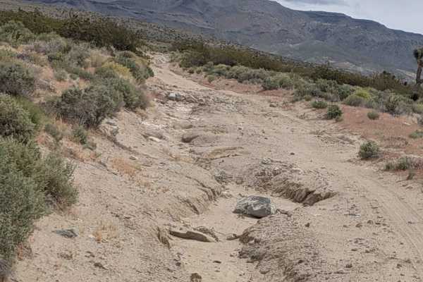
Fall Road begins off Old US-395 at the edge of Olancha, threading through a low-desert farming area lined with juniper trees and scattered Joshua trees. The first mile is relatively calm. It is a flat, sandy, and shaded by the junipers as the trail eases away from the highway corridor. Around mile ...
Learn more about Fall Road North
BLM SE743
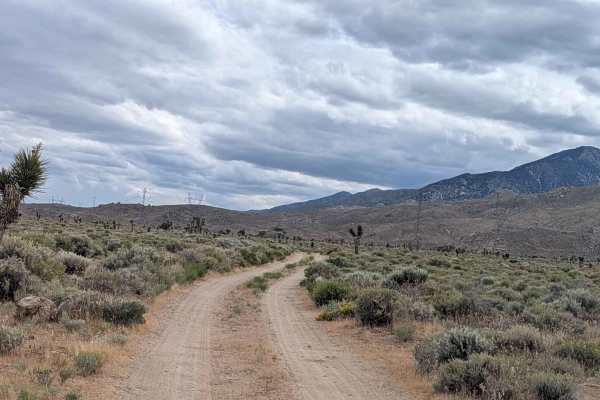
BLM SE743 is a short, accessible out-and-back spur that branches off Walker Creek Road and makes for an easy add-on to that route or a standalone mellow desert run. The trail travels through open BLM land before terminating at a locked gate marking the boundary of private property, which is the site...
Learn more about BLM SE743
BLM SE740
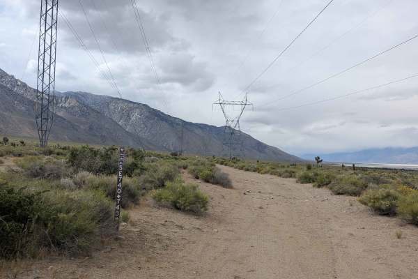
BLM SE740 is a trail tracing a course parallel to US-395 beneath a series of power line corridors. The route offers a useful link trail in the Olancha area network while delivering a solid mix of soft sand, light technical terrain, and open desert scenery. The surface is soft sand throughout, with e...
Learn more about BLM SE740
BLM SE741
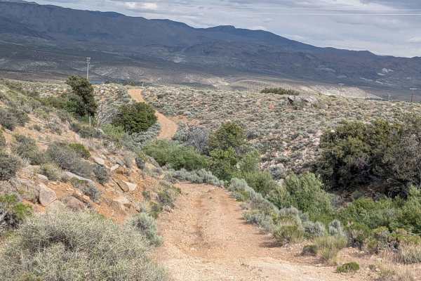
BLM SE741 picks up from the south end of BLM SE740 and continues the power line corridor through open Owens Valley desert, rolling up and down hills and threading through small washes in a meandering route that gradually reveals its teeth before ending at Sage Flat Road. The surface is loose sand wi...
Learn more about BLM SE741
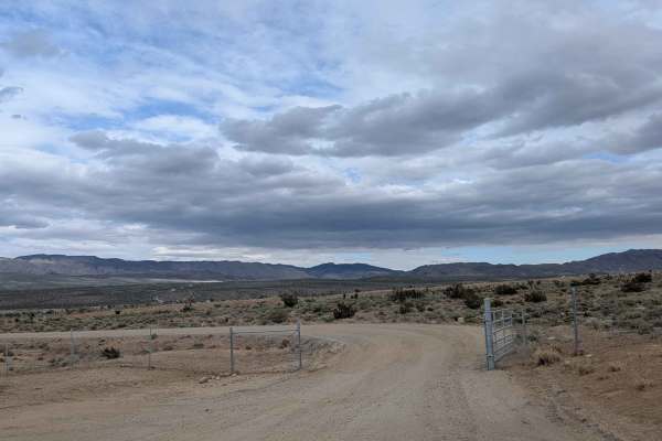
North Haiwee Road
North Haiwee Road departs from the CA-190 / US-395 junction and makes a run through open desert toward the North Haiwee Reservoir, one of the storage facilities in the Los Angeles Aqueduct system. The hard-packed sand surface and generous two-vehicle width make this one of the more approachable trai...
Learn more about North Haiwee Road
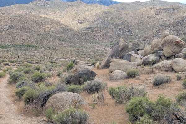
BLM SE741a
The trail departs from the intersection of BLM SE741 and SE740, making a circuit through the open desert foothills before rejoining SE741. The mixed surface of hard-packed sand in places, loose sand with embedded rocks and boulders in others, keeps conditions variable and attentive driving rewarded....
Learn more about BLM SE741a
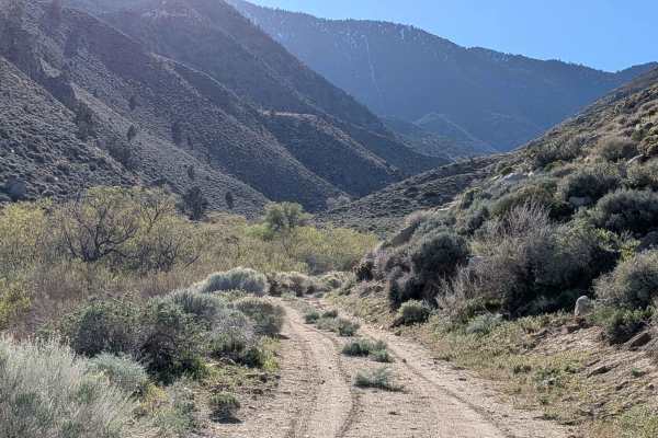
Haiwee Canyon Road - BLM SE776
This limited-use area trail cuts across Highway 395, starting just above the South Haiwee Reservoir, a private lake owned by the Los Angeles Department of Water and Power (LADWP). Hard-packed sand with embedded rocks forms the surface as it slowly climbs from the reservoir. The route is open to both...
Learn more about Haiwee Canyon Road - BLM SE776
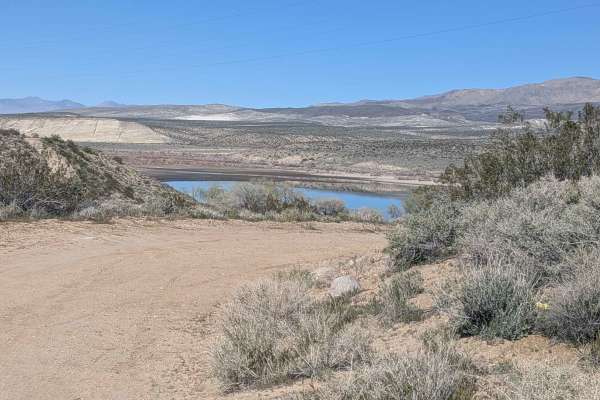
BLM SE781
This 1.5 vehicle-wide sandy trail follows power lines while offering views of both the Coso Range Mountains and Eastern Sierra Mountains, creating layered scenery. Nice views of the Haiwee Reservoir appear as you navigate. The route is lined with lots of smoke trees and other brush, with a few Joshu...
Learn more about BLM SE781
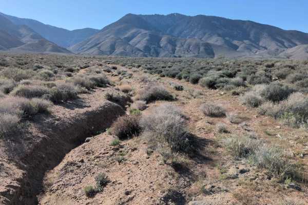
BLM 37E402
Starting just off Highway 395 on the north side with no access from southbound lanes, this sandy route navigates through lush desert flora, including large Joshua trees, smoke trees, and creosote bushes, creating unusually dense vegetation. Overgrown bushes crowd the middle of the path, growing thic...
Learn more about BLM 37E402
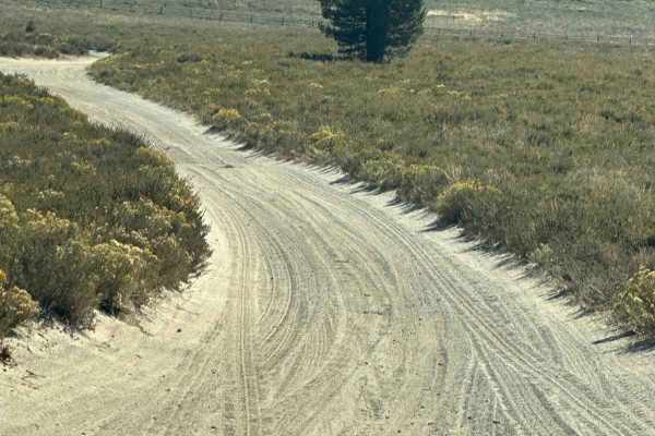
Monache Meadow - 20S05 Loop
Scenic off-road route through Monache Meadows in the southern Sierra Nevada. The trail travels through a large high-elevation meadow surrounded by pine-covered mountains, with wide-open views, sandy two-track roads, and access to the South Fork of the Kern River.
Most of the route is relatively easy...
Learn more about Monache Meadow - 20S05 Loop
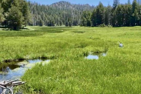
Albinita
This is another great trail here--a nice wide single track winding through the forest. It passes through a couple of nice meadows and there are quite a few creek crossings to look out for. The rock sections are not too bad. There are a couple of sand sections but they're not too serious.
Learn more about Albinita
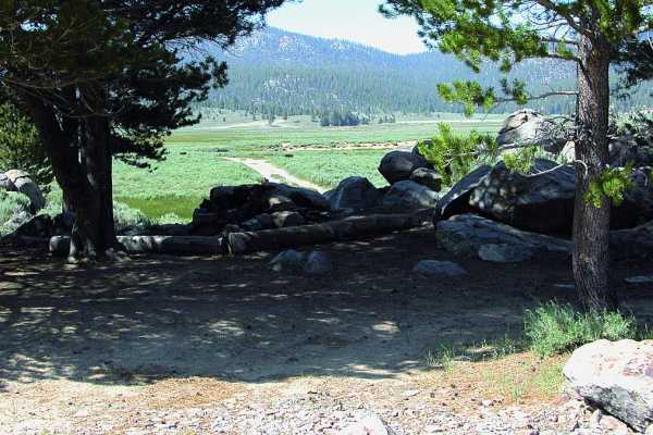
Monache Meadows
Monache Meadows is a scenic, remote off-highway haven perfect for high-clearance four-wheel-drive vehicles, offering access to one of the largest meadows in the Sierra Nevada. This 9-mile route weaves through a high-elevation valley situated between 7,800 and 8,600 feet, surrounded by pristine wilde...
Learn more about Monache Meadows
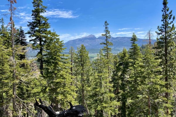
Jackass Peak
This single-track trail has a lot of off-camber sections with mostly embedded rocks. There are plenty of roots and cut logs to squeeze through. It has some awesome elevation changes with some crazy views. There is one very tight switchback to be aware of and a couple of small water crossings.
Learn more about Jackass Peak
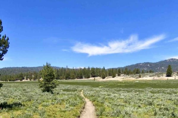
Granit/Broder
This trail crosses through a couple of really nice meadows with water. It has some sand sections and a couple of nice rock sections as well. There are trees down everywhere but they are cut around the trail. The usual forest single-track conditions can be expected. This is a very fun trail.
Learn more about Granit/Broder
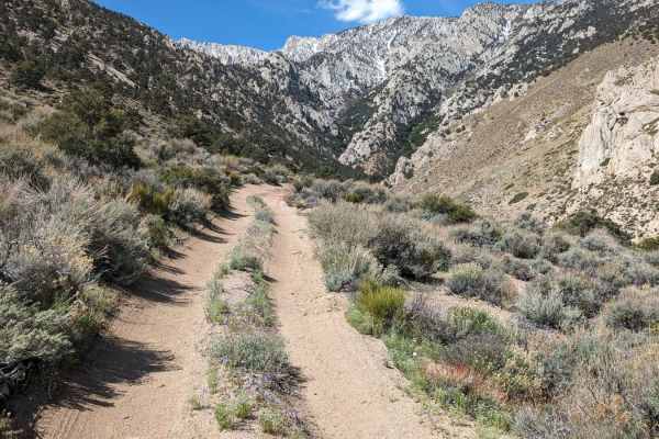
South Fork Lubken Creek Canyon Loop
This 2-mile "loop" starts at 5,285 feet of elevation and rises to 5,865 feet. The trail is sandy with a few rocky sections. There are also a few sections with ruts due to snowmelt and rain run-off. High-clearance vehicles are recommended. The trail turns more challenging as you rise into the canyon....
Learn more about South Fork Lubken Creek Canyon Loop
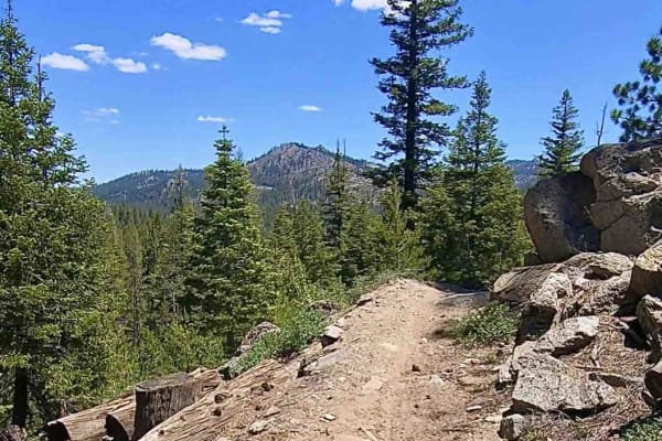
Beach Ridge Trail
This is another fun scenic single track that comes equipped with a couple of rock sections and some sand. There are a couple of creek crossings, one of which could get a little spicy with the runoff from the snowmelt. Overall, it's a great trail to hit from the nearby campground.
Learn more about Beach Ridge Trail
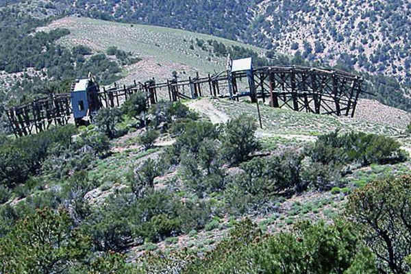
Swansea-Cerro Gordo Road
Road climbs rapidly through wilderness corridor to ridge atop Inyo Mountains. Great views, wildflowers and historical mining structures including a large tramway station. Route goes past Cerro Gordo Mines and Ghost Town. This private property was once open to guided tours, but an online posting says...
Learn more about Swansea-Cerro Gordo Road
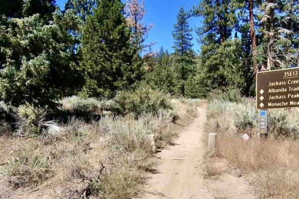
Jackass Creek
This is one of the most fun trails out here--nothing but single-track. Some areas are a little wider than others. It has its fair share of rocks, sand, and roots with some great elevation changes. There are creek crossings and you might find some mud as well. Expect some fun switchbacks. It is a sea...
Learn more about Jackass Creek
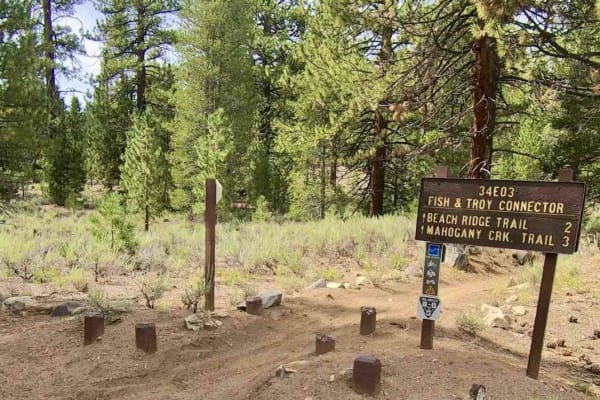
Campground Connector
A nice, easy, and wide single track that has a really nice flow to it, this trail connects Troy Meadow Campground with Fish Creek Campground, another super fun single track in the area. There will be hikers, mountain bikers, and people strolling around in the area, so be aware.
Learn more about Campground Connector
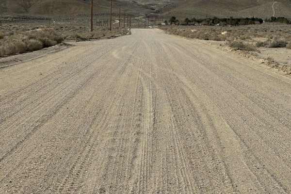
Reward Access
This route runs from Boulder Creek RV camp to the Reward Mine area. There are dirt trails shown next to Highway 136, but they are gone and fenced off, so you need to run 0.7 miles on asphalt. Most of this is wide open, two-lane, but near the Owens River, it is a single vehicle trail.
Learn more about Reward Access
ATV trails near Olancha, California
Explore ATV-friendly trails near you. These trails are accessible for vehicles up to 50 inches wide, perfect for ATVs and smaller off-road machines.
Fall Road North
Fall Road begins off Old US-395 at the edge of Olancha, threading through a low-desert farming area lined with juniper trees and scattered Joshua trees. The first mile is relatively calm. It is a flat, sandy, and shaded by the junipers as the trail eases away from the highway corridor. Around mile ...
Learn more about Fall Road North
BLM SE743
BLM SE743 is a short, accessible out-and-back spur that branches off Walker Creek Road and makes for an easy add-on to that route or a standalone mellow desert run. The trail travels through open BLM land before terminating at a locked gate marking the boundary of private property, which is the site...
Learn more about BLM SE743
BLM SE740
BLM SE740 is a trail tracing a course parallel to US-395 beneath a series of power line corridors. The route offers a useful link trail in the Olancha area network while delivering a solid mix of soft sand, light technical terrain, and open desert scenery. The surface is soft sand throughout, with e...
Learn more about BLM SE740
BLM SE741
BLM SE741 picks up from the south end of BLM SE740 and continues the power line corridor through open Owens Valley desert, rolling up and down hills and threading through small washes in a meandering route that gradually reveals its teeth before ending at Sage Flat Road. The surface is loose sand wi...
Learn more about BLM SE741
UTV/side-by-side trails near Olancha, California
Find UTV and side-by-side trails near you. These trails accommodate vehicles up to 60 inches wide, ideal for UTVs, side-by-sides, and wider off-road rigs.
Fall Road North
Fall Road begins off Old US-395 at the edge of Olancha, threading through a low-desert farming area lined with juniper trees and scattered Joshua trees. The first mile is relatively calm. It is a flat, sandy, and shaded by the junipers as the trail eases away from the highway corridor. Around mile ...
Learn more about Fall Road North
BLM SE743
BLM SE743 is a short, accessible out-and-back spur that branches off Walker Creek Road and makes for an easy add-on to that route or a standalone mellow desert run. The trail travels through open BLM land before terminating at a locked gate marking the boundary of private property, which is the site...
Learn more about BLM SE743
BLM SE740
BLM SE740 is a trail tracing a course parallel to US-395 beneath a series of power line corridors. The route offers a useful link trail in the Olancha area network while delivering a solid mix of soft sand, light technical terrain, and open desert scenery. The surface is soft sand throughout, with e...
Learn more about BLM SE740
BLM SE741
BLM SE741 picks up from the south end of BLM SE740 and continues the power line corridor through open Owens Valley desert, rolling up and down hills and threading through small washes in a meandering route that gradually reveals its teeth before ending at Sage Flat Road. The surface is loose sand wi...
Learn more about BLM SE741
The onX Offroad Difference
onX Offroad combines trail photos, descriptions, difficulty ratings, width restrictions, seasonality, and more in a user-friendly interface. Available on all devices, with offline access and full compatibility with CarPlay and Android Auto. Discover what you're missing today!
Open Trail Map