Trail Overview
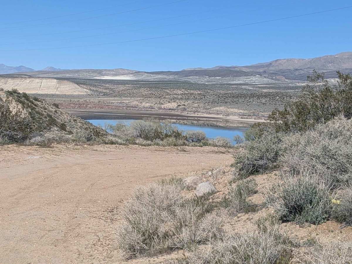
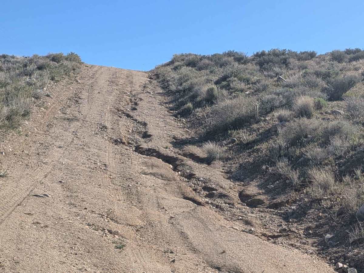
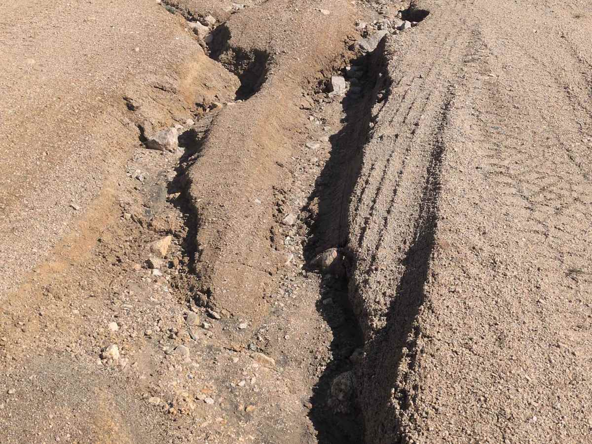
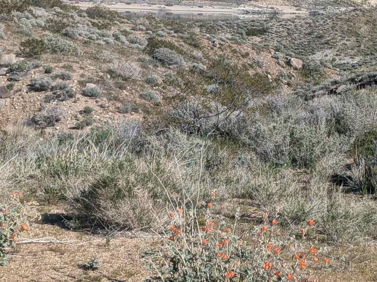
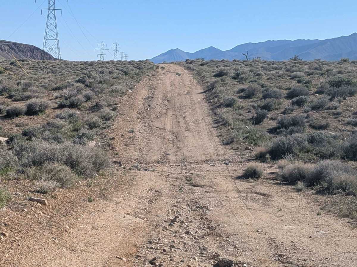
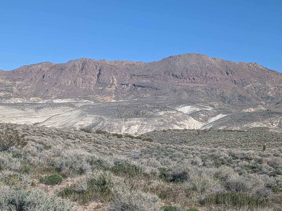
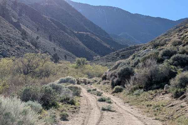
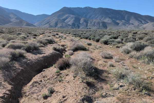
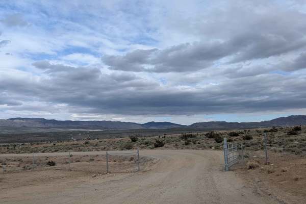
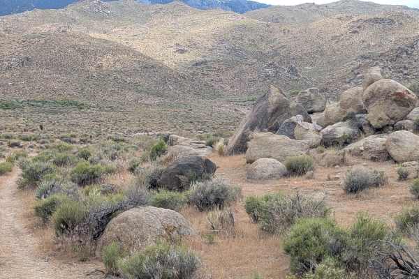
This 1.5 vehicle-wide sandy trail follows power lines while offering views of both the Coso Range Mountains and Eastern Sierra Mountains, creating layered scenery. Nice views of the Haiwee Reservoir appear as you navigate. The route is lined with lots of smoke trees and other brush, with a few Joshua trees adding to the vegetation. The trail winds up and down hills and along a short shelf road section, introducing elevation changes and exposure. A few sections feature runoff ruts plunging up to 8 inches deep, cutting across your path.
Difficulty
Those runoff ruts up to 8 inches deep demand clearance and careful navigation to avoid high centering or damage. The winding hills create elevation changes requiring momentum management. The short shelf road section introduces exposure requiring attention to the edge. Sandy surface throughout needs traction management, and airing down helps. The 1.5 vehicle width provides adequate room but not an excessive margin. High clearance handles the deeper ruts comfortably. Power lines provide excellent navigation reference.