Trail Overview
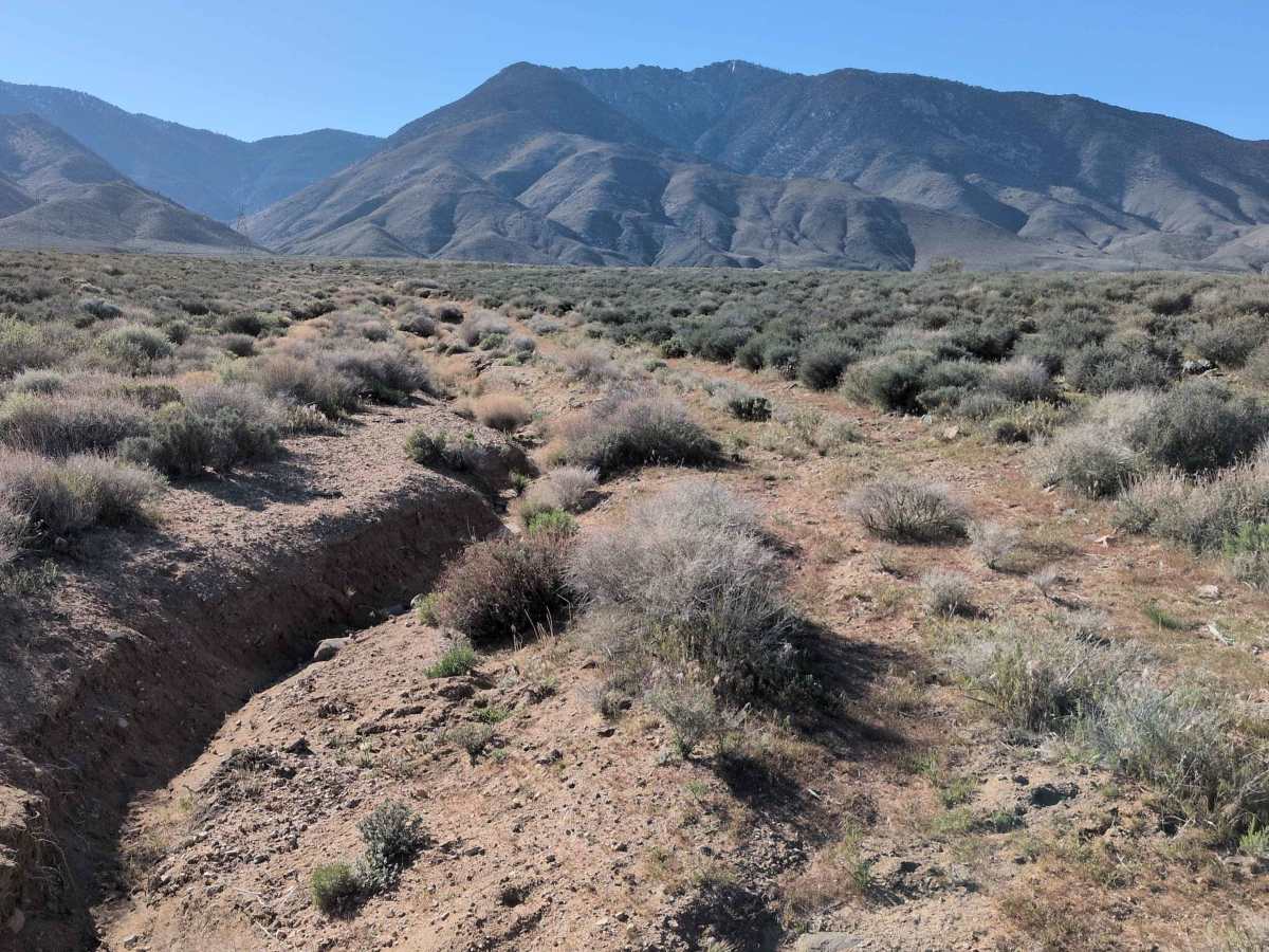
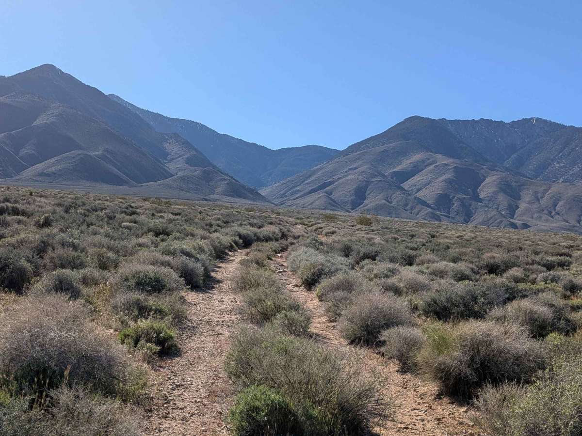
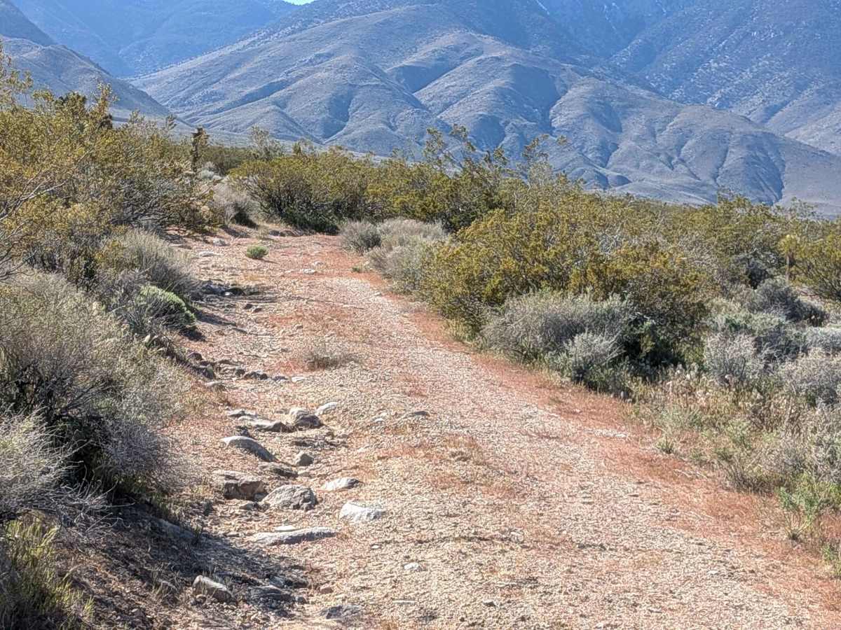
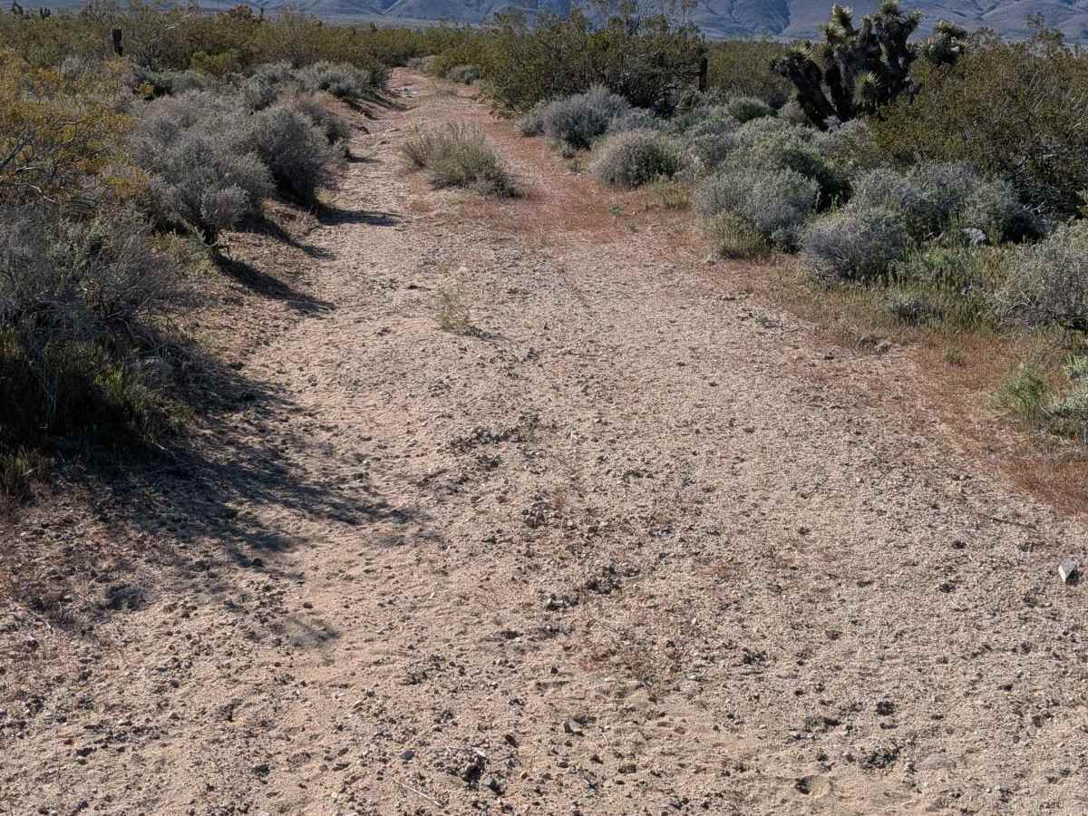
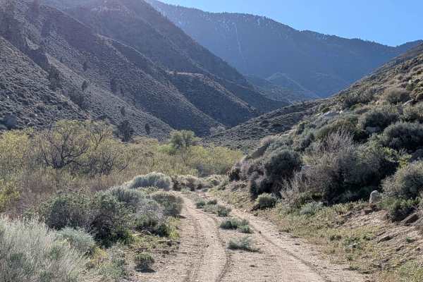
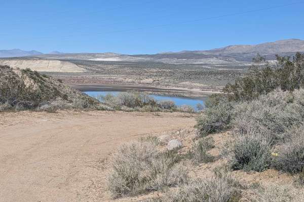
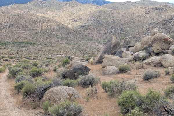
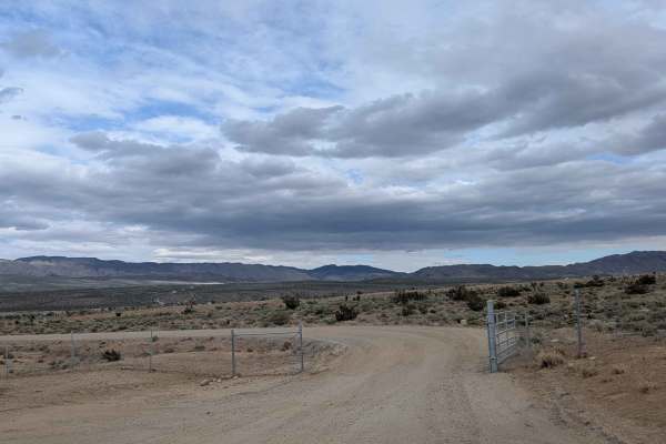
Starting just off Highway 395 on the north side with no access from southbound lanes, this sandy route navigates through lush desert flora, including large Joshua trees, smoke trees, and creosote bushes, creating unusually dense vegetation. Overgrown bushes crowd the middle of the path, growing thicker as you head north and narrowing your line choices. Great views of the Eastern Sierras and Coso Range provide mountain backdrops. Loose sand with some larger embedded rocks forms the surface alongside some off-camber sections, tilting the route. A cattle gate requires passing through and closing behind you. Some ruts and rocky sections punctuate the sandy terrain. This is BLM land.
Difficulty
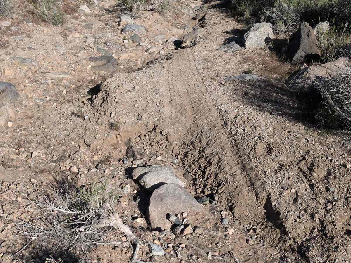
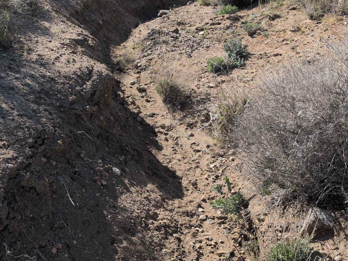
The sand is airing down for traction. Those larger embedded rocks require careful line selection to avoid tire damage or undercarriage strikes. Off-camber sections add tilt challenges. The overgrown bushes getting thicker heading north create navigation difficulty and potential vehicle contact. Ruts and rocky sections combine challenges. High clearance and four wheel drive handle the varied obstacles. Remember to close the cattle gate.