Reward Access

Total Miles20.4
Technical Rating
1Easy
Best TimeSummer, Fall
Trail TypeFull-Width Road
Accessible By
Open Trail Map

Trail Overview

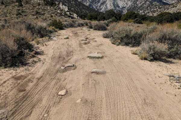
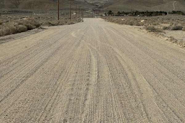
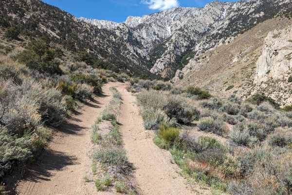
This route runs from Boulder Creek RV camp to the Reward Mine area. There are dirt trails shown next to Highway 136, but they are gone and fenced off, so you need to run 0.7 miles on asphalt. Most of this is wide open, two-lane, but near the Owens River, it is a single vehicle trail.

Photos of Reward Access

Difficulty

This trail is easily passable in good weather conditions with minimal obstacles or technical challenges, but it may be impassible in the winter next to the Owens River.

Technical Rating

1

Status Reports

Add Status Report
Dusty Miles
Nov 07, 2026
Open
NormalDustyRough/Deteriorated
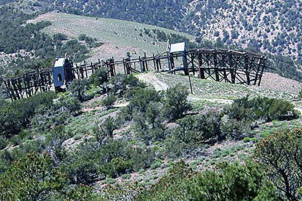
This route is easiest to start from Highway 136. Once you turn off, follow the map closely. There are multiple access roads along the way, and it’s easy to end up on a DWP access road or the old train route. The train route(Owenyo Lone Pine Road) is a long off-camber ride with washouts in several areas. If you end up on it, the DWP access road runs right next to it almost all the way down to the Manzanar Reward Road turnoff, so you have a way out. Look ahead and watch your speed. It’s a fun road with great views of the mountains and plenty of old mine sites along the way. This route is fine for most higher clearance vehicles and motorcycles.
Ezio
Apr 14, 2026
2005 Subaru Forester XS
Open
Long, flat, poorly paved, boring. The only reason you're here is to access the BLM land or to access the reward mine. If you are coming through here to access the reward mine, I suggest you take the 395 to manzanar and cut over. If you have a pre-runner, this could be a fun road to go rip, you can get pretty fast on the flat long zones. Otherwise, just a boring access road.

Reward Access Trail can be accessed by the following ride types:

  • Single Track
  • 50 Inch
  • 60 Inch
  • High Clearance
  • Full Width

Reward Access Map

The onX Offroad Difference

onX Offroad combines trail photos, descriptions, difficulty ratings, width restrictions, seasonality, and more in a user-friendly interface. Available on all devices, with offline access and full compatibility with CarPlay and Android Auto. Discover what you're missing today!

Open Trail Map