Trail Overview
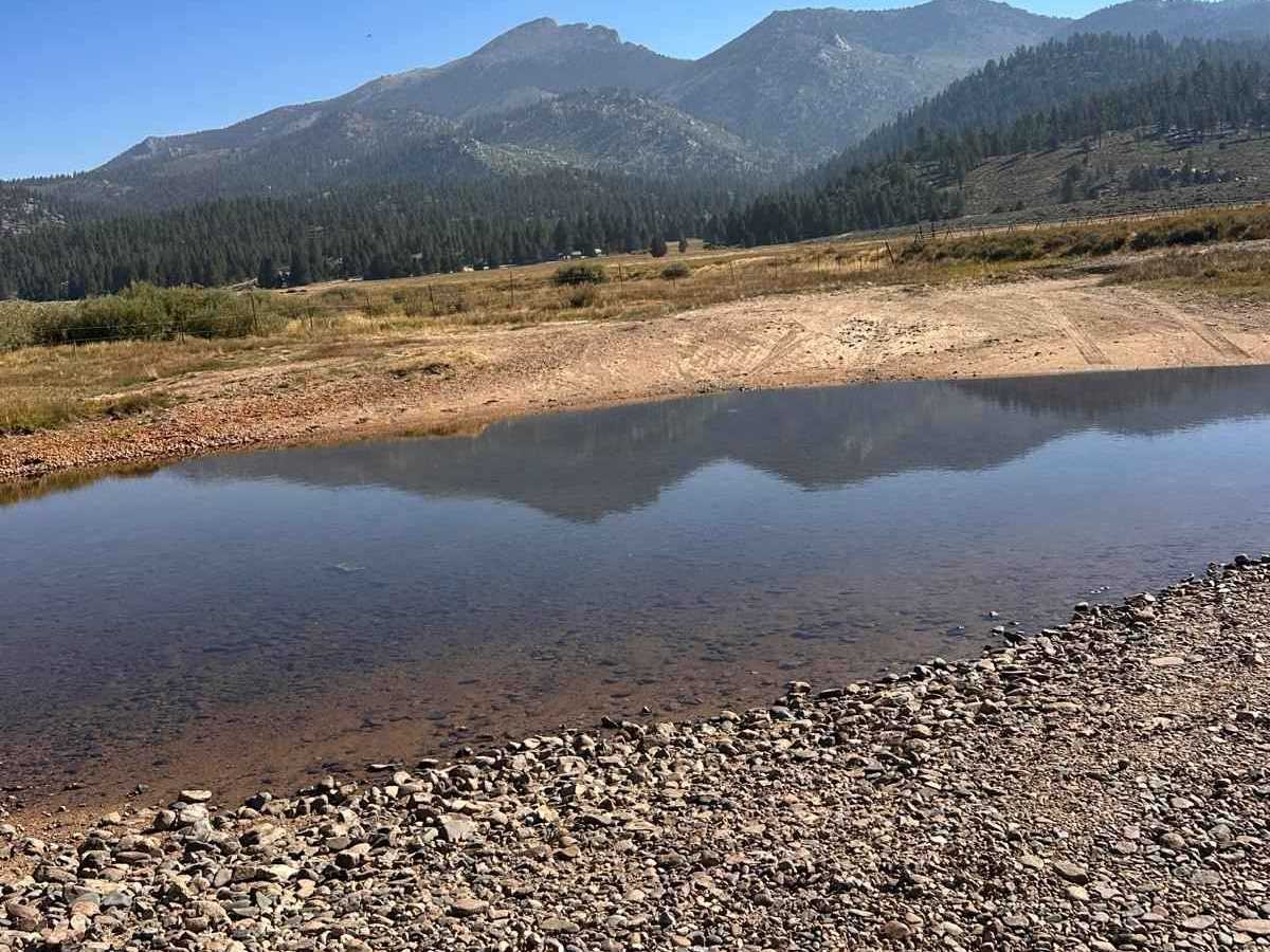
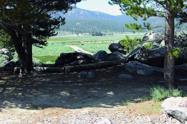
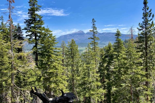
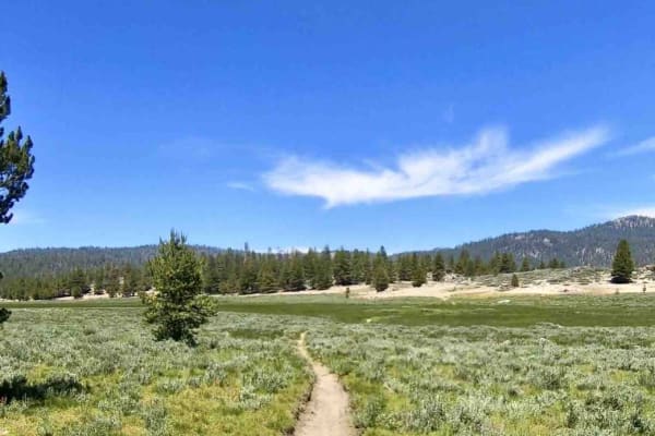
Scenic off-road route through Monache Meadows in the southern Sierra Nevada. The trail travels through a large high-elevation meadow surrounded by pine-covered mountains, with wide-open views, sandy two-track roads, and access to the South Fork of the Kern River.
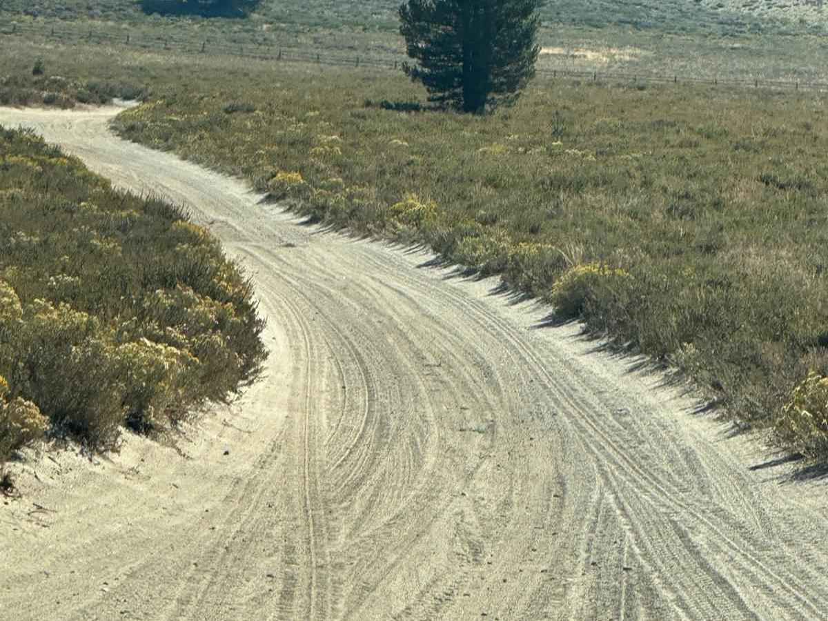
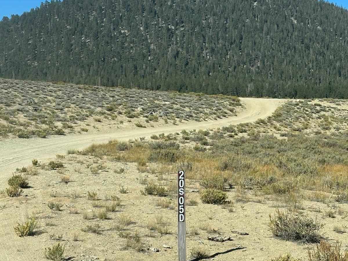
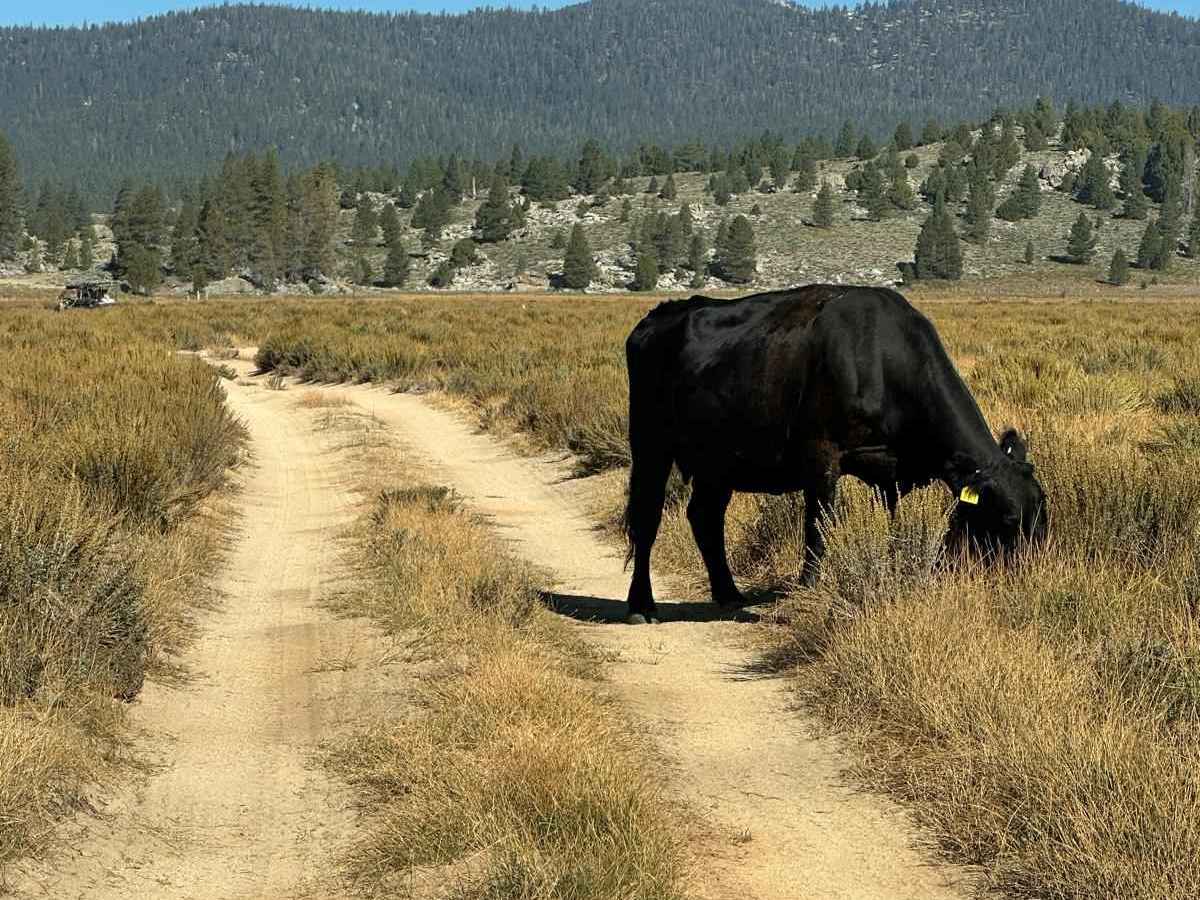
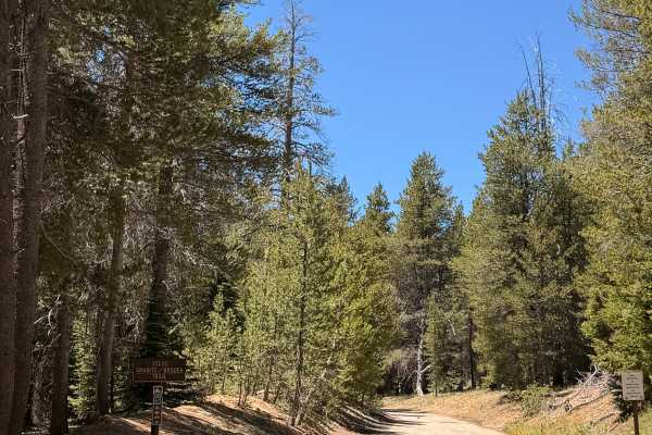
Most of the route is relatively easy, consisting of dirt and sandy roads with some loose sections, ruts, and uneven terrain. The meadow portion is especially scenic and makes for a relaxed drive with plenty of places to stop and enjoy the views. The route shown is a loop through the meadow using Forest Road 20S05 and connecting trails.
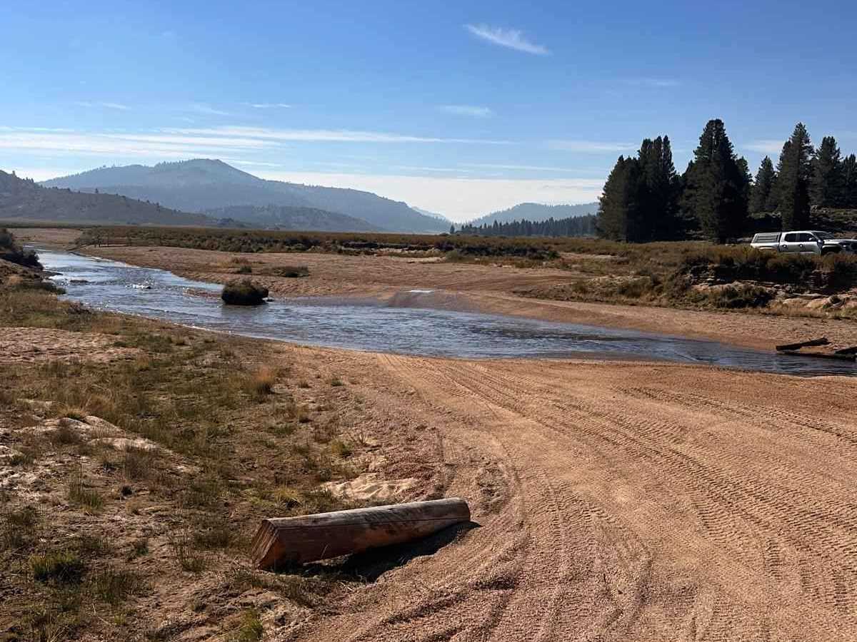
Depending on the season and recent weather, trail conditions can change considerably, particularly around the meadow and river.
Difficulty
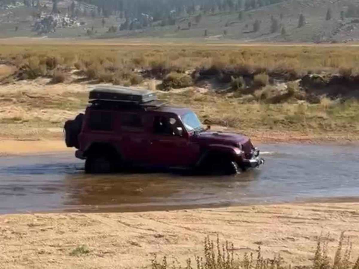
3, only because of the two water-crossing sections, where water depth can vary significantly depending on the season and recent weather. Otherwise, the trail is mostly easy dirt and sandy two-track, loose sand, and shallow ruts. There are no major technical obstacles in dry conditions.