
Dirt Bike Trails
Near Moriarty, New Mexico
Explore All Dirt Bike Trails Near Moriarty, New Mexico
Dirt Bike Trails Near Moriarty, New Mexico
Discover the best dirt bike trails near you. Browse trail maps, check difficulty ratings, and find your next adventure — whether you're looking for a quick ride or an all-day expedition.

Poker Chip
Poker Chip is a 4.5-mile single track on the east side of the Manzanita Mountain Trail System. The north end connects to Bear Scat, while the south end starts on Mahogany. Going south to north, it starts out as a rocky trail with meandering tight curves, lots of embedded chunky rock, and small ledge...
Learn more about Poker Chip
Caida del Pino
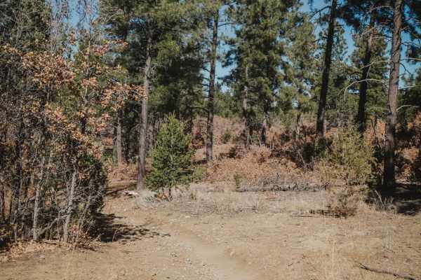
This is a short trail that connects Gamble Oak to Easy Pickin. It's pretty wide like an ATV trail for the entire 0.6 miles, meandering through an oak and pine forest, with small rocks embedded in the dirt. Unlike many of the surrounding trails, this one has no big rock ledges or obstacles, making it...
Learn more about Caida del Pino
Gamble Oak
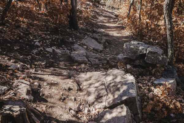
Gamble Oak is a 2.2-mile single-track trail that makes a semi-loop with Poker Chip and Mahogany. The north end starts off with Poker Chip and starts out super easy in a gamble oak forest. It crosses several intersections, all of which all well marked, so the trail is easy to follow. It starts to hav...
Learn more about Gamble Oak
Mahogany
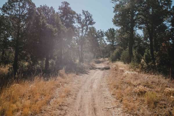
Mahogany starts on the north end from a large dirt staging area off of Juan Tomas Road with plenty of places to park, across from the entrance to the Bear Scat trail. Going south, it starts as a super-fast, smooth, and flowy trail. It's very easy, and sometimes as wide as a road, with light curves. ...
Learn more about Mahogany
Oak Flat Connector
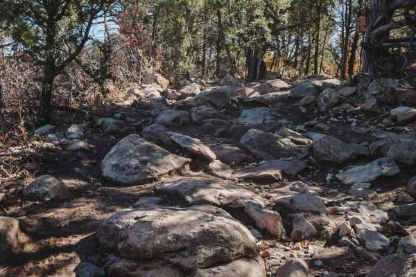
Oak Flat Connector is a 0.8-mile single track on the south end of the Manzanita Mountain Trail System. Although short, it has some moderately challenging rock sections that will start your ride off with a fun challenge if starting from the Oak Flat Trailhead. The south end starts out at the Oak Flat...
Learn more about Oak Flat Connector
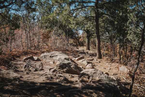
Easy Pickin
This is an easy single track on the south end of the Manzanita Mountain Trail System. It starts on the east side as a wide and smooth dirt trail similar to the southern beginning of Mahogany. It's wide like an ATV trail with one section of embedded chunky rock, but they're small and flat rocks so it...
Learn more about Easy Pickin

Pine Loop
Pine Loop is a 1.6-mile trail that makes a loop with Gamble Oak and Pine Flat Connector. Starting on the west end, it steadily climbs up from the intersection with Pine Flat Connector on a pretty easy trail with several rocky sections. It starts out in a ravine but has sections of rocks that are lik...
Learn more about Pine Loop

Deadman
Deadman is an easy/moderate single track in the Manzanita Mountain trail system near Albuquerque, New Mexico. The northern half of the trail is a fast ripper; it's smooth with no rocks. The trees aren't so closely lining the trail here, and there are big straight sections, so you can get going fast....
Learn more about Deadman
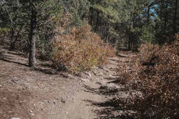
Pine Flat Connector
Pine Flat Connector starts on the north end at a large trailhead with pull-through parking spaces for trailers. It starts out as a very wide dirt road, then narrows up into a single track and drops down to the intersection with Deadman on a smooth dirt trail. From here, you can continue to climb up ...
Learn more about Pine Flat Connector
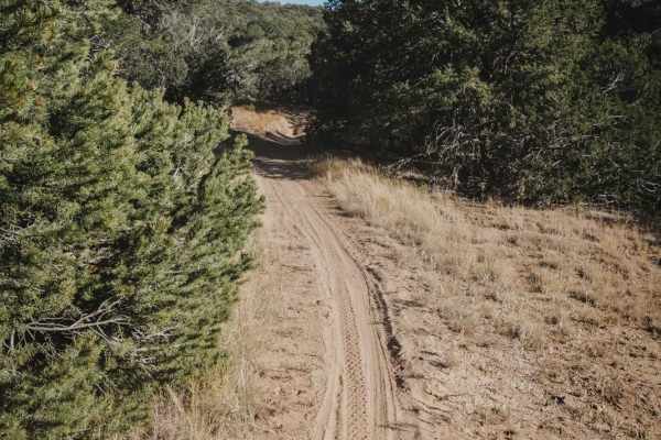
Pinyon
Pinyon is one of the easier trails in the Manzanita Mountain Trail System near Albuquerque, New Mexico. It is mostly a fast and flowy dirt trail, with sections of banked corners and easy light curves. It has two rockier climbs/descents that are a bit steeper with loose rock and very small ledges, bu...
Learn more about Pinyon
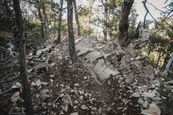
Bear Scat
Bear Scat is an intermediate single track with several rock ledge obstacles. Bear Scat starts on the south end from a large dirt staging area off of Juan Tomas Road with plenty of places to park. The first 1.5 miles of the trail going north is super easy, of a 2 difficulty. It goes through grassy me...
Learn more about Bear Scat
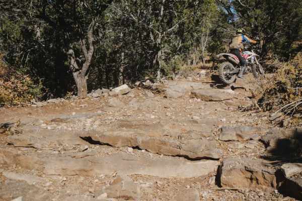
Lone Pine
Lone Pine is a 2-mile trail in the Manzanita Mountain Trail System that starts on the south end as a fast and flowy trail on smooth dirt with no rocks. It's a bit troughed, with banked corners. The beginning is a 2 difficulty. It gets rockier and trickier after the intersection with Pinyon with a fe...
Learn more about Lone Pine
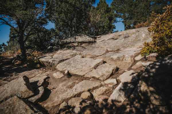
Meadow
Meadow is a short and relatively easy single track in the Manzanita Mountain OHV area. It goes through a mix of meadows and pine and oak woods, with very tight turns and moderate rock ledges. There are a couple of narrow rock pinches as well. The start of the trail is a bit hidden up a dirt road a b...
Learn more about Meadow
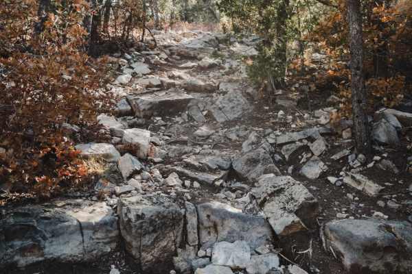
Gear Grinder
Gear Grinder is an intermediate single track in the Cibola National Forest in a high desert terrain. Although less than 2 miles long, this one is harder than some of the other nearby trails because it has very tight turns, slightly bigger obstacles, and some more difficult rocky climbs/descents. It ...
Learn more about Gear Grinder
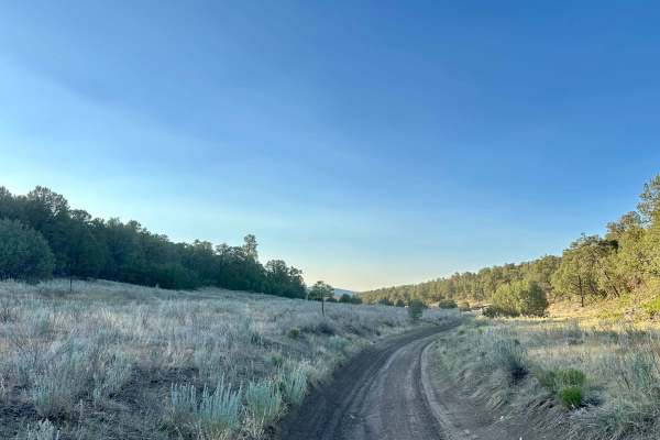
Meadow Ridge Alternate Pass
Meadow Ridge Alternate Pass is a scenic dirt bypass, or an alternate trail, featuring dusty sections, loose rock, and occasional off-camber areas. There may be wildlife sightings, including deer, possibly along the route. This is moderate terrain with a mix of open dirt sections, rocky areas, off-ca...
Learn more about Meadow Ridge Alternate Pass
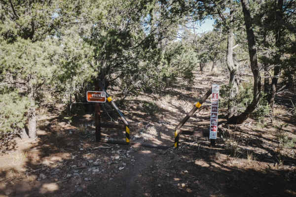
Rattlesnake
Rattlesnake is a short single track in a high desert/low alpine terrain that descends from Forest Service Road 05627 (Meadow Ridge) to the intersection with Mighty Mule. It loses 230 feet of elevation over the 0.9-mile descent. This one has fewer rock obstacles than some of the nearby trails but is ...
Learn more about Rattlesnake
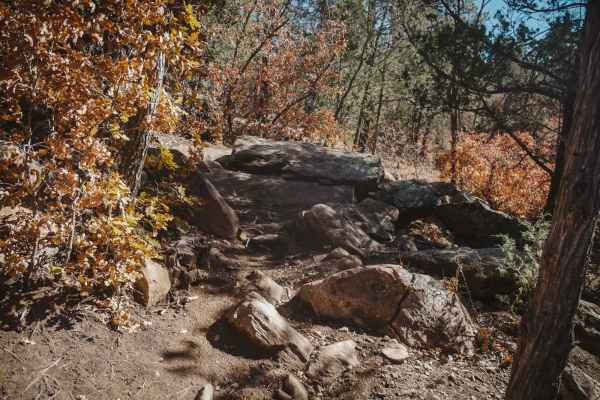
Southern Crossing
Southern Crossing is an intermediate single track that connects the east and west portions of the Manzanita Mountain trail system. The east end starts off super easy before crossing State Highway 337. Be careful crossing the highway because cross traffic does not stop. The trail picks up again direc...
Learn more about Southern Crossing
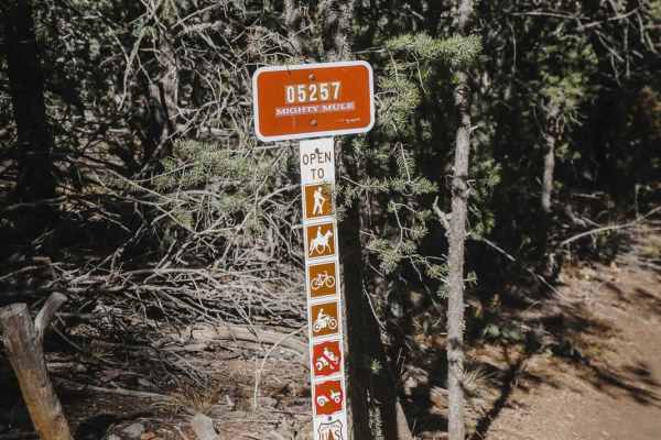
Mighty Mule
Mighty Mule is a 1.3-mile-long single track in the Manzanita Mountain Trail System. It parallels the Meadow Ridge Jeep Trail and is pretty straight, with light curves with banked corners. This one doesn't have many rocks, which is rare for this trail system. It does have several rain ruts, but no bi...
Learn more about Mighty Mule
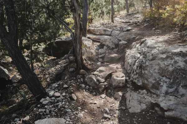
Delberts
Delberts is a challenging single track in the Manzanita Mountain Trail System near Albuquerque, New Mexico that has lots of rock ledges, roots, and shelfy sections of trail. This trail is slightly harder than some of the surrounding trails because it has a bit of exposure as it rides around the rim ...
Learn more about Delberts
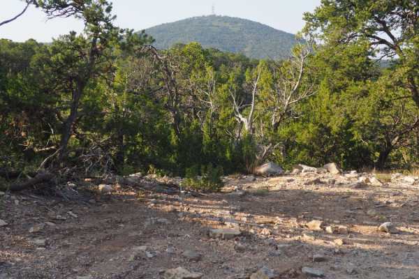
Coyote Mesa Trail
Coyote Mesa Trail is listed on MUVM maps as FR462. Its starts just south of Tijeras in Chamisos Canyon, and crosses the mesa north of Cedro Peak ending near the Zuzax area. This trail offers panoramic views of the Sandias, Monzanos and Cedro Peak with minimal difficulty. At each break in the trees, ...
Learn more about Coyote Mesa Trail
ATV trails near Moriarty, New Mexico
Explore ATV-friendly trails near you. These trails are accessible for vehicles up to 50 inches wide, perfect for ATVs and smaller off-road machines.
Meadow Ridge Alternate Pass
Meadow Ridge Alternate Pass is a scenic dirt bypass, or an alternate trail, featuring dusty sections, loose rock, and occasional off-camber areas. There may be wildlife sightings, including deer, possibly along the route. This is moderate terrain with a mix of open dirt sections, rocky areas, off-ca...
Learn more about Meadow Ridge Alternate Pass
Coyote Mesa Trail
Coyote Mesa Trail is listed on MUVM maps as FR462. Its starts just south of Tijeras in Chamisos Canyon, and crosses the mesa north of Cedro Peak ending near the Zuzax area. This trail offers panoramic views of the Sandias, Monzanos and Cedro Peak with minimal difficulty. At each break in the trees, ...
Learn more about Coyote Mesa Trail
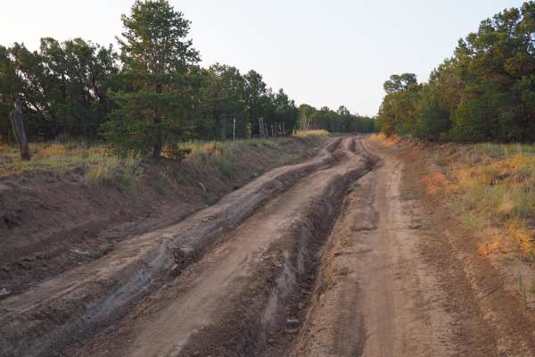
Meadow Ridge Loop
Meadow Ridge Loop is a part of the Cedro peak network of trails in the south half of the Sandia Ranger district. This trail has some areas with significant challenges for stock vehicles, including one major obstacle with no bypass, which can easily damage rocker panels without rock sliders. It also ...
Learn more about Meadow Ridge Loop
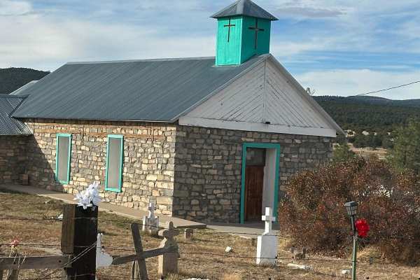
Fourth of July Campground
This route leads to the premier area to see the Big Tooth Maple in the Manzano Mountains. It is the largest stand of maples in New Mexico. The road is easy but narrow in spots. Camping is available from April through November for tents and tent trailers. There is also a parking area for some short h...
Learn more about Fourth of July Campground
UTV/side-by-side trails near Moriarty, New Mexico
Find UTV and side-by-side trails near you. These trails accommodate vehicles up to 60 inches wide, ideal for UTVs, side-by-sides, and wider off-road rigs.
Meadow Ridge Alternate Pass
Meadow Ridge Alternate Pass is a scenic dirt bypass, or an alternate trail, featuring dusty sections, loose rock, and occasional off-camber areas. There may be wildlife sightings, including deer, possibly along the route. This is moderate terrain with a mix of open dirt sections, rocky areas, off-ca...
Learn more about Meadow Ridge Alternate Pass
Coyote Mesa Trail
Coyote Mesa Trail is listed on MUVM maps as FR462. Its starts just south of Tijeras in Chamisos Canyon, and crosses the mesa north of Cedro Peak ending near the Zuzax area. This trail offers panoramic views of the Sandias, Monzanos and Cedro Peak with minimal difficulty. At each break in the trees, ...
Learn more about Coyote Mesa Trail
Meadow Ridge Loop
Meadow Ridge Loop is a part of the Cedro peak network of trails in the south half of the Sandia Ranger district. This trail has some areas with significant challenges for stock vehicles, including one major obstacle with no bypass, which can easily damage rocker panels without rock sliders. It also ...
Learn more about Meadow Ridge Loop
Fourth of July Campground
This route leads to the premier area to see the Big Tooth Maple in the Manzano Mountains. It is the largest stand of maples in New Mexico. The road is easy but narrow in spots. Camping is available from April through November for tents and tent trailers. There is also a parking area for some short h...
Learn more about Fourth of July Campground
The onX Offroad Difference
onX Offroad combines trail photos, descriptions, difficulty ratings, width restrictions, seasonality, and more in a user-friendly interface. Available on all devices, with offline access and full compatibility with CarPlay and Android Auto. Discover what you're missing today!
Open Trail Map