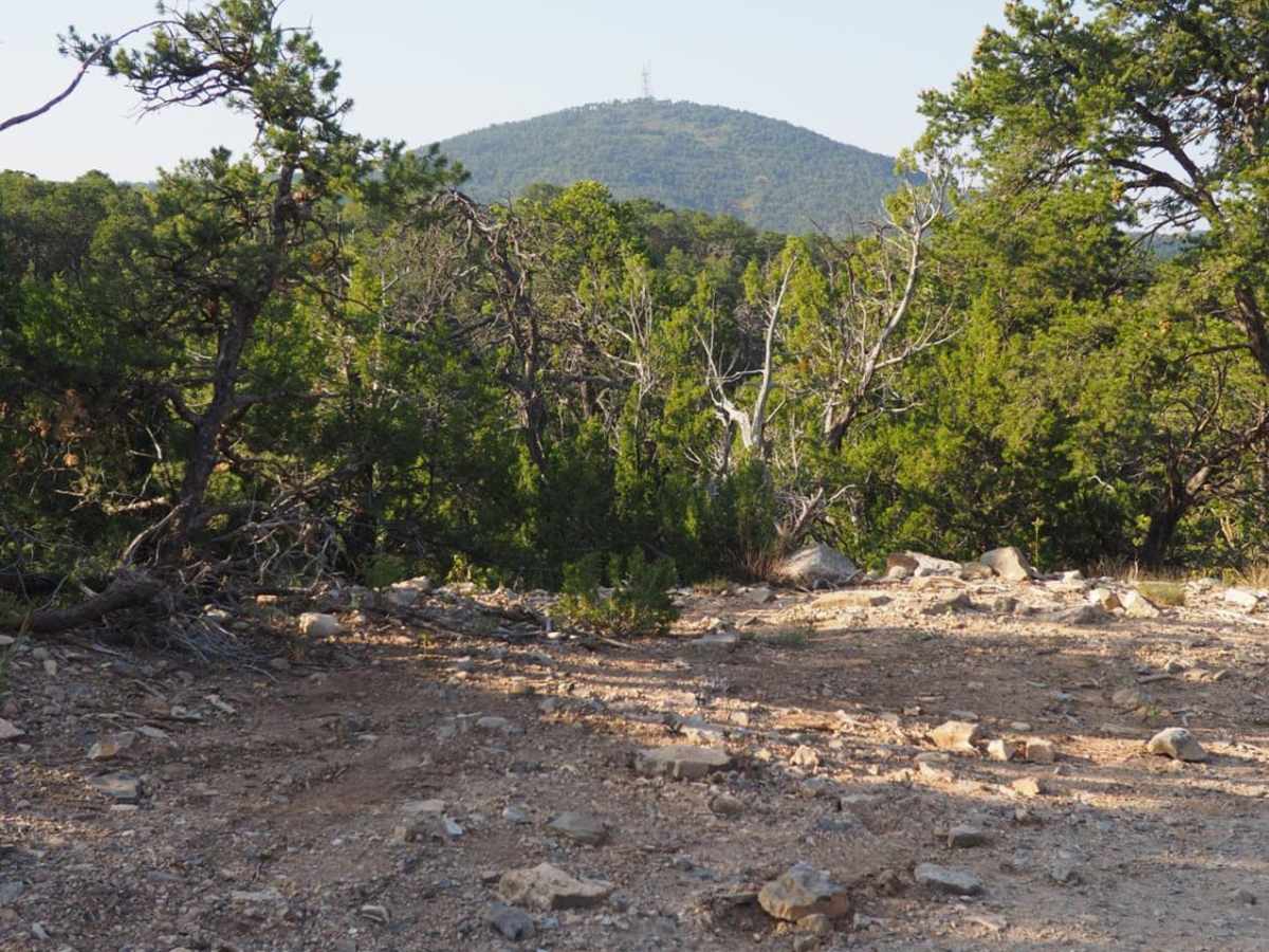
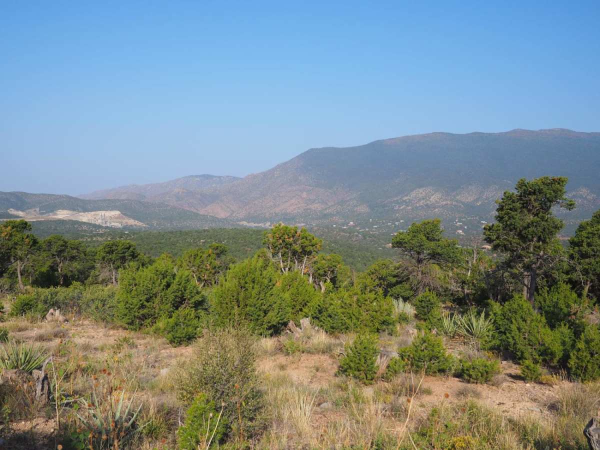
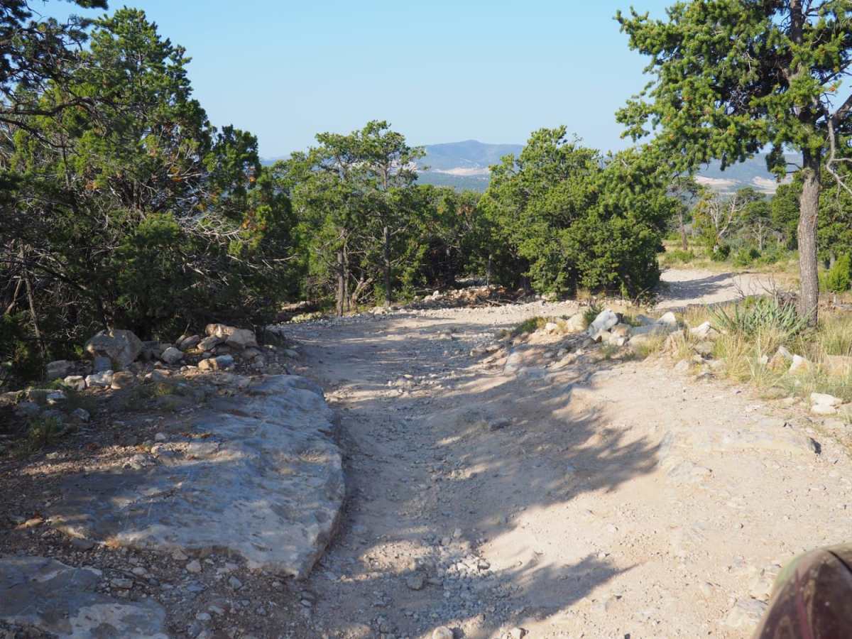
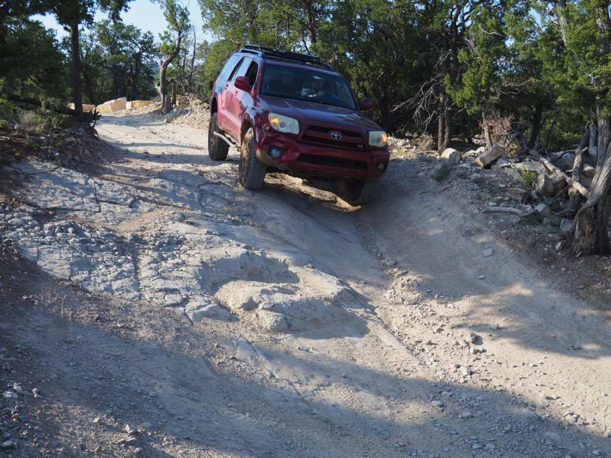
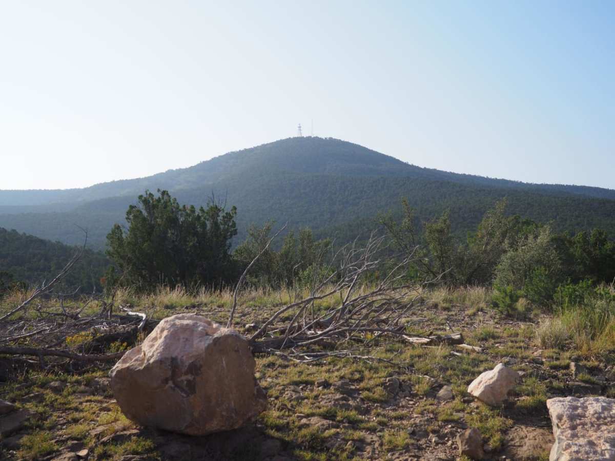
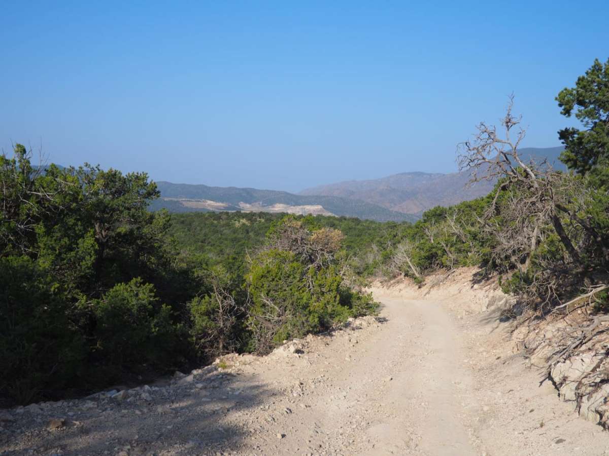
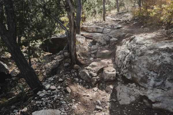
Coyote Mesa Trail

Total Miles 3
Technical Rating
2 Easy
Best Time Spring, Summer, Fall, Winter
Trail Type Full-Width Road
Accessible By
Open Trail Map

Trail Overview

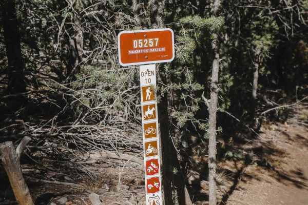
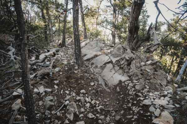
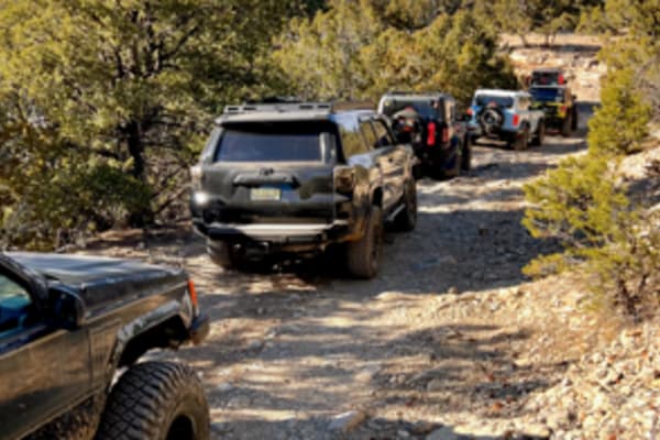
Coyote Mesa Trail is listed on MUVM maps as FR462. Its starts just south of Tijeras in Chamisos Canyon, and crosses the mesa north of Cedro Peak ending near the Zuzax area. This trail offers panoramic views of the Sandias, Monzanos and Cedro Peak with minimal difficulty. At each break in the trees, there are views in every direction. Most of the time the road is very easy, involving a few rocky sections that must be slowed down for, and some easily avoidable ruts. It is easily doable in most crossovers or other SUVs. Due to the combination of rocky surroundings and a dirt road, the trail quickly deteriorates in any kind of moisture. It is easy to get stuck, especially in vehicles without off-road oriented tires. The resulting mud is very slick, and hard to get traction in. The ranger office has also asked drivers in larger vehicles to stay off the road immediately after rain and snow to minimize erosion. On some occasions this is enforced via the gates on either side.

Photos of Coyote Mesa Trail

Difficulty

While there are some ruts, they are easily avoidable. A subaru would have no problems with this trail. It just needs to be heavily caveated with regards to weather. Despite its general ease, you can easily get stuck on this road after a surprise rain storm.

Technical Rating

2

Status Reports

Add Status Report
Hortotown
Jun 14, 2026
Open
Matthew Cox
Feb 15, 2026
Open
Muddy and icy at the beginning of trail, only gets more icy and muddy the further you get in.
luis A
Jan 27, 2026
Open
The trail was very muddy and there were some ice/water puddles along the way that you had to go through which was manageable but I would recommend going with some speed to not get stuck. I only managed to make it about 40% into the trail before I turned around due to a really muddy washout spot that I knew I would get stuck on and didn’t want to risk it. I’m sure once it’s dried it would be doable to get past and finish the trail.
David Williams
Aug 31, 2025
Open
There were a few mud pits that I could ride around but there was a deep mud pits about 1.8 miles in that stopped me.
Nadine Tibbetts
Jun 08, 2025
Open
charlie fiorillo
Mar 27, 2025
Open
saw one dude camping but that was it. i think it was worth it to air down a little because of the rocky stretches, but not essential
Sheldon Johnson
Aug 17, 2024
Open
I went up the west side, that entire half is all rocky. The trail was dry and traversable. I continued along and down 462, that side is all dirt road with dried in ruts, nothing my full size truck couldn't handle. The only other people on the trail were a group of Tacoma's and a bicyclist.
Thomas Lovato
May 27, 2024
Open
Niko Azucenas
May 19, 2024
Open
Always a good relaxing trail! Will encounter sharp(ish) turns, wouldn’t recommend a full size vehicle, although doable. Beautiful mountain scenery!
Patrick Baldwin
Apr 14, 2024
Open
Fun trail. Stock Rubicon handled it no problem. Some areas are heavily rutted and there was a couple of mostly dry mud holes, but I doubt those will last much longer.
Stefan Deal
Apr 12, 2024
Open
Trail was mostly dry with a few small mud holes that you can go around if you want to. Beautiful views of the surrounding mountains. Small rock hills can be a bit challenging in a smaller suv like mine but that made it fun.
Juan Contreras
Feb 25, 2024
Open
The trail was a lot of fun some sections with deep ruts you can still cross as long as you straddle the ridges. Some of the rocky areas are easy to navigate.
Elias Davila
Nov 16, 2023
Open
Rich Ceus
Oct 14, 2023
Open
Anthony Myers
Oct 01, 2023
Open

Coyote Mesa Trail Trail can be accessed by the following ride types:

  • Single Track
  • 50 Inch
  • 60 Inch
  • High Clearance
  • Full Width

Coyote Mesa Trail Map

The onX Offroad Difference

onX Offroad combines trail photos, descriptions, difficulty ratings, width restrictions, seasonality, and more in a user-friendly interface. Available on all devices, with offline access and full compatibility with CarPlay and Android Auto. Discover what you're missing today!

Open Trail Map