
Dirt Bike Trails
Near Moab, Utah
Explore All Dirt Bike Trails Near Moab, Utah
Dirt Bike Trails Near Moab, Utah
Discover the best dirt bike trails near you. Browse trail maps, check difficulty ratings, and find your next adventure — whether you're looking for a quick ride or an all-day expedition.
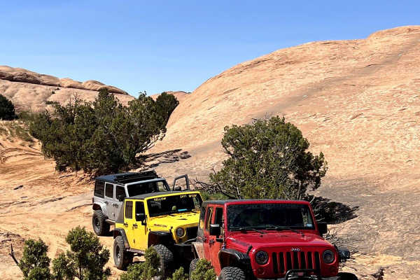
Staircase Bypass and Overlook (Hell's Revenge)
This trail allows for an easy bypass from the tip-over obstacle and the devil's staircase obstacle and returns to the main trail for exit from the Hell's Revenge Trail. This route is easy to negotiate and a quick return to the main trail. There is also a great overlook of the Grandstaff Canyon Syste...
Learn more about Staircase Bypass and Overlook (Hell's Revenge)
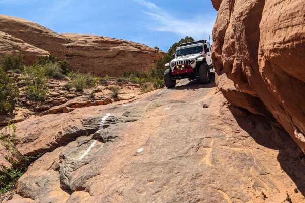
The Devil's Staircase
This is a previously closed portion of the Sand Flats recreation area. It is a connector on the Hell's Revenge trail from Tip-Over Challenge to the main trail towards the entrance/exit. The drop-in requires you to squeeze by a wall on the driver's side that has evidence of rigs getting too close. On...
Learn more about The Devil's Staircase
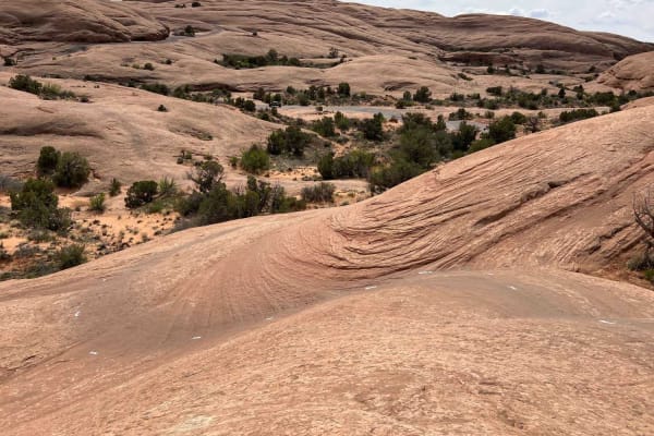
Slickrock 2
Slickrock 2 begins at Hell's Revenge Staircase Bypass & Overlook and continues northeast to the Slickrock Main Loop. This trail covers 0.7 miles across smooth slickrock and is well-marked with white painted lines on the ground. The trail has a few small bumps along the way but generally travels uphi...
Learn more about Slickrock 2
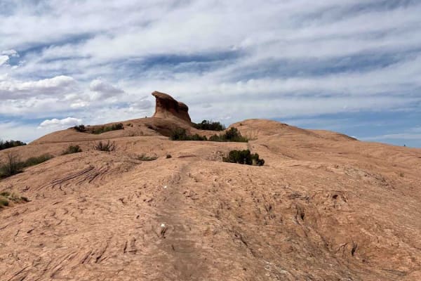
Slickrock Main Loop
The Slickrock Main Loop is the primary circuit in the Slickrock trail system. The loop is 5.2 miles long and runs along smooth slickrock marked by white painted lines. It starts in the southwest corner of the loop where Slickrock 2 ends and travels counter-clockwise. The route crosses the Hell's Rev...
Learn more about Slickrock Main Loop
Sand Flats Road
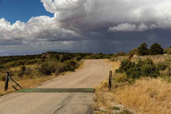
Sand Flats Road is a wide, generally easy route that connects Moab to the Manti-La Sal National Forest. The drive has no major obstacles, though some narrow sections and washboarded stretches keep you attentive. Being close to town, it’s a well-trafficked corridor with trailheads and recreation acce...
Learn more about Sand Flats Road
Slickrock 3
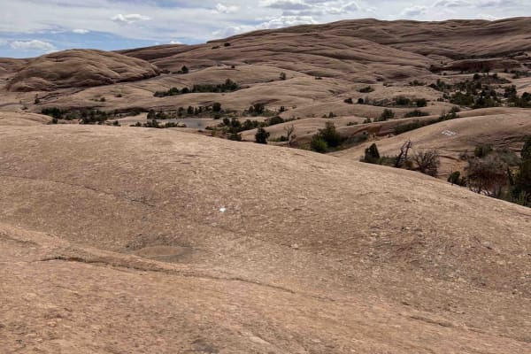
Slickrock 3 branches off of Slickrock 1 after about 0.4 miles and heads north/west to the Slickrock Main Loop. This trail is 2.2 miles long across smooth slickrock. The white paint markings on this route are worn and hard to see--especially in the beginning. Be aware: the markings do not match the O...
Learn more about Slickrock 3
Hell's Revenge
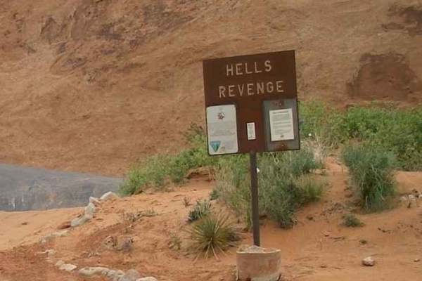
Part of the treasured Sand Flats Recreations Area, Hells Revenge is one of the most popular trails near Moab. Due to hazardous conditions, this trail is recommended for experienced riders only. These challenges, combined with breathtaking scenery, make this a rewarding adventure. Hell's Revenge inte...
Learn more about Hell's Revenge
Slickrock Moab Overlook
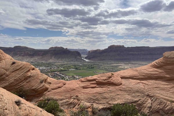
Slickrock Moab Overlook is a short trail that breaks off from the Slickrock Main Loop near the southwest corner of the loop. The trail travels west along a rock ridgeline which is smooth and without obstacles. When you get to the end on your bike, there isn't much of a view. You'll have to dismount ...
Learn more about Slickrock Moab Overlook
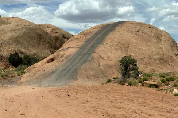
Baby Lions Back
This short trail is a fun obstacle within Sand Flats Recreation Area. If you are skeptical of running Hell's Revenge, you can use this short trail to get a taste of the obstacles on Hell's Revenge. This is a short steep climb up the Lion's Back to traverse across it and then take a quick drop off th...
Learn more about Baby Lions Back
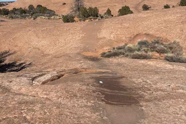
Slickrock Trail Practice Loop
The Slickrock Bike Trail is one of Moab's most famous trails, and rightfully so. This trail offers superior traction for dirt bikes and mountain bikes while offering a rigorous line with steep inclines and declines. This trail provides scenic views of the desert accompanied by the silhouette of the ...
Learn more about Slickrock Trail Practice Loop
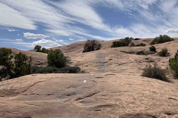
Slickrock 1
Slickrock 1 trail is the only trail branching off from the Slickrock Practice Loop that will take you to the main Slickrock Trail System. Heading west, this 0.7-mile-long track takes you up a decent climb before descending near the midpoint. From here, there are several smaller elevation changes and...
Learn more about Slickrock 1
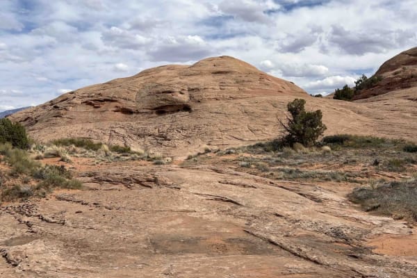
Slickrock 7
Slickrock 7 begins at the intersection of Slickrock 6 and 8 and travels north until hitting the Slickrock Main Loop. This route is about 0.5 miles long over smooth slickrock with minimal markings. The white trail paint has mostly worn away (as of 2024). This trail is mostly flat until about midway, ...
Learn more about Slickrock 7
Slickrock 6
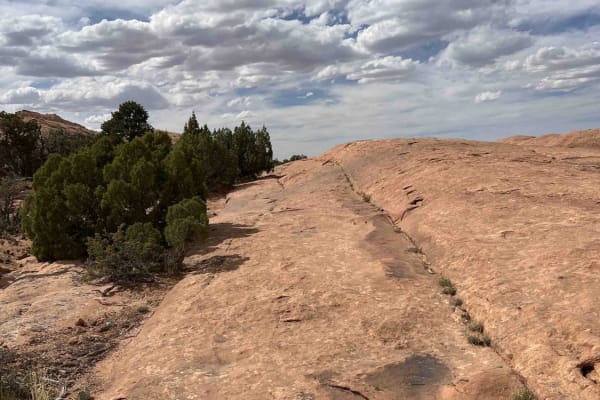
Slickrock 6 is one of the interior trails within the Slickrock Main Loop. This trail starts in the southwest corner of the Main Loop and runs for 0.7 miles before intersecting Slickrock 7 and 8. Starting from the Slickrock Main Loop and riding northeast, it's easy to miss the beginning of this trail...
Learn more about Slickrock 6
Slickrock 4
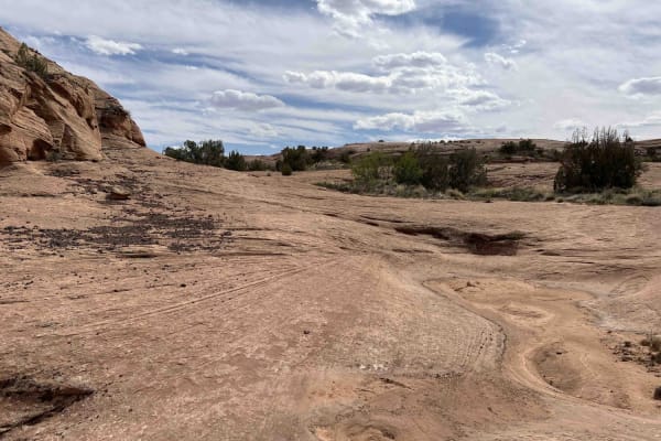
Slickrock 4 starts at the end of Slickrock 3 and branches off in two directions. Both options send you uphill to the Slickrock Main Loop, and each leg is short. The trail is pretty open and winds around a few holes where water accumulates depending on the season. The white paint markings on this rou...
Learn more about Slickrock 4
Rim Rocker
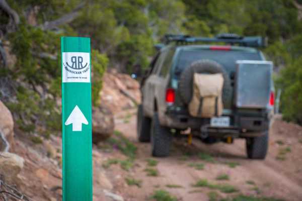
The Rim Rocker is a 160-mile route winding it's way through aspen groves, over red rock, along the edges of sheer cliffs, and across rivers. Spanning from Moab, Utah to Montrose, CO., the track varies from rocky two-track to perfectly graded gravel. Each mile offers something exciting and different,...
Learn more about Rim Rocker
Moab Rim
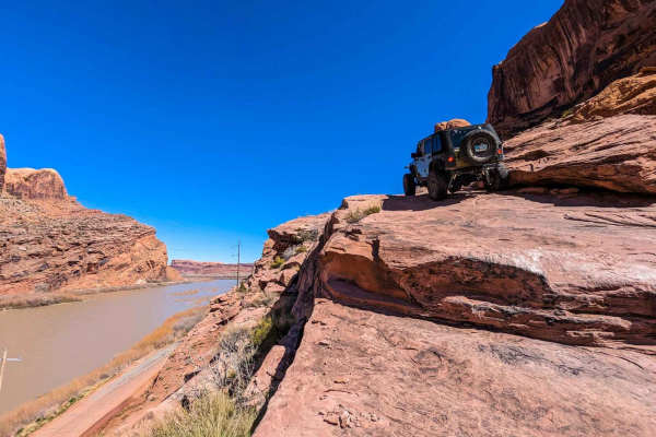
Moab rim starts as a 20% grade for the first mile, with a series of obstacles that would be considered much easier on a flat trail. However, adding the sandstone steps to an already tilted sandstone cliff rim can be intimidating for even experienced wheelers. Once on top of the mesa, there are a cou...
Learn more about Moab Rim
Slickrock 5
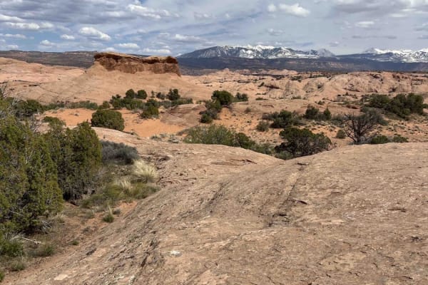
Slickrock 5 is a shortcut trail that bridges across the Slickrock Main Loop at the northernmost part. By riding this trail, you'll skip the section of the Main Loop that runs closest to the Colorado River. Riding west, this trail runs downhill through a small valley. The painted trail makers are ext...
Learn more about Slickrock 5
Golden Spike
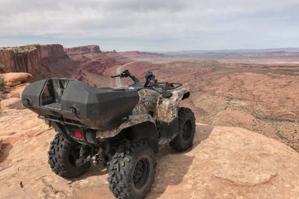
In order to finish this long route, you'll need to drive half of Poison Spider, the entire Gold Bar Rim and part of Gemini Bridges Road. This trail provides a constant stream of obstacles, so it's recommended you travel with more than one vehicle if you want to make it out before dark. RZRs will mak...
Learn more about Golden Spike
Fins n Things (First Half)
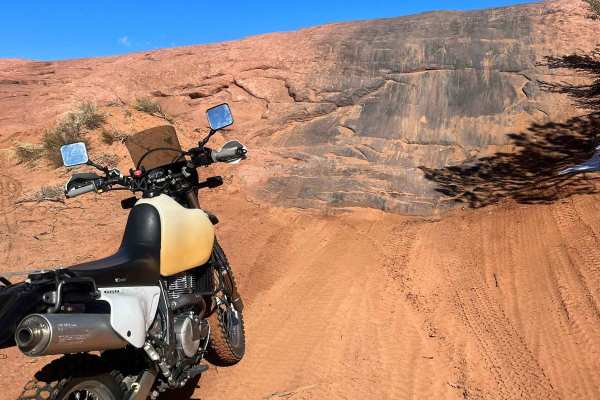
This route has something for everyone. The trail is wide enough for 4x4 vehicles, while still providing enough challenging terrain and technical features to make it fun for dirt bikes. This particular route I have mapped is intermediate and still possible to achieve on light adventure bikes and heav...
Learn more about Fins n Things (First Half)
Fins and Things
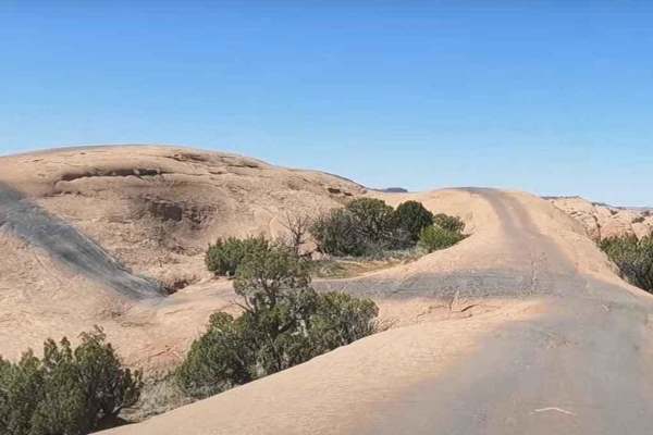
Fins & Things, located in the Sand Flats Recreation Area in Moab, is accessible from the Sand Flats road. A one-day pass for private vehicles is $5, a 7-day pass is $10, and an annual pass is $25. Out of state ATVs or UTVs require a permit. OHV permits are valid for 12 months and cost $30. Passes an...
Learn more about Fins and Things
ATV trails near Moab, Utah
Explore ATV-friendly trails near you. These trails are accessible for vehicles up to 50 inches wide, perfect for ATVs and smaller off-road machines.
Staircase Bypass and Overlook (Hell's Revenge)
This trail allows for an easy bypass from the tip-over obstacle and the devil's staircase obstacle and returns to the main trail for exit from the Hell's Revenge Trail. This route is easy to negotiate and a quick return to the main trail. There is also a great overlook of the Grandstaff Canyon Syste...
Learn more about Staircase Bypass and Overlook (Hell's Revenge)
Sand Flats Road
Sand Flats Road is a wide, generally easy route that connects Moab to the Manti-La Sal National Forest. The drive has no major obstacles, though some narrow sections and washboarded stretches keep you attentive. Being close to town, it’s a well-trafficked corridor with trailheads and recreation acce...
Learn more about Sand Flats Road
Hell's Revenge
Part of the treasured Sand Flats Recreations Area, Hells Revenge is one of the most popular trails near Moab. Due to hazardous conditions, this trail is recommended for experienced riders only. These challenges, combined with breathtaking scenery, make this a rewarding adventure. Hell's Revenge inte...
Learn more about Hell's Revenge
Rim Rocker
The Rim Rocker is a 160-mile route winding it's way through aspen groves, over red rock, along the edges of sheer cliffs, and across rivers. Spanning from Moab, Utah to Montrose, CO., the track varies from rocky two-track to perfectly graded gravel. Each mile offers something exciting and different,...
Learn more about Rim Rocker
UTV/side-by-side trails near Moab, Utah
Find UTV and side-by-side trails near you. These trails accommodate vehicles up to 60 inches wide, ideal for UTVs, side-by-sides, and wider off-road rigs.
Staircase Bypass and Overlook (Hell's Revenge)
This trail allows for an easy bypass from the tip-over obstacle and the devil's staircase obstacle and returns to the main trail for exit from the Hell's Revenge Trail. This route is easy to negotiate and a quick return to the main trail. There is also a great overlook of the Grandstaff Canyon Syste...
Learn more about Staircase Bypass and Overlook (Hell's Revenge)
The Devil's Staircase
This is a previously closed portion of the Sand Flats recreation area. It is a connector on the Hell's Revenge trail from Tip-Over Challenge to the main trail towards the entrance/exit. The drop-in requires you to squeeze by a wall on the driver's side that has evidence of rigs getting too close. On...
Learn more about The Devil's Staircase
Sand Flats Road
Sand Flats Road is a wide, generally easy route that connects Moab to the Manti-La Sal National Forest. The drive has no major obstacles, though some narrow sections and washboarded stretches keep you attentive. Being close to town, it’s a well-trafficked corridor with trailheads and recreation acce...
Learn more about Sand Flats Road
Hell's Revenge
Part of the treasured Sand Flats Recreations Area, Hells Revenge is one of the most popular trails near Moab. Due to hazardous conditions, this trail is recommended for experienced riders only. These challenges, combined with breathtaking scenery, make this a rewarding adventure. Hell's Revenge inte...
Learn more about Hell's Revenge
The onX Offroad Difference
onX Offroad combines trail photos, descriptions, difficulty ratings, width restrictions, seasonality, and more in a user-friendly interface. Available on all devices, with offline access and full compatibility with CarPlay and Android Auto. Discover what you're missing today!
Open Trail Map