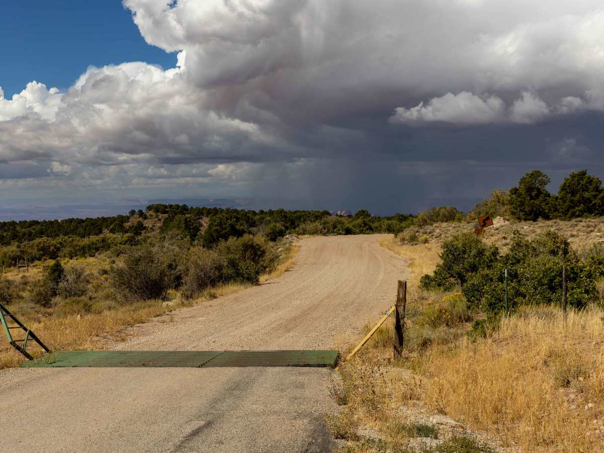
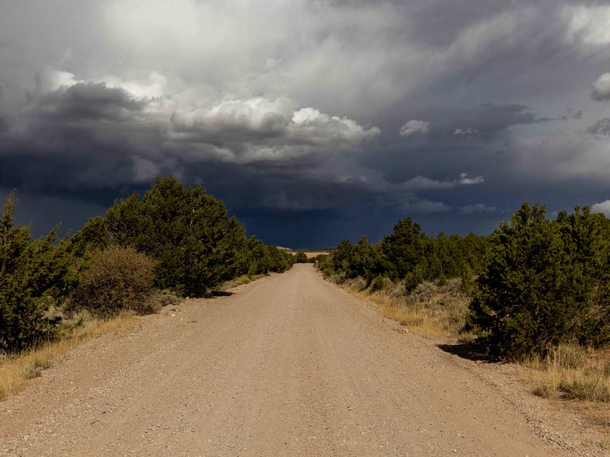
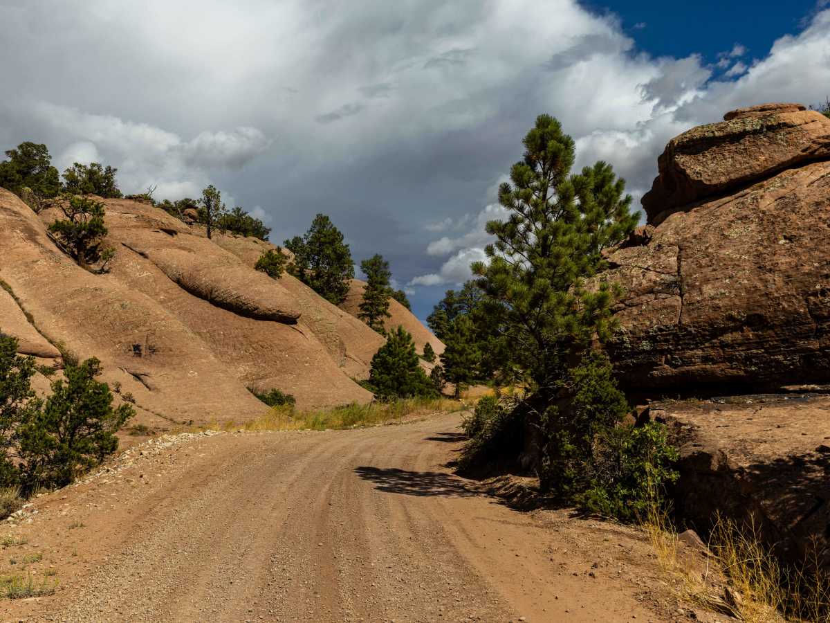
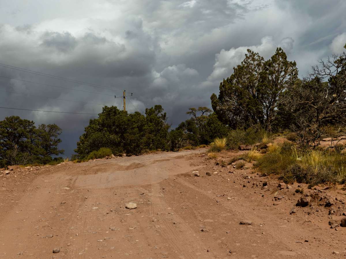
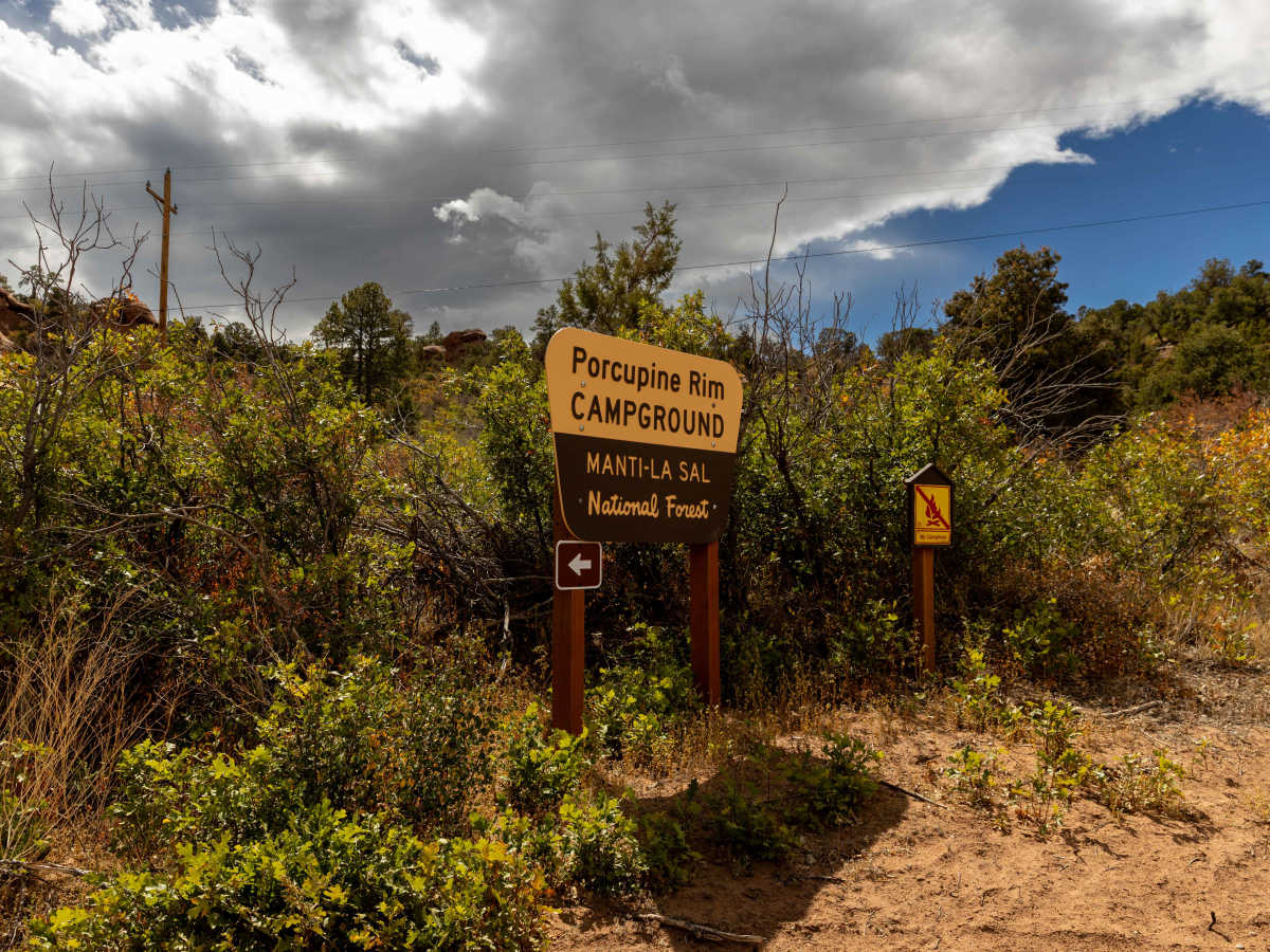
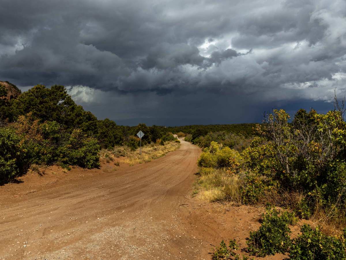
Trail Overview
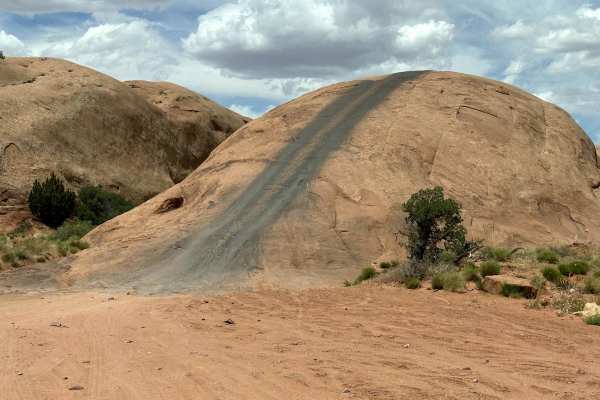
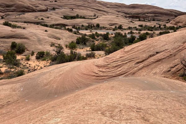
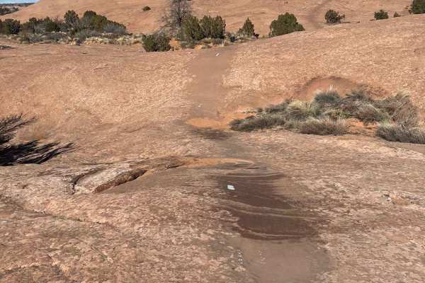
Sand Flats Road is a wide, generally easy route that connects Moab to the Manti-La Sal National Forest. The drive has no major obstacles, though some narrow sections and washboarded stretches keep you attentive. Being close to town, it’s a well-trafficked corridor with trailheads and recreation access points branching off, including popular slickrock routes for mountain biking and off-roading. Cellular service comes and goes along the way. Sand Flats Road runs through the Sand Flats Recreation Area, a region preserved through local community efforts in the 1990s when Moab residents partnered with the Bureau of Land Management to prevent development and conserve the land. The area is world-famous for its slickrock terrain—exposed layers of Entrada Sandstone that formed roughly 180 million years ago during the Jurassic period. The unique rounded domes and smooth rock create both the visual drama of the area and the playground for the trails branching from this road.
Difficulty
This is a relatively easy road with no major obstacles along it. It is a gateway to numerous other attractions, such as hiking, mountain biking, and vistas.
History
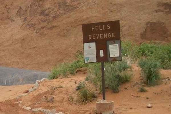
Sand Flats Road is the main access route into Moab's Sand Flats Recreation Area, a public land area managed by the Bureau of Land Management and Grand County, known for its iconic Slickrock Bike Trail and challenging 4x4 trails like Hell's Revenge. While the road itself is an 18-mile unpaved route, its history is intertwined with the area's development as a premier destination for mountain biking and off-roading, which gained significant traction with the first Fat Tire Festival in the mid-1980s