
Dirt Bike Trails
Near Lake Holm, Washington
Explore All Dirt Bike Trails Near Lake Holm, Washington
Dirt Bike Trails Near Lake Holm, Washington
Discover the best dirt bike trails near you. Browse trail maps, check difficulty ratings, and find your next adventure — whether you're looking for a quick ride or an all-day expedition.
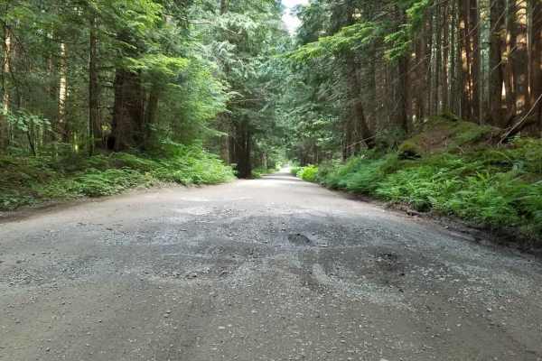
NF 7720000
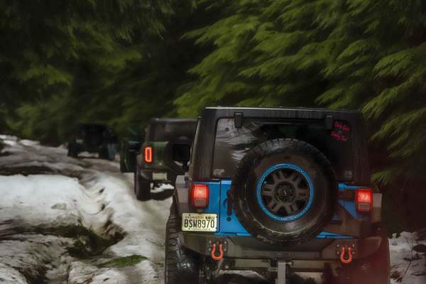
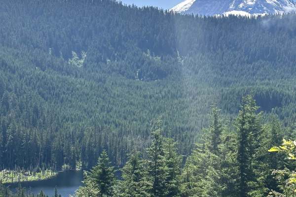
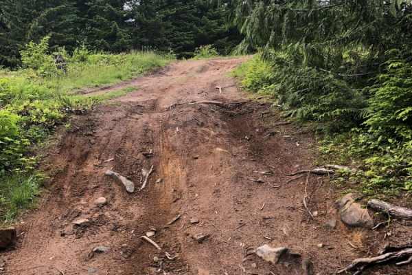
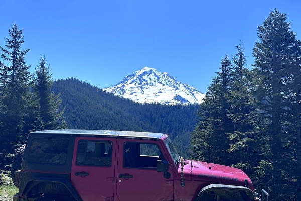
This is a forest road leading from Wilkeson up into the mountains. The trail starts off nice and wide (approx 3 car widths) and continues up varying paths that wiggle down to a single lane. There is a variety of terrain in this section from dirt, gravel, loose rock, and mud. At this point in the sea...
Learn more about NF 7720000
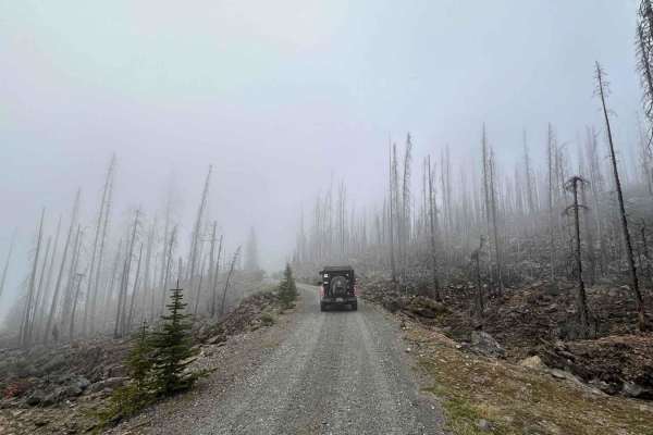
NF 7720000 Spur
This is a well-maintained new branch of 7720000 that was opened in Spring of 2024. Every fork off this road is valid. These forks are much narrower and might require high-clearance 4x4 in some cases. There are a few spots open for day camping, but nothing worth staying overnight.
Learn more about NF 7720000 Spur
Middle Fork
Located deep in the dense woods outside of Wilkeson, Middle Fork is a moderately difficult route ideal for smaller, highly capable off-road vehicles. Unlike busier off-road spots in the area, you will rarely encounter anyone else on this trail, making it a perfect place to test your skills and your ...
Learn more about Middle Fork
Evans Creek Campground/Trailhead
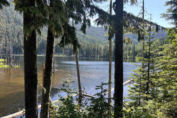
This 8.2-mile point-to-point trail begins as the pavement ends and continues to Evans Creek Campground and Trailhead. This is a well-maintained service road that is 2 vehicles wide. When open, the trail continues to Mowich Lake in Mount Rainier National Park. The campground has multiple primitive ca...
Learn more about Evans Creek Campground/Trailhead
Summit Lake Trailhead
This 26-mile out-and-back trail takes you from the Carbon River Valley up to the Summit Lake Trailhead. There will be a left turn onto an expansive paved bridge that will take you across the Carbon River. This road is known as FS 7810, Summit Lake Trailhead Road, and Cayada Creek. After crossing th...
Learn more about Summit Lake Trailhead
Coplay & East Lake Trail
This 3.2-mile out-and-back trail forks off of the Summit Lake trailhead road and gives access to both Coplay and East Lake. There is a campground with pit toilets at Coplay Lake. A portion of this trail takes you into the surrounding forest with dispersed camping spots. There is a small rock outcrop...
Learn more about Coplay & East Lake Trail
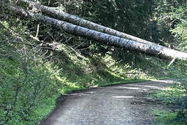
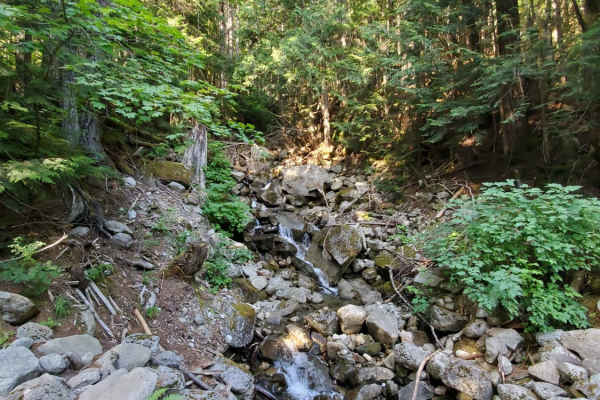
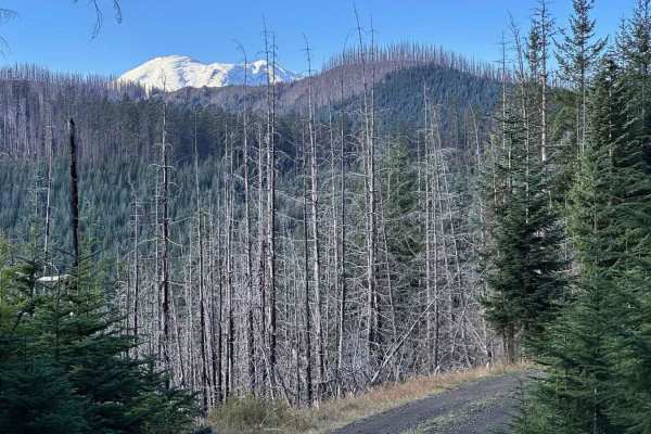
Slippery Creek Road
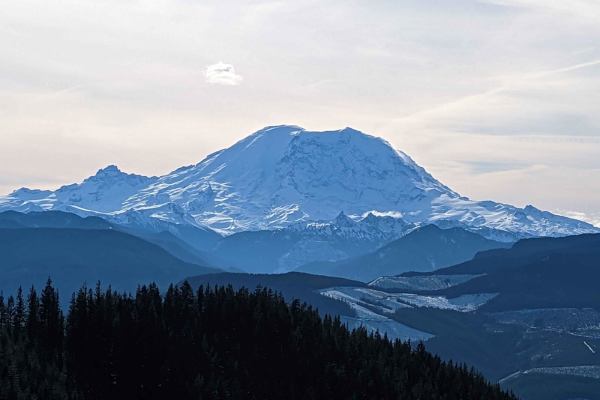
This is a primitive dead-end logging road. There are a few pull-offs for day camping and quite a few spectacular views of Mount Rainier. Where the road dead-ends, it is dug out, so could be accessible by vehicles that have clearance or by ATVs/dirt bikes. The Grass Mountain hiking trail also crosses...
Learn more about Slippery Creek Road
North Fork Road
This road takes you from Columbia Falls to the Canadian Border. This is a fun drive with lots of great stops, and two entrances to Glacier National Park. The most popular stop is Polebridge, MT, where you can try a huckleberry bear claw from the world famous Polebridge Mercantile. You can also enter...
Learn more about North Fork Road
Garcia Road
This road accesses the Palouse to Cascades, or Iron Horse trail, as well as a number of other trailheads and forest service roads. While the main road is relatively tame, there is a small 4x4 area with some fun climbs and obstacles ranging from mild to wild, that are great for beginners to test out ...
Learn more about Garcia Road
Poch Peak Trail
This 4.2-mile point-to-point trail starts at the Evans Creek Trailhead and goes up the west side of the ORV area. This trail is an easy drive with only shallow mud holes along the way. There is one washout that has short steep grades on each side. Several different trails are accessible from this tr...
Learn more about Poch Peak Trail
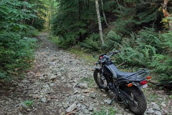
Mine Creek Rd
Take some time to get away from the city and escape to the hills with this quick, rocky run. Stop for a picnic at Mine Creek or take a shooting break in one of the large pullouts off the road. This road will be covered in snow during early spring and late fall, but is a great place to explore the wo...
Learn more about Mine Creek Rd
FS311
This 1.9 mile point-to-point trail starts at the front of Evans Creek OHV area and ends at the campground. The entrance of the trail has a large boulder to get around, either left or right. Right side is off-camber, left side is between two boulders but passable by most 4WD vehicles. There are sever...
Learn more about FS311
Poch Ridge Trail
This 3.2-mile point-to-point trail begins at the Evans Creek Trailhead and connects to two more challenging trails. This trail is an easy trail with shallow mud holes and ruts along it. There is one optional obstacle which is a short steep hill climb. There are several great views of Mount Rainier a...
Learn more about Poch Ridge Trail
Mason Lake/Talapus Lake Trailhead
Easy trails right off Interstate 90! These trails cut through thick, beautiful forests and end at epic trailheads that take you into the SW corner of the Alpine Lake Wilderness Area. The trail is potholed and rough in some areas, but overall easily accessible to most all vehicles.
Learn more about Mason Lake/Talapus Lake Trailhead
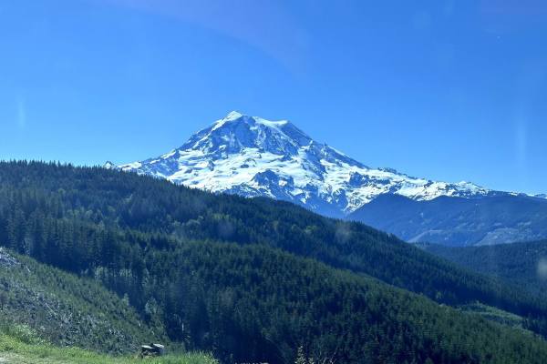
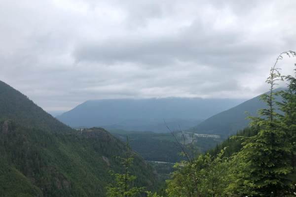
Twenty-Eight Mile Creek
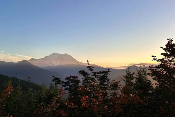
This is a nicely forested road with pullouts that have views of Mount Rainier. The trail has a steady climb to the summit at 7.7 miles. After the summit at 8.2 miles, there is a large gravel shooting pit on the right-hand side. As you travel down the trail there are plenty of spur trails to explore ...
Learn more about Twenty-Eight Mile Creek
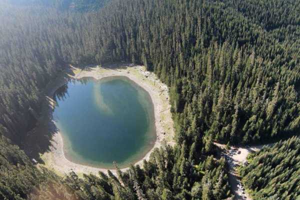
Lonesome Lake FS 75
Start this trail by turning onto Crystal River Ranch Road in Greenwater, Washington. This is an easy-to-travel, gravel logging road that takes you up to Lonesome Lake. The trip is about an hour one way and about 16 miles to reach the lake. You will start on the pavement in a residential area, so mak...
Learn more about Lonesome Lake FS 75
Tinkham Road (NF-55)
This road runs parallel to I-90 and can be entered from the East or West. You can hop back onto the interstate at either end making it a great side detour. While any 2 wheel drive vehicle should make it without issue, be warned that there are a lot of decently sized (both round and deep) pot holes a...
Learn more about Tinkham Road (NF-55)
Echo Lake Road - NF 7220
Echo Lake Road is a nicely groomed road and has plenty of space to pass other vehicles, this is a popular road that leads to other offshoots with shooting pits and camp spots. At 4.7 miles there is a large bend in the road to the left, if available hop out and check out George Creek. There is a grea...
Learn more about Echo Lake Road - NF 7220
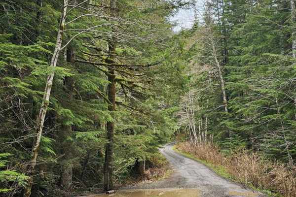
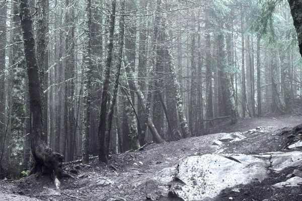
Forest Lake Rd 7222
Forest Lake Rd is a lovely, hard-packed dirt trail with some narrow sections and some exposure, but it can be driven by most vehicles. Be careful, though, as there was a forest fire in this area, and tree fall is expected. The summit of Mt. Rainier does make a brief appearance along this trail, but ...
Learn more about Forest Lake Rd 7222
Middle Fork/Goldmeyer Rd
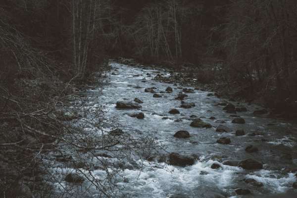
This road follows the Middle Fork of the Snoqualmie River up to the trailhead for Goldmyer hot springs (reservations are required and can be made online), Dingford Creek, and many more. The first half of the trail ranges from one to two car widths while winding through the trees. There are a number ...
Learn more about Middle Fork/Goldmeyer Rd
ATV trails near Lake Holm, Washington
Explore ATV-friendly trails near you. These trails are accessible for vehicles up to 50 inches wide, perfect for ATVs and smaller off-road machines.
NF 7720000
This is a forest road leading from Wilkeson up into the mountains. The trail starts off nice and wide (approx 3 car widths) and continues up varying paths that wiggle down to a single lane. There is a variety of terrain in this section from dirt, gravel, loose rock, and mud. At this point in the sea...
Learn more about NF 7720000
NF 7720000 Spur
This is a well-maintained new branch of 7720000 that was opened in Spring of 2024. Every fork off this road is valid. These forks are much narrower and might require high-clearance 4x4 in some cases. There are a few spots open for day camping, but nothing worth staying overnight.
Learn more about NF 7720000 Spur
Middle Fork
Located deep in the dense woods outside of Wilkeson, Middle Fork is a moderately difficult route ideal for smaller, highly capable off-road vehicles. Unlike busier off-road spots in the area, you will rarely encounter anyone else on this trail, making it a perfect place to test your skills and your ...
Learn more about Middle Fork
Evans Creek Campground/Trailhead
This 8.2-mile point-to-point trail begins as the pavement ends and continues to Evans Creek Campground and Trailhead. This is a well-maintained service road that is 2 vehicles wide. When open, the trail continues to Mowich Lake in Mount Rainier National Park. The campground has multiple primitive ca...
Learn more about Evans Creek Campground/Trailhead
UTV/side-by-side trails near Lake Holm, Washington
Find UTV and side-by-side trails near you. These trails accommodate vehicles up to 60 inches wide, ideal for UTVs, side-by-sides, and wider off-road rigs.
NF 7720000
This is a forest road leading from Wilkeson up into the mountains. The trail starts off nice and wide (approx 3 car widths) and continues up varying paths that wiggle down to a single lane. There is a variety of terrain in this section from dirt, gravel, loose rock, and mud. At this point in the sea...
Learn more about NF 7720000
NF 7720000 Spur
This is a well-maintained new branch of 7720000 that was opened in Spring of 2024. Every fork off this road is valid. These forks are much narrower and might require high-clearance 4x4 in some cases. There are a few spots open for day camping, but nothing worth staying overnight.
Learn more about NF 7720000 Spur
Middle Fork
Located deep in the dense woods outside of Wilkeson, Middle Fork is a moderately difficult route ideal for smaller, highly capable off-road vehicles. Unlike busier off-road spots in the area, you will rarely encounter anyone else on this trail, making it a perfect place to test your skills and your ...
Learn more about Middle Fork
Evans Creek Campground/Trailhead
This 8.2-mile point-to-point trail begins as the pavement ends and continues to Evans Creek Campground and Trailhead. This is a well-maintained service road that is 2 vehicles wide. When open, the trail continues to Mowich Lake in Mount Rainier National Park. The campground has multiple primitive ca...
Learn more about Evans Creek Campground/Trailhead
The onX Offroad Difference
onX Offroad combines trail photos, descriptions, difficulty ratings, width restrictions, seasonality, and more in a user-friendly interface. Available on all devices, with offline access and full compatibility with CarPlay and Android Auto. Discover what you're missing today!
Open Trail Map