Summit Lake Trailhead

Total Miles 6.6
Technical Rating
2 Easy
Best Time Spring, Summer, Fall
Trail Type Full-Width Road
Accessible By
Open Trail Map

Trail Overview

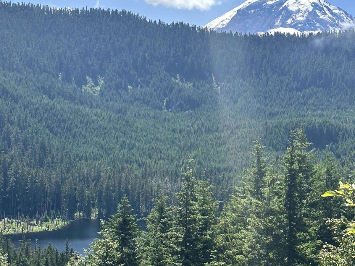
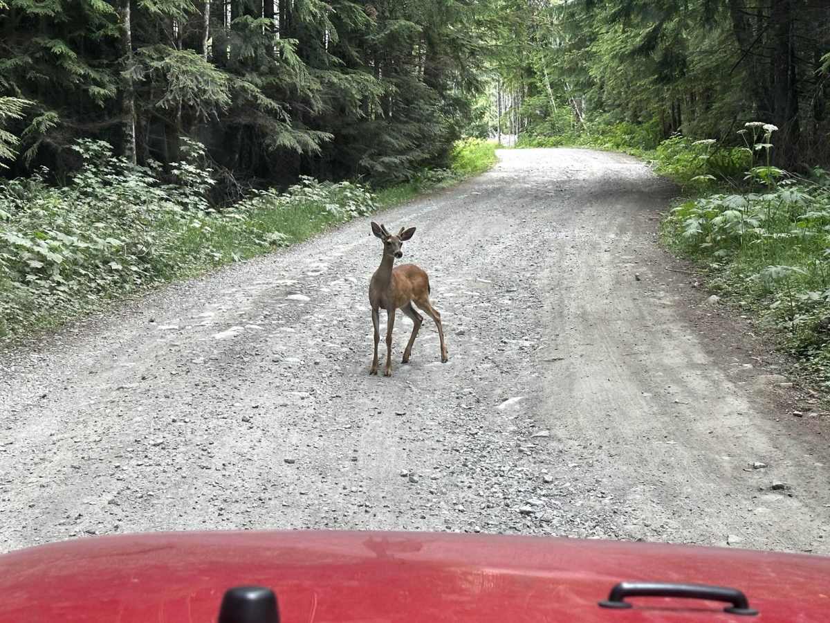
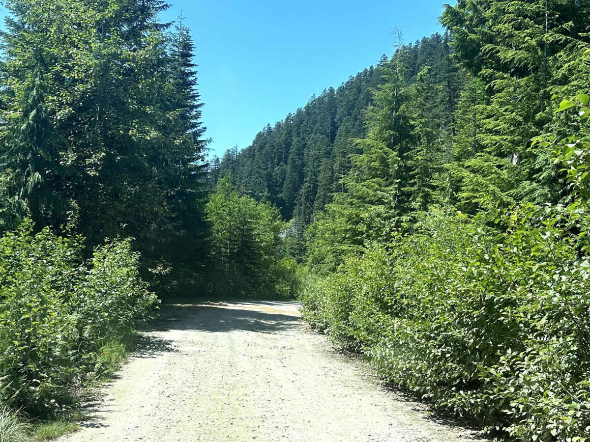
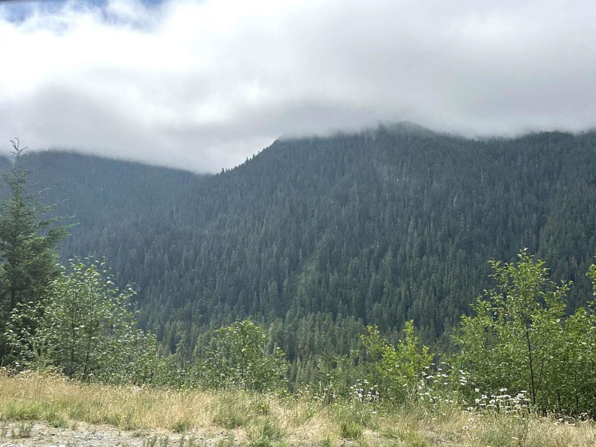
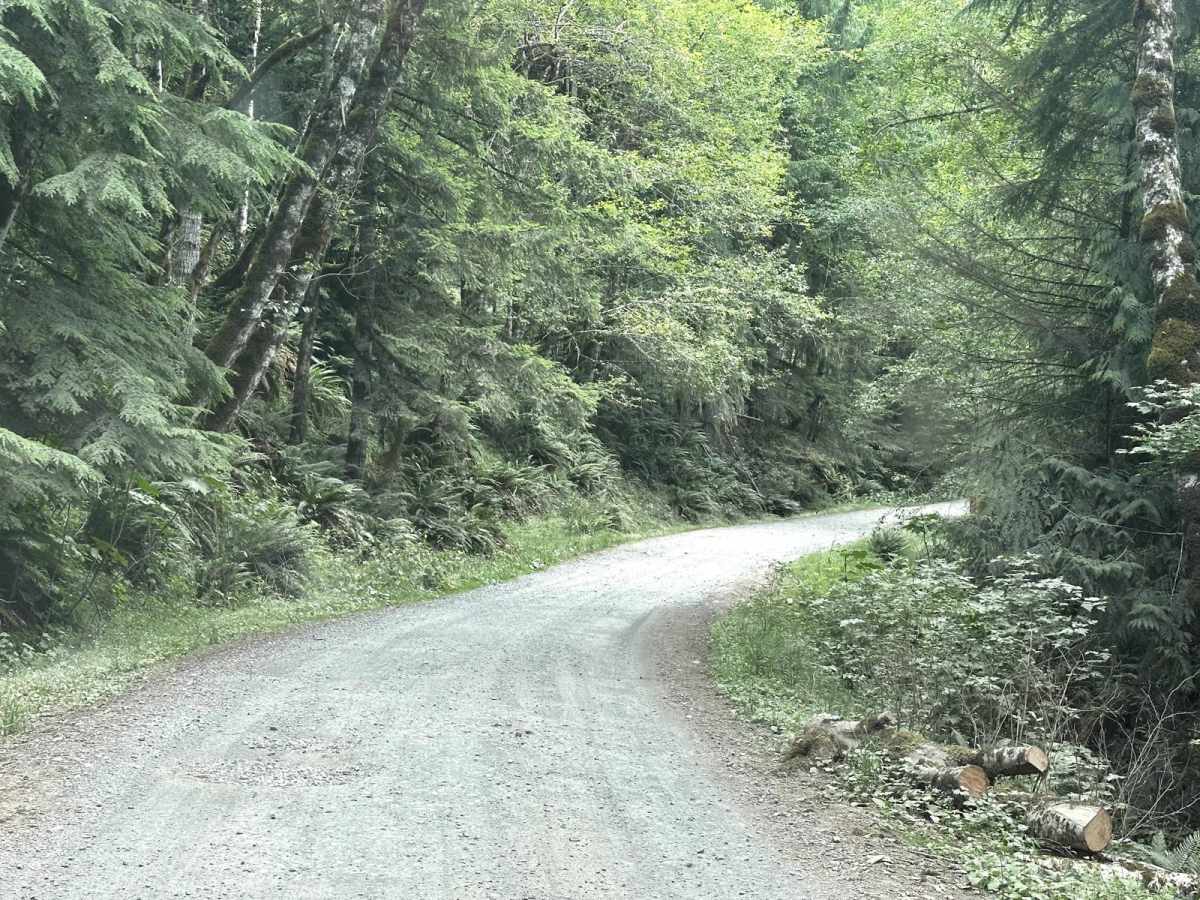
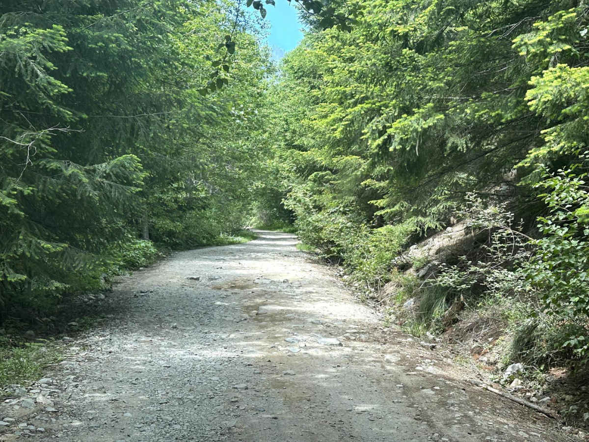
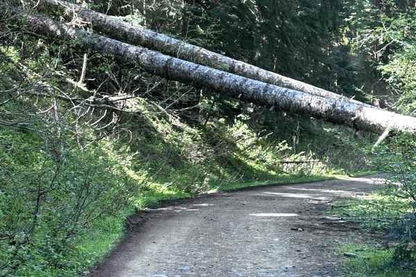
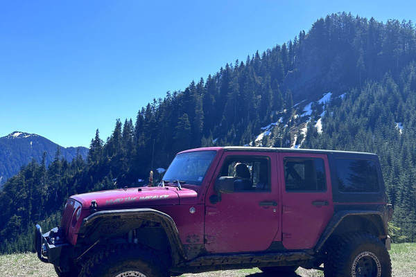
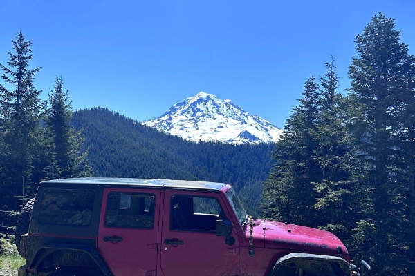
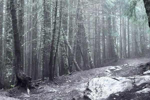
This 26-mile out-and-back trail takes you from the Carbon River Valley up to the Summit Lake Trailhead. There will be a left turn onto an expansive paved bridge that will take you across the Carbon River. This road is known as FS 7810, Summit Lake Trailhead Road, and Cayada Creek. After crossing the bridge, you'll hit the dirt road which is suitable for most vehicles. It is a hard-packed dirt and rock Forest Service road with ample room to get by other vehicles. There are some larger pullouts, shooting pits, and viewing areas of the lower valleys. You'll pass a few waterfalls on your left on the way up as well as a few spur roads that are closed for logging. Continue straight on the main road. At 5.6 miles since turning onto Summit Lake Road, you will come to an intersection. Continue left up FS 7810 to the Summit Lake Trailhead. The road here gets a little more narrow and rocky. It is a heavily driven road with a few ruts and mud puddles. Take your time through this section as the trailhead gets busy and you may need to pull to the side to let other vehicles pass. Enjoy the scenic views of the Carbon River Valley as you climb in elevation towards the trailhead for hiking trails within the Clearwater Wilderness Area.

Photos of Summit Lake Trailhead

Difficulty

This is a single-vehicle road with turn-outs. It has some minimal washboard or ruts due to winter freeze and water run-off. There are a few ruts that are 4-5 inches in depth that could easily be avoided.

Technical Rating

2

Status Reports

Add Status Report
Matthew Champigny
Jan 19, 2025
Open
lots of potholes, a couple of downed trees that were partially cut and parts are still in the road. ice in spots and some vehicles were chained with one vehicle off the road in a ditch.
Josh Hansen
Jul 07, 2024
Open
Road in good condition. Some rocky areas but they are avoidable. Lots of hikers driving to the trailhead at the end.
Ricky s
Jun 08, 2024
Open
Dawnie C
May 04, 2024
Open
trail clear up to just before Coplay lake but able to turn around easily at the lake.
Shane @FirstDueOverland
Apr 21, 2024
Open
Trail was passable up until around 3,800 feet. Tire tracks do suggest that vehicles have made it up at some point however didn’t feel comfortable taking the rig up solo. Snow is hard, compact “Cascade Concrete” and extremely slick in spots
Brian Dallas
Apr 02, 2024
Open
The road is obstructed with ice and snow a few hundred yards before the fork to Coplay Lake. A few cars have slid off the road so be cautious.
Michael Zmuda
Mar 30, 2024
Open
Snow level starts at 3,841ft.
Steven lyons
Feb 17, 2024
Open
Trail was mostly wet and muddy until about the last mile and a half till you hit the lake, then the deep snow came. 4 wheel drive on 35s had no problem.
Blake Secrest
Jan 14, 2024
Open
Starts off mud / gravel and quickly gets into the snow. my jeep and buddy's taco did alright for most of the trail (open diff) but we did have to winch a few times as we climbed. make sure to pack your recovery gear and you'll be alright. very fun trail
Eugene Ross
Jan 13, 2024
Open
This trail is normally just a gravel road with a ton of pot holes. In the winter, really deep snow starts about half way up the trail. My group had multiple vehicles get stuck. We decided to turn around after getting stuck multiple times. I would recommend going with other people or at least have a winch to self recover. Vehicles in our group, and ones that past us with 35in+ tires had no issues, just avoid the really deep snow on the sides in the winter time!
Felix Oliva
Jan 05, 2024
Open
Went up this trail but turned back around 3.5 miles in due to a thick ice layer at a slant which caused a few rigs to also turn back since they were sliding off the trail.
Matt S
Dec 20, 2023
Open

Summit Lake Trailhead Trail can be accessed by the following ride types:

  • Single Track
  • 50 Inch
  • 60 Inch
  • High Clearance
  • Full Width

Summit Lake Trailhead Map

The onX Offroad Difference

onX Offroad combines trail photos, descriptions, difficulty ratings, width restrictions, seasonality, and more in a user-friendly interface. Available on all devices, with offline access and full compatibility with CarPlay and Android Auto. Discover what you're missing today!

Open Trail Map