Mine Creek Rd

Total Miles3.1
Technical Rating
3Easy
Best TimeSummer
Trail TypeFull-Width Road
Accessible By
Open Trail Map

Trail Overview

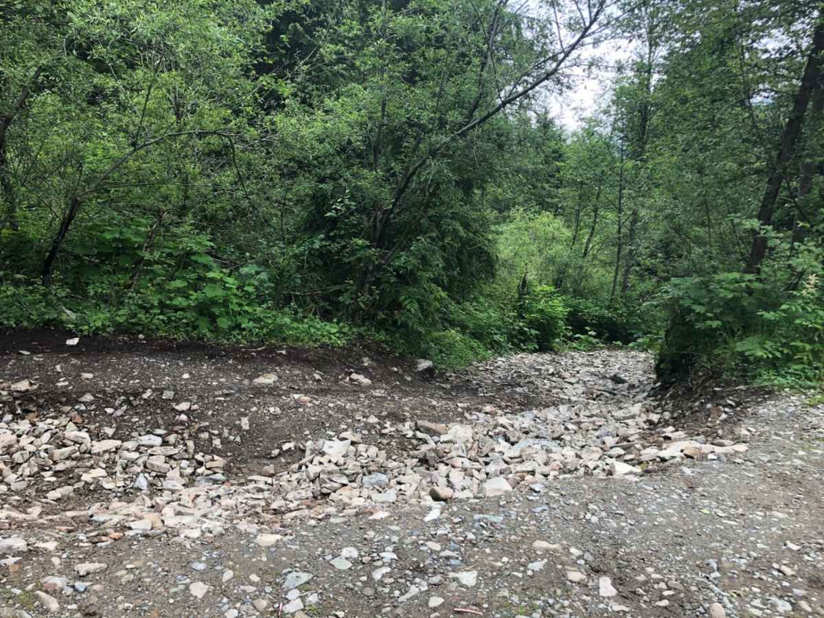
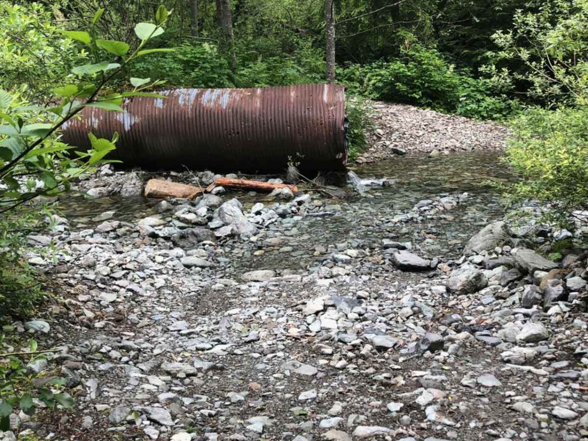
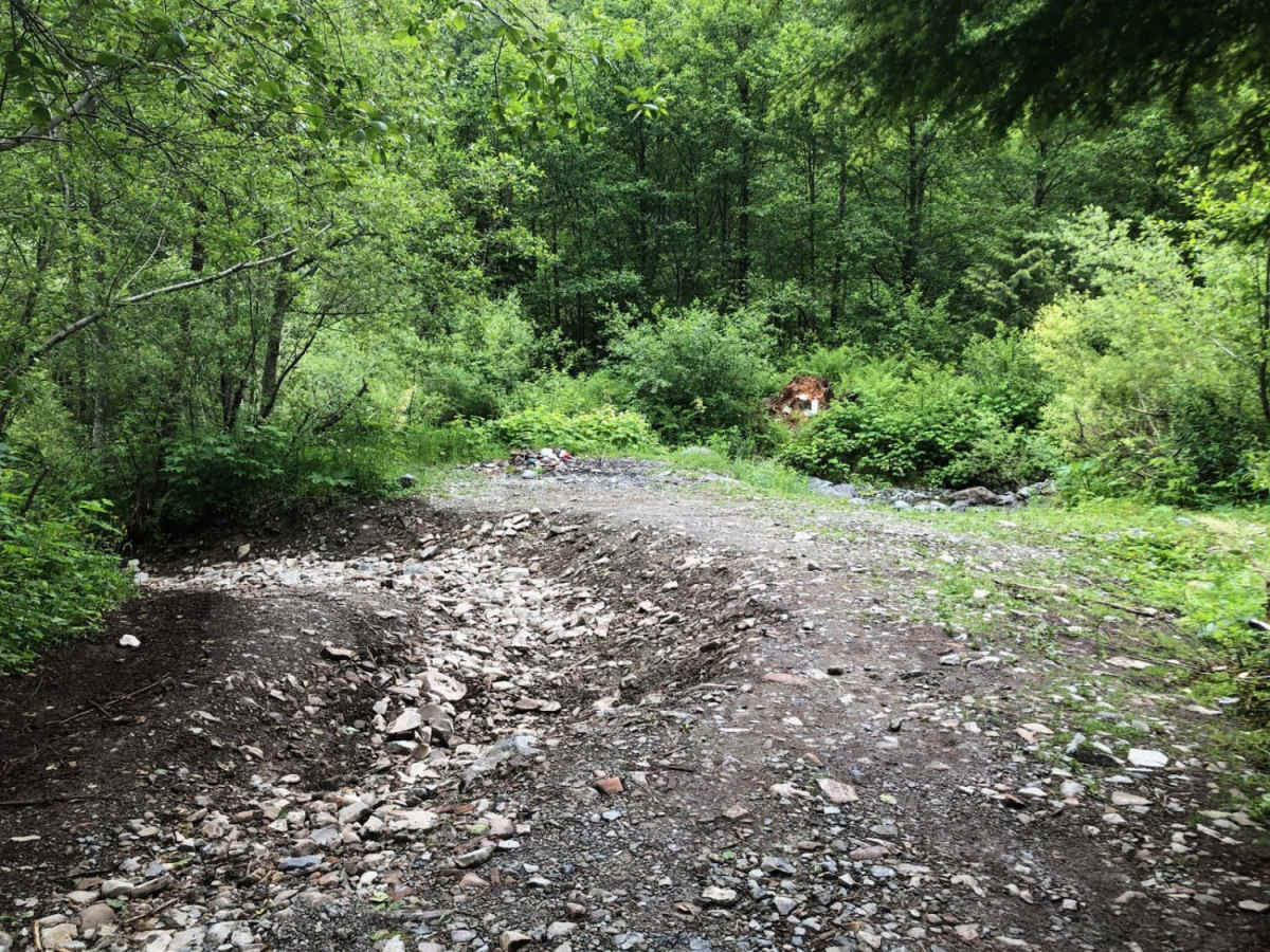
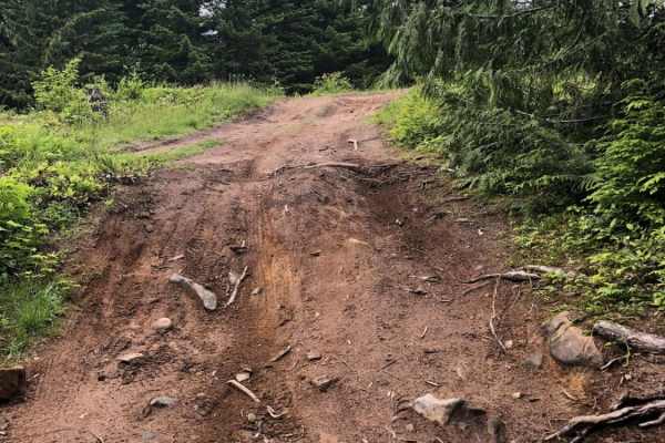
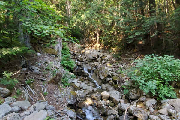
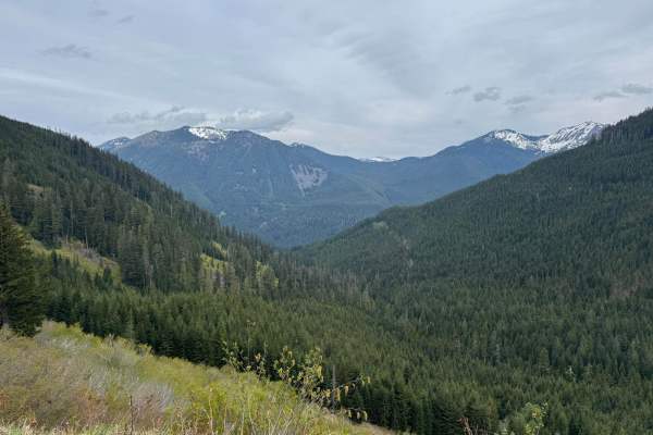
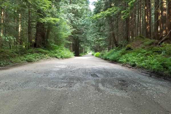
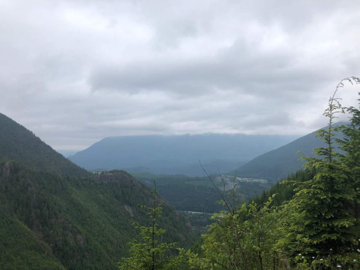
Mine Creek Rd is a quick, rocky forest route in the Mt. Baker-Snoqualmie National Forest perfect for high-clearance four-wheel-drive vehicles and SxSs looking to escape the city. Spanning approximately 3.1 miles with a climb of over 1,000 feet, this trail rises to a maximum elevation of 2,819 feet, offering occasional scenic views through the dense timber. Navigating the route requires a vehicle capable of tackling obstacles like rocks and ledges up to 12 inches, which can generally be bypassed or rolled over with careful tire placement. The route begins near Interstate 90 and Garcia, winding its way past Mine Creek, where travelers can find large pullouts ideal for a picnic, a bonfire, or target shooting. The journey becomes more demanding after crossing Mine Creek, where drivers must negotiate a sharp turn heavily eroded with large, loose rocks that stands as the trail's most difficult technical challenge. Further along, a landslide blocks the path for full-size vehicles due to heavy overgrowth, meaning only smaller rigs or SxSs will be able to squeeze through. Because of its elevation and location in the Pacific Northwest, the road is typically blocked by snow during the late fall and early spring, making summer the prime season for exploration. This trail offers a quick mountain getaway with just enough technical interest to keep high-clearance drivers engaged.

Photos of Mine Creek Rd

Difficulty

The overall trail is easy enough for a high clearance vehicle. Rocks and ledges up to 12" can be avoided or rolled over at an angle.

Technical Rating

3

Status Reports

Add Status Report
Nabeel Bashir
Sep 13, 2026
2011 Lexus 2011
Open
Muddy/Wet
Trail was over all good. A bit challenging for a beginner like me. Views were amazing and soothing.
Saksham Bhandari
May 25, 2026
2000 Toyota Hilux Surf
Open
NormalDusty
Wesley Lueders
Apr 25, 2026
2020 Land Rover Discovery
Open
Muddy/Wet
H J
Nov 22, 2025
2009 Nissan Xterra
Open
Normal
Scenic trail, didn’t have time to go the full route, turned around near the creek. Not overly technical but it is bumpy and slow moving. There’s a shelf road early in the trail and the trail is fairly narrow but a few turn around spots
Matthew Marzynski
Aug 31, 2025
Open
Normal
Aleksandra Caldwell
Aug 28, 2025
2019 Toyota Tacoma
Open
Normal
Lovely drive! Trail is Overall in good shape there are some tree limbs over parts of the trail that I had to move before I could drive through as well some large loose rocks. It was also pretty narrow at some points so I had to fold in my mirrors.
Pete G
Jun 28, 2025
Open
Tight trail and not many places to turn around. Pretty easy in my jeep. I didn’t have to use 4 wheel drive at all. Fun spot and didn’t see anyone else.
Miles Ramen
Apr 22, 2025
Open
Muddy/Wet
Cedric Carr
Mar 30, 2025
Open
Rough/Deteriorated
Tyler Wilcox
Mar 27, 2025
2006 Lexus LX
Open
NormalSnow/IceRough/Deteriorated
Easier than I remember it lol, very very wet with about 3-5” of water at the creek. But it was easy to cross. little baby snow drifts that are very slick, awd or 4wd recommended with good flex. Sharp rocks aswell so decent tires are also recommended.
Dylan T
Jan 05, 2025
Open
Muddy/WetSnow/Ice
John Meikle
Dec 26, 2024
1997 Toyota Land Cruiser
Open
Muddy/WetSnow/Ice
The snow was about 4-6” deep and slushy after the entrance obstacle. It was slightly slick and we turned around by the big boulder just to be safe as we were alone. Trail was wide enough to avoid pin striping. Single vehicle width with several turnaround spots. Could get dicey with more snow but is relatively mild.
Tyler Wilcox
Dec 23, 2024
2006 Lexus LX
Open
NormalMuddy/Wet
I didn’t take this trail. But the tree blocking the road to get to it has since been cleared just wanted to update the trail.
Tyler Wilcox
Oct 29, 2024
2006 Lexus LX
Obstructed
Downed Tree
Can’t even make it to the start of the trail.
Tyler Wilcox
Sep 29, 2024
2006 Lexus LX
Open
NormalRough/Deteriorated
This trail is every bit of a level 3 compared to t57. The first little 3 foot hump isn’t to bad. But take it slow and you should be fine. honestly impressed by the dude with the Hyundai!!! Huge probability for pin striping extremely tight trail. basically no places to pass. Rocky the entire way. With steep and off cantered sections with loose sharp rocks. I Probly won’t go on this trail again Becuase cus it’s pretty sketchy in some spots. I didn’t air down and i didn’t have any trouble making it with my Land cruiser. I didn’t do the wholes trail (pic of the map is were I stopped) turned around at a fork in the road Becuase i wanted to hit middle fork on the way home.

Mine Creek Rd Trail can be accessed by the following ride types:

  • Single Track
  • 50 Inch
  • 60 Inch
  • High Clearance
  • Full Width

Mine Creek Rd Map

The onX Offroad Difference

onX Offroad combines trail photos, descriptions, difficulty ratings, width restrictions, seasonality, and more in a user-friendly interface. Available on all devices, with offline access and full compatibility with CarPlay and Android Auto. Discover what you're missing today!

Open Trail Map