Xelaxander Skyrien
Oct 29, 2025
2022 Jeep Wrangler
Open
NormalMuddy/Wet
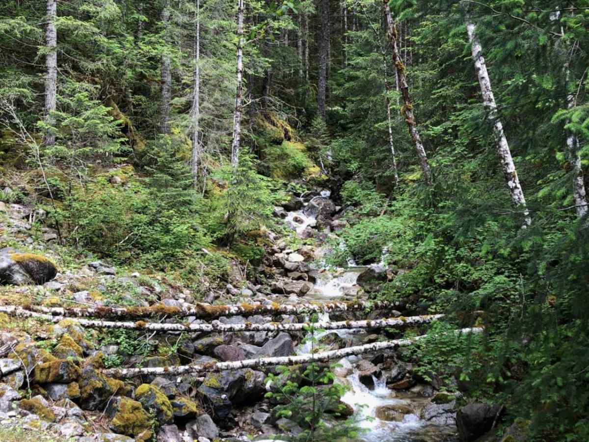
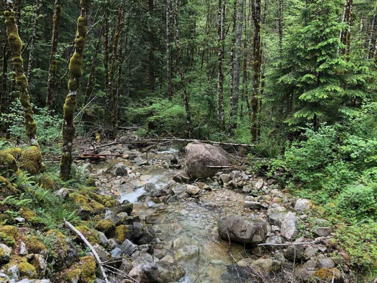
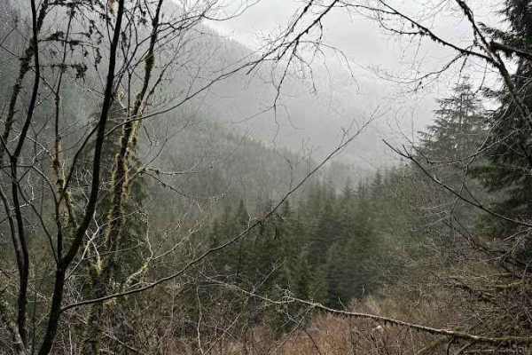
Trail in fine condition, though very wet after recent rainfall. Some loose rocks and broken branches on trail, but still ~2
John A
Apr 27, 2025
2023 KTM 890 Adventure R
Open
Normal
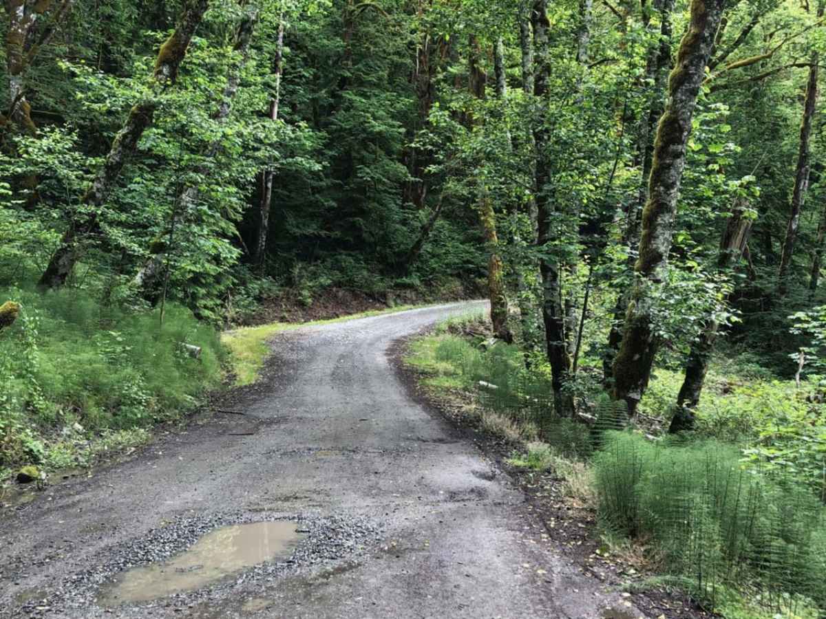
Road clear all the way to the end. Some potholes, but no mud
Aman Gandhi
Mar 22, 2025
2010 GMC Canyon
Open
Muddy/WetRough/Deteriorated
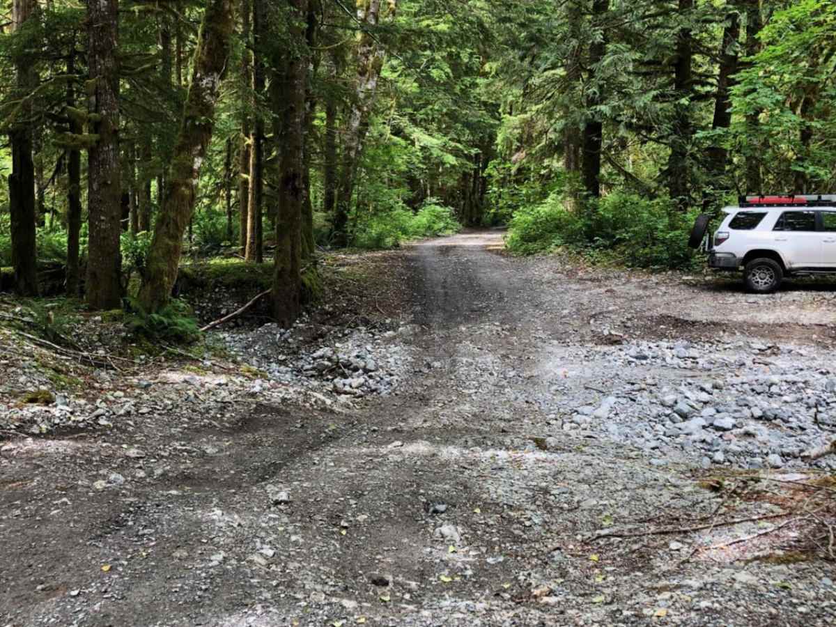
Not very difficult, just slow going. I wouldn't take a low clearance sedan up this road.
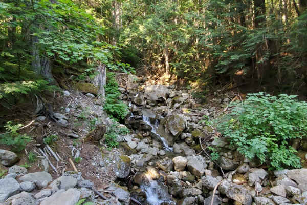
There are a lot of deep potholes filled with rainwater. Some of them span the entire width of the trail and go on for a couple hundred feet.
Basalt Overland
Feb 09, 2025
1990 Isuzu Trooper
Open
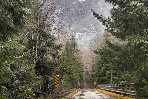
Good traction with 4x4. Compact snow and ice mostly with some sections broken through to the base rock and gravel. Fairly rough about eight other vehicles at the parking at the end of the road.
Race Swisher
Jan 12, 2025
2010 Toyota Tacoma
Open
Muddy/WetRough/Deteriorated
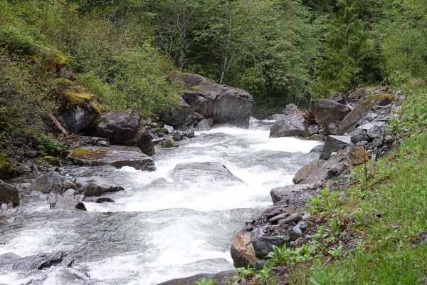
A couple sections where shallow water runoff was channeling down the road for 500+ feet. Not hazardous but not good for long term trail condition. A couple steeper sections with some slick muddy spots. A couple water crossings were as deep as 12-14"
Alby M
Jan 04, 2025
2024 Jeep Wrangler
Open
Dan Putnam
Dec 07, 2024
Open
Muddy/Wet
No down trees to clear and no washouts. Plenty of puddles, but easily accessible by anyone. 4wd not required at the time of writing this.
Tyler Wilcox
Oct 22, 2024
2006 Lexus LX
Open
Muddy/WetRough/Deteriorated
Same as the previous 2 times just massive puddles anywhere from 1-4”+ deep nothing to deep for me but I wouldn’t push it with anything with low ground clearance. Again didn’t take too many pics while I was out.
Tyler Wilcox
Oct 15, 2024
2006 Lexus LX
Open
NormalMuddy/WetRough/Deteriorated
Same as last time was raining pretty good at this point. So I got in got out pretty quick. Every pothole had standing water in it.
Tyler Wilcox
Sep 29, 2024
2006 Lexus LX
Open
Muddy/Wet
Nice easy trail. I probly passed like 30 cars going through it. Was muddy since it rained the night before. But would definitely recommend. there was everything from Honda elements to f350s.
Adan Carrillo
Aug 19, 2024
2004 Toyota 4Runner
Open
Normal
Good clean trail. No need for 4x4 in my 4Runner cars with smaller tires would probably want awd or 4x4. Beautiful drive through the forest with 7-8 camp spots near the river. Saw plenty of Subarus and even a Tesla going up the trail.
Van Luna
Jul 04, 2024
2022 Ford Transit
Open
Normal
Trail was clear the entire way up, a bit of mud here and there, but nothing tricky.
s t
Apr 20, 2024
Open
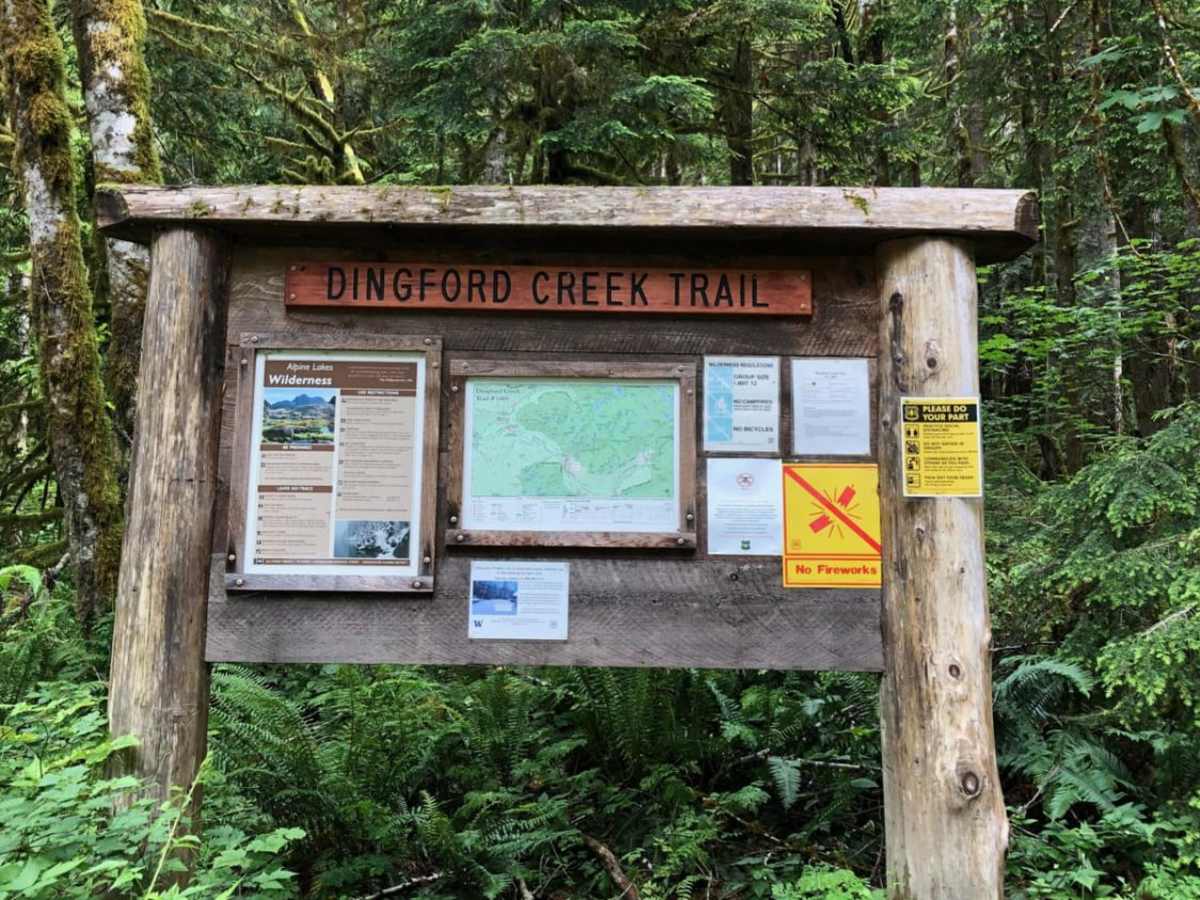
Gravel road with some pot holes. Beginner friendly. Any cars can do the trail, with a little bit of care. The road is closed at Dutch Miller gap trail head. Good camp spots along the trail. There are some washout sections "side of the trail" to have fun around, which could demand 4x4 based on how much you want to push. But over all a fun relaxing adhoc trail to choose, if you live in greater Seattle area.
Alan Spring
Feb 25, 2024
2022 Jeep Wrangler
Open
Muddy/WetNormal
Wet and rainy, so there were lots of puddles and some small water flows across the track. Saw 2 other vehicles on the track, but 3 or 4 vehicles parked at the Goldmyer Hot Springs trailhead at the end of the track. Also saw an unconcerned wildlife denizen about 10 meters off the track at one point.
Santi Guese
Feb 24, 2024
Open
Muddy/Wet