
Dirt Bike Trails
Near La Luz, New Mexico
Explore All Dirt Bike Trails Near La Luz, New Mexico
Dirt Bike Trails Near La Luz, New Mexico
Discover the best dirt bike trails near you. Browse trail maps, check difficulty ratings, and find your next adventure — whether you're looking for a quick ride or an all-day expedition.
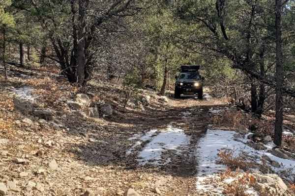
Laborcita Canyon
Laborcita Canyon Road is located in Lincoln National Forest, just Northeast of La Luz, NM. This trail runs North-South through the National Forest. The trail starts on pavement then turns to dirt about a mile in. Cottonwood Flat trail intersects with Laborcita Canyon at about 3.7 miles. Laborcita Ca...
Learn more about Laborcita Canyon
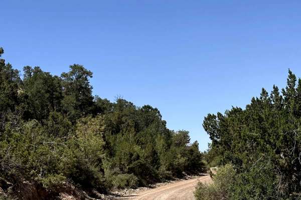
La Luz South
La Luz is a scenic Forest Service road that begins in the community of High Rolls, New Mexico, before climbing into the Lincoln National Forest. The route starts in a high desert landscape with sweeping views of the surrounding basin before gradually transitioning into dense pine forest as it gains ...
Learn more about La Luz South
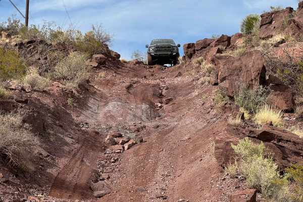
Helms Trail
This is a more technical trail that connects Tularosa Canyon and Coyote Canyon. This high desert route carves through riverbeds and up steep hills with loose rocks, making it an excellent tour of New Mexico terrain. Some sections are narrow due to washout and the specific route of travel may change ...
Learn more about Helms Trail
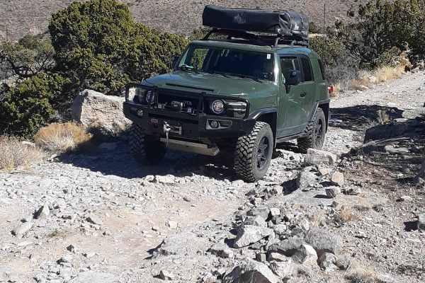
Cottonwood Flat
This trail is a through trail beginning at Virden Road off Hwy 70 N, 15 min past Tularosa, and ending on La Luz Canyon Road. Elevation ranges from 5,900 to 7,825, and in winter months expect a snowy and muddy trail requiring 4WD in some areas. There are various dispersed camp sites closer to the La ...
Learn more about Cottonwood Flat
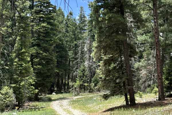
Karr Canyon
Karr Canyon is a scenic Forest Service road located within the Lincoln National Forest. The route begins with a gradual descent into a beautiful section of the forest, offering peaceful mountain scenery along the way. It also provides access to several hiking opportunities and features a few pull-of...
Learn more about Karr Canyon
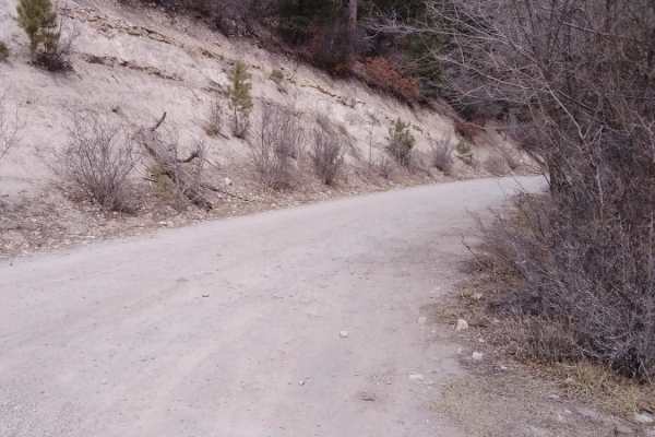
Bailey Canyon
This trail is a short three-mile switchback road that goes from Hwy 82 to the center of La luz trail. The views are very decent and there are a handful of decent campsites along the way. Possible sightings of elk and deer as well. This trail can be difficult when wet and snowy.
Learn more about Bailey Canyon
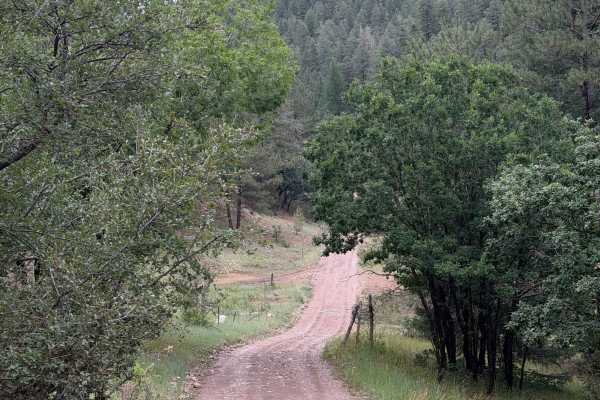
Bailey Annex
Bailey Annex is a scenic Forest Service road located just outside of Cloudcroft within the Lincoln National Forest. The trail climbs through the forest and features several large dispersed campsites along the route, making it a great destination for group camping. It also connects to other Forest Se...
Learn more about Bailey Annex
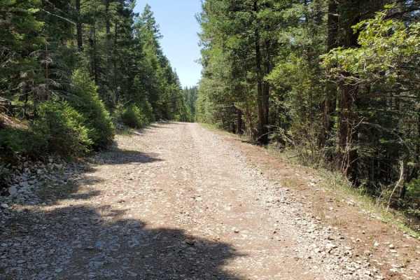
FR623
This is the Lincoln National Forest Road 623 from the Sunspot highway to the Chippaway Trailhead. It is rough in places, with plenty of sharp rocks, and there is a large water crossing that can be bypassed through a dispersed camping area. The road is fairly level, and wide enough in most places for...
Learn more about FR623
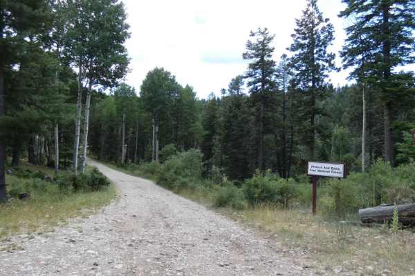
Karr Main
Karr Main is a decently maintained trail that is surrounded by thick forest trees, great dispersed camping sites, and a couple of small areas that give a glimpse overlooking the Alamogordo and White Sands Area. While the rock and dirt surface is in good condition with no obstacles larger than 10", t...
Learn more about Karr Main
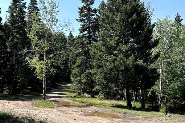
Alamo Canyon
Alamo Canyon is a scenic Forest Service road located within the Lincoln National Forest. This quiet route travels through the forest on a narrow dirt road, offering a peaceful drive with several dispersed camping opportunities along the way. Its secluded setting makes it a great choice for those loo...
Learn more about Alamo Canyon
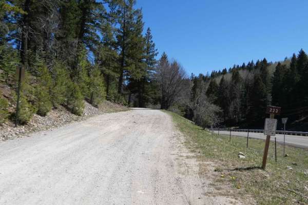
Benson Ridge
Benson Ridge can be found just off Highway 6563 approximately 8 miles south of Cloudcroft. The trail begins on a well-maintained surface and gradually changes to a more rocky and dirt surface. There are no obstacles larger than 10" along the route and most 4x4 and AWD vehicles will easily complete t...
Learn more about Benson Ridge
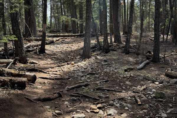
Pines North Trail
Pines North is a short singletrack that is 1.1-miles-long, meandering through a scenic forest environment up and over small rolling hills, full of tall ponderosa pines and white firs. The north end of the trail starts from a couple of dispersed camp sites, accessed off of Summer Pasture Road. The gr...
Learn more about Pines North Trail
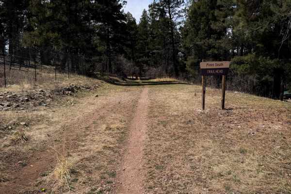
Pines South Trail
This is a short ATV trail that is 0.8 miles long. It is very gradual and wide, going along a grassy and flat shelf along a hillside. The trail is 20 to 30 feet wide at times. There is potential for a new downfall, especially in the early spring season, but many existing downed trees have already bee...
Learn more about Pines South Trail
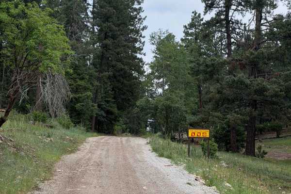
Summer Pasture
Summer Pasture is a scenic Forest Service road located within the Lincoln National Forest, just outside of Cloudcroft, New Mexico. This quiet route travels through the forest before ending at a locked gate, making it a peaceful destination for a relaxing drive. Along the way, you'll find several dis...
Learn more about Summer Pasture
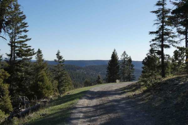
Pumphouse
Pumphouse is one of the first offroad trails south of Cloudcroft, NM just off of Highway 130. Turning onto Apache Canyon road, the trailhead is located just over 1/2 mile to the east and is the only full-size vehicle trail. The trail is just over single vehicle width at the beginning and slowly ta...
Learn more about Pumphouse
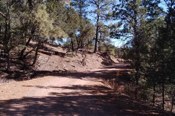
Burleson Ridge
Burleson Ridge is an inviting three-mile out-and-back spur trail in the Lincoln National Forest that offers stunning high-altitude views and a gateway to rugged backcountry exploration for high-clearance four-wheel-drive vehicles, OHVs, and SxSs. Branching off the popular Westside Road, this trail c...
Learn more about Burleson Ridge
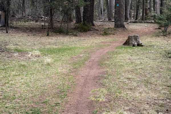
Little Apache Trail
The Little Apache Trail is a 2.8-mile-long loop that starts from the Silver Overflow Campground in the Lincoln National Forest. The trail starts to the north of the restroom on the east side of the lot. It is overall an easy and approachable trail for newer or younger riders looking to practice in f...
Learn more about Little Apache Trail
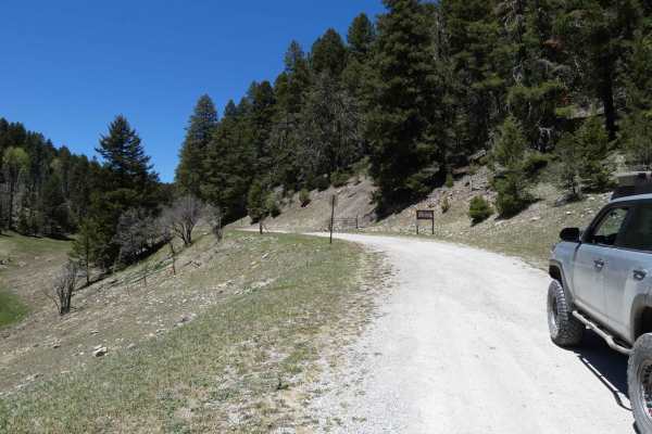
Atkinson Canyon
Atkinson Canyon can be found just south of Cloudcroft, NM off NM6563. The trail surface is a combination of dirt and rocks with no obstacles larger than 8" and very minor rutting in some low-lying areas. The trail will be easily passable by most vehicles including some 2WDs during the dry months, bu...
Learn more about Atkinson Canyon
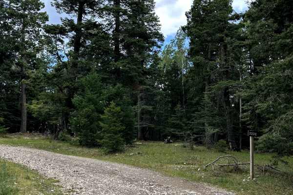
Benson Ridge South
Benson Ridge South is a scenic Forest Service road located within the Lincoln National Forest. This narrow backcountry route winds through the forest before ending at the Shortcut Trailhead, which provides access to a motorcycle trail that is not open to full-size vehicles. The peaceful setting and ...
Learn more about Benson Ridge South
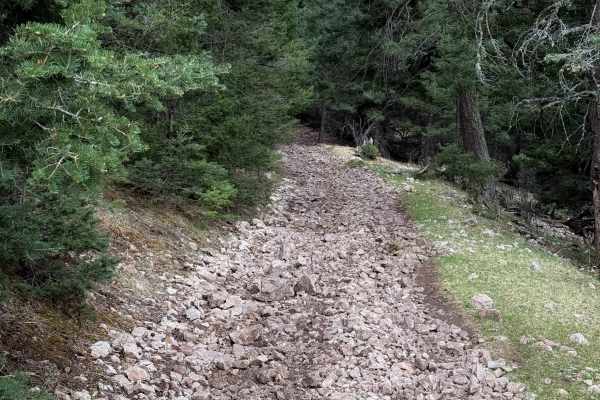
Schofield/Benson - FS 5007C
The east end of FS 5007C starts at an intersection with FS 5006, and it is immediately covered in loose softball-sized rocks that ping you around and make for a slower ride. The trail descends steeply with one big hairpin turn. It intersects with FS 5007 and continues on a rutted two-track, then cl...
Learn more about Schofield/Benson - FS 5007C
ATV trails near La Luz, New Mexico
Explore ATV-friendly trails near you. These trails are accessible for vehicles up to 50 inches wide, perfect for ATVs and smaller off-road machines.
Laborcita Canyon
Laborcita Canyon Road is located in Lincoln National Forest, just Northeast of La Luz, NM. This trail runs North-South through the National Forest. The trail starts on pavement then turns to dirt about a mile in. Cottonwood Flat trail intersects with Laborcita Canyon at about 3.7 miles. Laborcita Ca...
Learn more about Laborcita Canyon
La Luz South
La Luz is a scenic Forest Service road that begins in the community of High Rolls, New Mexico, before climbing into the Lincoln National Forest. The route starts in a high desert landscape with sweeping views of the surrounding basin before gradually transitioning into dense pine forest as it gains ...
Learn more about La Luz South
Helms Trail
This is a more technical trail that connects Tularosa Canyon and Coyote Canyon. This high desert route carves through riverbeds and up steep hills with loose rocks, making it an excellent tour of New Mexico terrain. Some sections are narrow due to washout and the specific route of travel may change ...
Learn more about Helms Trail
Cottonwood Flat
This trail is a through trail beginning at Virden Road off Hwy 70 N, 15 min past Tularosa, and ending on La Luz Canyon Road. Elevation ranges from 5,900 to 7,825, and in winter months expect a snowy and muddy trail requiring 4WD in some areas. There are various dispersed camp sites closer to the La ...
Learn more about Cottonwood Flat
UTV/side-by-side trails near La Luz, New Mexico
Find UTV and side-by-side trails near you. These trails accommodate vehicles up to 60 inches wide, ideal for UTVs, side-by-sides, and wider off-road rigs.
Laborcita Canyon
Laborcita Canyon Road is located in Lincoln National Forest, just Northeast of La Luz, NM. This trail runs North-South through the National Forest. The trail starts on pavement then turns to dirt about a mile in. Cottonwood Flat trail intersects with Laborcita Canyon at about 3.7 miles. Laborcita Ca...
Learn more about Laborcita Canyon
La Luz South
La Luz is a scenic Forest Service road that begins in the community of High Rolls, New Mexico, before climbing into the Lincoln National Forest. The route starts in a high desert landscape with sweeping views of the surrounding basin before gradually transitioning into dense pine forest as it gains ...
Learn more about La Luz South
Helms Trail
This is a more technical trail that connects Tularosa Canyon and Coyote Canyon. This high desert route carves through riverbeds and up steep hills with loose rocks, making it an excellent tour of New Mexico terrain. Some sections are narrow due to washout and the specific route of travel may change ...
Learn more about Helms Trail
Karr Canyon
Karr Canyon is a scenic Forest Service road located within the Lincoln National Forest. The route begins with a gradual descent into a beautiful section of the forest, offering peaceful mountain scenery along the way. It also provides access to several hiking opportunities and features a few pull-of...
Learn more about Karr Canyon
The onX Offroad Difference
onX Offroad combines trail photos, descriptions, difficulty ratings, width restrictions, seasonality, and more in a user-friendly interface. Available on all devices, with offline access and full compatibility with CarPlay and Android Auto. Discover what you're missing today!
Open Trail Map