Benson Ridge South

Total Miles1.1
Technical Rating
2Easy
Best TimeSpring, Summer, Fall
Trail TypeFull-Width Road
Accessible By
Open Trail Map

Trail Overview

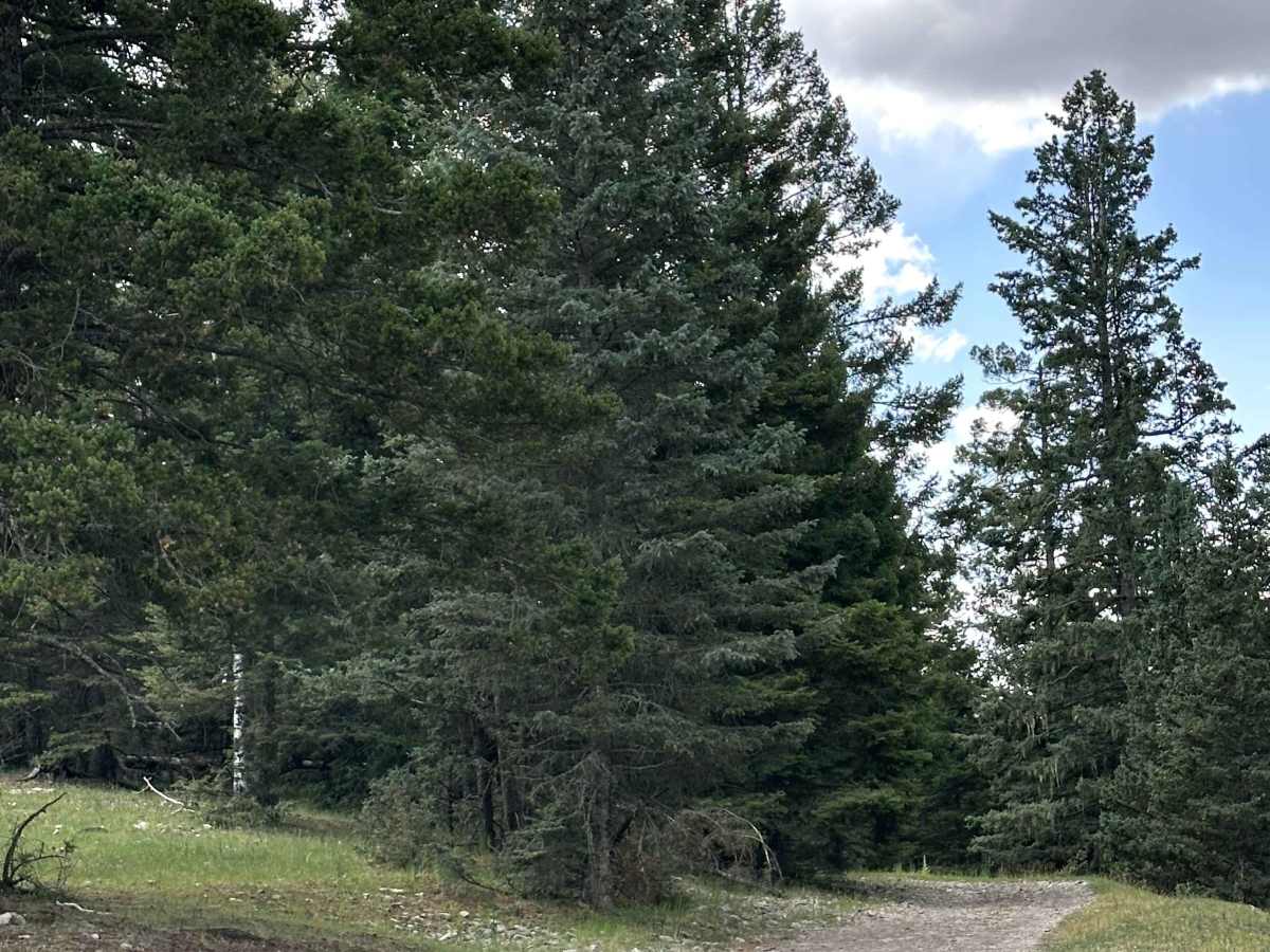
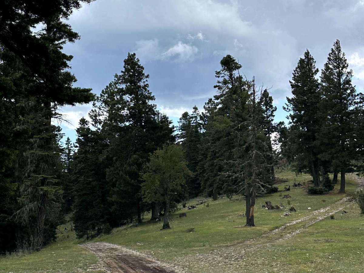
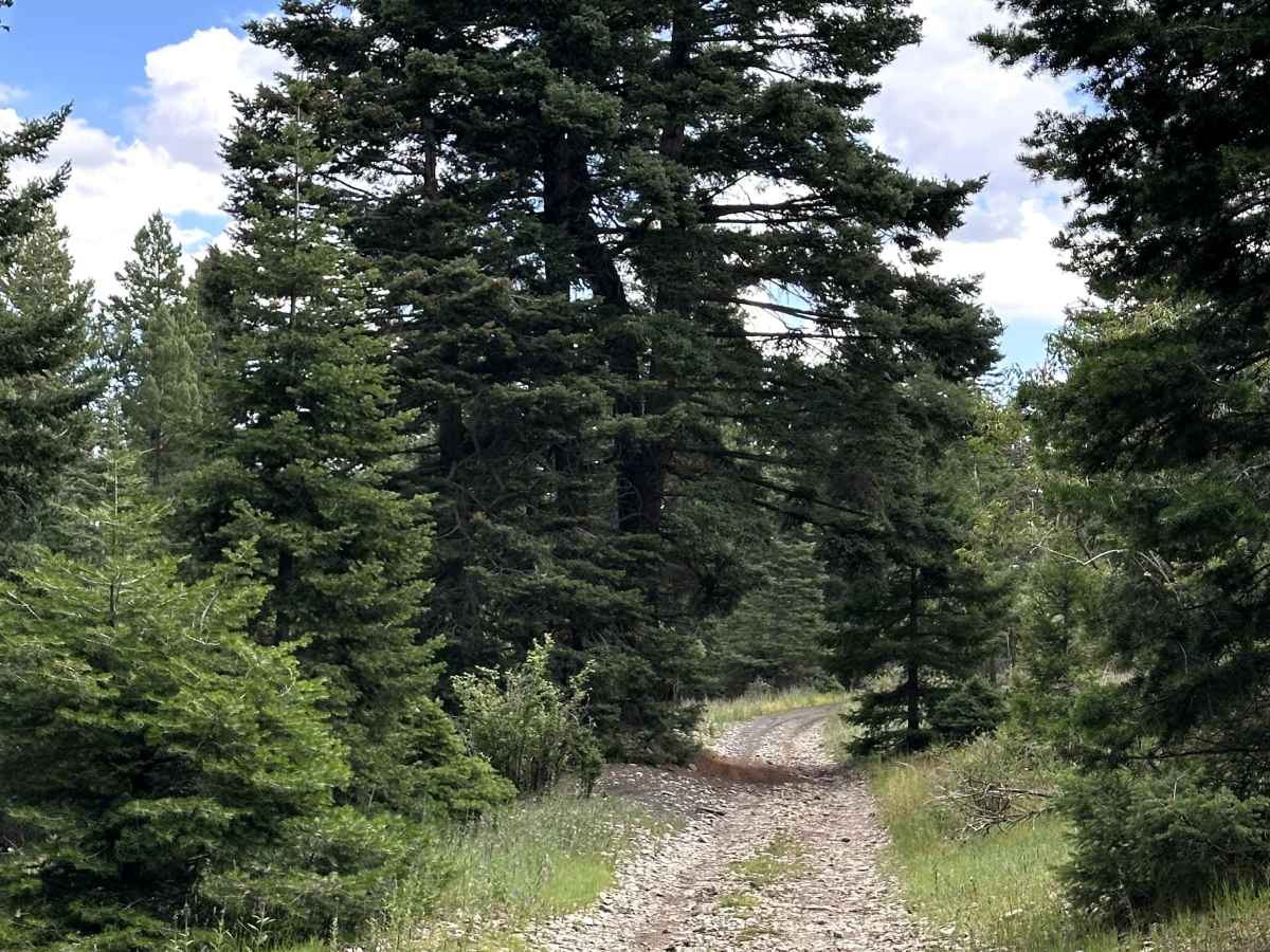
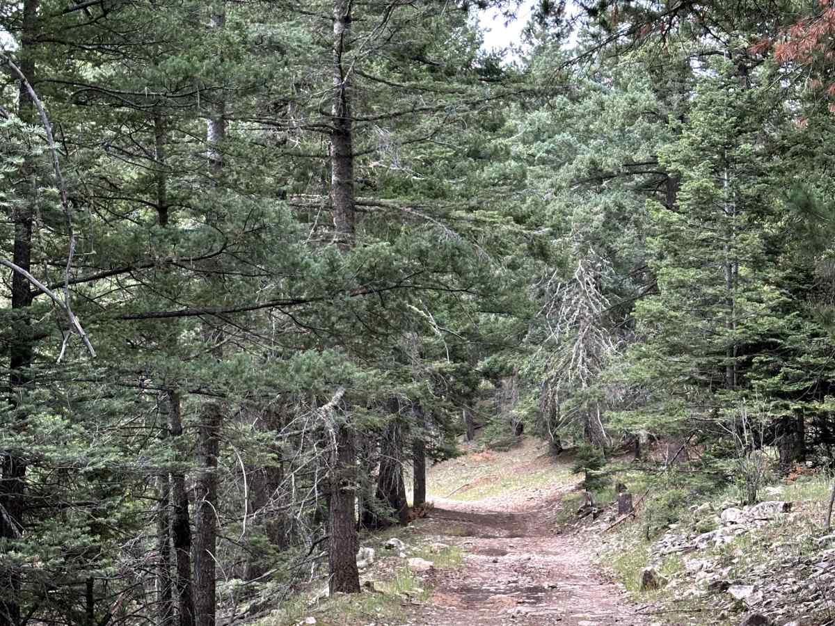
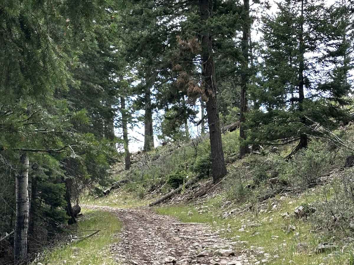
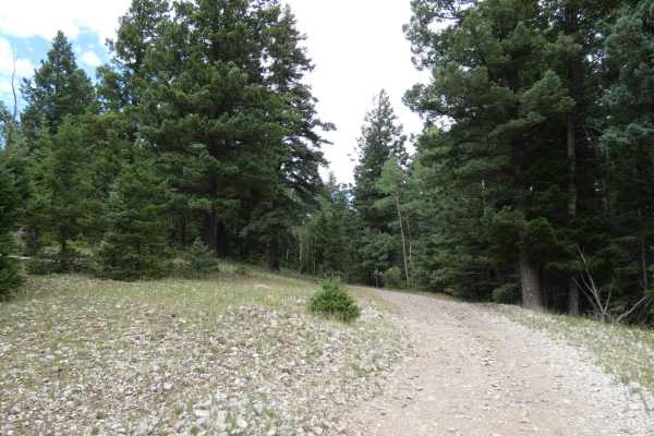
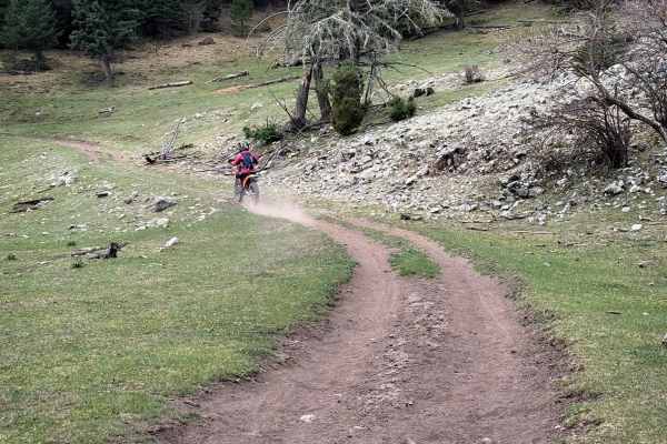
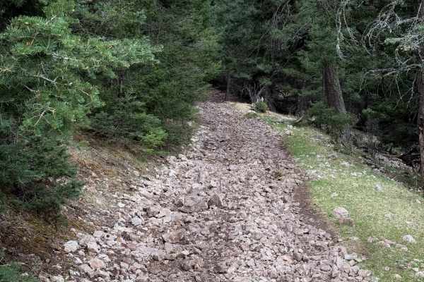
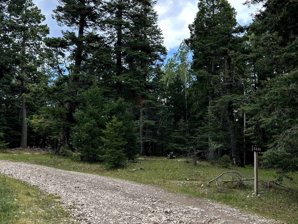
Benson Ridge South is a scenic Forest Service road located within the Lincoln National Forest. This narrow backcountry route winds through the forest before ending at the Shortcut Trailhead, which provides access to a motorcycle trail that is not open to full-size vehicles. The peaceful setting and forest scenery make it an enjoyable drive for those exploring the area.

Photos of Benson Ridge South

Difficulty

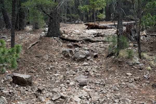
This trail is primarily a narrow gravel road with a few rocky sections and a gradual incline. While there are no major obstacles, the tight width may require extra attention in some areas. Overall, it is an easy trail that is best suited for high-clearance vehicles.

Technical Rating

2

Benson Ridge South Trail can be accessed by the following ride types:

  • Single Track
  • 50 Inch
  • 60 Inch
  • High Clearance
  • Full Width

Benson Ridge South Map

The onX Offroad Difference

onX Offroad combines trail photos, descriptions, difficulty ratings, width restrictions, seasonality, and more in a user-friendly interface. Available on all devices, with offline access and full compatibility with CarPlay and Android Auto. Discover what you're missing today!

Open Trail Map