Trail Overview
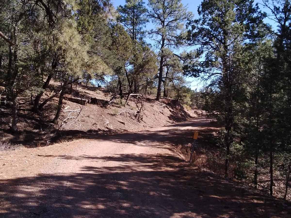
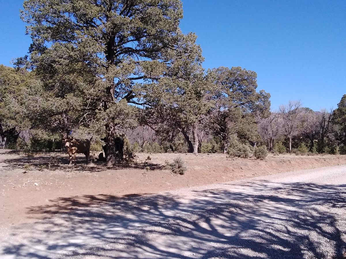
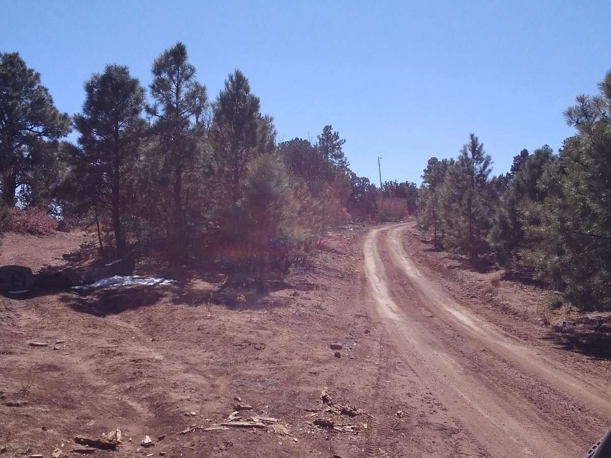
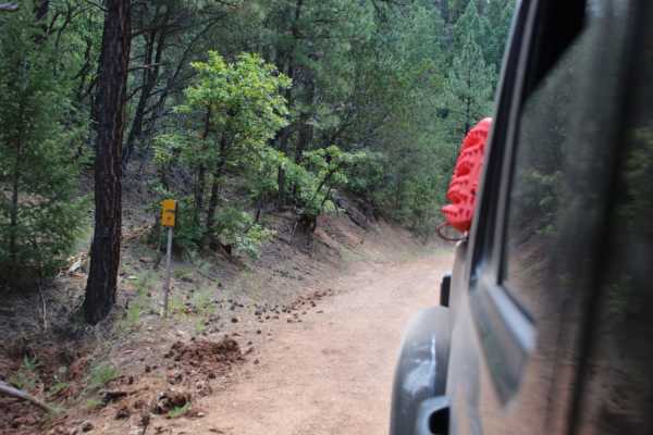
Burleson Ridge is an inviting three-mile out-and-back spur trail in the Lincoln National Forest that offers stunning high-altitude views and a gateway to rugged backcountry exploration for high-clearance four-wheel-drive vehicles, OHVs, and SxSs. Branching off the popular Westside Road, this trail climbs from 7,626 feet to a peak elevation of 8,111 feet, winding through scenic mountain terrain marked by sparse pine forests and open ridges. Drivers will navigate a mostly dirt and loose rock surface that is generally straightforward but presents occasional rutted sections requiring careful line selection. Along the way, the route offers panoramic vistas of the surrounding Sacramento Mountains, with frequent signs indicating the presence of Barbary sheep in the area.
With an overall technical rating of 3, the trail climbs 611 feet over its course, making it accessible to stock four-wheel-drive SUVs and off-road rigs alike. Near the trail's end near Mule Peak, a large staging area provides ample space to unload SxSs or off-road rigs, while a decent campsite on the right side of the trail offers an excellent spot for dispersed camping. Although the main vehicle route terminates at a locked gate, those looking for further adventure can access nearby ATV trails on the left or connect to the Kilbourne trail. This trail is typically best run from late spring through fall when the high-elevation roads are free of snow, making it a perfect quick addition to a larger day of exploring the Westside Road network.
Access Description
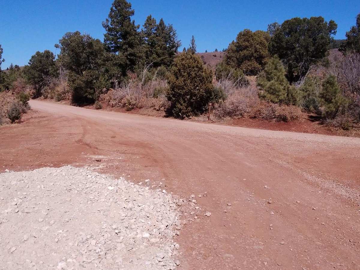
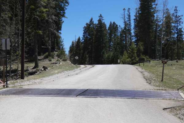
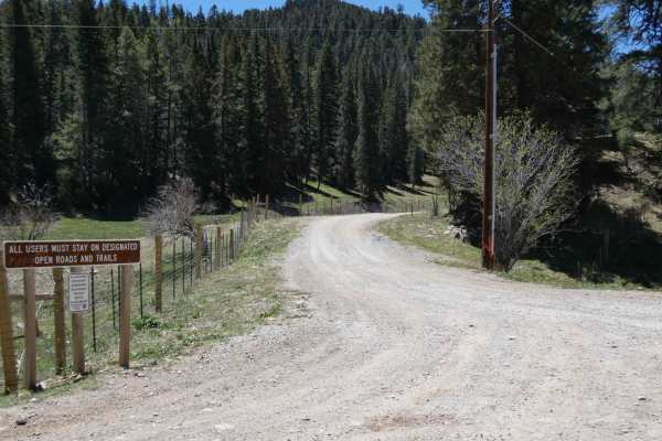
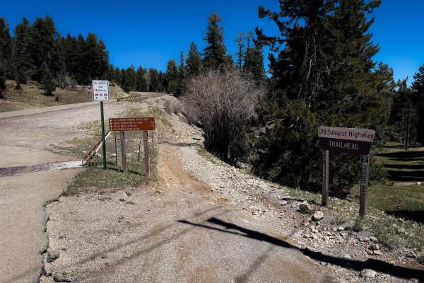
Burleson Ridge is accessed via Westside Road (Forest Road 90) in the Lincoln National Forest. No fees or permits are required to drive this route, but seasonal winter closures may apply depending on snow levels. Drivers should check local forest service conditions before heading out.