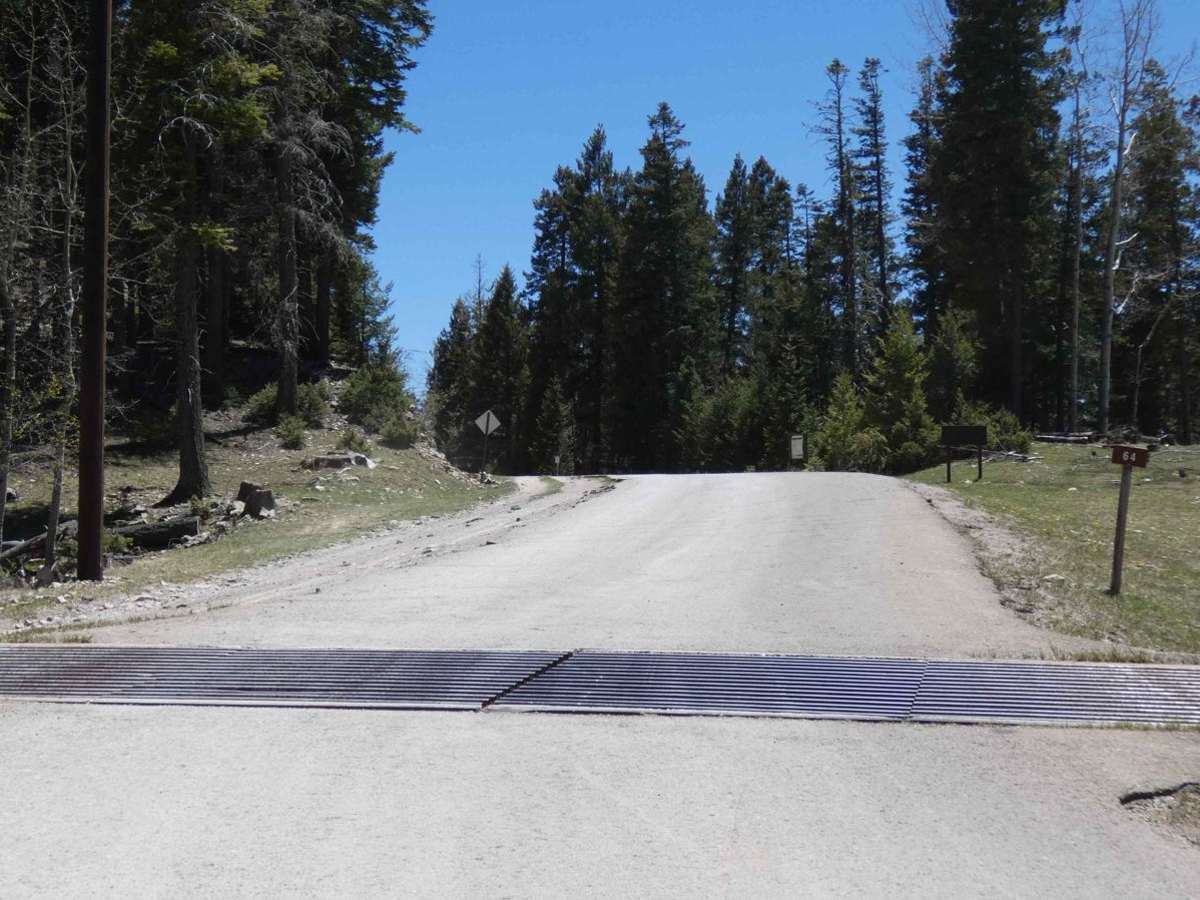
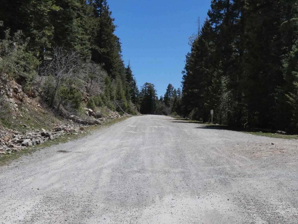
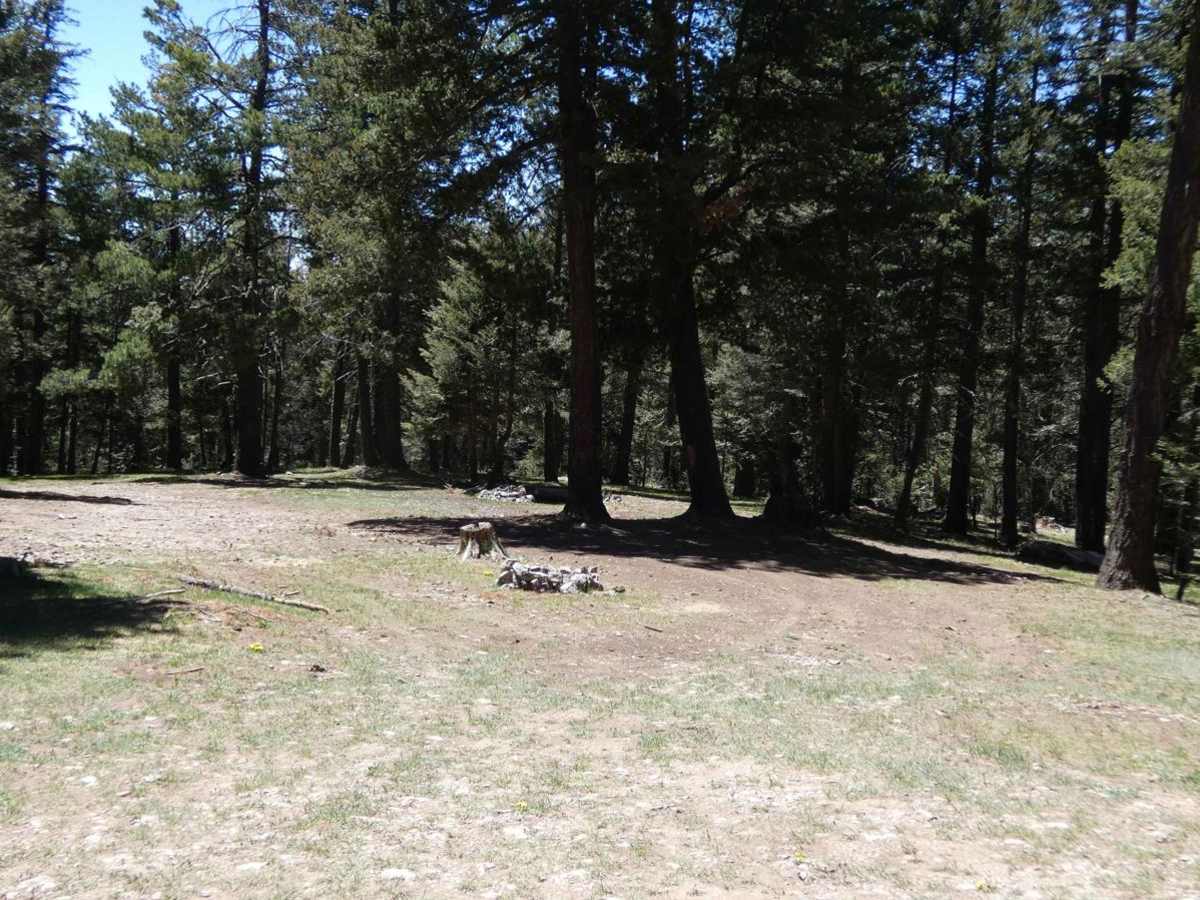
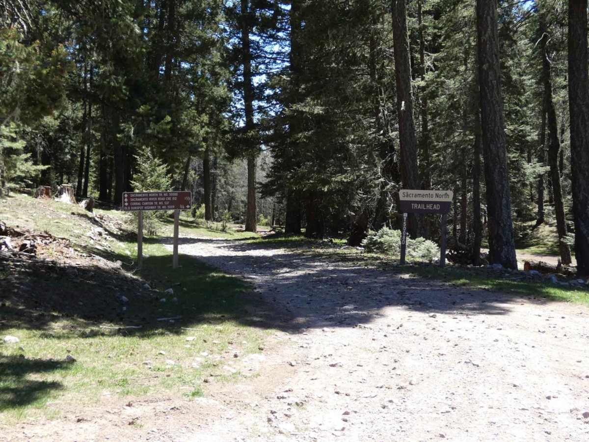
Agua Chiquita

Total Miles 10.8
Technical Rating
1 Easy
Best Time Spring, Summer, Fall
Trail Type Full-Width Road
Accessible By
Open Trail Map

Trail Overview

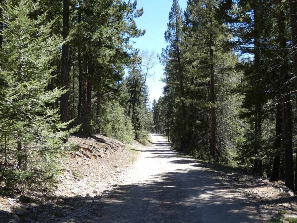
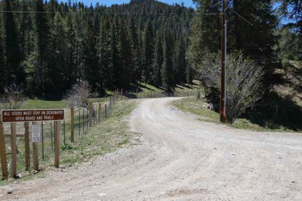
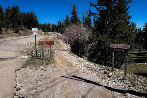
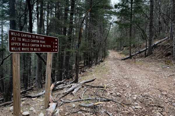
Agua Chiquita is an overall very well-maintained road that will be easily accessible by most vehicles including 2wd with decent clearance. Turning off from NM6563 there is a short section of pavement where the trail begins. This changes to a combination of gravel and dirt and becomes a more dirt and rock combination for the rest of the route. There are some small rock gardens throughout and some larger loose rocks but no large obstacles. A majority of the trail is wide enough for two vehicles with only a couple small sections that narrow down to a single vehicle width. Like most of the trails in this area, there are multiple dispersed camping areas as well as hiking and 50" or less motorized spurs along the route, many of which are designated with signage. Towards the south end of the trail, views are slightly more open but show signs of substantial burn scar. There are no obstacles larger than 10" along the route, but there are a few low-lying areas that have the potential to be shallow to moderate water crossings after snow melt or heavy rains. There is no cell service in this area. The trail can be run multiple ways as it connects to FS460 in the south that runs back to NM6563, or continue on Agua Chiquita where it becomes a county road that leads to several additional trails in the southeast portion of Lincoln National Forest. During winter months expect this route to be inaccessible as the snow can be extremely heavy making the trail impassable.

Photos of Agua Chiquita

Difficulty

Trail has the potential for shallow water crossings in low-lying areas as well as some minor rutting. After rain or snow melts, there are softer dirt sections that will be very muddy and slippery. During the winter snowfall can be substantial making the trail impassable.

Technical Rating

1

Status Reports

Add Status Report
Mark D
Jul 20, 2025
Open
The road starts easily and later gets to where ground clearance is needed. Some minor water crossing the road from springs. 4WD recommended but likely possible in good conditions in 2WD. Camping options are limited and close to the road since valley is narrow. Easy camping spots near beginning of trail.
Ryan Traphagan
Jul 17, 2025
Open
This was an easy very scenic through trail connecting you from Sunspot Hwy (6563) to Scott Able Rd which takes you back to Sunspot Hwy or you can continue on Aqua Chiquto Rd which will take you to other roads and trails. I took the Scott Able Rd back to Sunspot Hwy. There are tons of great camping spots on this trail. Also, make sure you take the Sacramento Lookout in and back spur, the views from there are fantastic. You can also camp on top of the lookout. The trail is mostly gravel with some rocks here and there, I would definitely air-down. Oh, if you take Scott Able in the rainy season it might not be passable because it crosses a mountain water wash, and in that wash there is washout that a low clearance vehicle (car) would have some problems with.
Matt Hinkle
Apr 06, 2024
Open
Trail was very easy. We had a light snow the night before but the trail was clear. Only a few spots with mud but easily passable.
Adam netherton
Aug 12, 2023
Open
Emmanuel lopez
Jun 25, 2023
Open
Emmanuel lopez
May 29, 2023
Open

Agua Chiquita Trail can be accessed by the following ride types:

  • Single Track
  • 50 Inch
  • 60 Inch
  • High Clearance
  • Full Width

Agua Chiquita Map

The onX Offroad Difference

onX Offroad combines trail photos, descriptions, difficulty ratings, width restrictions, seasonality, and more in a user-friendly interface. Available on all devices, with offline access and full compatibility with CarPlay and Android Auto. Discover what you're missing today!

Open Trail Map