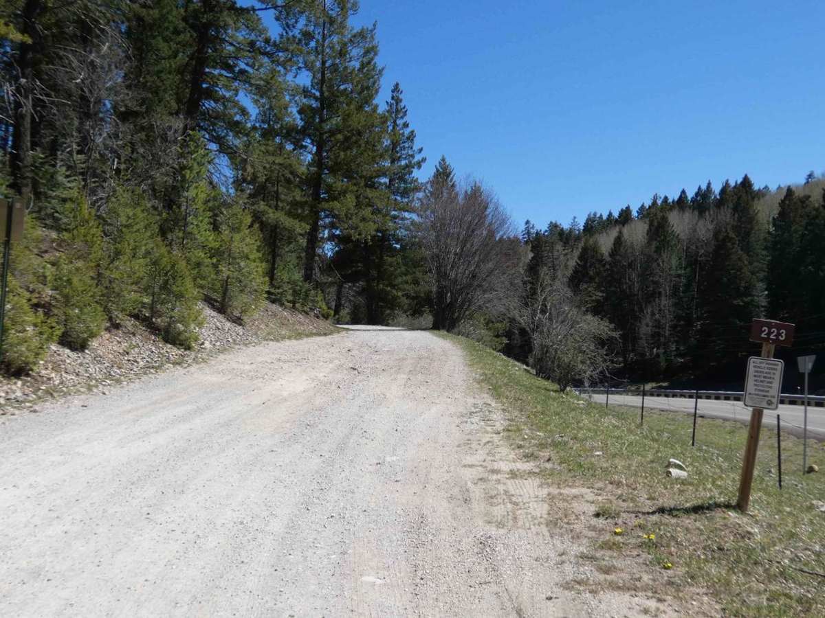
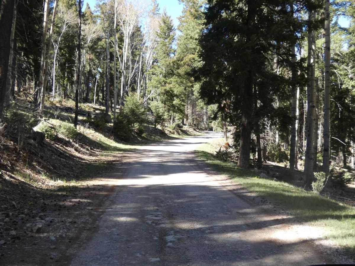
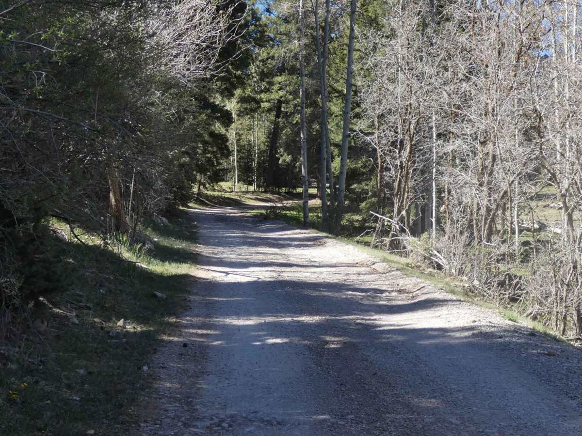
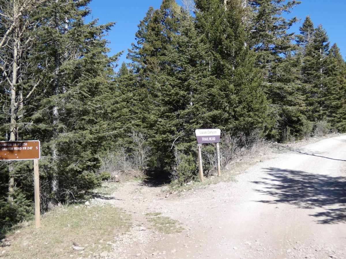
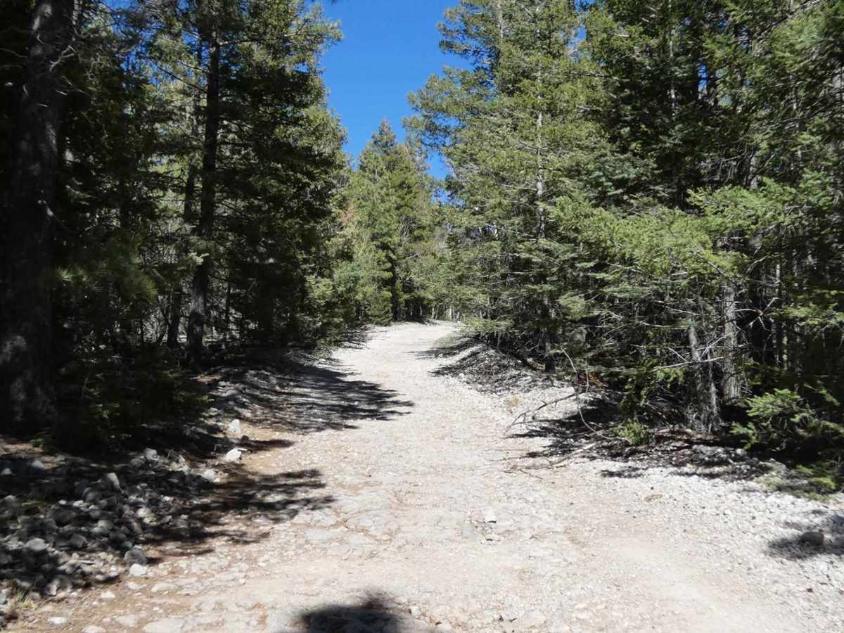
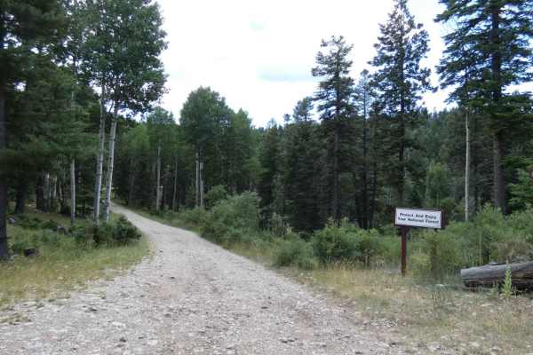
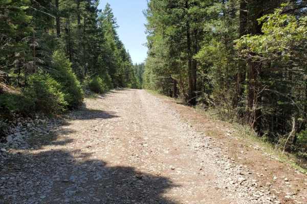
Trail Overview
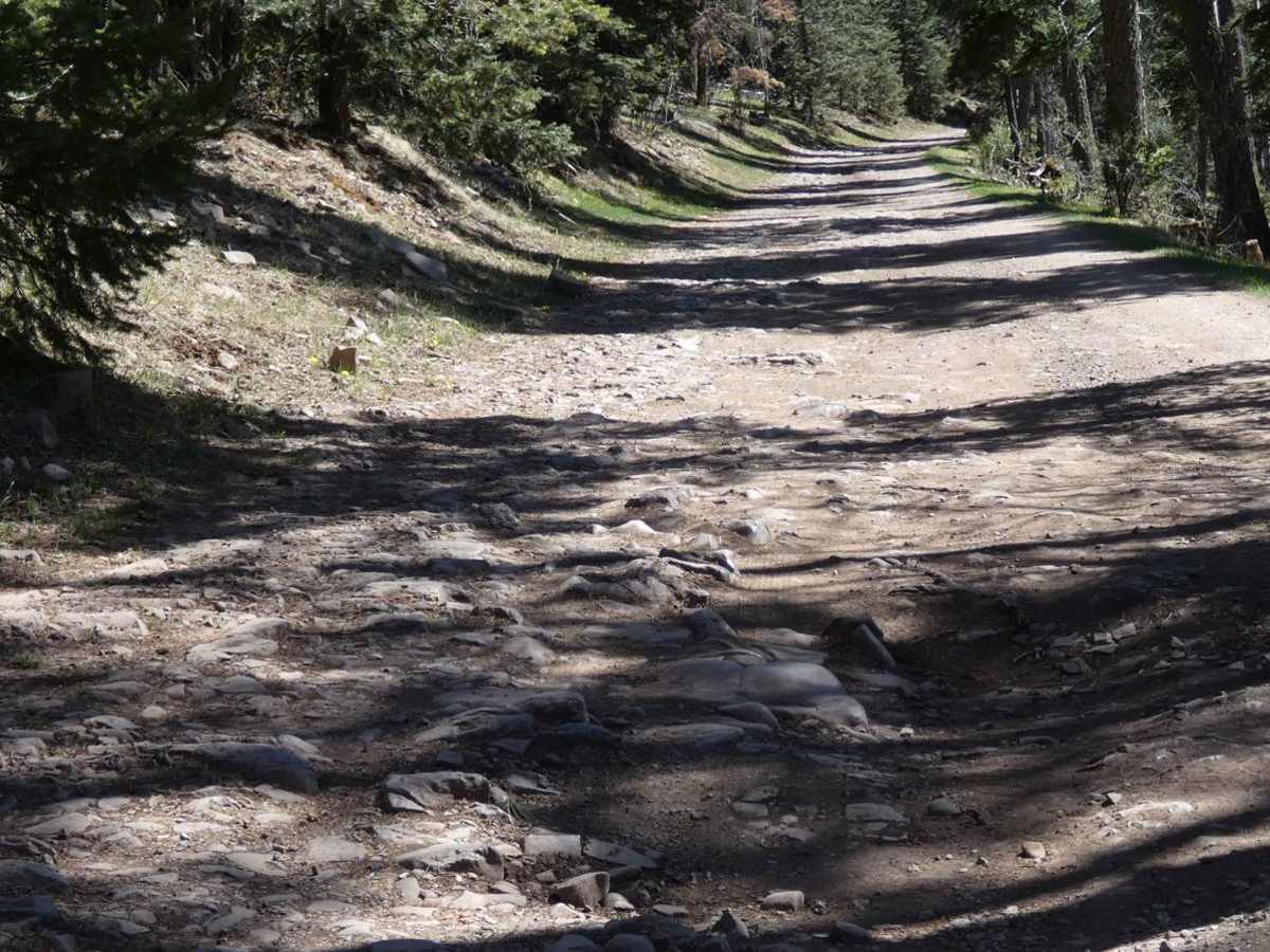
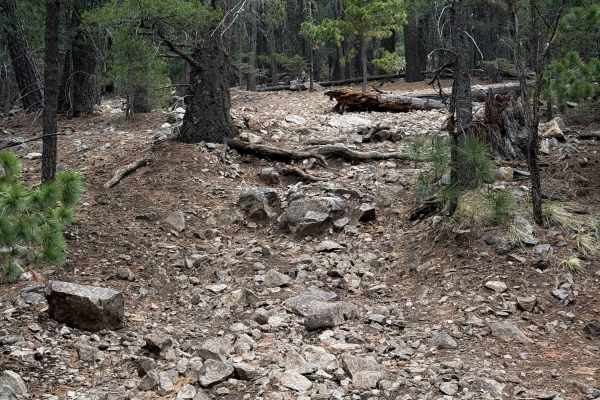
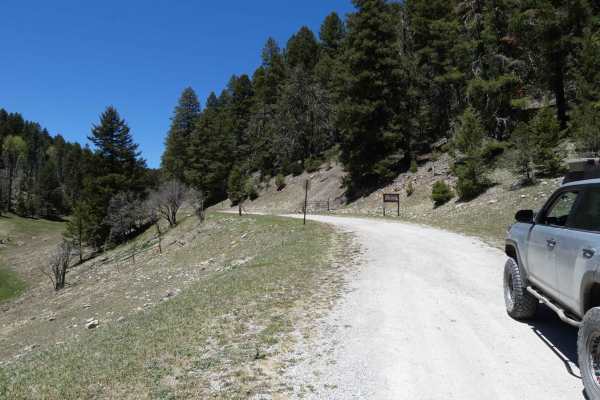
Benson Ridge can be found just off Highway 6563 approximately 8 miles south of Cloudcroft. The trail begins on a well-maintained surface and gradually changes to a more rocky and dirt surface. There are no obstacles larger than 10" along the route and most 4x4 and AWD vehicles will easily complete the trail. Portions of the trail do show some signs of water/snow runoff with minor rutting, expect these to become worse after snow or heavy rains. Overall the route is single-vehicle wide but does provide enough room to pass if needed. There are a few dispersed campsites along the way as well as several hiking and motorized trails. Predatory wildlife is active in this area, be alert and aware while hiking. Cell service is very weak just over 5 miles into the trail with the rest of the trail having no service. Views are limited for the most part due to heavy tree coverage with only a small area giving a more open view to the south. The trail ends in a small open meadow with room to camp. The area is heavily prone to downed trees and large loose rocks, many of which impede the trail. During the winter the trail may be impassable due to heavy snowfall.
Difficulty
The trail shows some signs of minor rutting and softer dirt sections will be slippery mud after rain or snow melt. There is a short steep grade ascent with loose rocks in one section of the trail that some high clearance 2WD's may find difficult. Snow impacts this area heavily during the winter and the trail may be impassable during the winter months. Expect downed trees and some minor rockfall to impede on the trail.