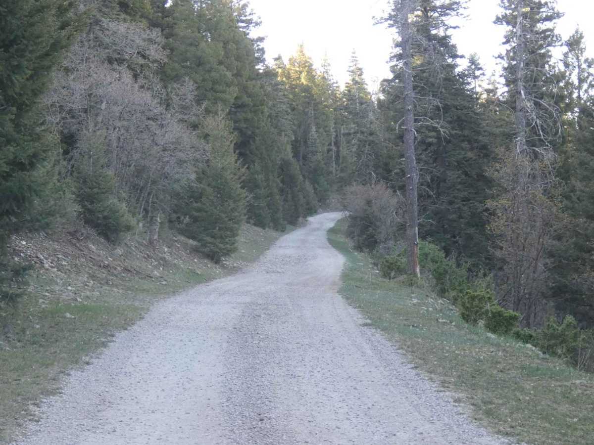
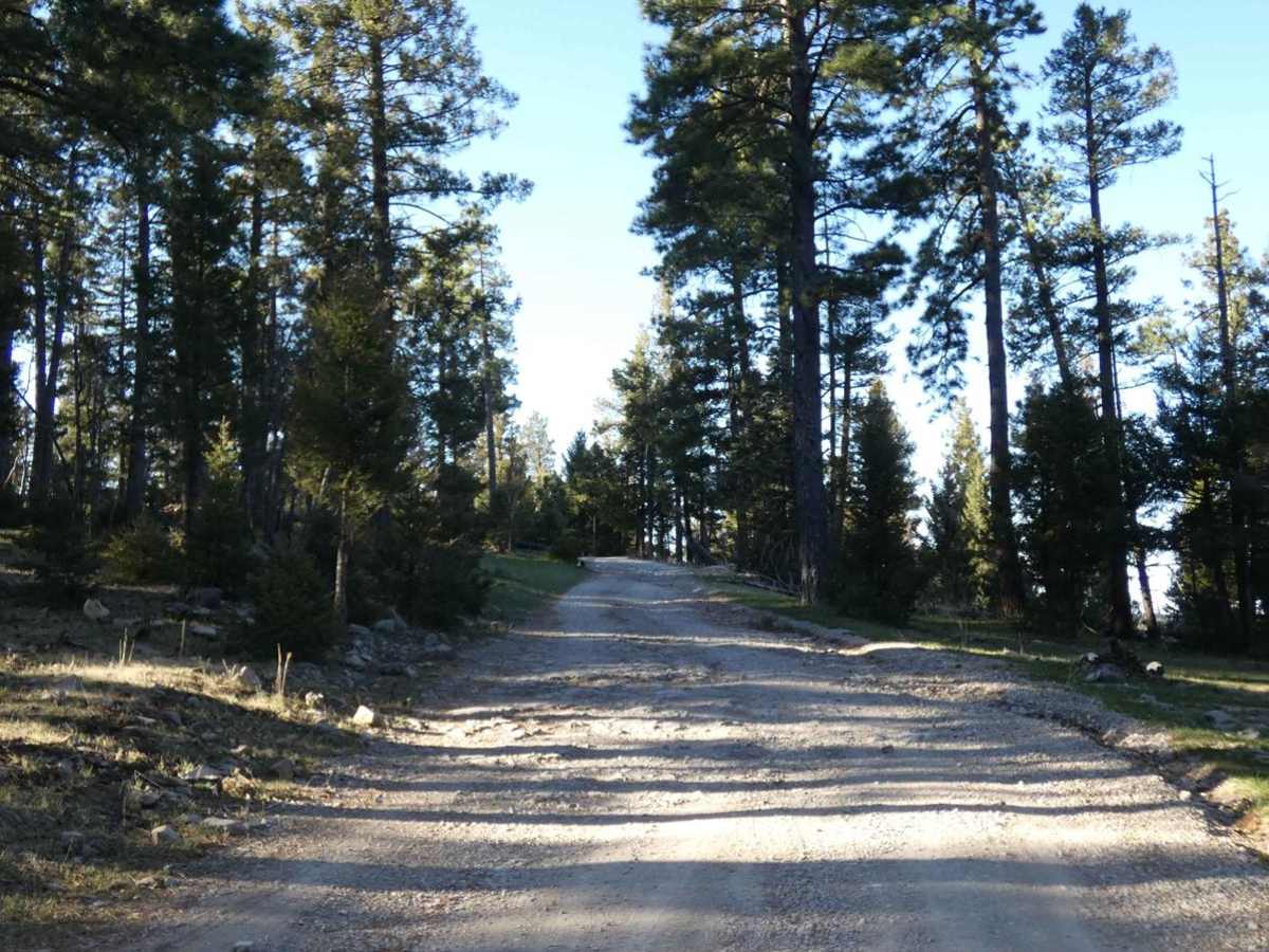
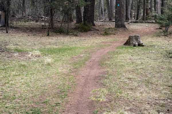
Pumphouse

Total Miles 8.1
Technical Rating
1 Easy
Best Time Spring, Summer, Fall
Trail Type Full-Width Road
Accessible By
Open Trail Map

Trail Overview

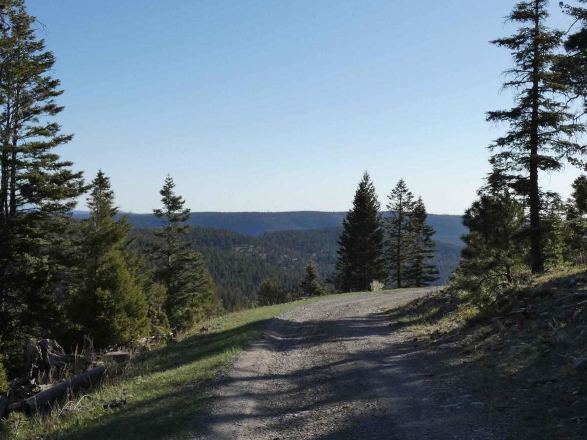
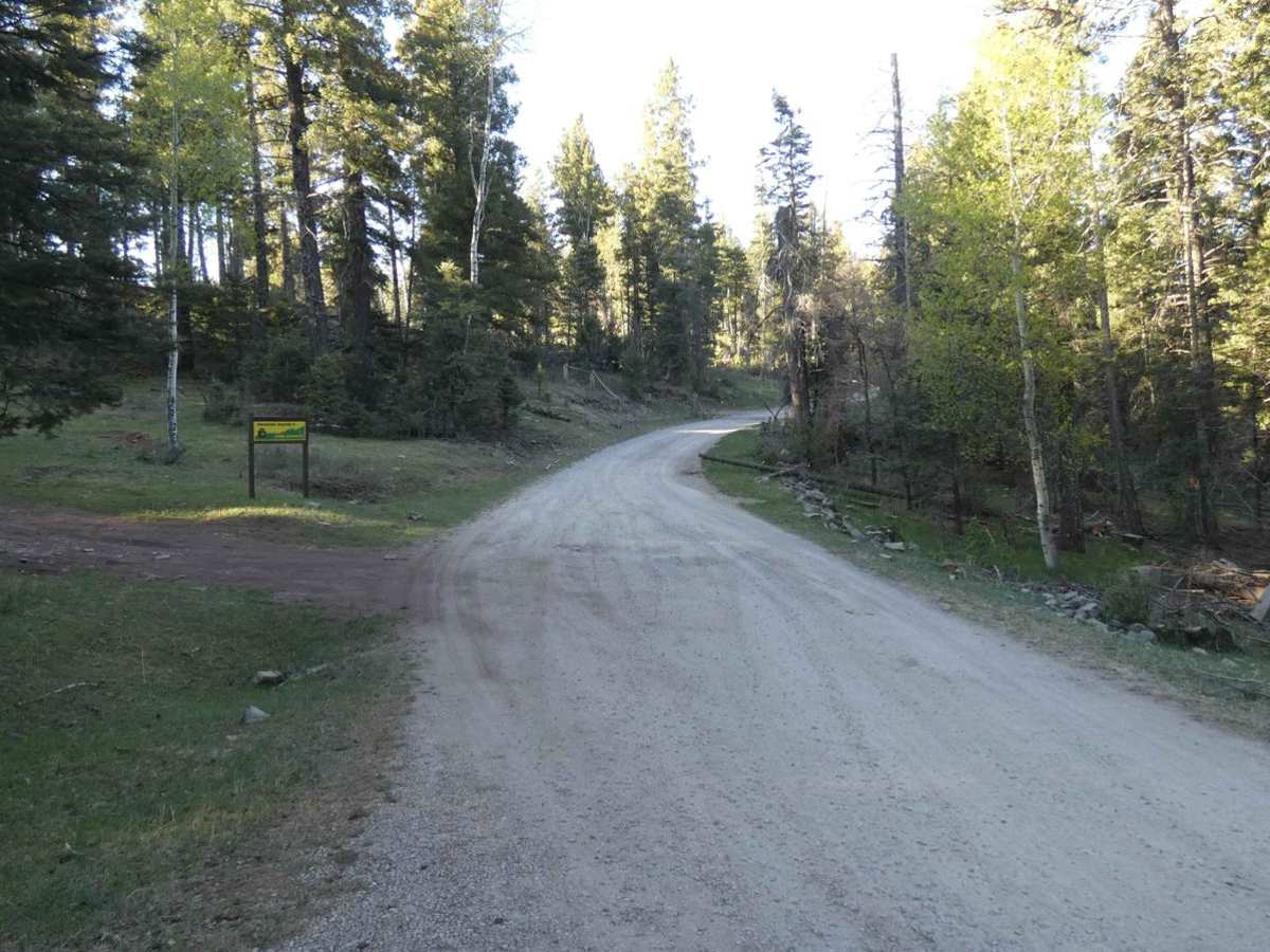
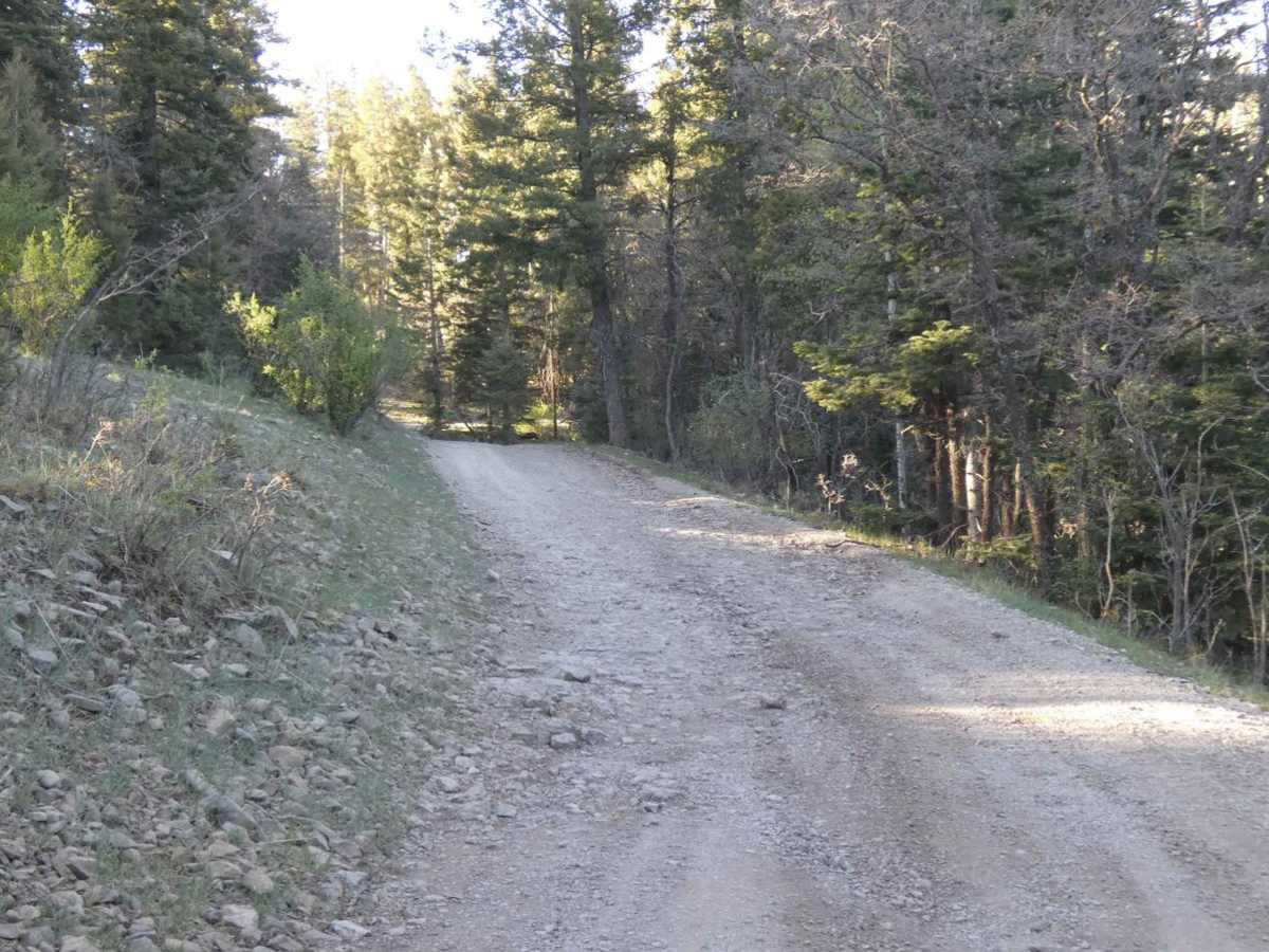
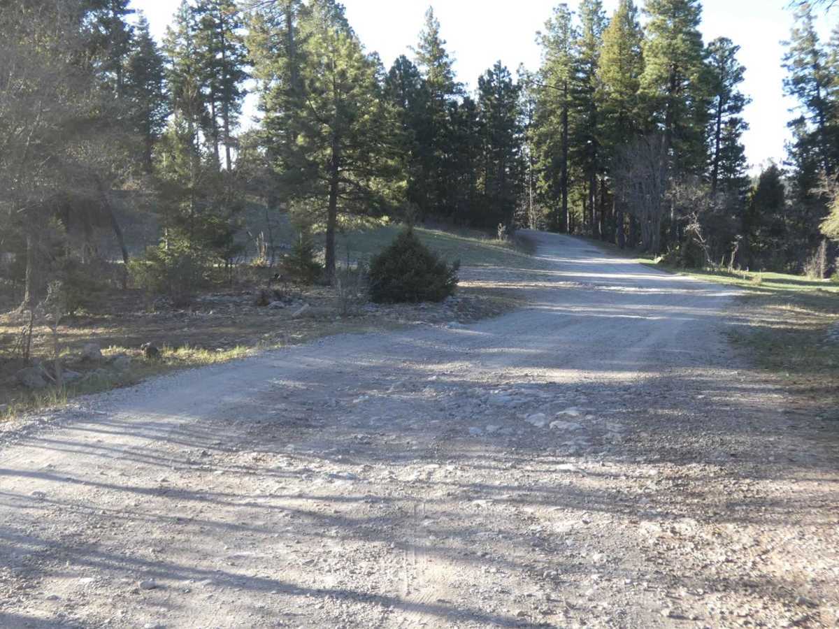
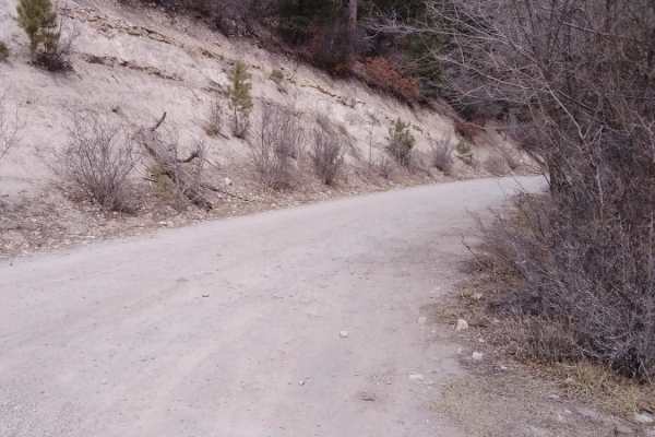
Pumphouse is one of the first offroad trails south of Cloudcroft, NM just off of Highway 130. Turning onto Apache Canyon road, the trailhead is located just over 1/2 mile to the east and is the only full-size vehicle trail. The trail is just over single vehicle width at the beginning and slowly tapers down to a single-vehicle width with room to pass in most areas. The surface is well maintained and a combination of dirt and rocks with no large obstacles making it easily accessible for most vehicles including some 2WDs with good clearance. While there are no large surface/rock formation obstacles, minor rockfalls, and downed trees are common throughout this area and can impede on the trail, so be prepared. Views are limited due to thick tree coverage with only a small area towards the end giving a more open glimpse of the surrounding area. There are several areas for dispersed camping throughout, some along the trail and a few more secluded that are tucked behind the tree line. Cell service fluctuates through the trail. There are several designated hiking trails through this area, as well as some additional motorized trails. Wildlife is abundant with deer and elk frequently crossing the route. The trail dead ends in a small open area with plenty of room to turn around or camp. Snowfall can be substantial during the winter in this area and can make the trail impassable.

Photos of Pumphouse

Difficulty

Trail does have some areas of loose rocks and minor rutting due to water runoff as well as mud that 2WD vehicles will find difficult to traverse. Downed trees and minor rockfalls are to be expected in the area and during winter, the snow can cause the trail to become impassable.

Technical Rating

1

Status Reports

Add Status Report
Charlie Prince
Jun 13, 2026
Open
Trail was easy going and not very busy. Some rocky areas and standing water from an afternoon thunderstorm but otherwise very chill. Be careful as there are roaming cattle near the end of the trail. Some prime dispersed camping spots along the way.
Jarod Belshaw
Mar 16, 2026
Open
Tony Roberts
Oct 05, 2025
Open
michael mcmillan
Sep 17, 2025
Open
Trails closed. Gates closed. No information was found nor given.
Jeff Perry
Jun 06, 2025
Open
Easy trail. Some rocky sections but nothing terrible. Saw several deer and a couple turkeys towards the beginning of the trail but further on no wildlife seen.
Ryan Killian
Mar 16, 2025
Open
Almost no wildlife
Mike S
Feb 03, 2025
Open
Trail is a little rocky in spots, but very easy. There are still a couple of shady spots that are still icy.
Russell Monroe
Nov 23, 2024
Open
A few spots with light snow and ice. We got towards the end where it became mostly light snow with more ice so we backed out to a safe spot to turn around.
Chris Carrasco
Nov 22, 2024
Open
Some sections have light accumulations of snow. Last couple of miles have snow and ice accumulations.
Cameron Coffey
Sep 07, 2024
Open
Drove in a few miles to find a spot for the night while passing through the Cloudcroft area. Rocky but nothing too big. Quite a few others (4x4s and side by sides) throughout the first few miles we were on.
B Stacks stacks
Aug 07, 2024
Open
Joseph Garcia
Jul 23, 2024
Open
About 9 mile run to the top where it ends. Nice little run if you want some quiet time at the top. Didn’t walk the trail to Pumphouse but will next time. Few rocky spots here and there but should be easy for most vehicles.
Austin Gillis
Jun 19, 2024
Open
Luis Salazar
Sep 16, 2023
Open
Adam netherton
Jul 23, 2023
Open

Pumphouse Trail can be accessed by the following ride types:

  • Single Track
  • 50 Inch
  • 60 Inch
  • High Clearance
  • Full Width

Pumphouse Map

The onX Offroad Difference

onX Offroad combines trail photos, descriptions, difficulty ratings, width restrictions, seasonality, and more in a user-friendly interface. Available on all devices, with offline access and full compatibility with CarPlay and Android Auto. Discover what you're missing today!

Open Trail Map