
Dirt Bike Trails
Near Juntura, Oregon
Explore All Dirt Bike Trails Near Juntura, Oregon
Dirt Bike Trails Near Juntura, Oregon
Discover the best dirt bike trails near you. Browse trail maps, check difficulty ratings, and find your next adventure — whether you're looking for a quick ride or an all-day expedition.
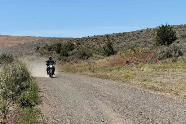
Bonita Road
This 30-mile Westfall loop is a scenic adventure ride through the remote backcountry west of Westfall, Oregon, winding across a mix of fast gravel roads, two-track, and rugged ranch and forest terrain. The route climbs and descends through rolling hills with expansive views of the surrounding high d...
Learn more about Bonita Road
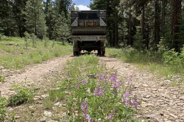
NFDR1675 Crane Creek CG
This short trail provides a great selection of campsites, mild technical obstacles and a few water crossings. Things start out pretty easy. As you meander along to the North Fork of the Malheur River, the terrain becomes more challenging after crossing the bridge and passing the larger semi-develope...
Learn more about NFDR1675 Crane Creek CG
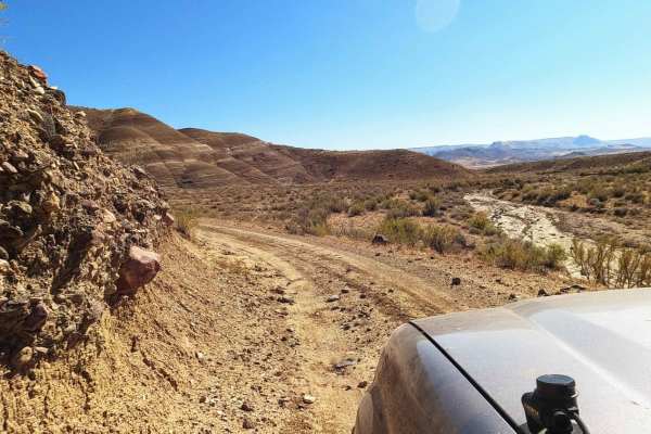
Dry Creek Road
Dry Creek Road is an ideal route for remote overland enthusiasts and dual-sport riders seeking a scenic, solitary drive along the dramatic, volcanic canyons of eastern Oregon's Owyhee Country. Stretching approximately 24 miles along the western side of the Owyhee Reservoir, this easy dirt road provi...
Learn more about Dry Creek Road
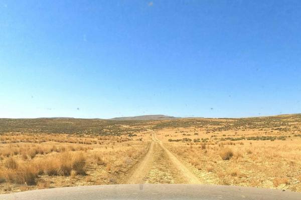
Dry Buttes Reservoir
The Dry Buttes Reservoir trail is a remote out-and-back spur designed for intermediate offroaders looking to explore the wild and desolate backcountry of the Owyhee Canyonlands. Spanning approximately 3.2 miles, this rough dirt road climbs into the Dry Buttes Wilderness Study Area (WSA) and terminat...
Learn more about Dry Buttes Reservoir
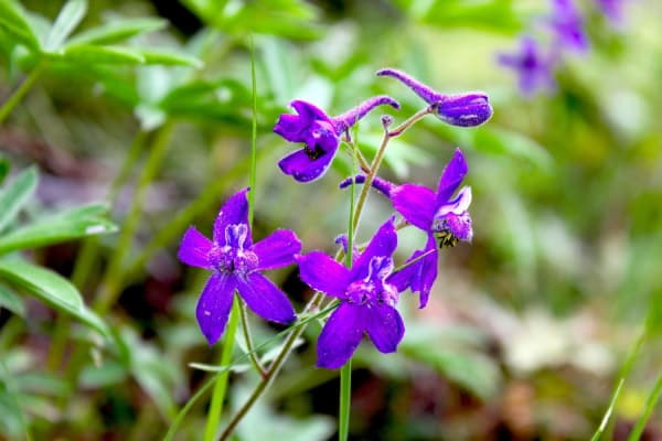
Calamity Butte Lookout
This trail leads to Calamity Butte Lookout, which is a very old lookout but still used when needed. The trail starts going through beautiful ponderosa forests, and near the top are mountain mahogany and a variety of wildflowers. Watch for large rock cairns on the saddle near the 3-way intersection a...
Learn more about Calamity Butte Lookout
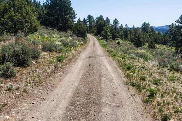
Shadow of Calamity
This trail is a great access to the south side of Calamity Butte through Ponderosa and mixed conifer forest. There are beautiful aspen glades in several places along this route. The trail is mostly natural road surface but is gravel near the north end. Obstacles include a few easy water crossings, m...
Learn more about Shadow of Calamity

Oxbow Basin Road
This rugged, 8-mile dirt road northwest of the Owyhee Reservoir passes through Oxbow Basin. This is part of a long and very remote route that accesses the backcountry and numerous Wilderness Study Areas along the west side of the Owyhee Reservoir and Owyhee Canyonlands. There is very little traffic ...
Learn more about Oxbow Basin Road
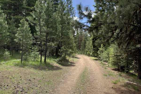
Malheur Ford
This is a longer, more adventurous, alternative to the section on NF-16 that passes through Crane Prairie. Along the route you'll encounter a water crossing, numerous wild camping sites, and incredible views of the Malheur River. This route includes wide open higher speed gravel road as well as narr...
Learn more about Malheur Ford
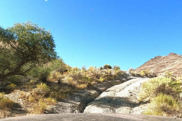
Owyhee Oxbow Basin
Owyhee Oxbow Basin is a rugged, 3.6-mile trail suited for remote adventurers seeking stunning canyon views and challenging backcountry terrain. This rocky and rutted dirt road climbs steeply from the Owyhee River into Oxbow Basin, gaining approximately 1,211 feet of elevation with a maximum gradient...
Learn more about Owyhee Oxbow Basin
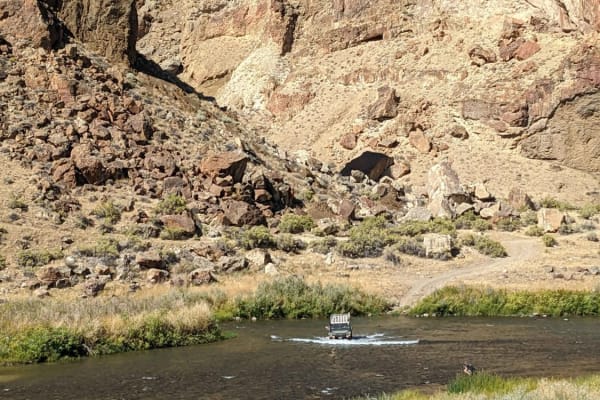
Owyhee River Trail
This braided dirt road follows along the Owyhee River from the ford at Birch Creek Ranch to where the river dumps into the South end of the Owyhee Reservoir. This trail is mostly along the West side of the river, but there are two river crossings and a slow, rocky stretch on the East side that bypas...
Learn more about Owyhee River Trail
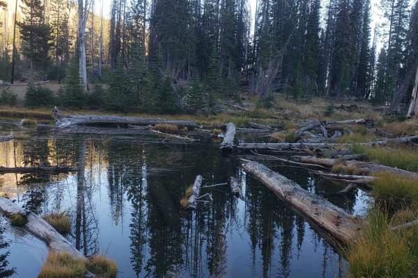
High Lake Road
This route is a well maintained gravel road that accesses High Lake, as well as Indian Springs and the Strawberry Mountain Wilderness. Much of the route was burned years ago and has dangerous standing trees near the road, so keeps your eyes open and look up. The hike to High Lake is a very short hik...
Learn more about High Lake Road
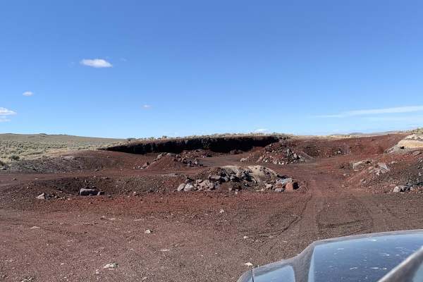
Virginia valley cinder pile
This is a 5-mile loop on state land. If the gates are closed, close them behind you, otherwise you can leave them open. The trail is rutted year-round in most places. It is muddy, with some mud holes in the winter, but solid in the spring. It goes from Virginia Valley to a cinder pit and then to som...
Learn more about Virginia valley cinder pile
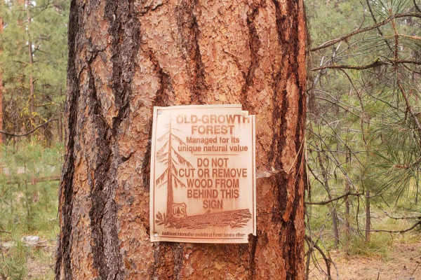
37 Spring Trail
37 Spring Trail is an ideal, short, and rugged offroad route for beginners and experienced four-wheel-drive owners seeking unmatched solitude in a beautiful old-growth Ponderosa Pine forest. Stretching approximately 0.85 miles, this path offers a quick but scenic detour that leads directly to the pe...
Learn more about 37 Spring Trail
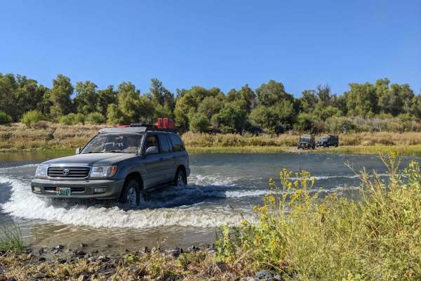
Blue Canyon Trail
Blue Canyon Trail offers scenic adventure seekers and offroad enthusiasts a rugged, moderately challenging journey along the boundary of the Blue Canyon Wilderness. This 9.8-mile trail climbs over 2,000 feet of elevation from the Owyhee River up to the towering rimrock above, starting at approximate...
Learn more about Blue Canyon Trail
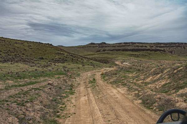
Snively Gultch
This trail is simple, but a few sections make it very difficult. Depending on the direction you take will depend on the difficulty. If you start off of Owyhee Lake Road, this is where the most difficult part of the road is. You will be greeted by a rushing river, and water levels change with the sea...
Learn more about Snively Gultch
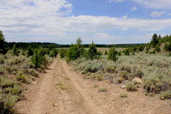
Gravel Ridge
This is an excellent, little known high-desert trail near the small town of Burns. This trail is primarily made up of two track and rugged rock. There are seasonal water crossings, narrow roads and steep edges, rock crawling and fun side routes. Some excellent and remote off-grid exploring which can...
Learn more about Gravel Ridge
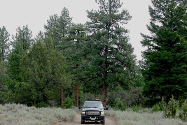
Lost Creek
This trail goes through an old-growth ponderosa pine forest above the Silvies River, near the small town of Burns. Between the river and the road are some high rimrocks, which make up the cliffs and canyons in the area. Near the end of the trail is Rimrock Springs, which goes down an interesting slo...
Learn more about Lost Creek
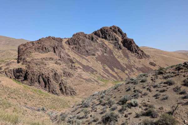
Camp Kettle Creek Road Trail
Camp Kettle Creek Road Trail is a moderately challenging route that traverses a bumpy, off-camber dirt road scattered with embedded rocks and rugged terrain. The trail features one notable steep ascent, requiring careful throttle control and good traction--especially if the surface is loose or dusty...
Learn more about Camp Kettle Creek Road Trail
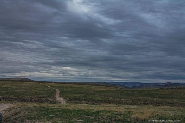
Rock Valley Lookout Road
Do you like a muddy road with beautiful views? This road is for you! This trail is very easy and also very short but offers a great spot to camp for a few nights. There is cellphone service available, and you can get some amazing views of the city lights at night.
Learn more about Rock Valley Lookout Road
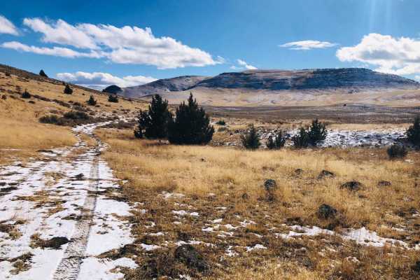
Wild Horse Tank Road
Wild Horse Tank Road is a scenic 1.5-mile out-and-back trail ideal for drivers seeking a quick detour with excellent dispersed camping opportunities and the chance to spot wild horse herds in southeastern Oregon. Navigating between Quail Creek Reservoir and North Quail Creek Reservoir, this route cl...
Learn more about Wild Horse Tank Road
ATV trails near Juntura, Oregon
Explore ATV-friendly trails near you. These trails are accessible for vehicles up to 50 inches wide, perfect for ATVs and smaller off-road machines.
Bonita Road
This 30-mile Westfall loop is a scenic adventure ride through the remote backcountry west of Westfall, Oregon, winding across a mix of fast gravel roads, two-track, and rugged ranch and forest terrain. The route climbs and descends through rolling hills with expansive views of the surrounding high d...
Learn more about Bonita Road
NFDR1675 Crane Creek CG
This short trail provides a great selection of campsites, mild technical obstacles and a few water crossings. Things start out pretty easy. As you meander along to the North Fork of the Malheur River, the terrain becomes more challenging after crossing the bridge and passing the larger semi-develope...
Learn more about NFDR1675 Crane Creek CG
Dry Creek Road
Dry Creek Road is an ideal route for remote overland enthusiasts and dual-sport riders seeking a scenic, solitary drive along the dramatic, volcanic canyons of eastern Oregon's Owyhee Country. Stretching approximately 24 miles along the western side of the Owyhee Reservoir, this easy dirt road provi...
Learn more about Dry Creek Road
Dry Buttes Reservoir
The Dry Buttes Reservoir trail is a remote out-and-back spur designed for intermediate offroaders looking to explore the wild and desolate backcountry of the Owyhee Canyonlands. Spanning approximately 3.2 miles, this rough dirt road climbs into the Dry Buttes Wilderness Study Area (WSA) and terminat...
Learn more about Dry Buttes Reservoir
UTV/side-by-side trails near Juntura, Oregon
Find UTV and side-by-side trails near you. These trails accommodate vehicles up to 60 inches wide, ideal for UTVs, side-by-sides, and wider off-road rigs.
Bonita Road
This 30-mile Westfall loop is a scenic adventure ride through the remote backcountry west of Westfall, Oregon, winding across a mix of fast gravel roads, two-track, and rugged ranch and forest terrain. The route climbs and descends through rolling hills with expansive views of the surrounding high d...
Learn more about Bonita Road
NFDR1675 Crane Creek CG
This short trail provides a great selection of campsites, mild technical obstacles and a few water crossings. Things start out pretty easy. As you meander along to the North Fork of the Malheur River, the terrain becomes more challenging after crossing the bridge and passing the larger semi-develope...
Learn more about NFDR1675 Crane Creek CG
Dry Creek Road
Dry Creek Road is an ideal route for remote overland enthusiasts and dual-sport riders seeking a scenic, solitary drive along the dramatic, volcanic canyons of eastern Oregon's Owyhee Country. Stretching approximately 24 miles along the western side of the Owyhee Reservoir, this easy dirt road provi...
Learn more about Dry Creek Road
Dry Buttes Reservoir
The Dry Buttes Reservoir trail is a remote out-and-back spur designed for intermediate offroaders looking to explore the wild and desolate backcountry of the Owyhee Canyonlands. Spanning approximately 3.2 miles, this rough dirt road climbs into the Dry Buttes Wilderness Study Area (WSA) and terminat...
Learn more about Dry Buttes Reservoir
The onX Offroad Difference
onX Offroad combines trail photos, descriptions, difficulty ratings, width restrictions, seasonality, and more in a user-friendly interface. Available on all devices, with offline access and full compatibility with CarPlay and Android Auto. Discover what you're missing today!
Open Trail Map