
Dirt Bike Trails
Near Hot Sulphur Springs, Colorado
Explore All Dirt Bike Trails Near Hot Sulphur Springs, Colorado
Dirt Bike Trails Near Hot Sulphur Springs, Colorado
Discover the best dirt bike trails near you. Browse trail maps, check difficulty ratings, and find your next adventure — whether you're looking for a quick ride or an all-day expedition.
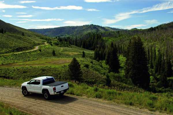
Beaver Creek, Muddy Creek
A cool loop that will test your mud bogging ability. It is likely you will get stuck, so this is a great trail to take with a few of your friends. It's also very handy to have a winch. There is some good camping along Beaver Creek. Open June 15 to November 15.
Learn more about Beaver Creek, Muddy Creek
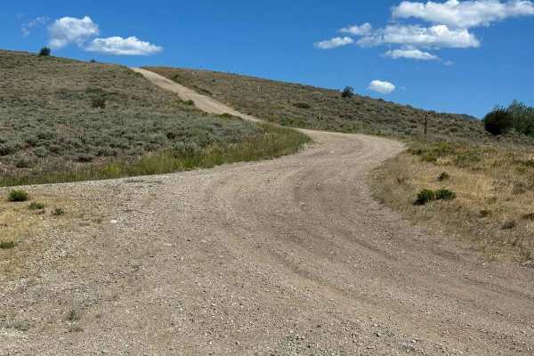
BLM 2759
BLM 2759 is a highly scenic and vital connector trail that invites adventurers on a constantly evolving journey through breathtaking mountain landscapes, rolling hills, and vibrant, plunging valleys. The route consists predominantly of a dirt and fine gravel mix that provides a pleasant drive in dry...
Learn more about BLM 2759
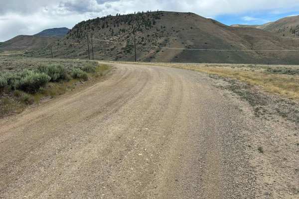
Kinney Creek - BLM 2755
BLM Route 2755 is a hard-packed dirt road that is passable by most vehicles in dry conditions. While you may encounter occasional ruts or muddy sections after rain, this is generally an easy and accessible route. The road begins in a valley bordered by private property before climbing into the outer...
Learn more about Kinney Creek - BLM 2755
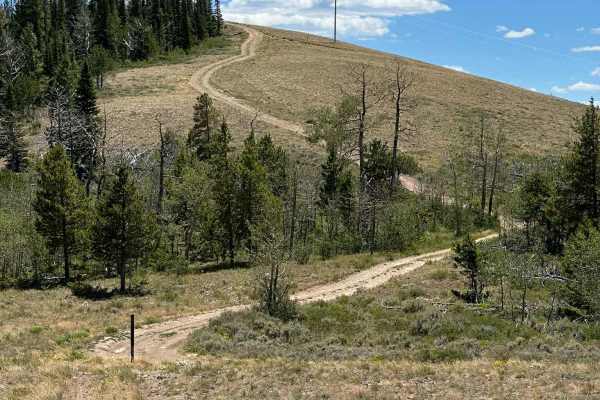
Summit View Road
Summit View Road is primarily a hard-packed dirt road but includes two very steep sections with loose gravel and rocks. While most 4WD vehicles can navigate these obstacles, low-range 4WD is recommended to maintain control on the descents and reduce the risk of slipping. The route climbs to a scenic...
Learn more about Summit View Road
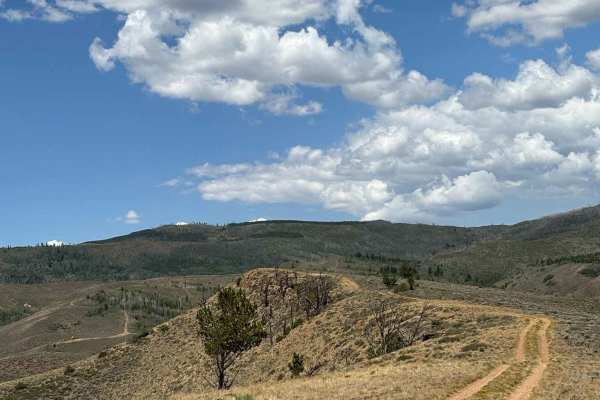
Kinney Creek Highline
This route follows a powerline road to a pair of excellent dispersed campsites that are easily accessible from the main road. Along the way, it offers beautiful views of the surrounding foothills and the rugged peaks of the Gore Range, making it a worthwhile drive even if you're not planning to camp...
Learn more about Kinney Creek Highline
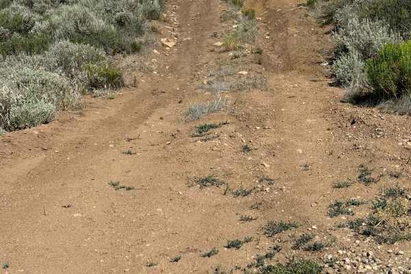
Valley View Road
Valley View Road, named for its sweeping views across the Middle Park Valley, is a short loop that provides access to several small dispersed campsites.
The northern entrance begins with a steep section containing a large washout, while the southern entrance offers a slightly easier approach. The r...
Learn more about Valley View Road
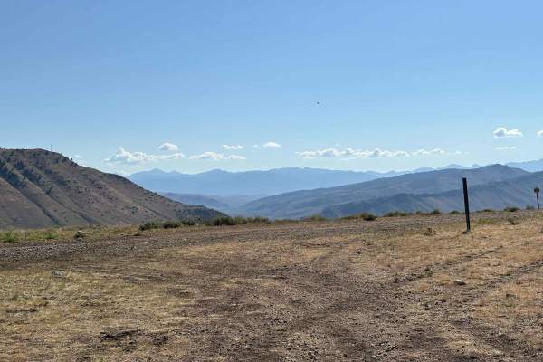
BLM 2759 Cutoff
This route connects the initial section of the BLM trail system above Parshall to its deeper reaches, serving as an important access point to the greater area. It features a moderate hill climb with beautiful views of the surrounding rolling plains and distant mountain peaks, making it both a scenic...
Learn more about BLM 2759 Cutoff
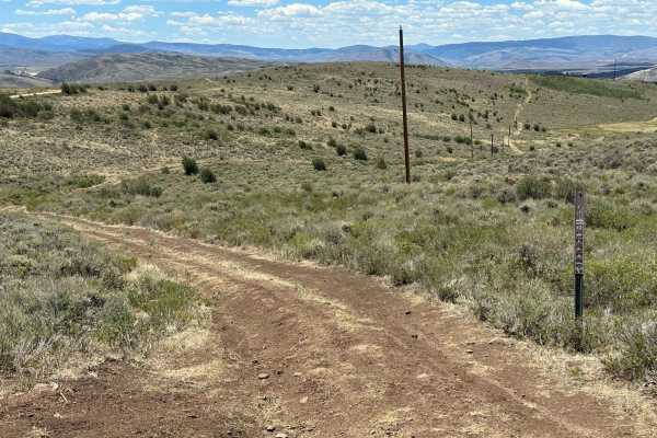
Jensen Creek Road
Jensen Creek Road is a heavily rutted and overgrown route that follows Jensen Creek through a scenic valley, with views of Grouse Mountain along the way. Deep ruts create several mildly off-camber sections, requiring careful tire placement. After precipitation, the route has a high potential for mud...
Learn more about Jensen Creek Road
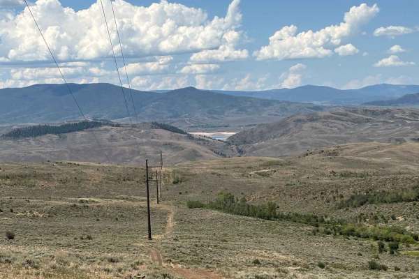
Jensen Creek Grove
This route loops through a small grove of aspens, leading to a secluded dispersed campsite that is popular with hunters and bird watchers alike. The area is known for its population of native sage grouse, making wildlife sightings common throughout the season. It's a peaceful route and an excellent ...
Learn more about Jensen Creek Grove
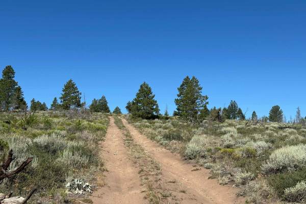
Tilted Mesa Road
Tilted Mesa Road is a short spur off BLM Route 2768 that provides access to views of the Middle Park Basin. The route travels through sagebrush and areas of sparse forest, offering an open and scenic landscape. The road consists of hard-packed dirt with some overgrown sections and is passable by mos...
Learn more about Tilted Mesa Road
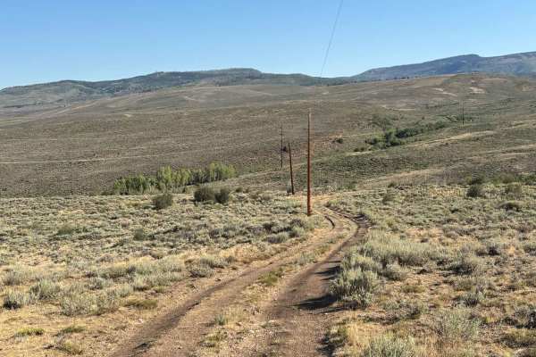
Parshall Bureau of Land Management Access
This route leads into some of the more remote sections of the Bureau of Land Management trail system near the town of Parshall, bordering the Hot Sulphur Springs State Wildlife Area. Along the way, it offers expansive views of the rolling plains and distant mountain peaks that define the area. The r...
Learn more about Parshall Bureau of Land Management Access
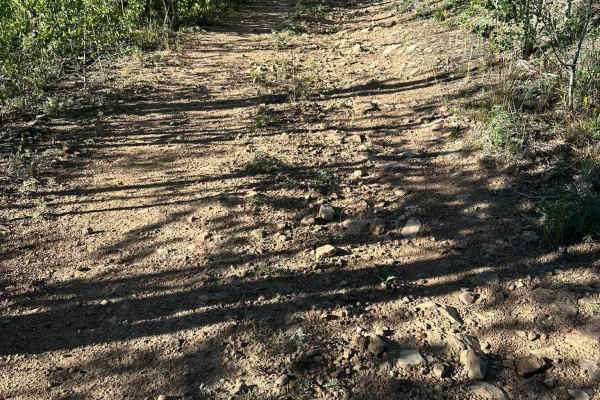
Kinney Creek Road
Kinney Creek Road is a short spur that runs parallel to Kinney Creek. The route consists of hard-packed dirt with a few small ruts and one section that can become muddy after wet weather. The road ends at a U.S. Forest Service closure. While motorized travel is no longer permitted beyond this point,...
Learn more about Kinney Creek Road
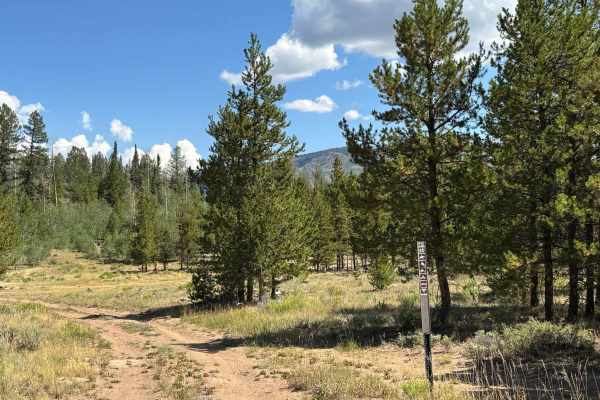
Aspen Nook
The Aspen Nook trail is a remarkably scenic, short forest route branching directly off BLM 2759, offering a distinct mix of highly accessible camping and increasingly rugged, technical terrain. The journey begins on a base of fine, soft dirt featuring moderate 4 to 6-inch ruts that are relatively ea...
Learn more about Aspen Nook
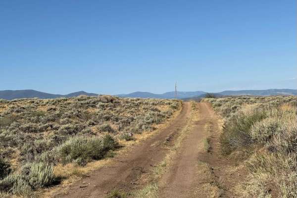
Bureau of Land Management Route 2738 Loop
This trail leads from Bureau of Land Management land through the Hot Sulphur Springs State Wildlife Area before connecting to the trail system deeper into the area. It serves as a useful alternative to the rockier sections found along the main routes while still providing beautiful views of the surr...
Learn more about Bureau of Land Management Route 2738 Loop
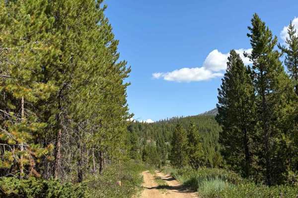
Bureau of Land Management 2762 Cutoff
This route connects Bureau of Land Management Route 2759 to Bureau of Land Management Route 2762 through a narrow, winding corridor of dense forest. Larger vehicles should use caution, as sections of the trail are extremely tight and feature significant rutting that can make navigation more challeng...
Learn more about Bureau of Land Management 2762 Cutoff
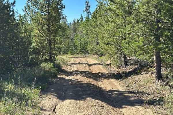
BLM Route 2768
BLM Route 2768 is a hard-packed dirt road with a few small ruts and mildly overgrown sections. The route includes several areas with scenic views of the surrounding landscape. While dispersed camping is technically allowed along this route, there are no established campsites. Full cell service is av...
Learn more about BLM Route 2768
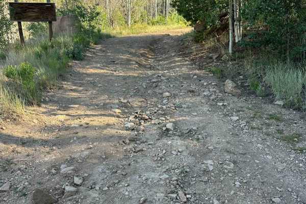
BLM Route 2756
BLM Route 2756 begins with a short, steep climb featuring ruts and washouts before transitioning to a hard-packed dirt surface. Shortly afterward, the route traverses a brief shelf road section with scenic views. Beyond the shelf road, the route becomes increasingly overgrown as it climbs to an over...
Learn more about BLM Route 2756
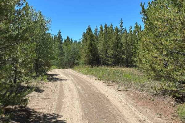
BLM 2762
BLM 2762 begins as a hard-packed dirt road with a few ruts and the potential for muddy sections after wet weather. The final mile is less traveled and becomes heavily overgrown. The route winds through pine forest with occasional views of the Middle Park Valley to the east. Due to the amount of over...
Learn more about BLM 2762
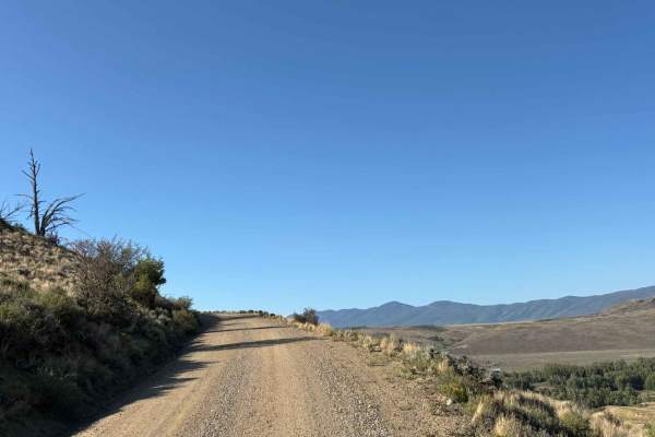
Bureau of Land Management Route 2738 - Ingress
This route branches off Highway 40 onto a simple dirt road leading into Bureau of Land Management land, providing easy access to the area's expansive network of trails that wind through vast open plains and rolling hills. A conveniently located dispersed campsite sits just off the route, making it a...
Learn more about Bureau of Land Management Route 2738 - Ingress
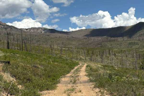
Kinney Creek
This route branches Route 2755 and descends into the valley surrounding Kinney Creek, passing through an old burn scar with many downed trees. Along the way, it offers scenic views of McQueary Ridge and provides access to the quieter, more secluded areas of the valley. Note that this trail is closed...
Learn more about Kinney Creek
ATV trails near Hot Sulphur Springs, Colorado
Explore ATV-friendly trails near you. These trails are accessible for vehicles up to 50 inches wide, perfect for ATVs and smaller off-road machines.
Beaver Creek, Muddy Creek
A cool loop that will test your mud bogging ability. It is likely you will get stuck, so this is a great trail to take with a few of your friends. It's also very handy to have a winch. There is some good camping along Beaver Creek. Open June 15 to November 15.
Learn more about Beaver Creek, Muddy Creek
BLM 2759
BLM 2759 is a highly scenic and vital connector trail that invites adventurers on a constantly evolving journey through breathtaking mountain landscapes, rolling hills, and vibrant, plunging valleys. The route consists predominantly of a dirt and fine gravel mix that provides a pleasant drive in dry...
Learn more about BLM 2759
Kinney Creek - BLM 2755
BLM Route 2755 is a hard-packed dirt road that is passable by most vehicles in dry conditions. While you may encounter occasional ruts or muddy sections after rain, this is generally an easy and accessible route. The road begins in a valley bordered by private property before climbing into the outer...
Learn more about Kinney Creek - BLM 2755
Summit View Road
Summit View Road is primarily a hard-packed dirt road but includes two very steep sections with loose gravel and rocks. While most 4WD vehicles can navigate these obstacles, low-range 4WD is recommended to maintain control on the descents and reduce the risk of slipping. The route climbs to a scenic...
Learn more about Summit View Road
UTV/side-by-side trails near Hot Sulphur Springs, Colorado
Find UTV and side-by-side trails near you. These trails accommodate vehicles up to 60 inches wide, ideal for UTVs, side-by-sides, and wider off-road rigs.
Beaver Creek, Muddy Creek
A cool loop that will test your mud bogging ability. It is likely you will get stuck, so this is a great trail to take with a few of your friends. It's also very handy to have a winch. There is some good camping along Beaver Creek. Open June 15 to November 15.
Learn more about Beaver Creek, Muddy Creek
BLM 2759
BLM 2759 is a highly scenic and vital connector trail that invites adventurers on a constantly evolving journey through breathtaking mountain landscapes, rolling hills, and vibrant, plunging valleys. The route consists predominantly of a dirt and fine gravel mix that provides a pleasant drive in dry...
Learn more about BLM 2759
Kinney Creek - BLM 2755
BLM Route 2755 is a hard-packed dirt road that is passable by most vehicles in dry conditions. While you may encounter occasional ruts or muddy sections after rain, this is generally an easy and accessible route. The road begins in a valley bordered by private property before climbing into the outer...
Learn more about Kinney Creek - BLM 2755
Summit View Road
Summit View Road is primarily a hard-packed dirt road but includes two very steep sections with loose gravel and rocks. While most 4WD vehicles can navigate these obstacles, low-range 4WD is recommended to maintain control on the descents and reduce the risk of slipping. The route climbs to a scenic...
Learn more about Summit View Road
The onX Offroad Difference
onX Offroad combines trail photos, descriptions, difficulty ratings, width restrictions, seasonality, and more in a user-friendly interface. Available on all devices, with offline access and full compatibility with CarPlay and Android Auto. Discover what you're missing today!
Open Trail Map